Brazil Coastline Map – Broenner Carte du Bresil, 1772 Captaincies
€ 405
Original antique · The actual sheet photographed · Certificate of authenticity on request · Sold unframed · Worldwide shipping from € 15 (rates)
Date
1772
Sheet size
28 × 37 cm (11.0 × 14.6 in)
Condition
Good
Reference
BG-03468
What the condition grades mean
Excellent
Bright and clean, with no faults worth mentioning.
Very good
Only light signs of age, such as faint toning.
Good
Normal signs of age for a sheet of this period: toning, some foxing, small marks or neat old repairs.
Fair
Clear faults such as staining, tears or repairs, priced to match.
Every fault we see is written in the condition note, and the whole sheet is shown uncropped in the photos.
Condition
Very good condition. Strong dark impression on clean laid paper. Light general age toning and minor marginal handling marks. Small nick to lower left margin corner not affecting printed area. Original center fold as issued. Wide margins intact.
About this sheet
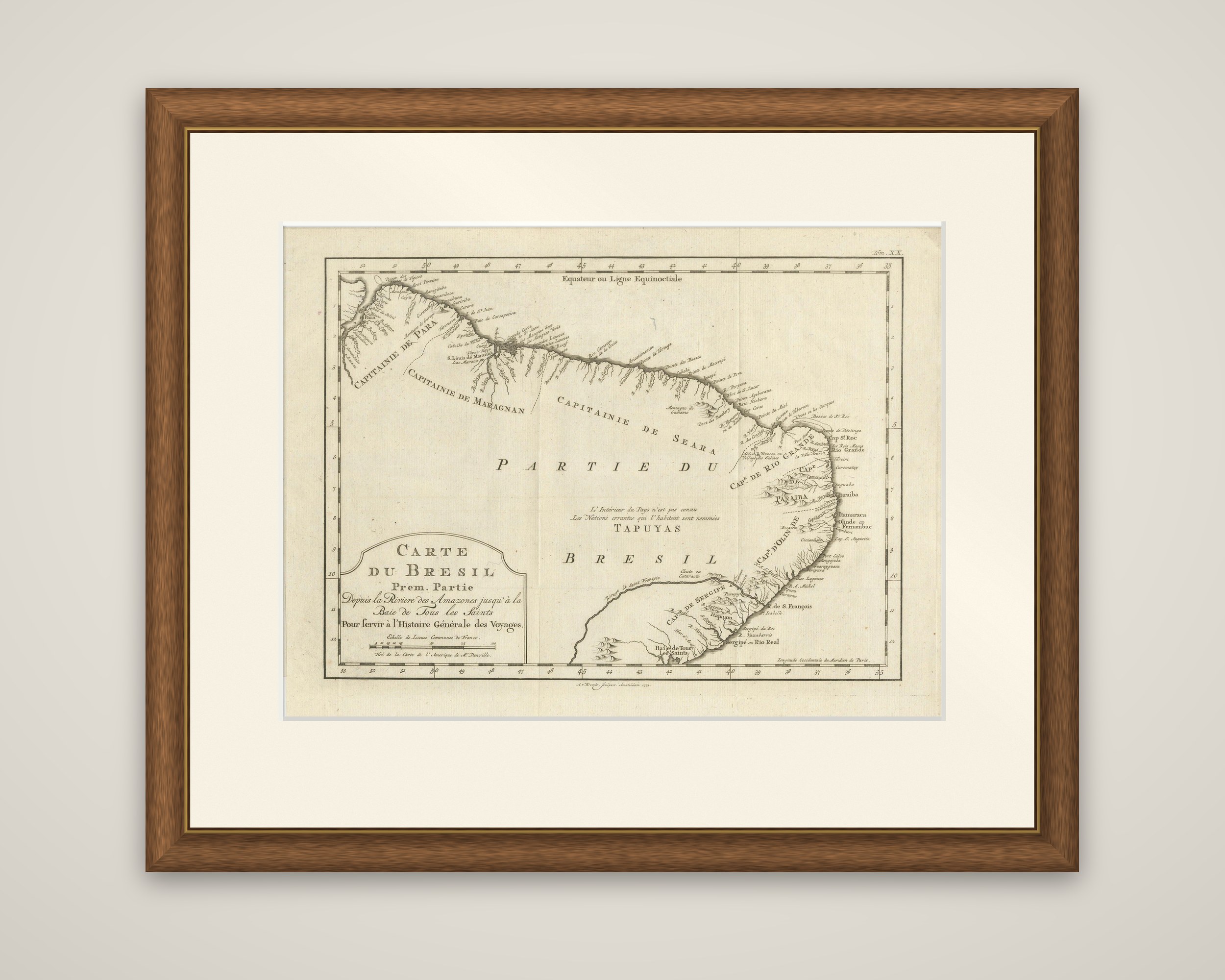
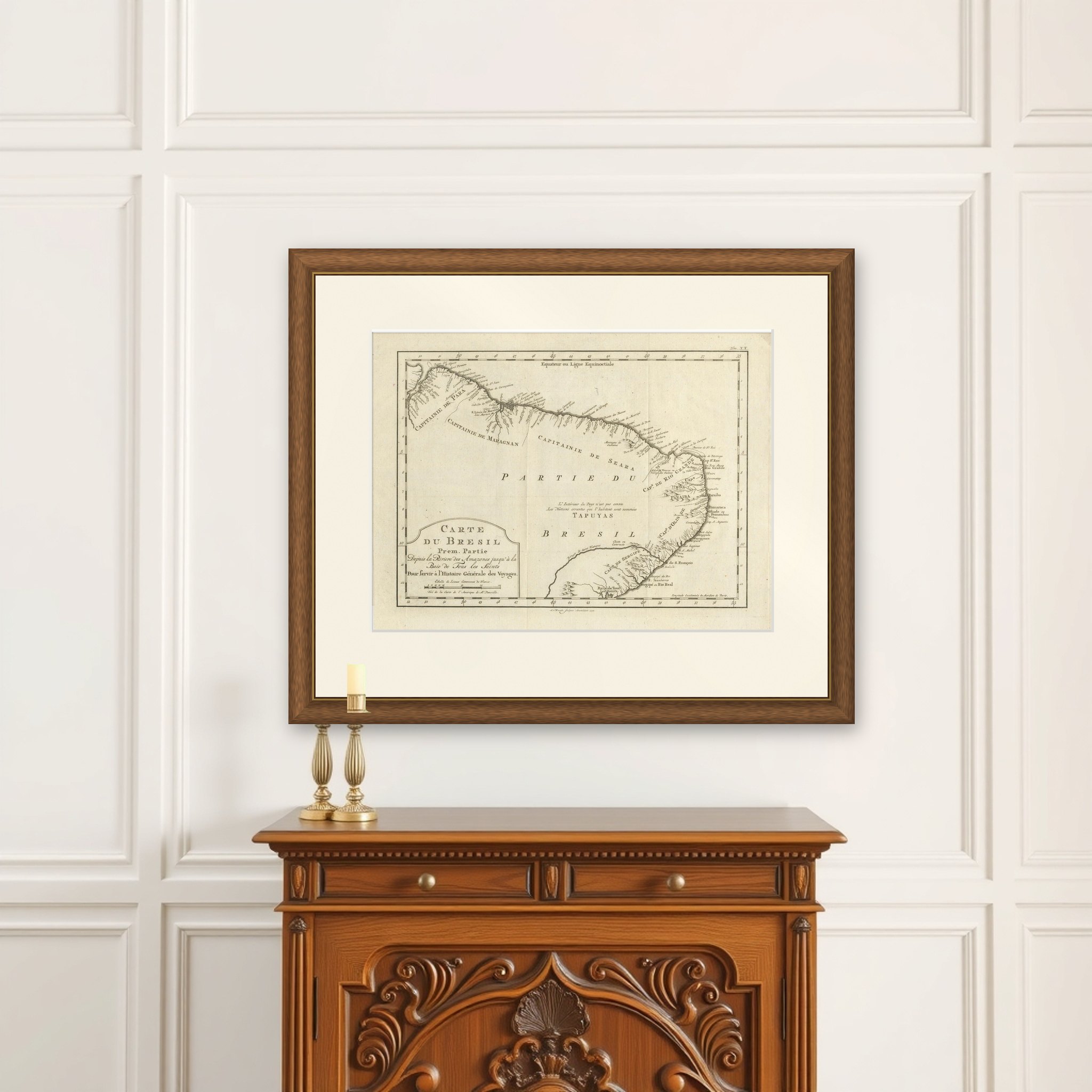
Northeastern Brazil from the mouth of the Amazon to the Bay of All Saints, an original copper engraving published in Krefeld by J.J. Broenner in 1772. The sheet is printed in black on laid paper and is titled "Carte du Bresil Prem.Partie, Depuis la Riviere des Amazones jusqu'a la Baie de Tous les Saints, Pour servir a l'Histoire Generale des Voyages." The imprint below the neatly ruled border reads "Tirée de la Carte de l'Amerique de Mr. d'Anville. A Krevelt, chez J.J. Broenner, 1772."
The map shows the coast as a long, finely hatched line with its capes, rivers, bays and settlements lettered in French. The captaincies of Para, Maragnan, Seara and Rio Grande are named in large letters along the shore, with Paraiba, Pernambuco, Cap de Sergipe and the Baie de Tous les Saints further south. The equator is marked across the top. The interior is left blank apart from a note that the inland country is unknown and inhabited by wandering nations called Tapuyas. The title cartouche, with its scale of common leagues of France, sits in the lower left corner.
The sheet was drawn for the Histoire Generale des Voyages, the multivolume travel collection edited by Abbé Prévost.