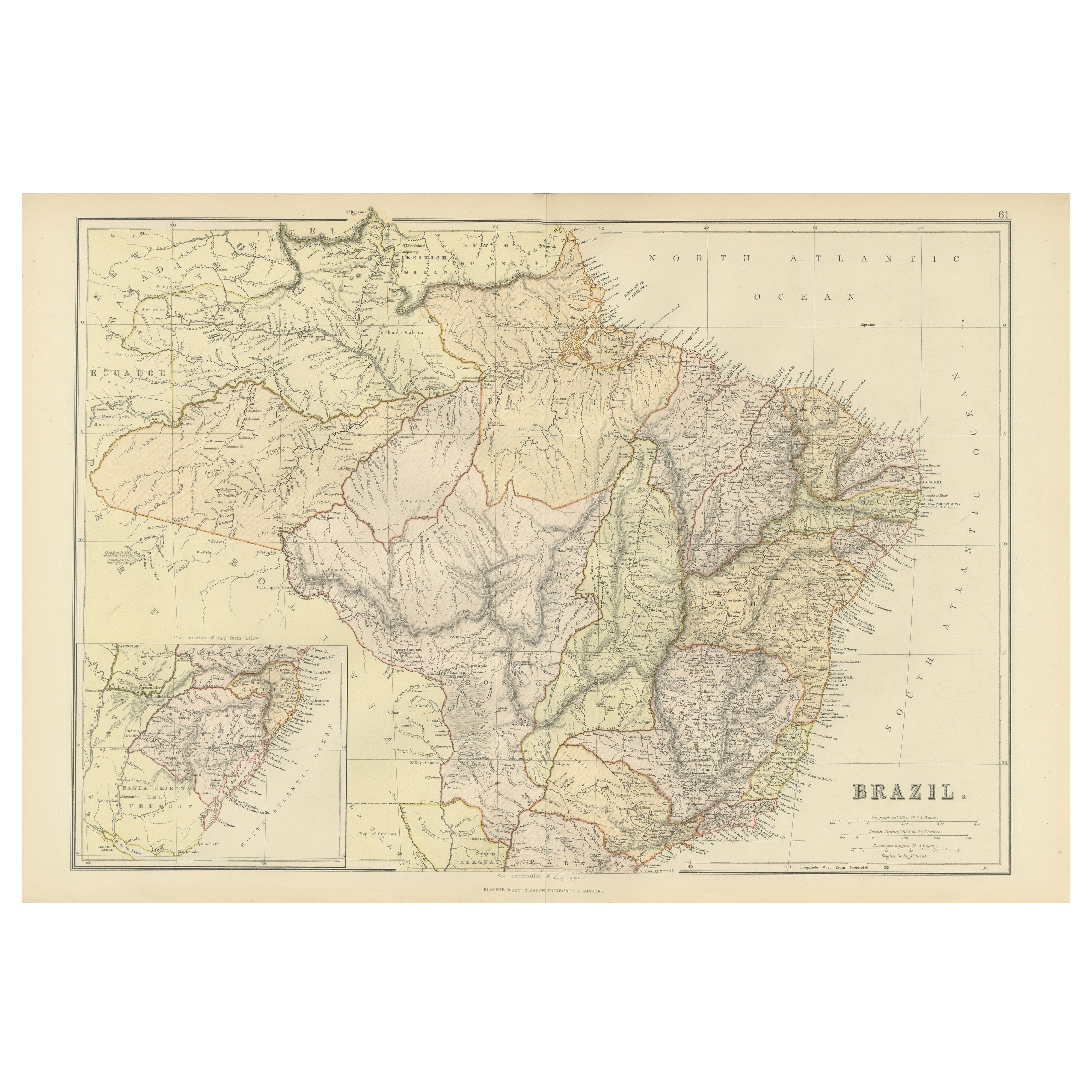
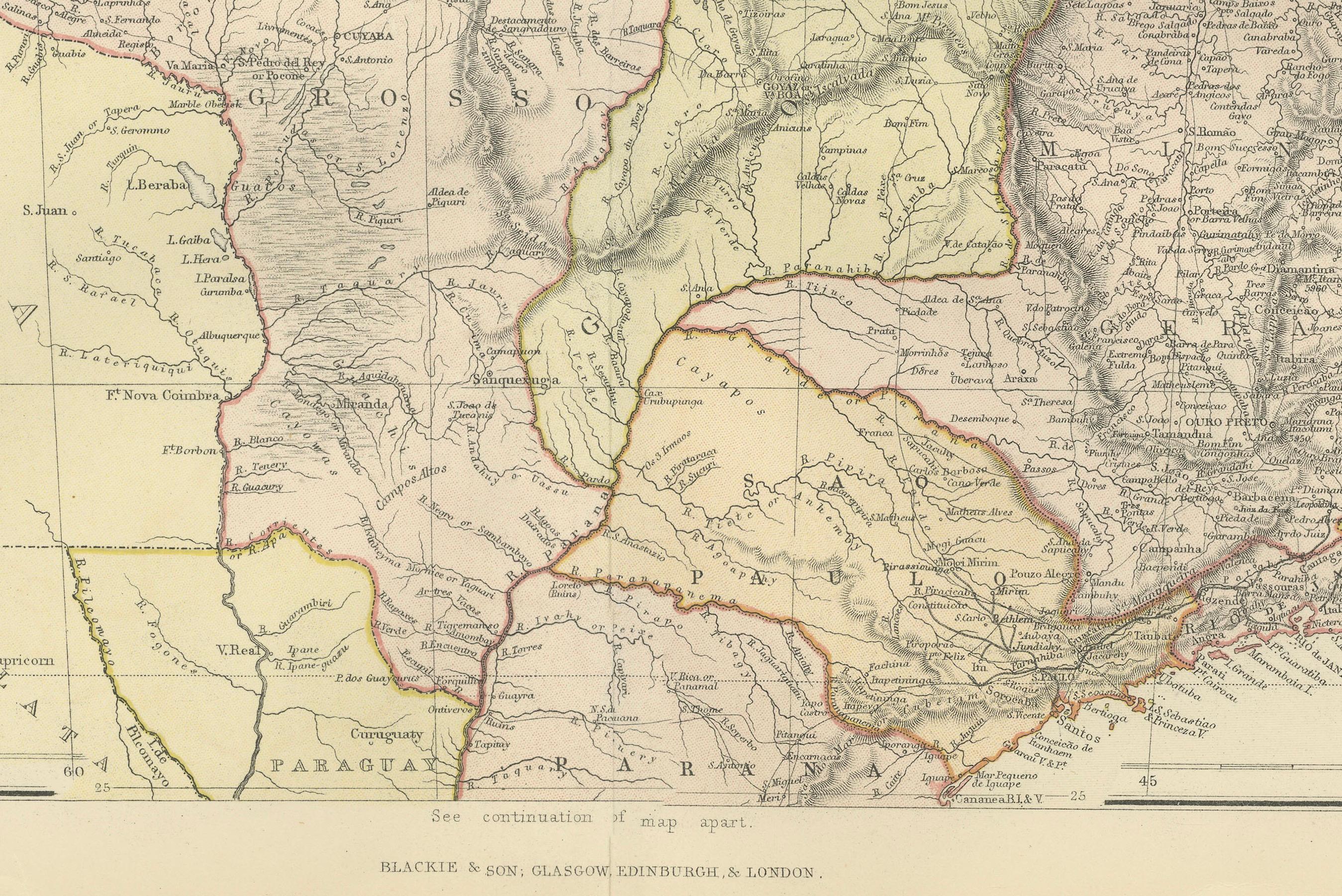
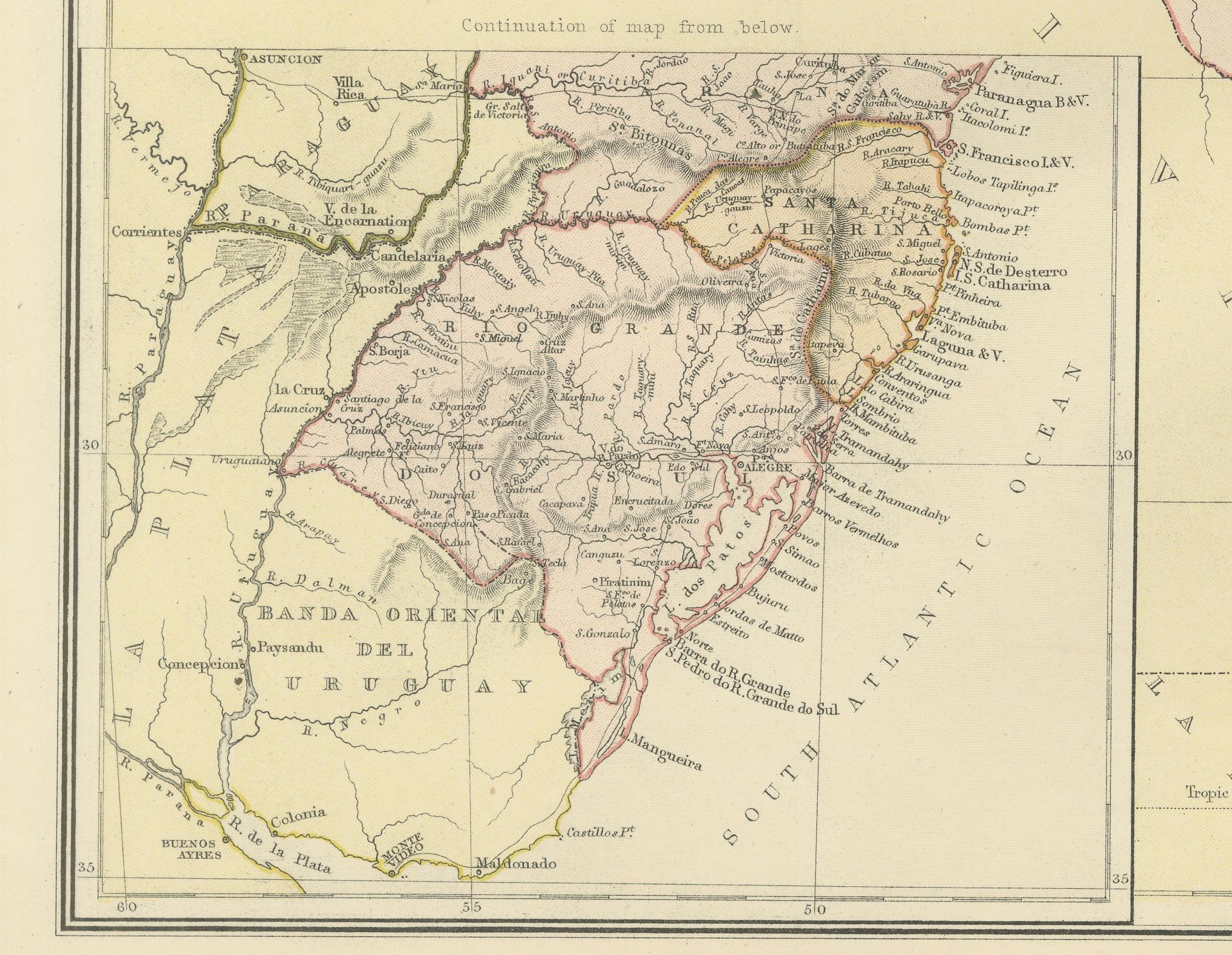
1882 Map of Brazil: Historic Borders, River Systems, and Coastal Regions
€ 250
One of a kind: this is the sheet in the photographs. Ships from Langweer, the Netherlands.
Date
1882
Sheet size
38 × 57 cm (15.0 × 22.4 in)
Condition
Good
Reference
BG-13601-2-70
Condition
Good condition, folding line in the middle. The outer borders are slightly discolored due to age, but not the image. This map is ideal for framing. Study the image carefully.
About this sheet
This 1882 map presents a detailed cartographic view of Brazil, the largest country in South America. It illustrates the geographical features, political divisions, and infrastructure of the nation during the late 19th century.
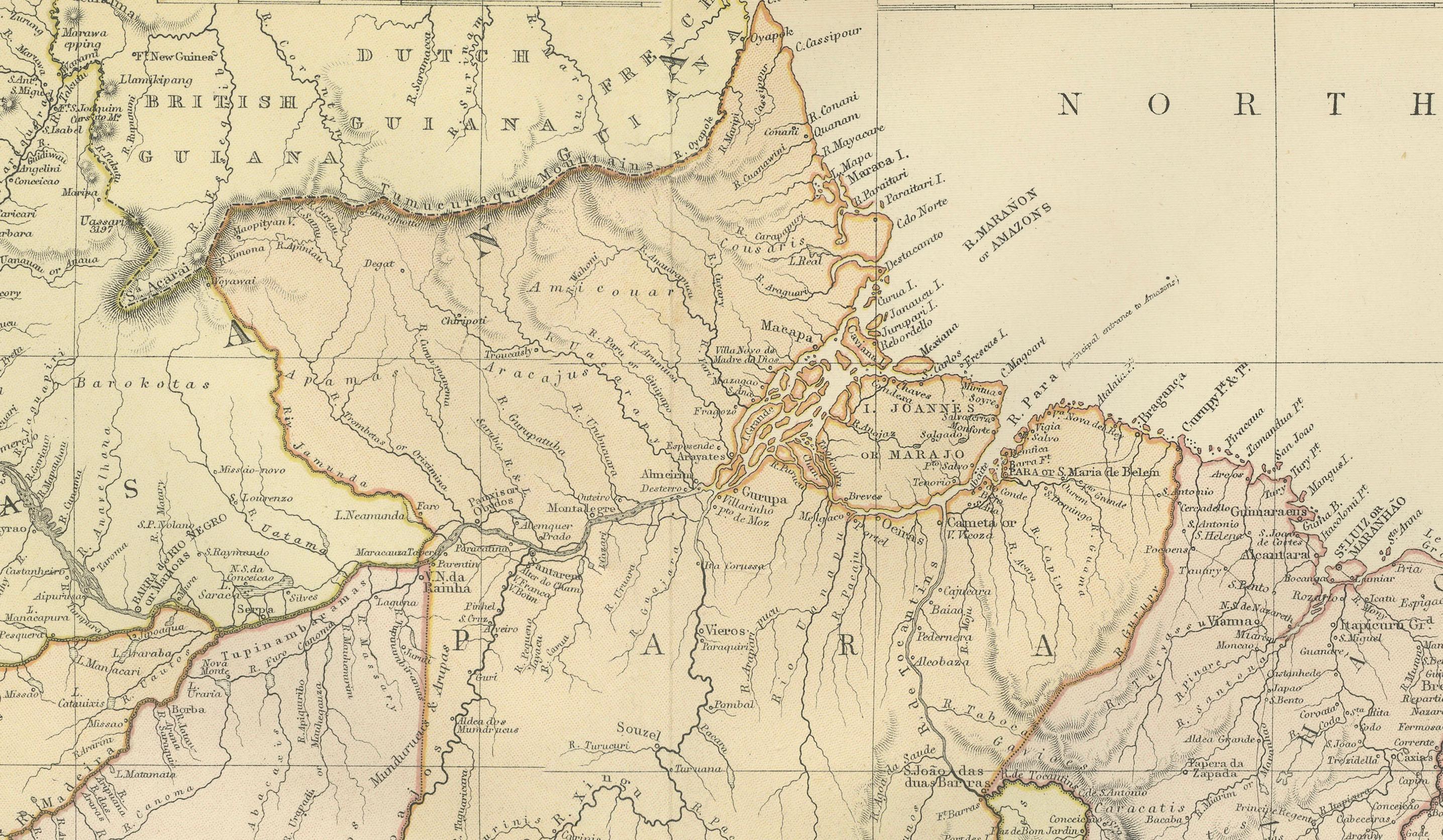
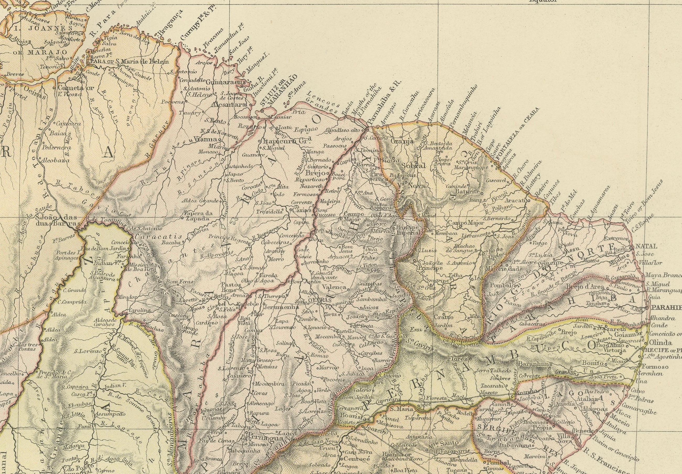
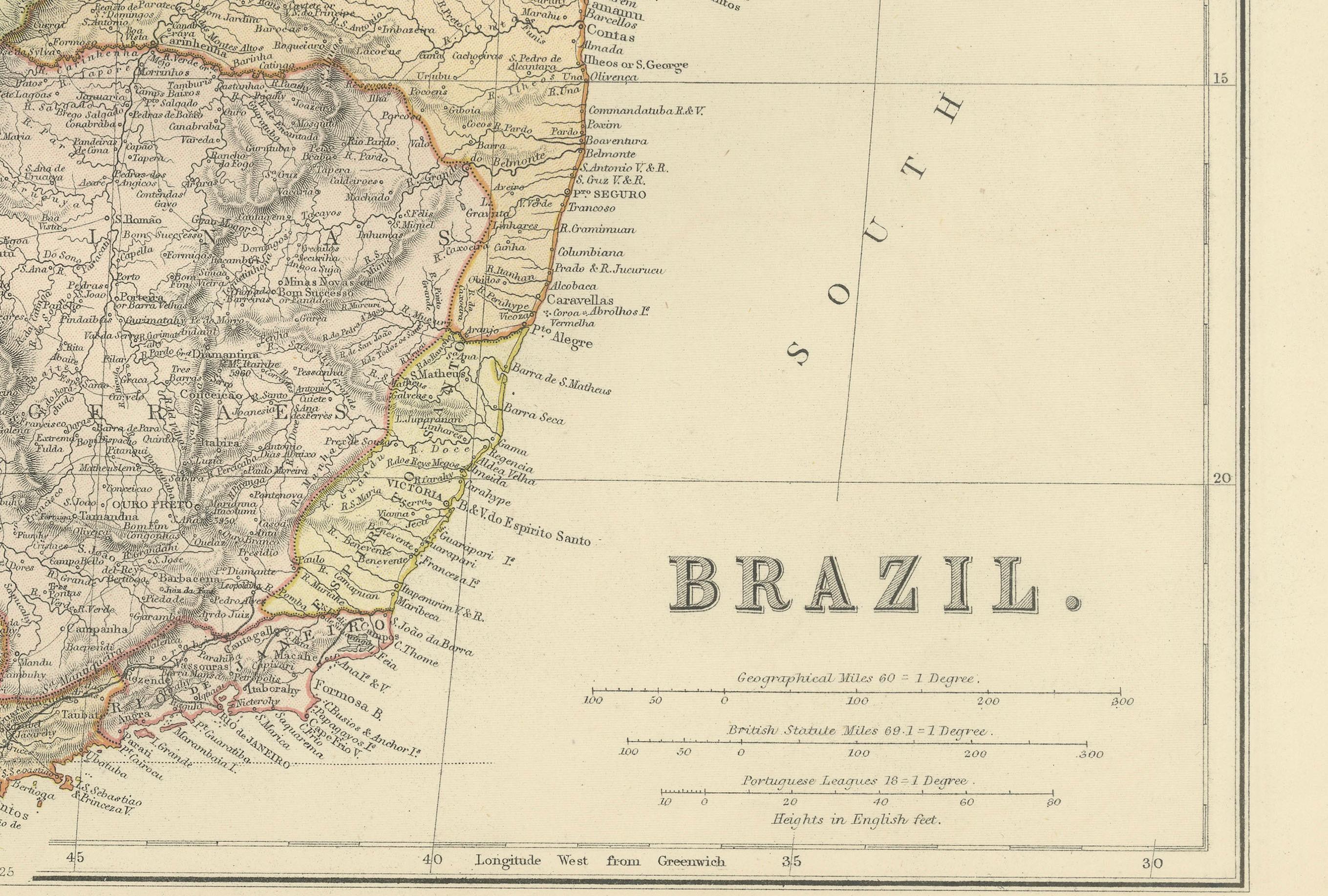
The map highlights Brazil’s extensive river systems, including the Amazon, São Francisco, and Paraná rivers, which were vital for transportation and commerce during this period. The coastline along the Atlantic Ocean is intricately detailed, showcasing key cities such as Rio de Janeiro, Salvador, and Recife. The political boundaries of Brazil’s provinces are marked with color outlines, providing insight into the administrative divisions of the time.
Additionally, the map includes an inset of parts of the surrounding region, offering a broader view of the geographical and political context of South America.
Condition Report:
The map is in very good condition, with a light patina typical of antique maps. The edges show minimal wear, and faint fold lines are visible but do not detract from the overall presentation. The printed details remain crisp and legible, while the coloring used to define boundaries and features is vibrant and well-preserved.
Tips on How to Frame This Map:
1. Choose a frame with a natural or dark wood finish, such as mahogany or walnut, to enhance the historical aesthetic of the map. 2. Use acid-free matting and backing to protect the map from further aging or discoloration. 3. Opt for UV-protective glass to shield the map from light exposure and preserve its vivid details. 4. Float-mounting the map can showcase its edges, emphasizing its original format, while a wide mat border provides a clean and elegant look. 5. Display the map in an area with indirect lighting to avoid glare and maintain its condition.
Recommended Matting Color:
Neutral tones like cream, beige, or light gray complement the map's aged appearance and subtle coloring. A soft green or pale blue mat can reflect Brazil’s lush forests and coastline, adding a contextual touch. Avoid bold or bright colors that might overpower the map’s intricate details.