North America · 19th century
Antique Map of Missouri – The Show-Me State with St. Louis Inset, 1888
€ 460€ 32230% off
Original antique · The actual sheet photographed · Certificate of authenticity on request · Sold unframed · Worldwide shipping from € 15 (rates)
- Date
- 1888
- Sheet size
- 36 × 52.5 cm (14.2 × 20.7 in)
- Condition
- Good
- Reference
- BG-12794-39
What the condition grades mean
- Excellent
- Bright and clean, with no faults worth mentioning.
- Very good
- Only light signs of age, such as faint toning.
- Good
- Normal signs of age for a sheet of this period: toning, some foxing, small marks or neat old repairs.
- Fair
- Clear faults such as staining, tears or repairs, priced to match.
Every fault we see is written in the condition note, and the whole sheet is shown uncropped in the photos.
Condition
Condition summary: Very good condition overall. Mild age toning and some light foxing in margins. Original fold line as issued, no major tears or repairs. Strong paper with crisp engraved detail.
About this sheet
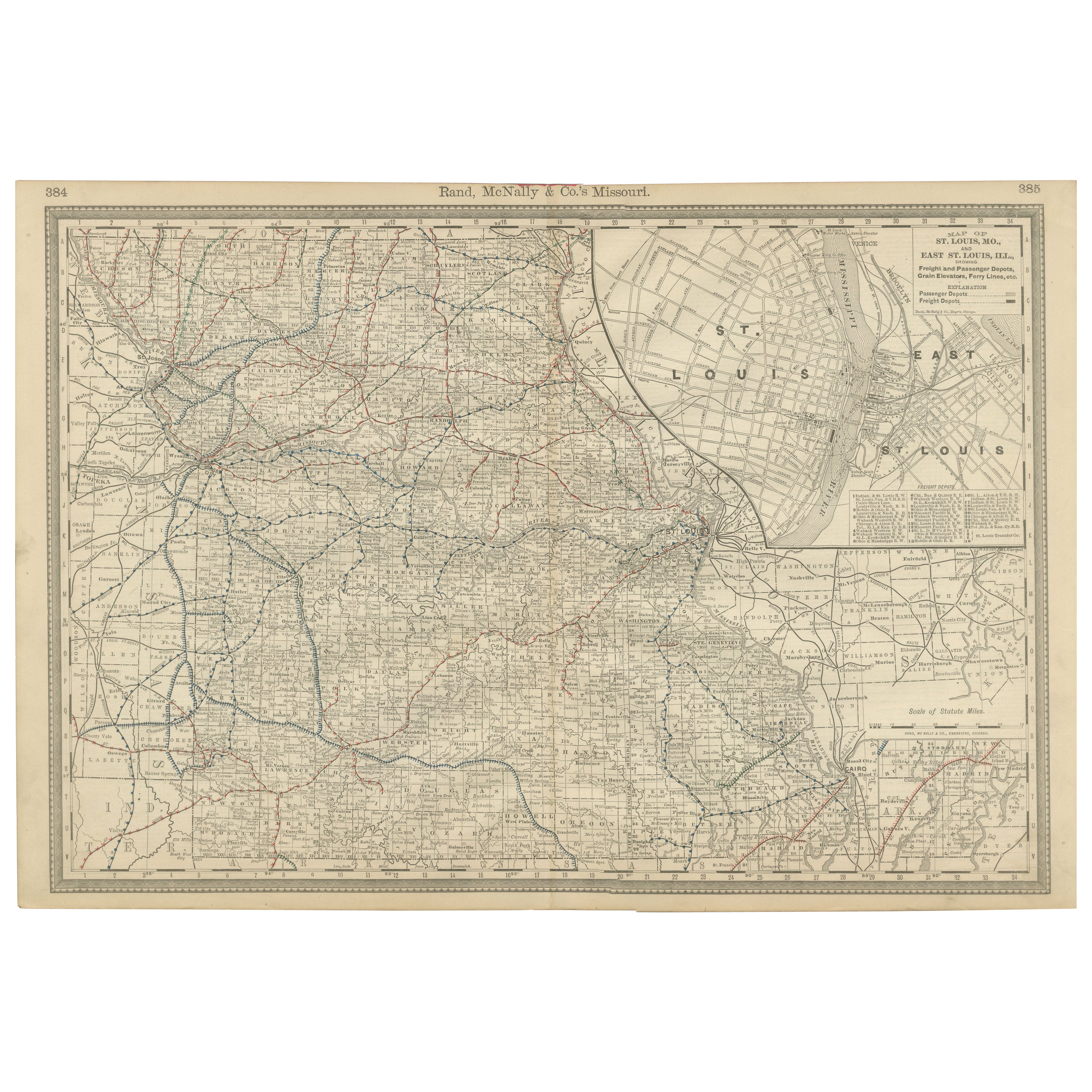
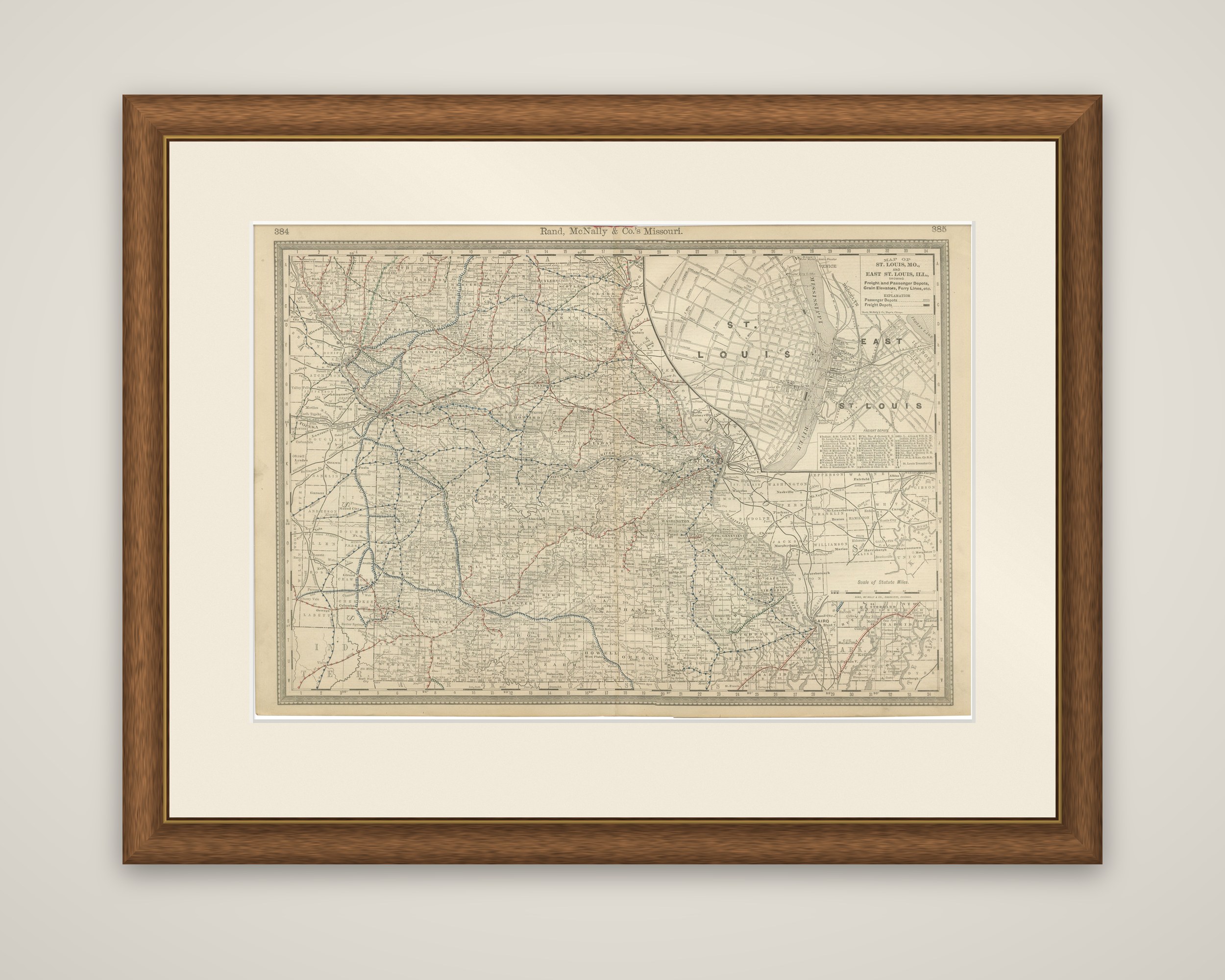
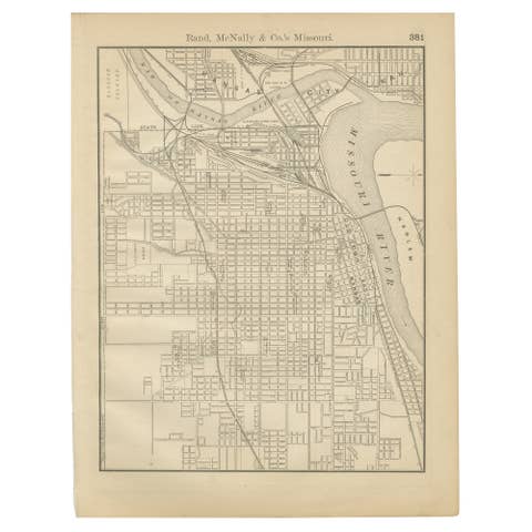
Missouri in 1888, an original map by Rand, McNally & Co. of Chicago from their Improved Indexed Business Atlas and Shippers Guide. The sheet is printed in black on toned paper with railroad lines overprinted in red and blue, and the running head "Rand, McNally & Co.'s Missouri" appears across the top between atlas page numbers 384 and 385.
The state is drawn with its counties and a thick web of railroad lines converging on St. Louis, on the Mississippi at the eastern edge, and on Kansas City in the west. A large inset in the upper right, lettered "Map of St. Louis, Mo., and East St. Louis, Ill.," shows the street plan on both banks of the river, with the freight and passenger depots, grain elevators and ferry lines marked, together with a key to the passenger and freight depots. A smaller inset at the lower right shows the southeastern corner of the state around Cairo.
The sheet pairs the state map with a detailed plan of the city where Missouri's rail lines met the river, and records the railroad network of a state that served as a main gateway to the West.