About this sheet
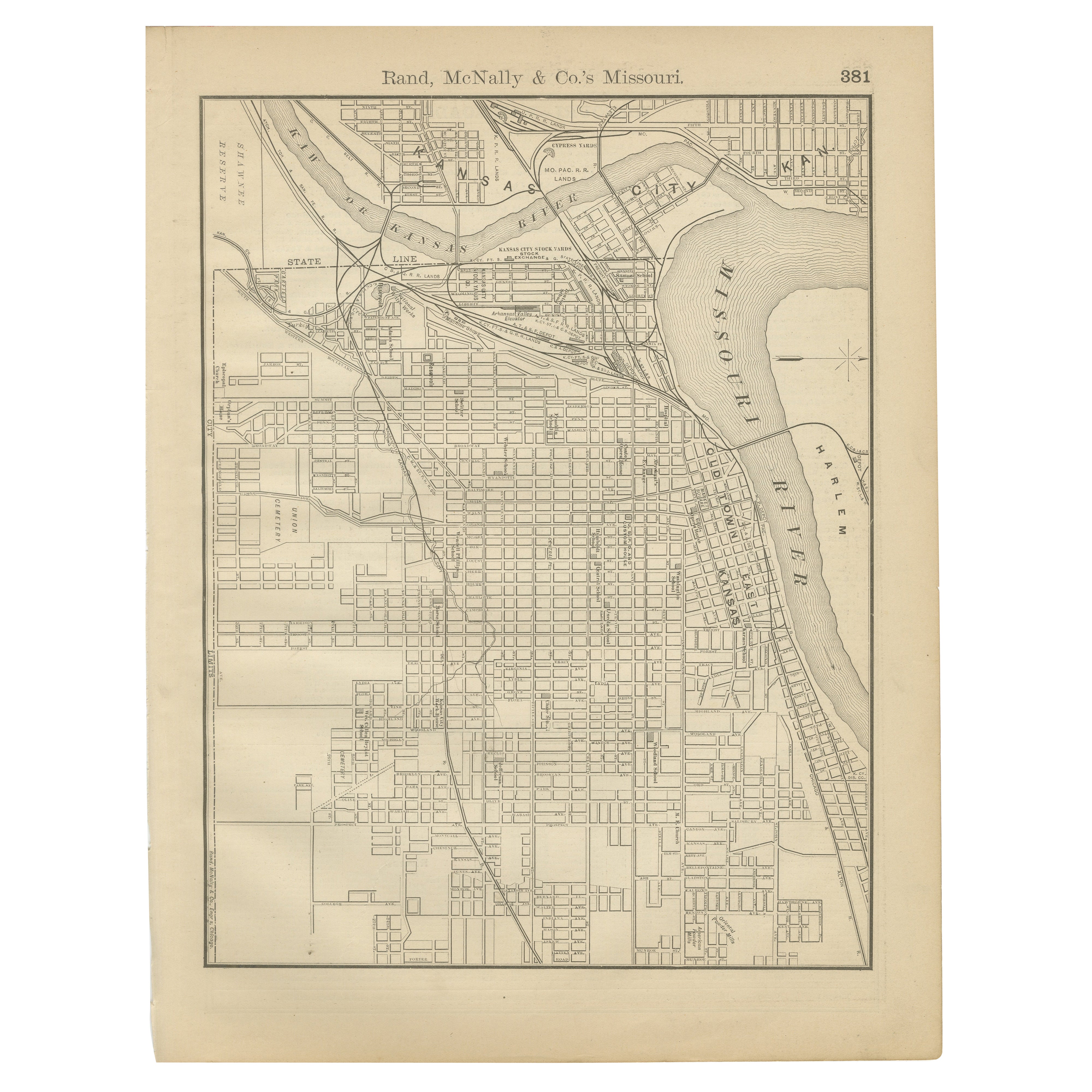
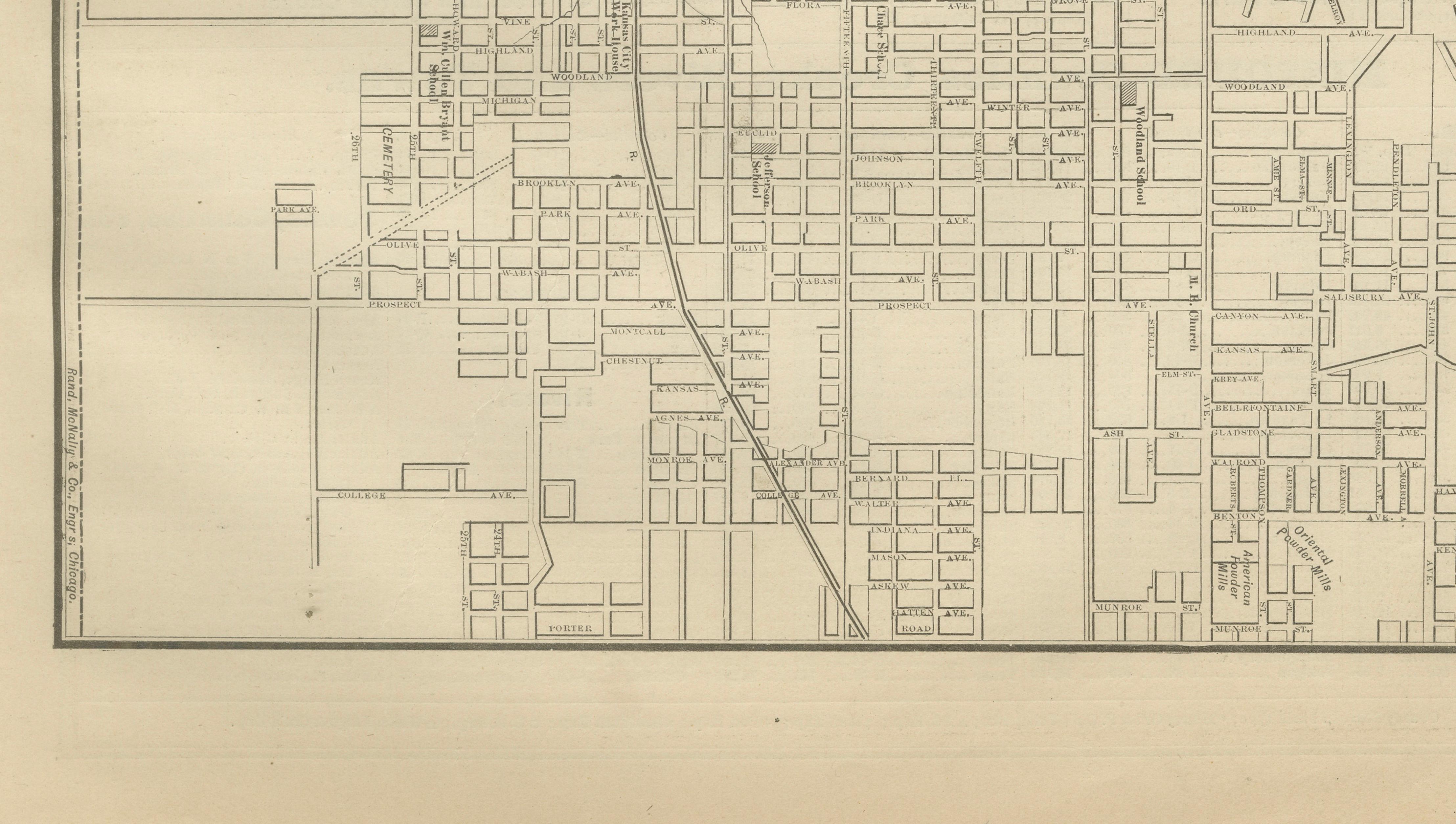
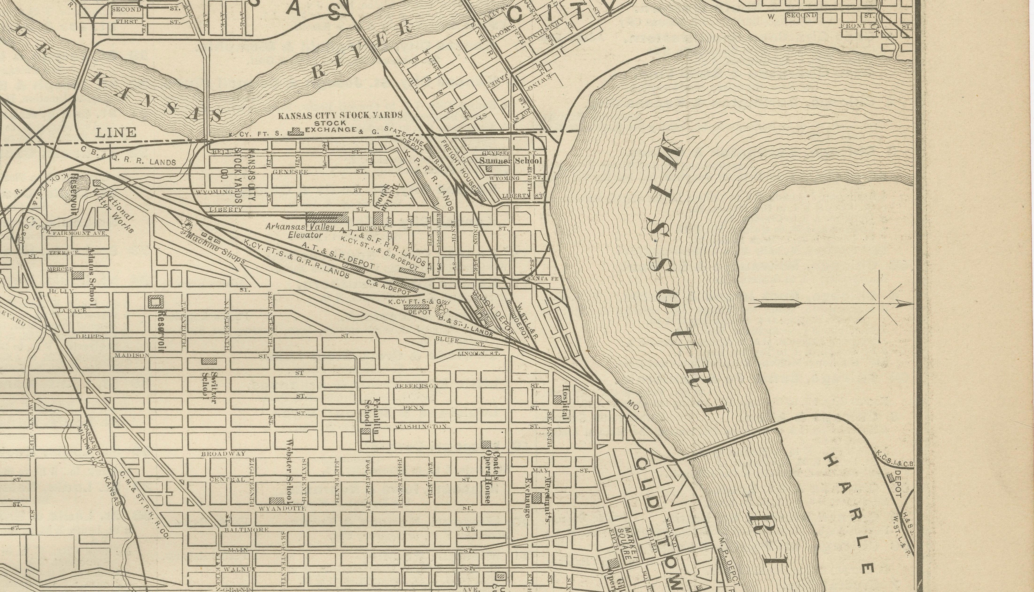
This original antique atlas map shows Kansas City in fine urban detail, depicting the street grid, railroads, riverfront, and surrounding districts at the point where Missouri and Kansas meet. The Missouri River dominates the composition, with bridges, rail yards, stock yards, and industrial zones clearly laid out, giving the map a strong architectural and graphic presence.
Published by Rand, McNally & Co. in the late 19th century, the map captures Kansas City during a period of rapid growth, when rail infrastructure and river transport made it one of the most important commercial hubs of the American Midwest. Neighborhood blocks, major avenues, rail connections, and municipal features are rendered with crisp precision, creating a visually dense yet orderly image.
The restrained monochrome palette and rectilinear street pattern make this map particularly appealing as decorative wall art. Its vertical format reads beautifully in interiors, functioning as both a historical document and a striking design object for offices, studies, libraries, or urban-themed spaces.
Printed on original period atlas paper, the sheet retains the authentic surface texture and light patina characteristic of genuine 19th-century maps. Once framed, it presents as elegant and graphic rather than overtly technical.
Condition report: Light age toning consistent with age. Minor edge wear and small handling marks from original atlas binding. Overall clean and well preserved.
Framing tips: Works especially well in black, dark walnut, or natural oak frames with an ivory or warm off-white mat. Museum glass recommended.
Technique: Lithograph
Maker: Rand, McNally & Co., United States, late 19th century
Keywords:
antique kansas city map, kansas city wall art, rand mcnally map, missouri kansas border map, missouri river map, historic kansas city, railroad map kansas city, antique city plan, urban map wall decor, midwest history map