About this sheet
Antique Chicago Map Wall Art – Railroads, Lake Michigan & City Grid, Rand McNally
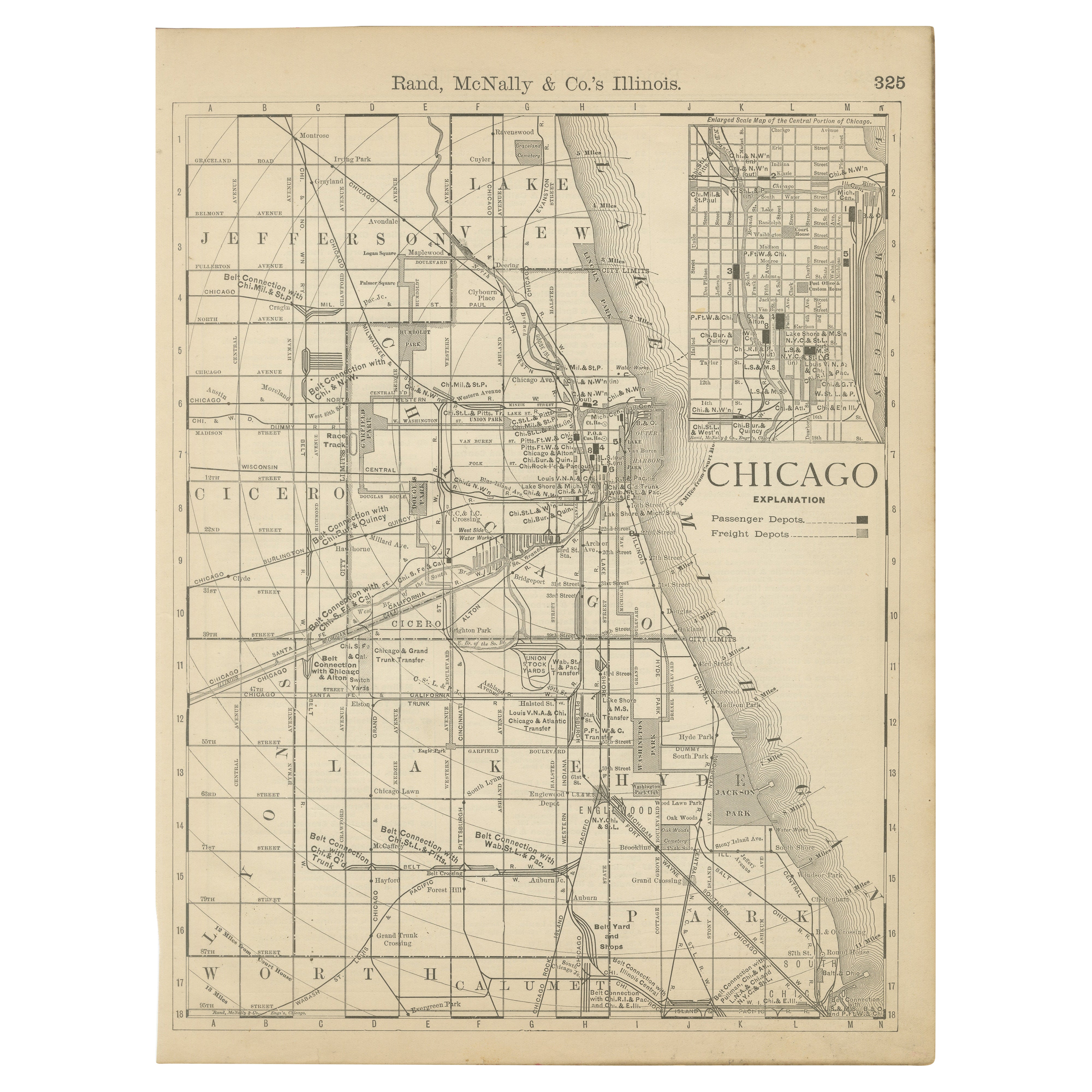
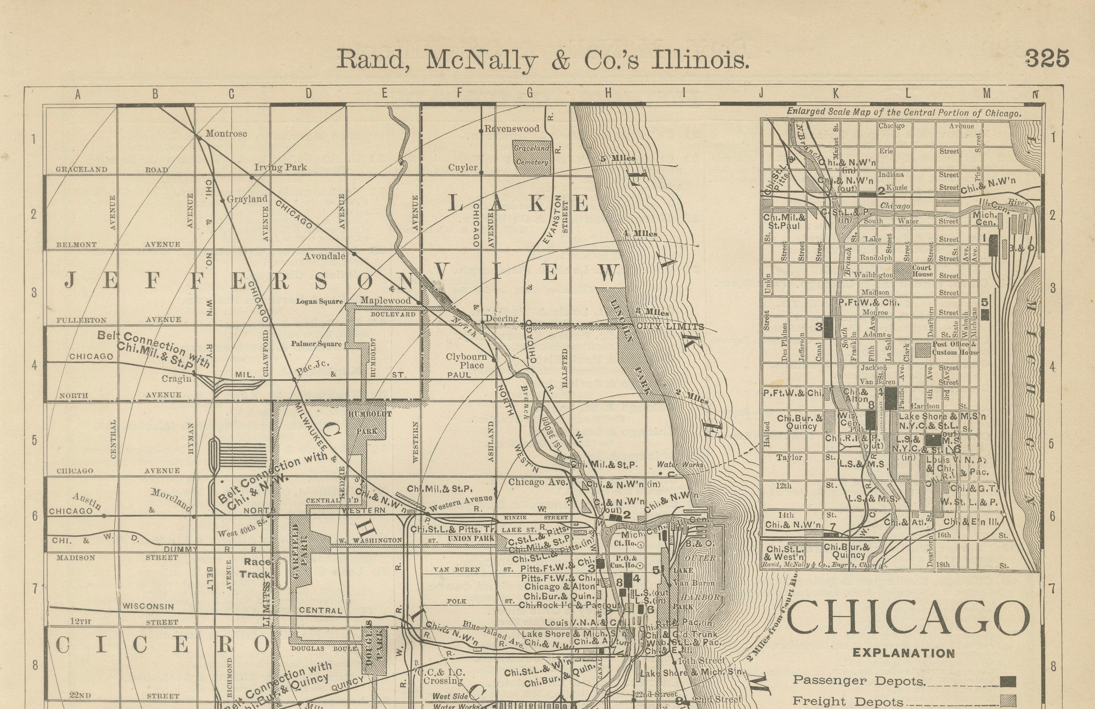
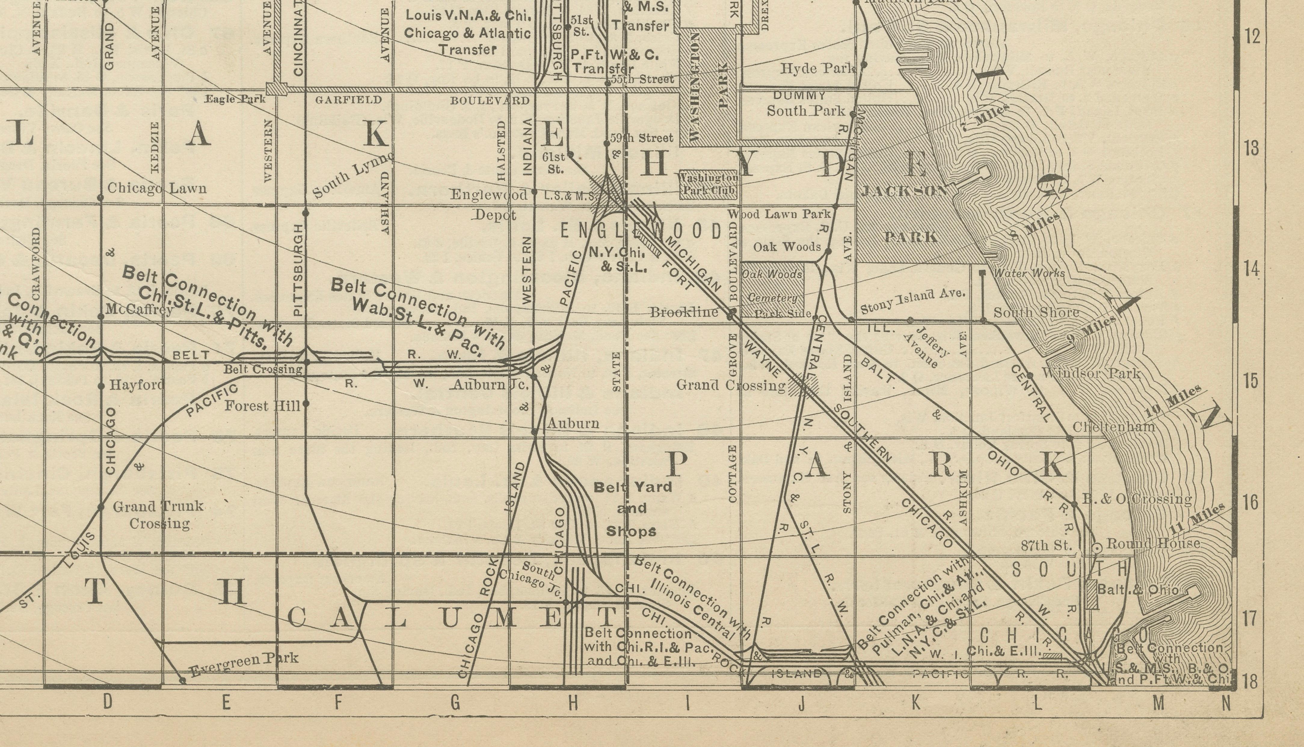
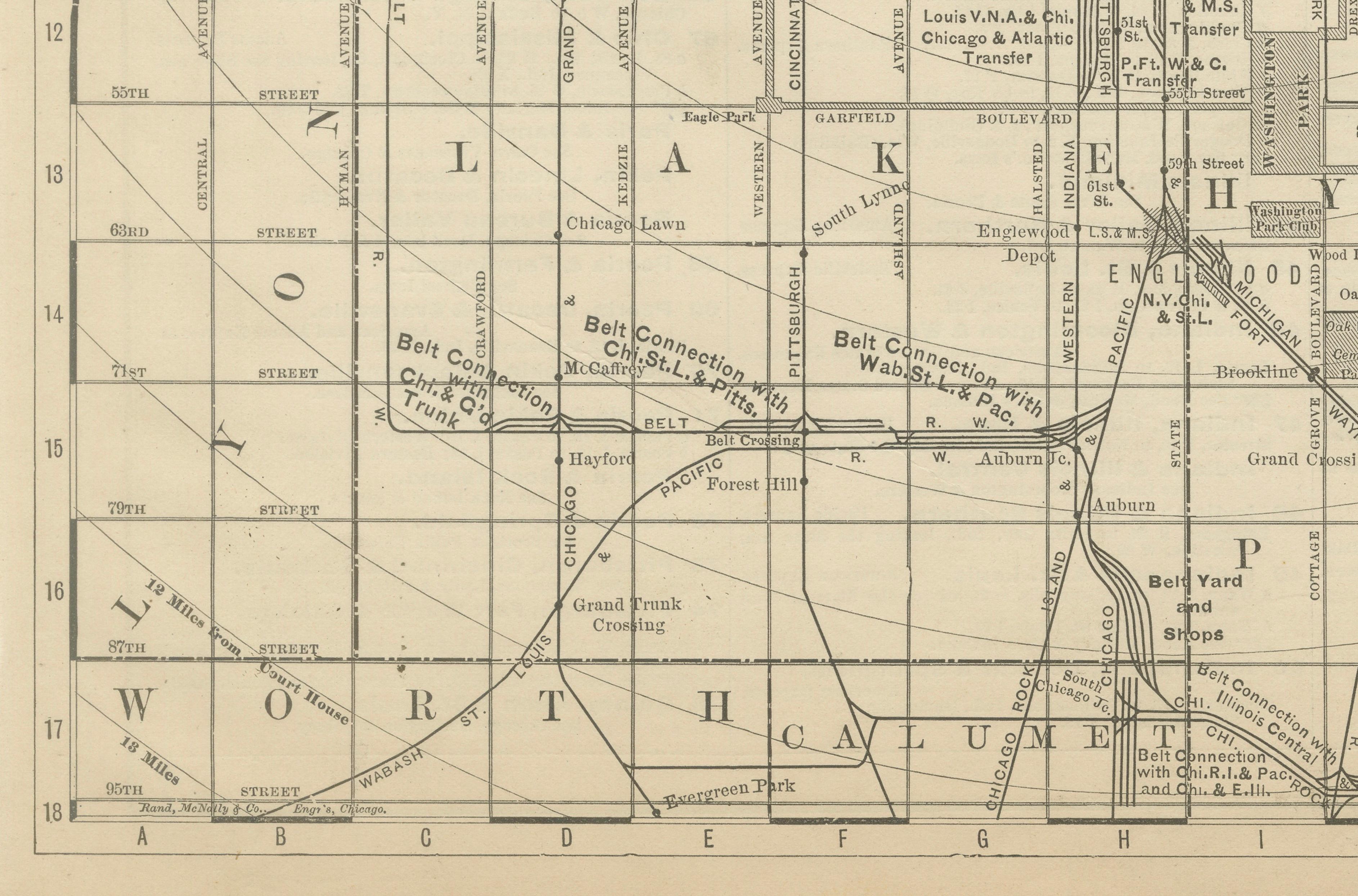
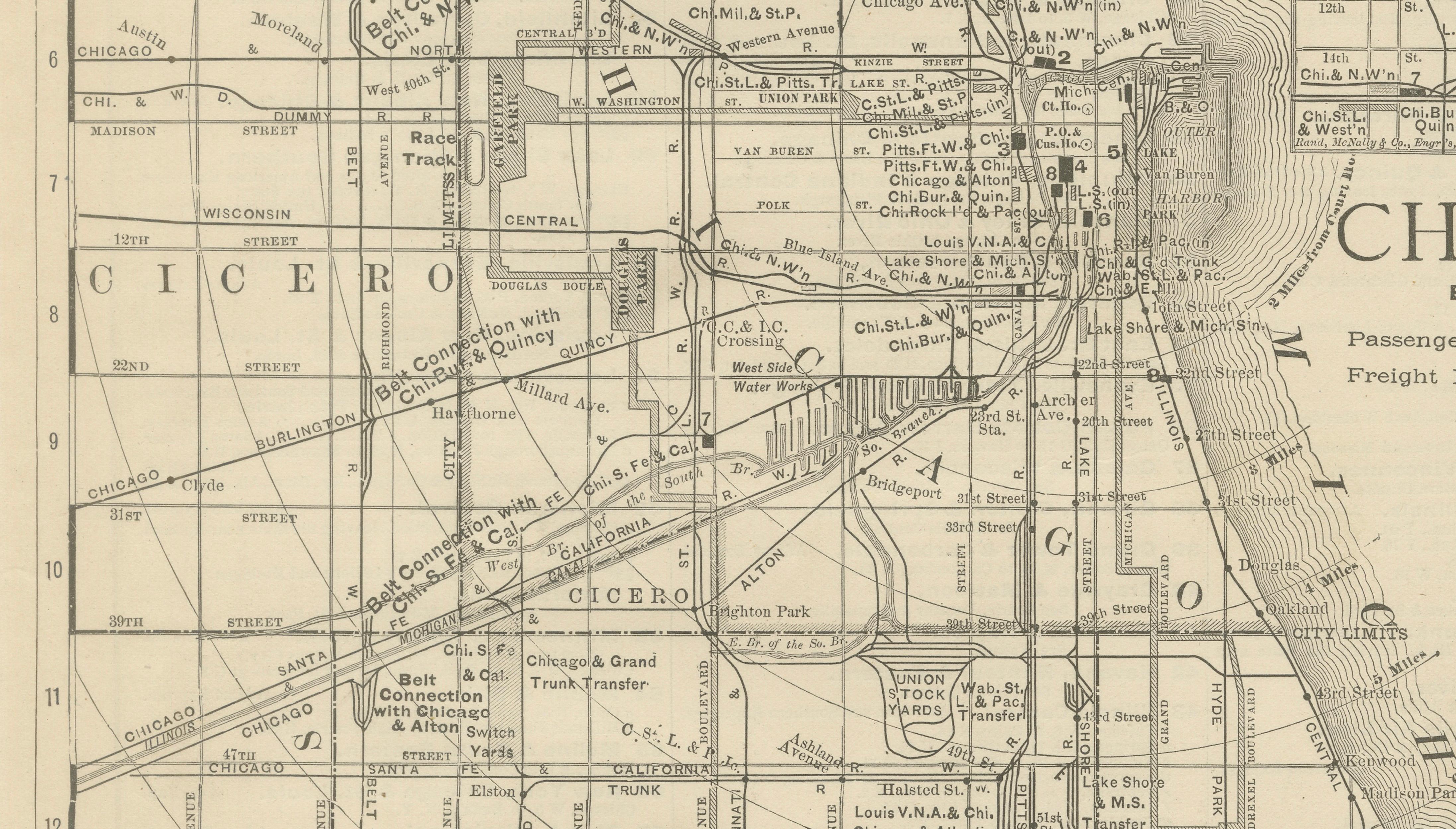
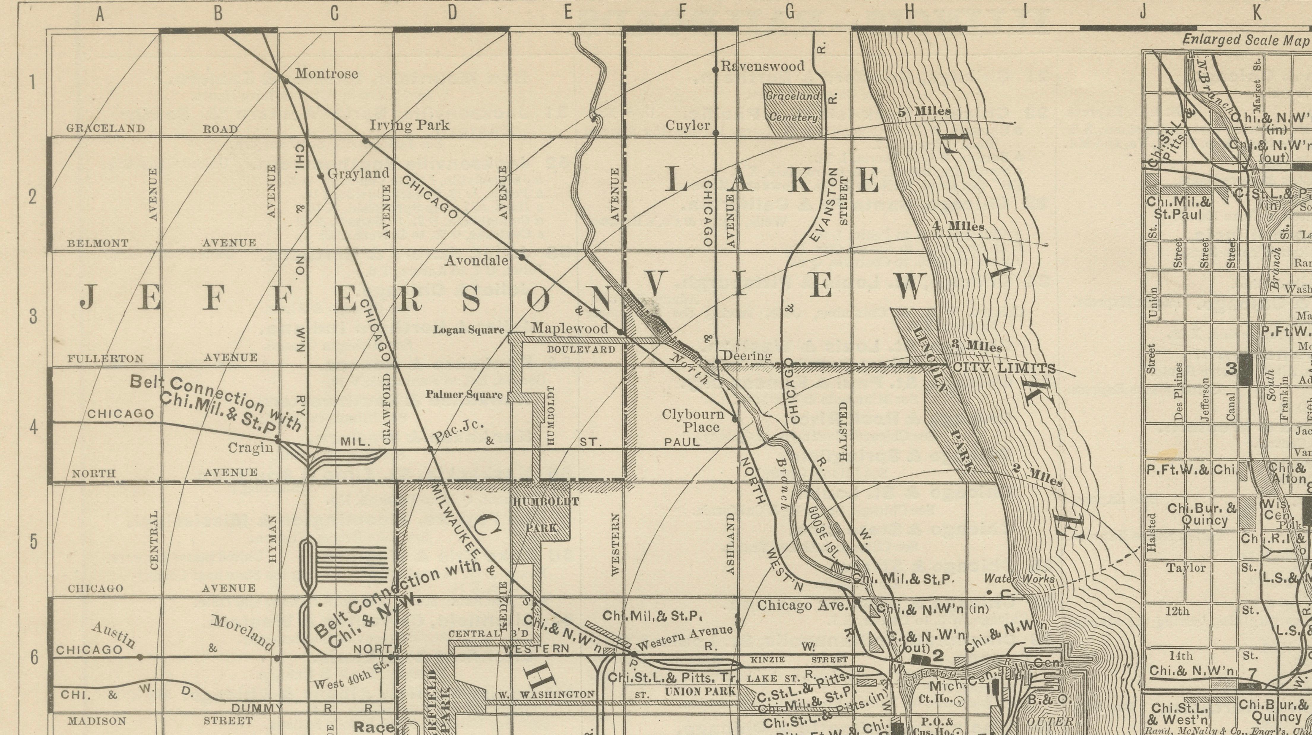
This original antique atlas map presents Chicago in remarkable urban detail, showing the city’s street grid, railroads, industrial zones, and waterfront along Lake Michigan. The dense network of rail lines, depots, and freight yards reveals Chicago at a moment of extraordinary growth, when it functioned as the central transportation hub of the American Midwest.
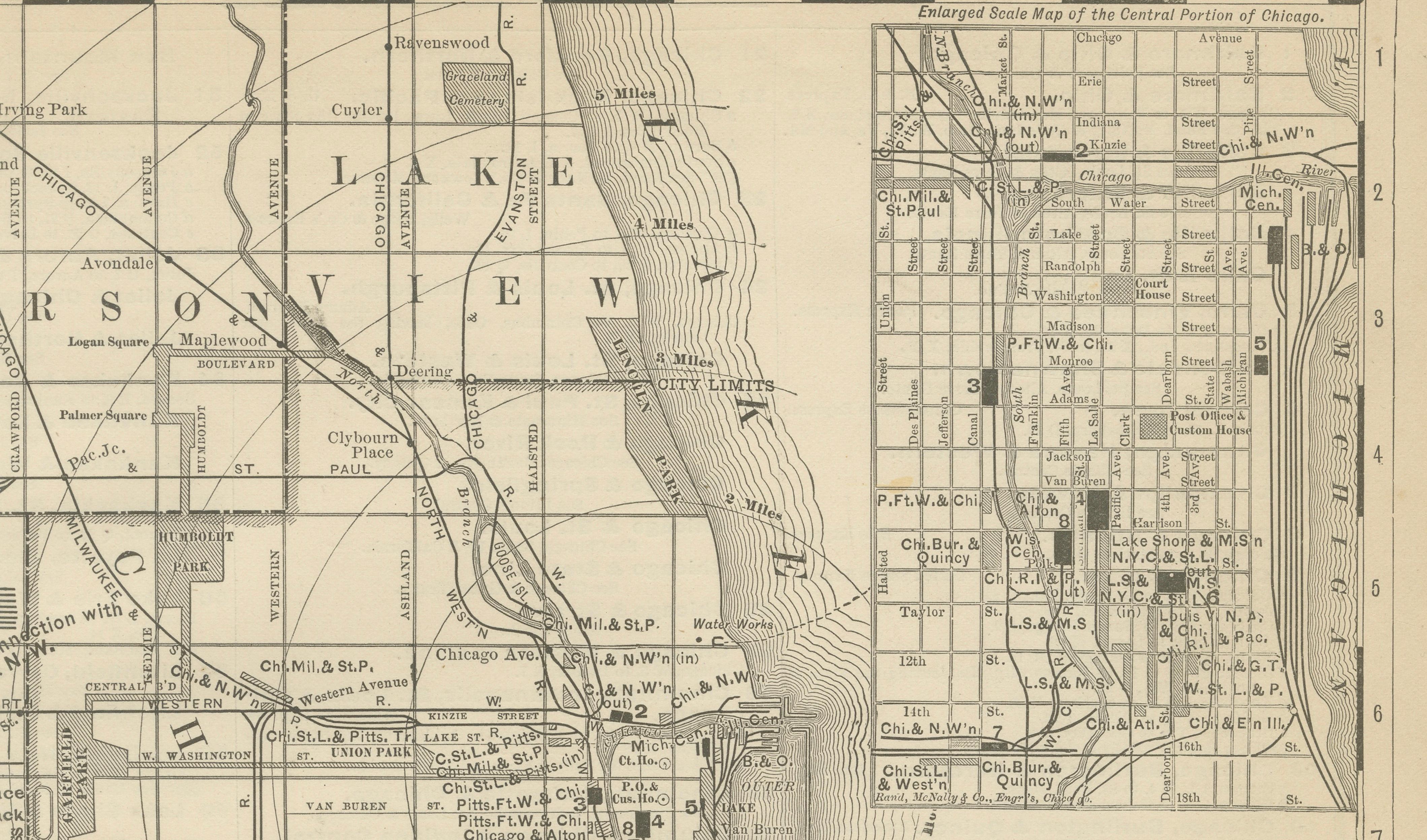
Published by Rand, McNally & Co. in the late 19th century, the map captures the city’s rapid expansion south and west, with neighborhoods such as Lake View, Lincoln Park, Hyde Park, Englewood, Cicero, and Lake Calumet clearly delineated. An inset map highlights the central portion of Chicago in even finer detail, emphasizing passenger and freight depots and reinforcing the city’s importance as a rail and commercial center.
The restrained monochrome palette and precise line work give the map a strong graphic presence that translates exceptionally well as wall art. Despite the density of information, the composition remains balanced and architectural, making it appealing not only to historians and collectors but also to interior designers and urban art enthusiasts.
Printed on original period atlas paper, the sheet retains the authentic surface texture and light patina characteristic of genuine 19th-century maps. Its tall vertical format makes it particularly effective for offices, studies, libraries, or city-themed interiors.
Condition report: Light age toning consistent with age. Minor edge wear and small handling marks from original atlas binding. Overall clean and well preserved.
Framing tips: Works especially well in black, dark walnut, or natural oak frames with an ivory or warm off-white mat. Museum glass recommended.
Technique: Lithograph
Maker: Rand, McNally & Co., United States, late 19th century
Keywords:
antique chicago map, chicago wall art, rand mcnally map, lake michigan map, historic chicago, railroad map chicago, antique city plan, lincoln park chicago map, hyde park chicago, englewood chicago, midwest urban map, architectural wall decor