Original antique · The actual sheet photographed · Certificate of authenticity on request · Sold unframed · Worldwide shipping from € 15 (rates)
Date
1847
Sheet size
23 × 28.5 cm (9.1 × 11.2 in)
Condition
Good
Reference
BG-12783-13
What the condition grades mean
Excellent
Bright and clean, with no faults worth mentioning.
Very good
Only light signs of age, such as faint toning.
Good
Normal signs of age for a sheet of this period: toning, some foxing, small marks or neat old repairs.
Fair
Clear faults such as staining, tears or repairs, priced to match.
Every fault we see is written in the condition note, and the whole sheet is shown uncropped in the photos.
Condition
General age-related toning, original folding line. Minor wear, blank verso. Please review the images for further condition details.
About this sheet
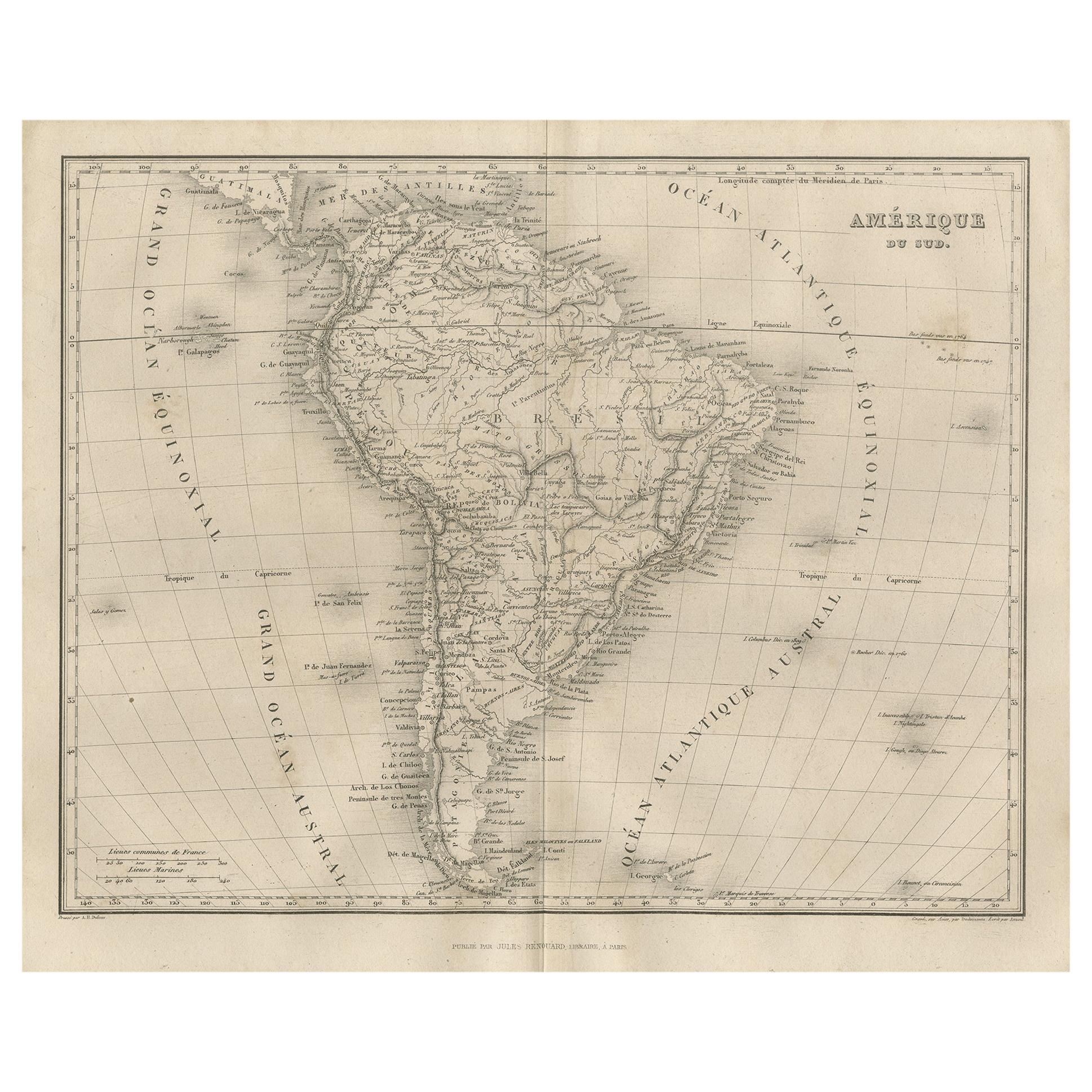
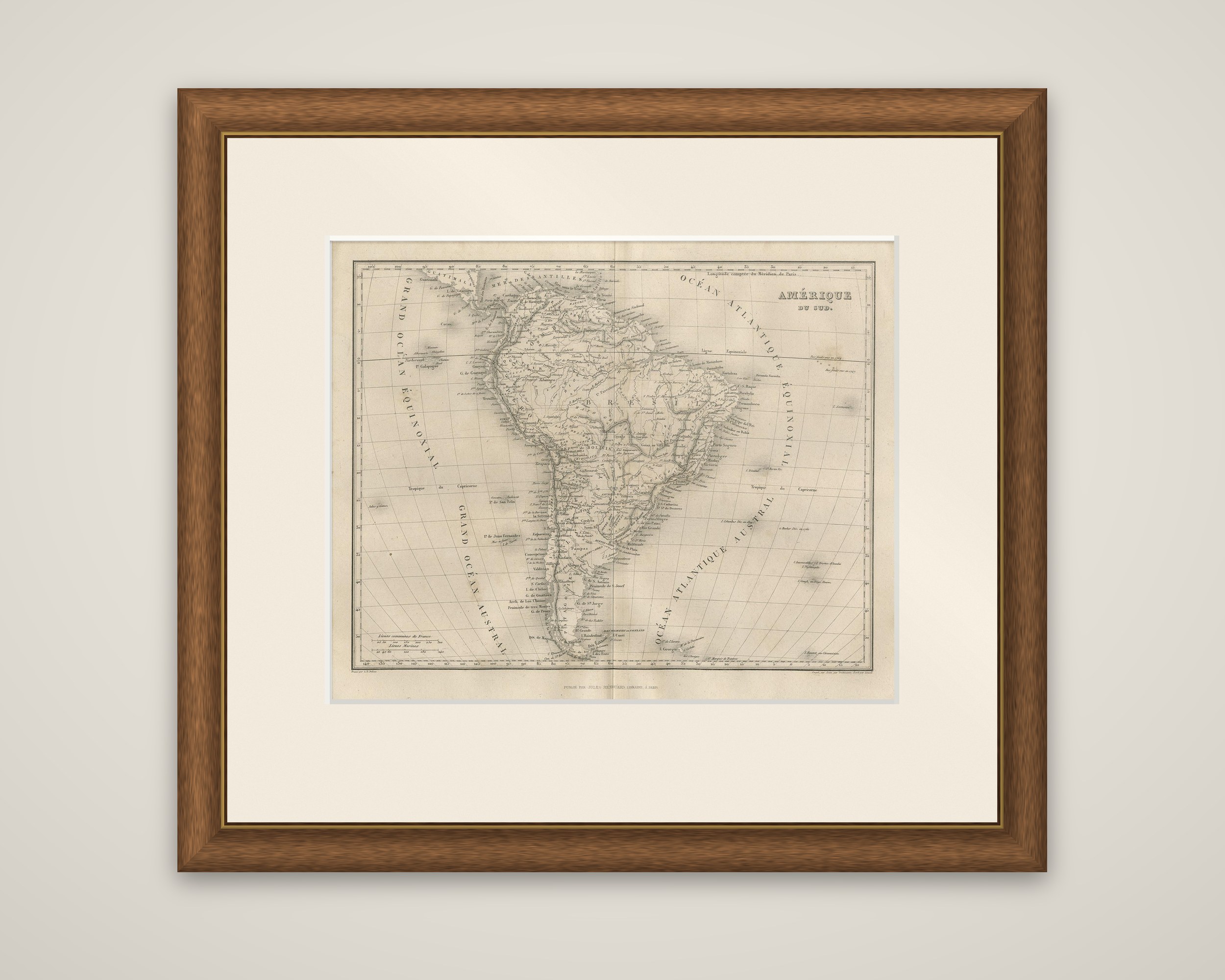
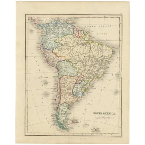
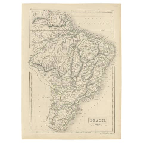
A map of South America from Adrien Balbi's Abrege de Geographie, published in Paris by Jules Renouard in 1847. The sheet is an original steel engraving printed in black, and the title "Amerique du Sud" appears at the upper right in a block of capitals.
The map shows the continent from the Caribbean coast to Cape Horn, with the countries labeled in French, among them Colombie, Perou, Bolivie, Chili, Bresil and the Plata region, and the Andes, the Amazon and the other great rivers drawn in detail. Large ocean lettering runs across the margins: "Ocean Atlantique Equinoxial" and "Ocean Atlantique Austral" on the east, "Grand Ocean Equinoxial" and "Grand Ocean Austral" on the west. The Galapagos, the Juan Fernandez islands and the Falklands are shown, and the Tropic of Capricorn and the French league scale appear. Longitude is counted from the meridian of Paris.
Balbi's geography was a successful French textbook that went through many editions.