Original antique · The actual sheet photographed · Certificate of authenticity on request · Sold unframed · Worldwide shipping from € 15 (rates)
Date
1845
Sheet size
36 × 26 cm (14.2 × 10.2 in)
Condition
Good
Reference
BG-12894-43
What the condition grades mean
Excellent
Bright and clean, with no faults worth mentioning.
Very good
Only light signs of age, such as faint toning.
Good
Normal signs of age for a sheet of this period: toning, some foxing, small marks or neat old repairs.
Fair
Clear faults such as staining, tears or repairs, priced to match.
Every fault we see is written in the condition note, and the whole sheet is shown uncropped in the photos.
Condition
General age-related toning. Minor wear, light staining. Blank verso. Please review the images for further condition details.
About this sheet
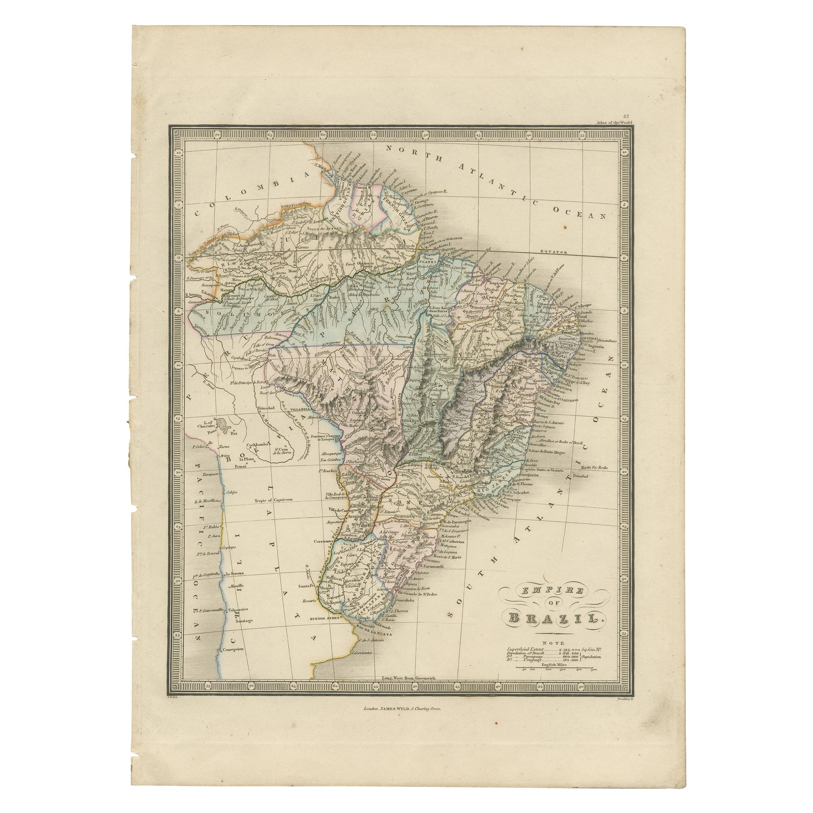
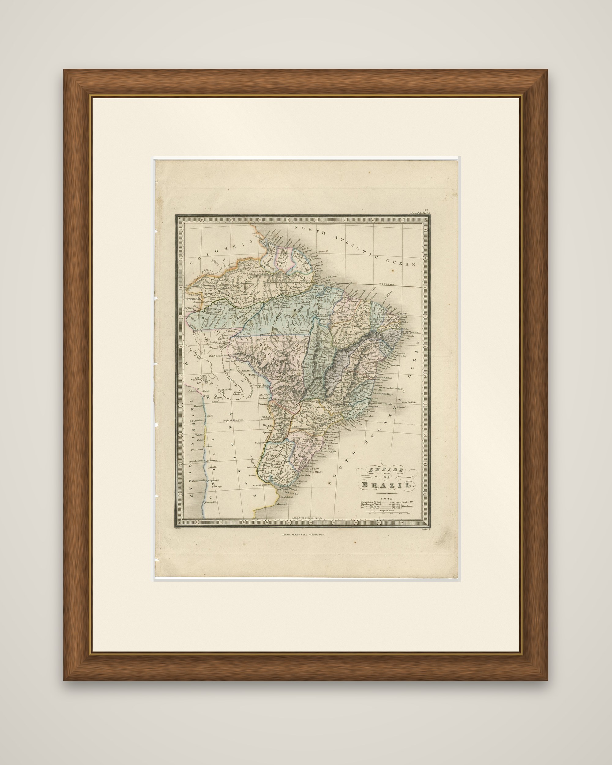
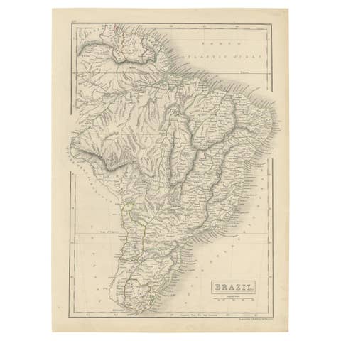
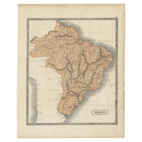
A map of the Empire of Brazil from James Wyld's An Atlas of the World, published in London in 1845. The sheet is an original copper engraving with hand-colored outlines, within a graduated border. The title "Empire of Brazil" is set at the lower right beside a note giving the superficial area and population of Brazil, Paraguay and Uruguay, and a scale in English miles.
The map shows the huge country divided into its provinces in different colors, with the Amazon and its tributaries across the north, the highlands of the interior drawn in hachures, and the long Atlantic coast lined with the names of ports and towns. To the south are the La Plata estuary and the neighboring republics, and to the west the Pacific coast of Peru and Chile appears at the edge. Colombia and the Guianas are lettered along the northern margin. The imprint of James Wyld, Charing Cross, runs along the foot.
In 1845 Brazil was an independent empire ruled by Pedro II.