Antique Map of South America by Dower, ‘circa 1845’
€ 150
Original antique · The actual sheet photographed · Certificate of authenticity on request · Sold unframed · Worldwide shipping from € 15 (rates)
Date
1845
Sheet size
30.5 × 24 cm (12.0 × 9.4 in)
Condition
Good
Reference
BG-03464
What the condition grades mean
Excellent
Bright and clean, with no faults worth mentioning.
Very good
Only light signs of age, such as faint toning.
Good
Normal signs of age for a sheet of this period: toning, some foxing, small marks or neat old repairs.
Fair
Clear faults such as staining, tears or repairs, priced to match.
Every fault we see is written in the condition note, and the whole sheet is shown uncropped in the photos.
Condition
General age-related toning, minor defects. Please review the images for further condition details.
About this sheet
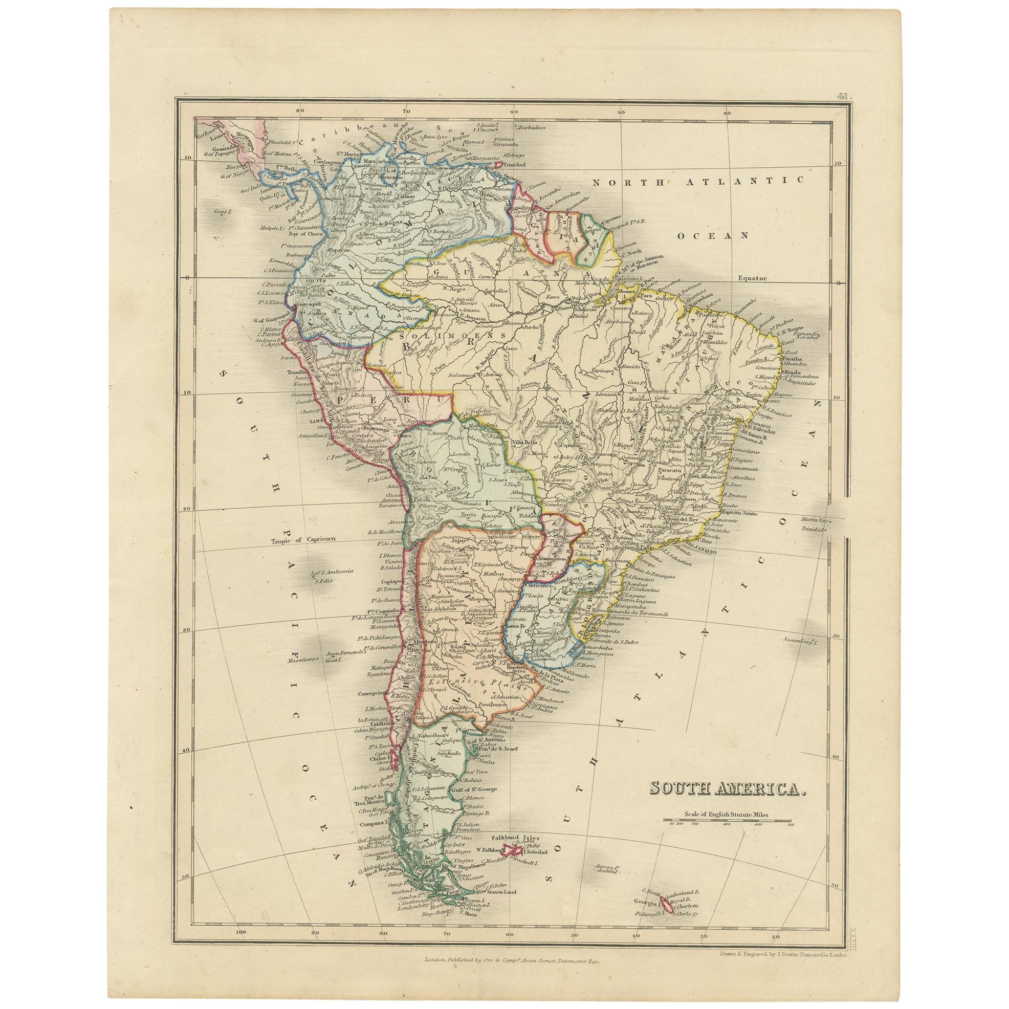
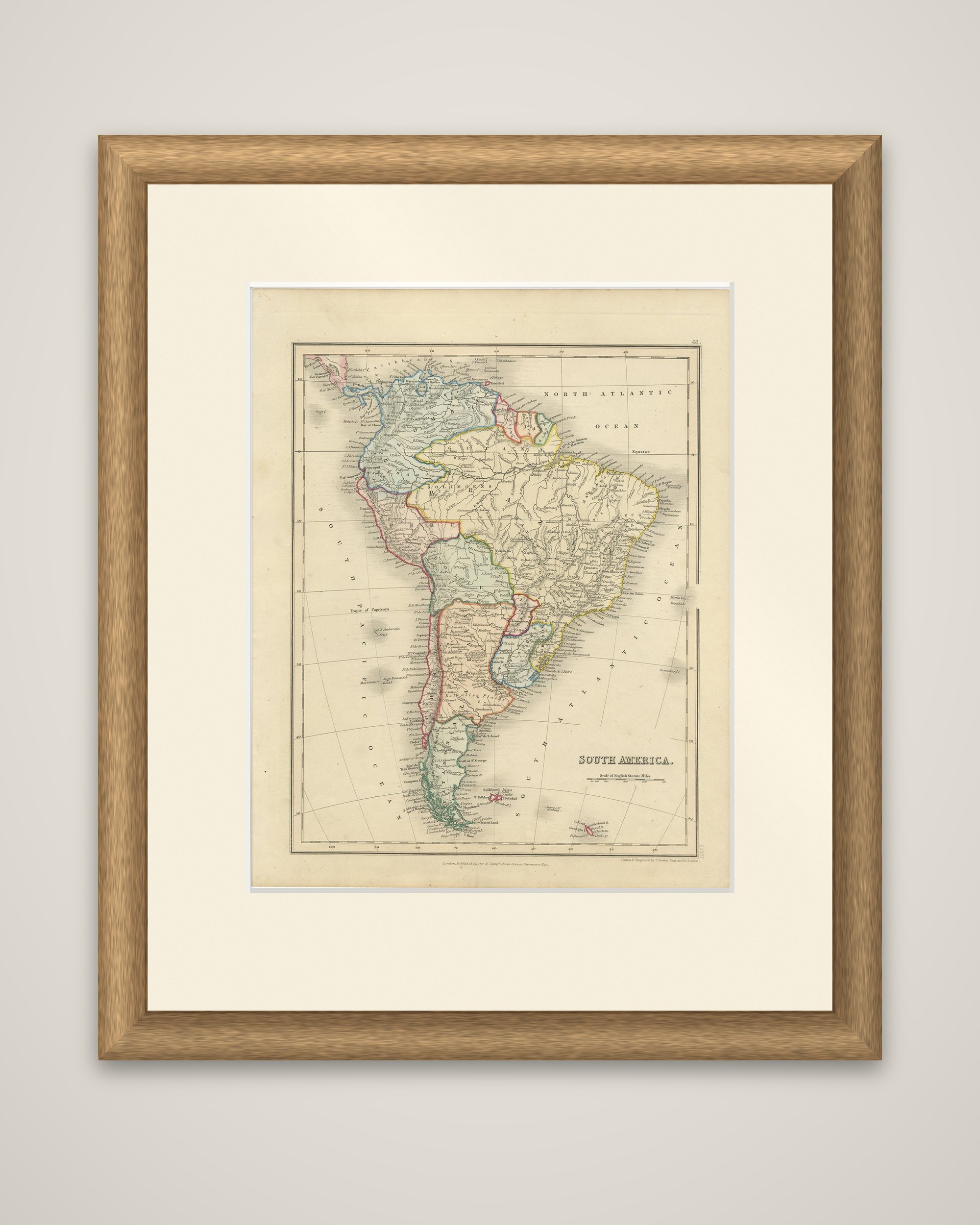
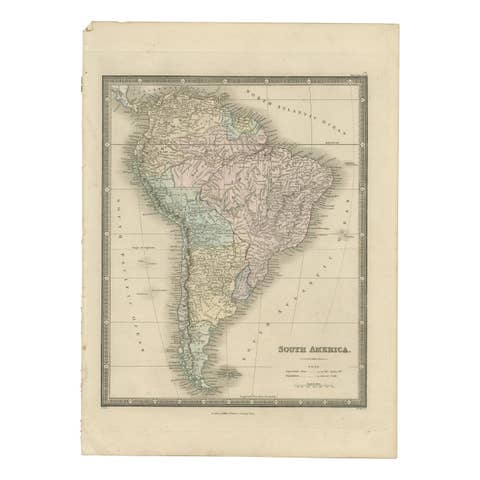
South America on a London atlas sheet by the engraver J. Dower, circa 1845, "Drawn & Engraved by J. Dower, Pentonville" and published in London by Orr & Co., Amen Corner, Paternoster Row. The title "South America" appears in the lower right with a scale of English statute miles. It is an engraved map with outline color.
The map shows the whole continent, with the borders of Colombia, Venezuela, the Guianas, Brazil, Peru, Bolivia, Chile, Paraguay, Uruguay, the Argentine provinces and Patagonia each tinted in a separate color. Rivers, particularly the Amazon, the Orinoco and the Plata system, and the long chain of the Andes are drawn in fine detail, with the coasts densely lettered with ports and headlands. The Falkland Islands appear at the foot, and South Georgia at the lower right, with the Tropic of Capricorn lettered across the center left.
Atlas sheets of this kind, issued by Orr & Co. and other London houses of the 1840s, showed the new South American republics some decades after the independence of Spain's American colonies.