About this sheet
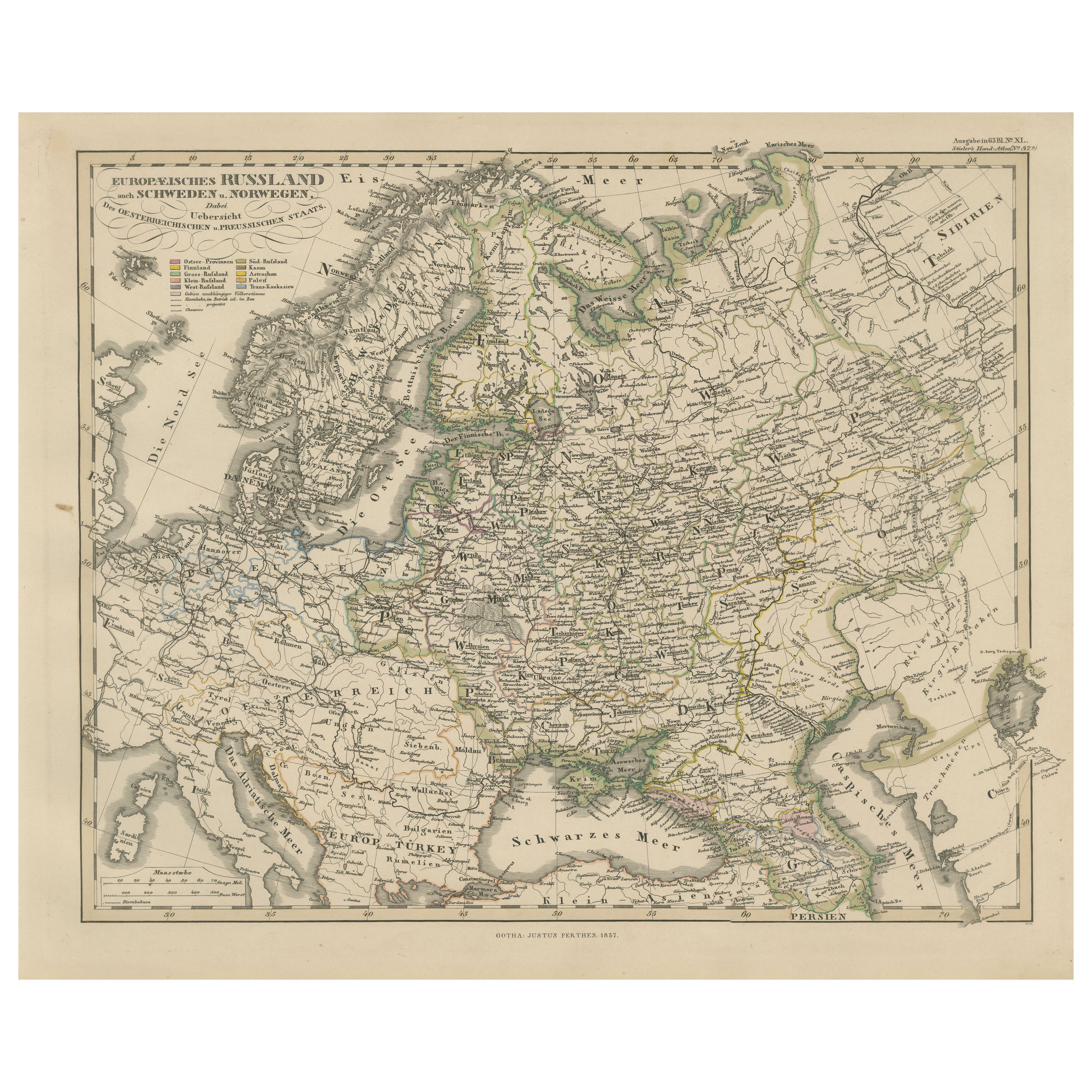
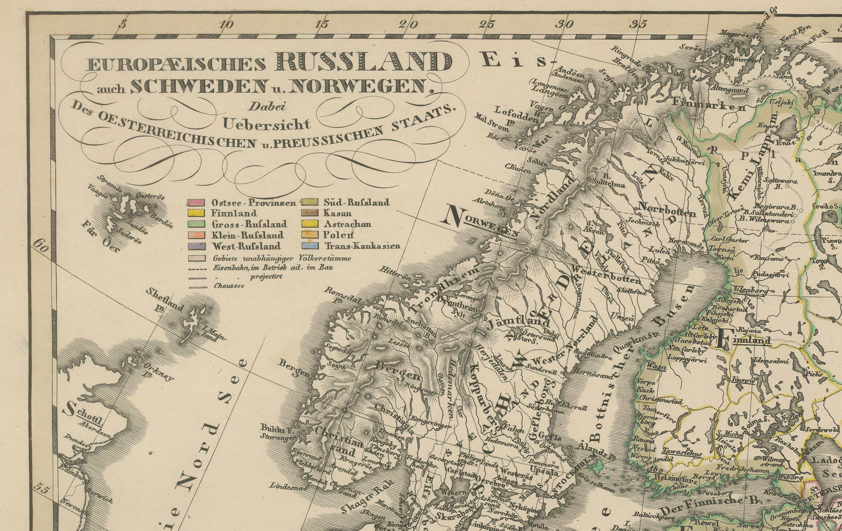
Antique Map of European Russia Including Scandinavia – Stieler Atlas 1857
This antique map titled "Europäisches Russland nebst Schweden und Norwegen" (European Russia together with Sweden and Norway) was published in 1857 by Justus Perthes in Gotha, Germany, for the Stieler’s Hand-Atlas. Drawn and engraved under the direction of F. von Stülpnagel, this map offers a comprehensive view of Northern and Eastern Europe during the mid-19th century.
The map covers an expansive region from Scandinavia in the northwest to the Ural Mountains in the east, and from the Arctic Ocean in the north to the Black Sea and Balkans in the south. It highlights the extent of the Russian Empire within Europe, as well as neighboring countries including Sweden, Norway, Finland, Poland, the Baltic states, Austria-Hungary, the Ottoman Empire, and parts of Germany and Central Europe.
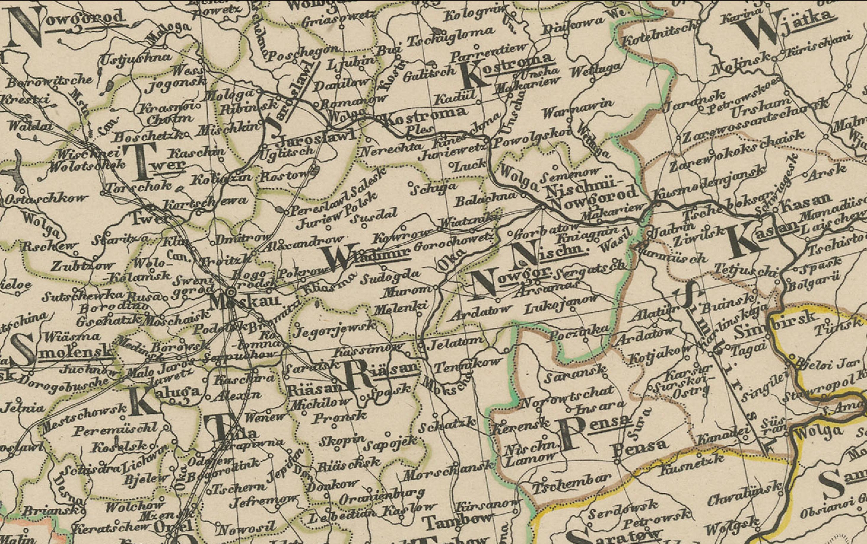
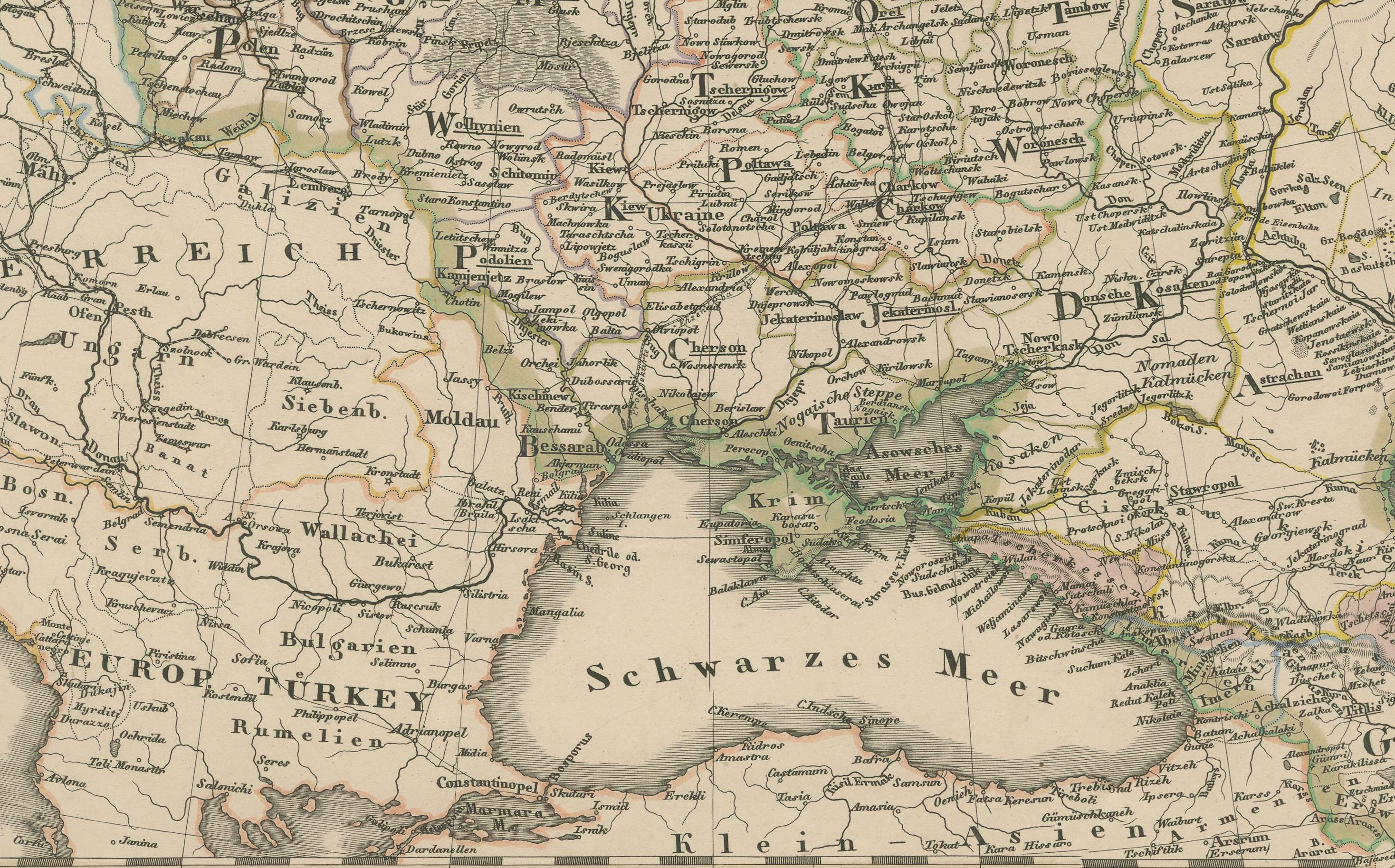
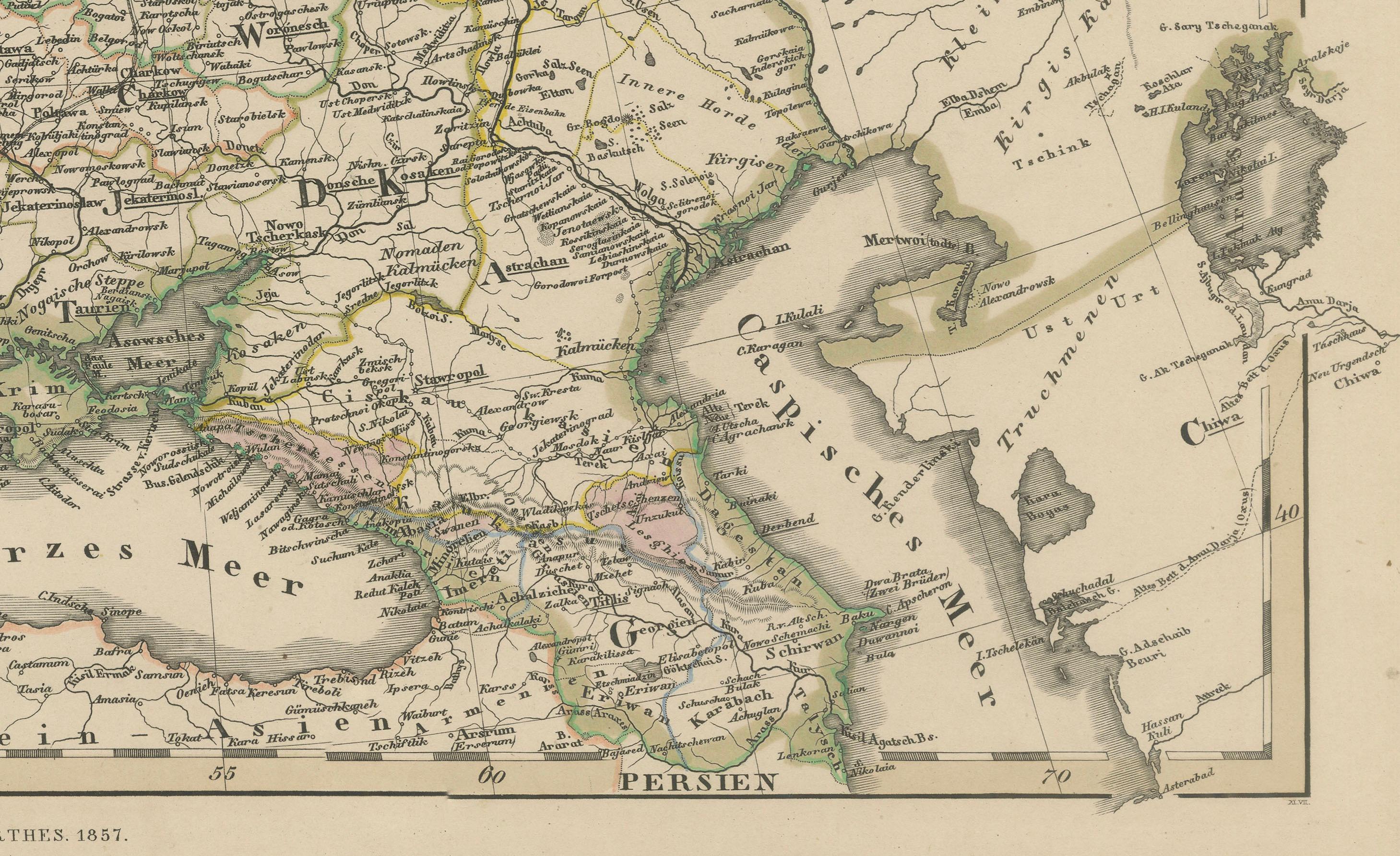
Key cities such as St. Petersburg, Moscow, Warsaw, Riga, and Kiev are clearly labeled, along with major rivers including the Volga, Dnieper, and Don. Mountain ranges, railway lines, and political boundaries are finely engraved and enhanced with original hand coloring. The map also distinguishes between various Russian administrative divisions such as governments (Gouvernements) and includes a legend identifying capitals, fortresses, and religious centers.
This map reflects the political and territorial organization of Eastern Europe before the major upheavals of the late 19th and 20th centuries. It serves as an important reference for understanding historical borders, migration patterns, and regional influences of the Russian Empire during a period of growing expansion and modernization.
Collectors, historians, and map enthusiasts will appreciate the detailed craftsmanship, historical value, and aesthetic appeal of this finely produced example of 19th-century cartography.
Condition report:
Very good condition. Slight toning to edges consistent with age. Vertical centerfold as issued. No major tears or foxing. Hand coloring remains vivid and attractive.
Framing tips:
This map would display beautifully in a classic black or gold frame with a neutral mat. For a traditional setting, pair it with other European or Russian-themed antique maps from the same period.
Technique: Engraving with original hand coloring
Maker: F. von Stülpnagel, Gotha, Justus Perthes, 1857