About this sheet
Antique Map of Western New York – Rand McNally, circa 1888
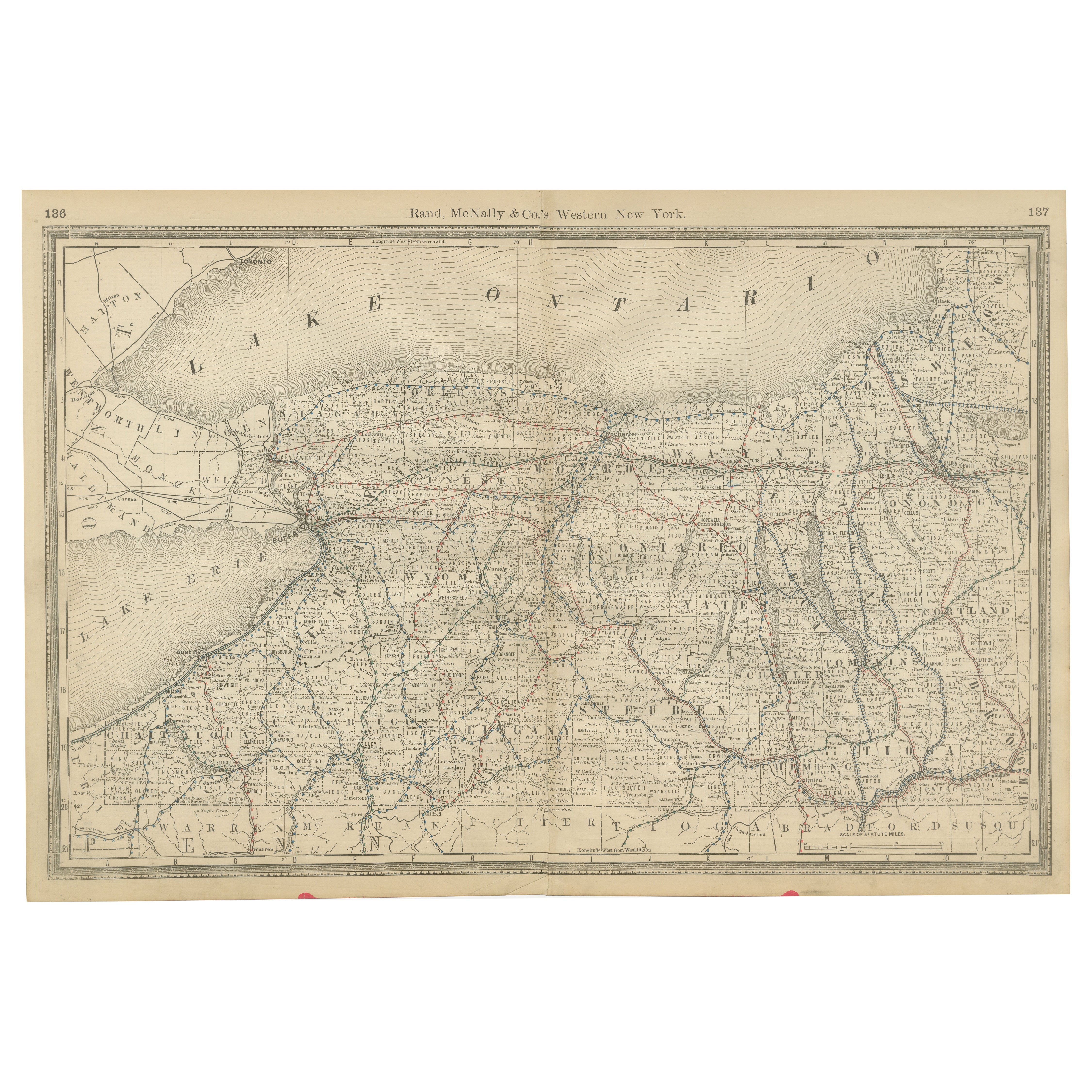
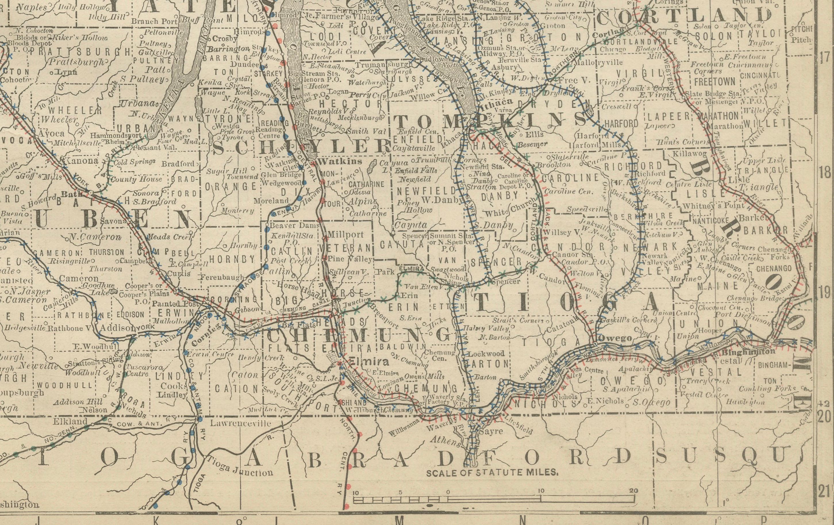
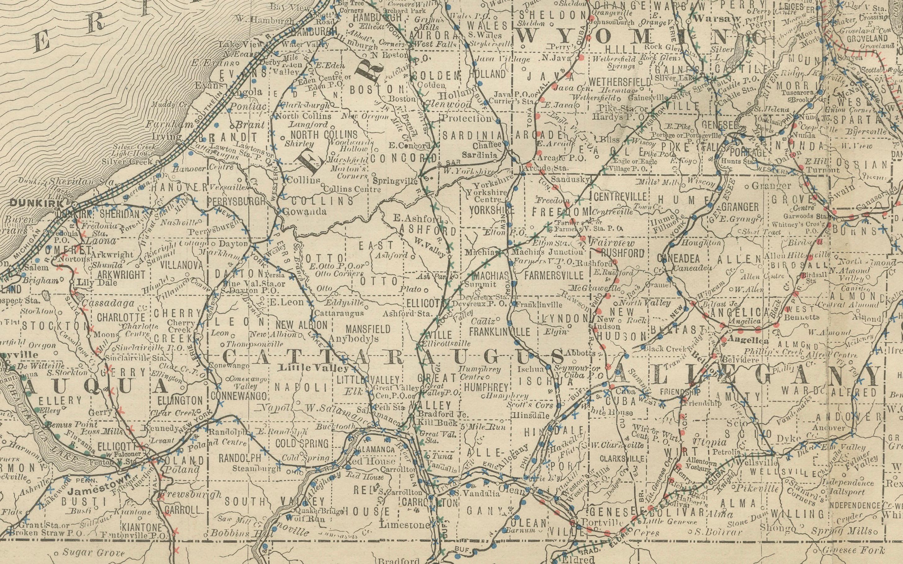
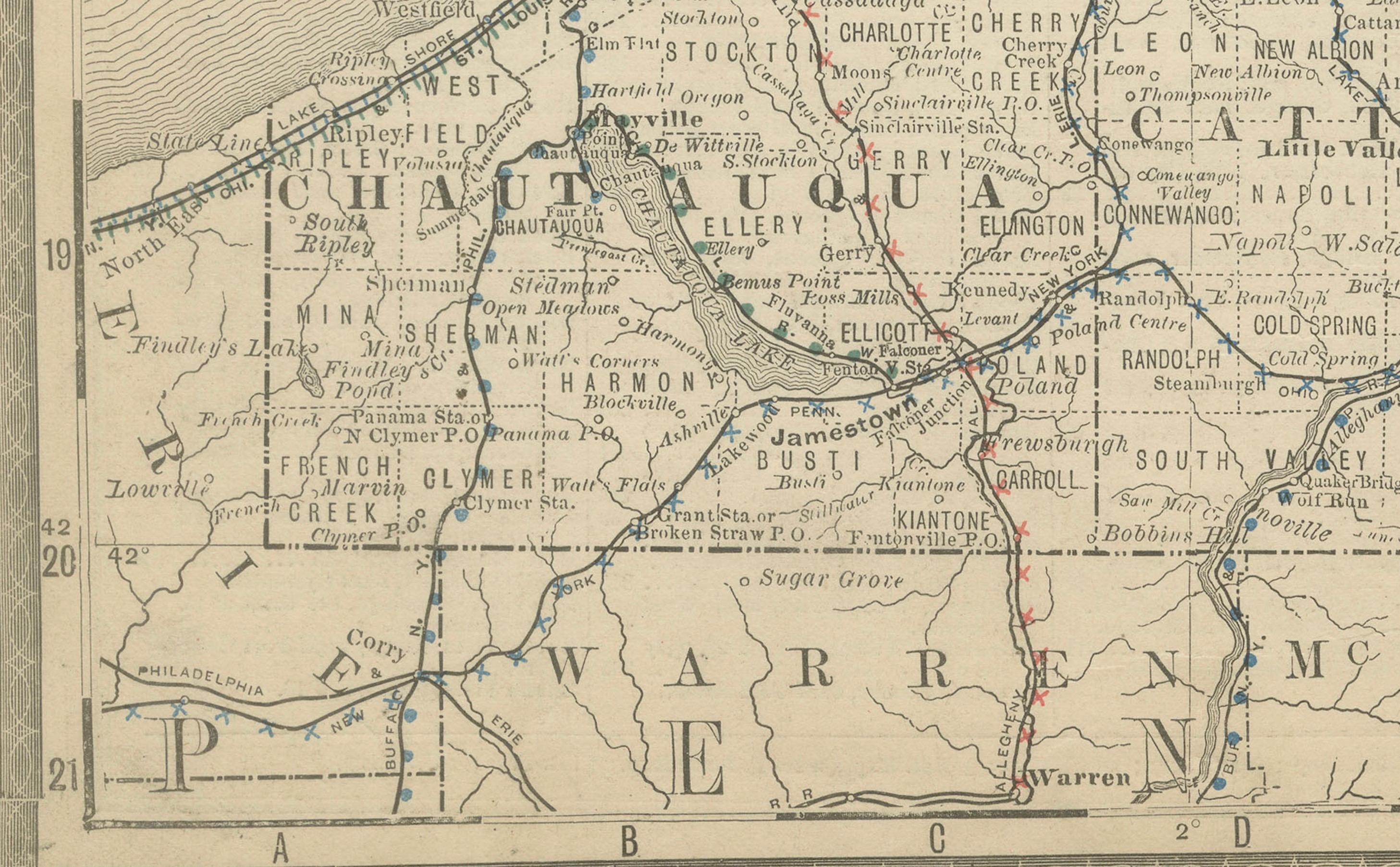
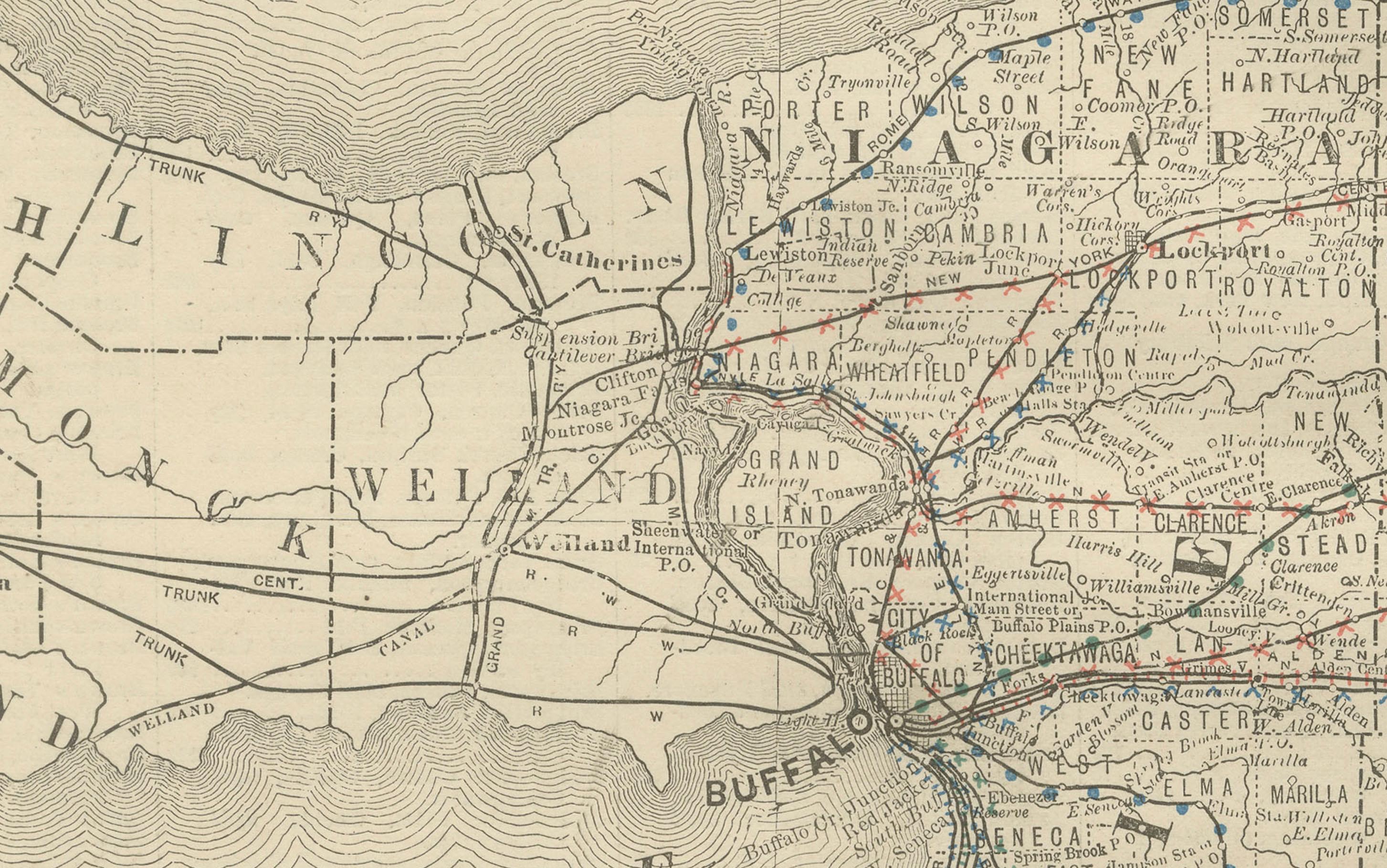
This antique map of western New York was published by Rand, McNally & Co. around 1888. It presents a detailed view of the region stretching from Lake Erie to Lake Ontario, including Buffalo, Rochester, the Finger Lakes, and the state’s northwestern counties.
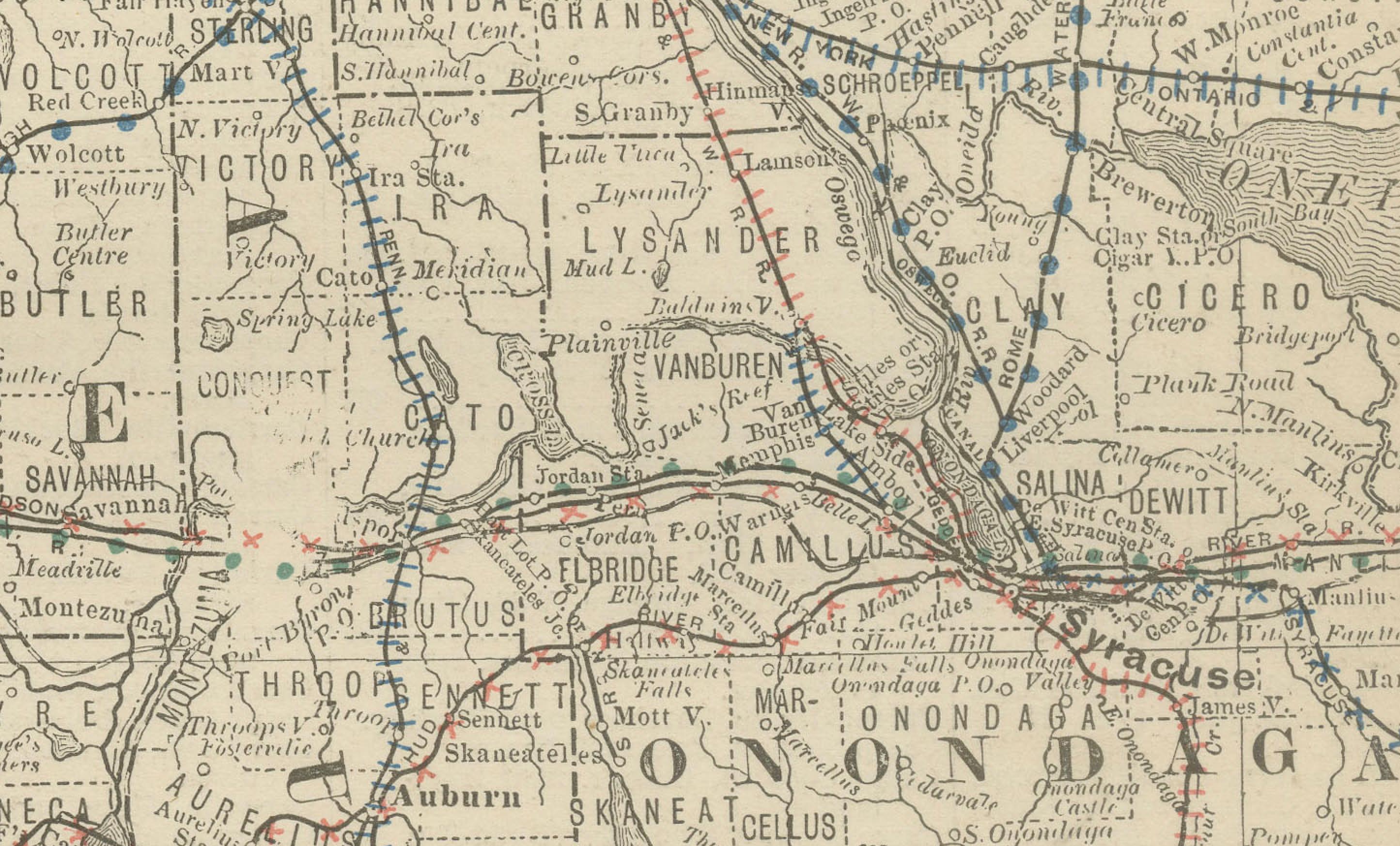
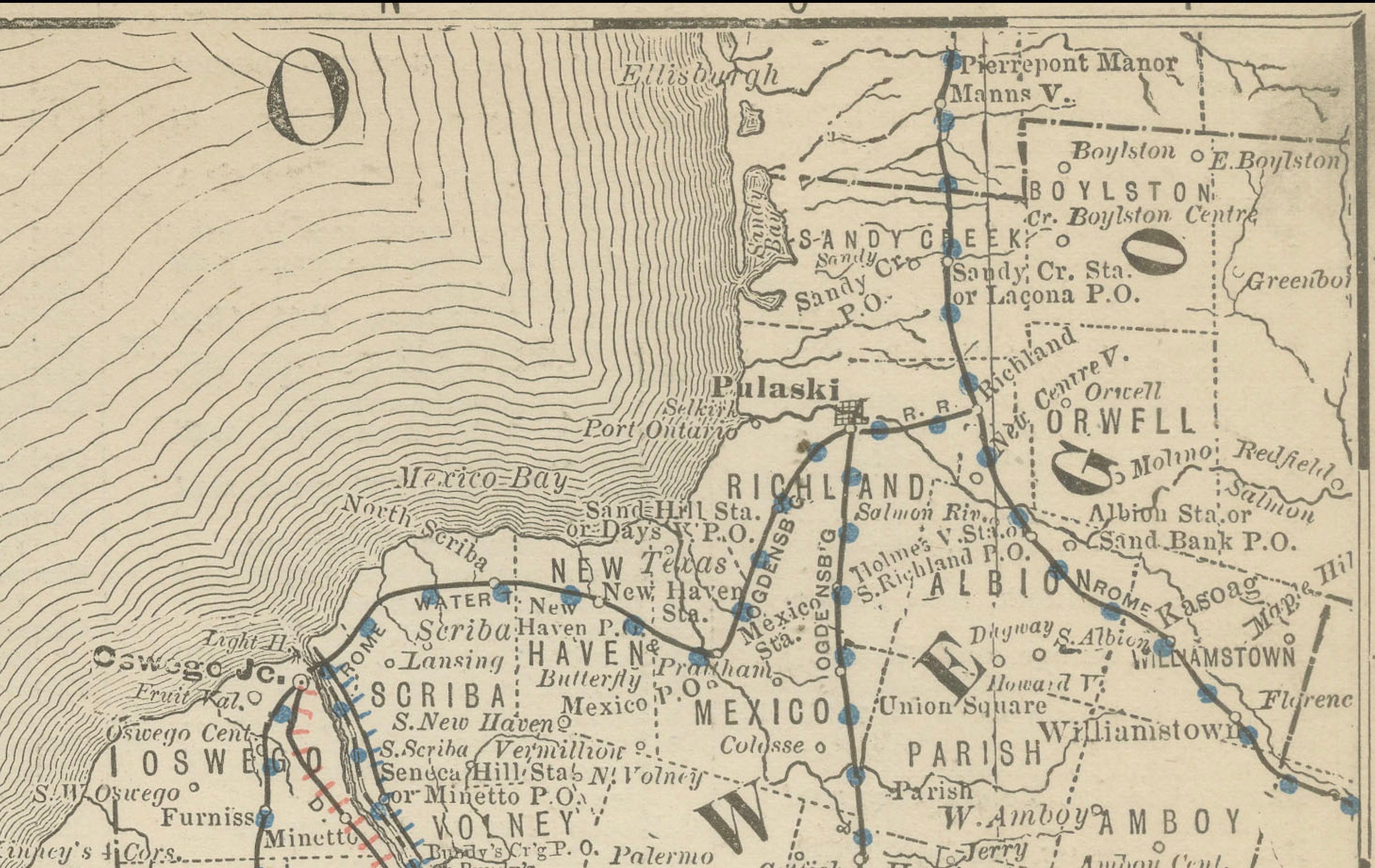
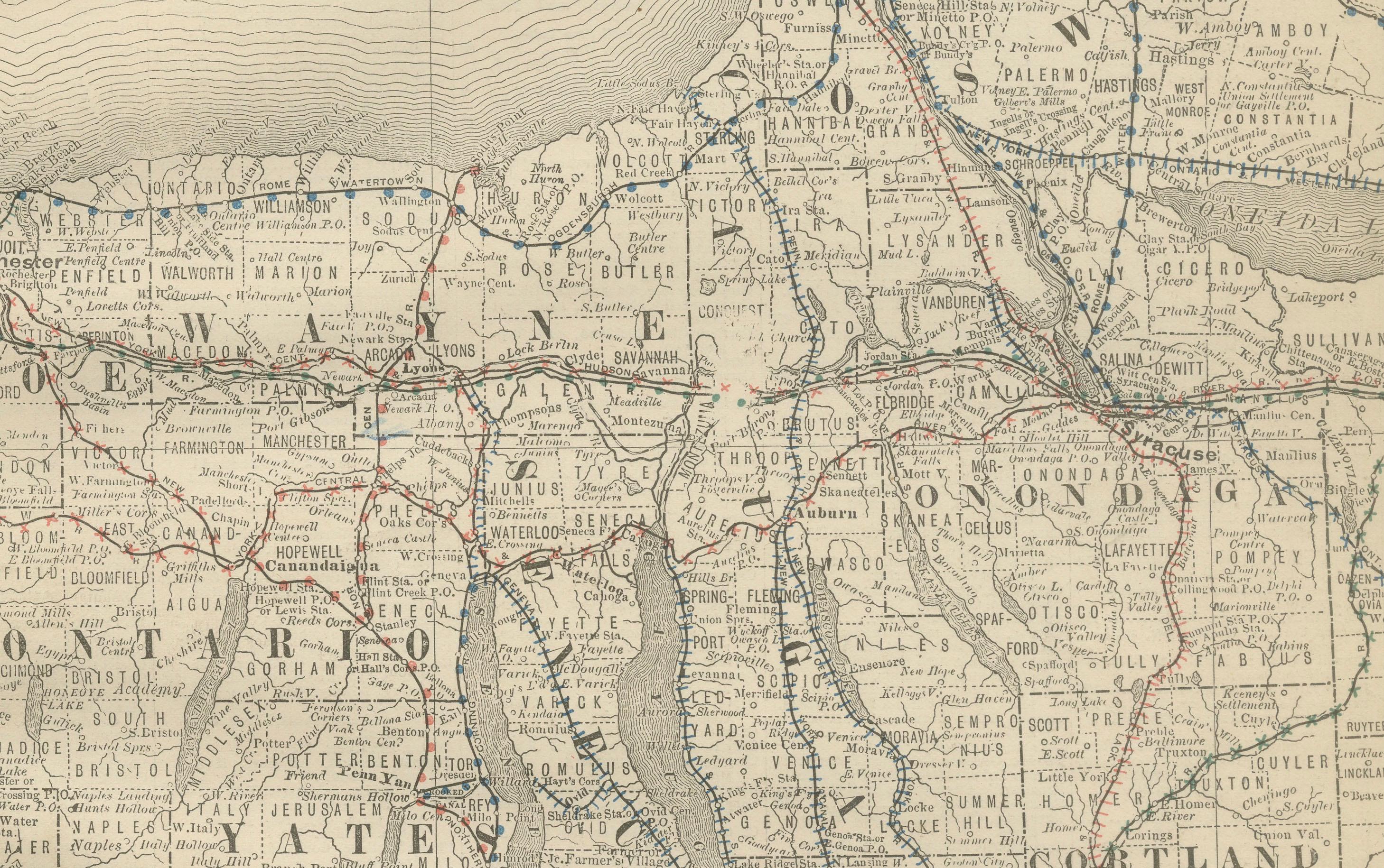
The map highlights the counties of Erie, Niagara, Monroe, Ontario, Seneca, Tompkins, and surrounding areas. Major cities such as Buffalo and Rochester are marked prominently, alongside smaller towns and villages that developed rapidly with the rise of industry and transportation in the late 19th century. The Erie Canal region, Finger Lakes, and Niagara frontier are all clearly depicted.
Railroads are shown in red and blue lines, emphasizing the dense network of connections that linked the Great Lakes to the interior of New York and beyond. The waterways of Lake Erie, Lake Ontario, and the Finger Lakes are finely engraved, underscoring the importance of this region as both an industrial hub and a natural transportation corridor.
Rand McNally’s characteristic clarity and precision make this a valuable record of Western New York during the Gilded Age, reflecting its role in shipping, manufacturing, and trade. Collectors of New York history, Great Lakes cartography, or industrial America will find this map particularly appealing.
Condition report:
Good condition with even age toning and light wear along the original center fold. Plate mark visible. Margins clean with only minor handling marks. Strong impression with excellent engraved detail.
Framing tips:
This map displays well in a dark oak or walnut frame with a cream or ivory mat. A double mat with ivory outer and muted blue inner will emphasize the lakes and waterways, creating a balanced and decorative presentation.
Technique: Lithograph with original outline color
Maker: Rand, McNally & Co., Chicago, circa 1888