About this sheet
Antique Map of Northwestern Pennsylvania – Rand McNally, circa 1888
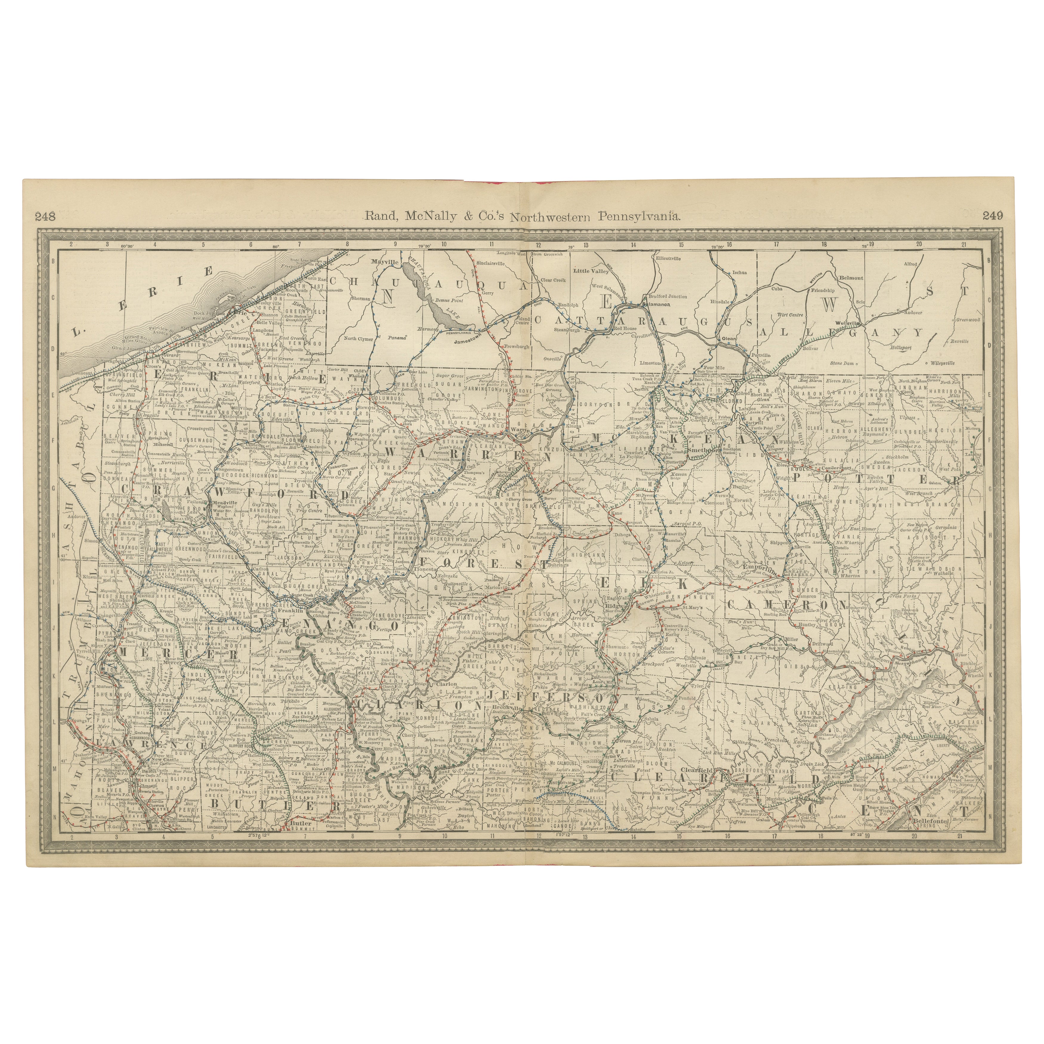
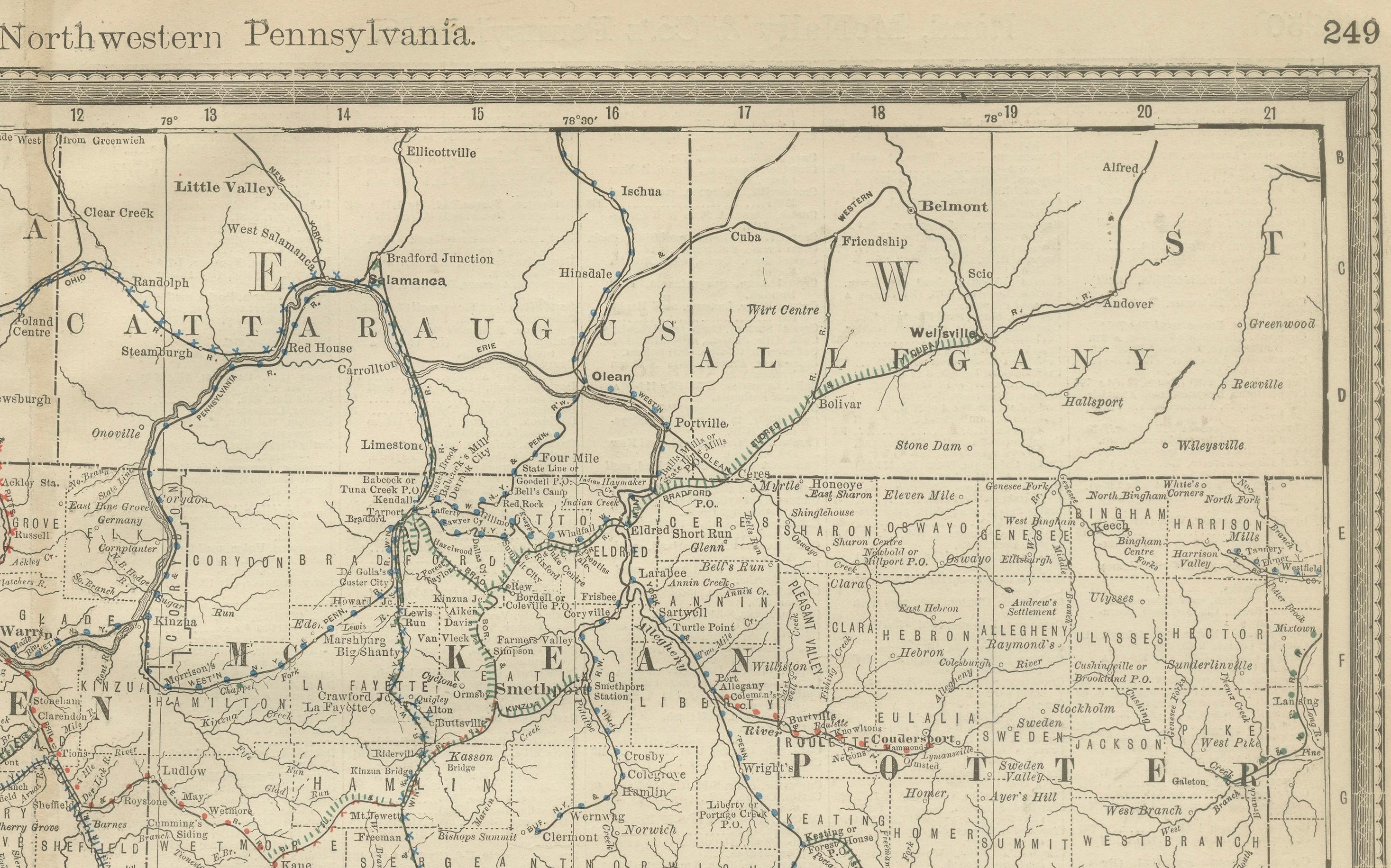
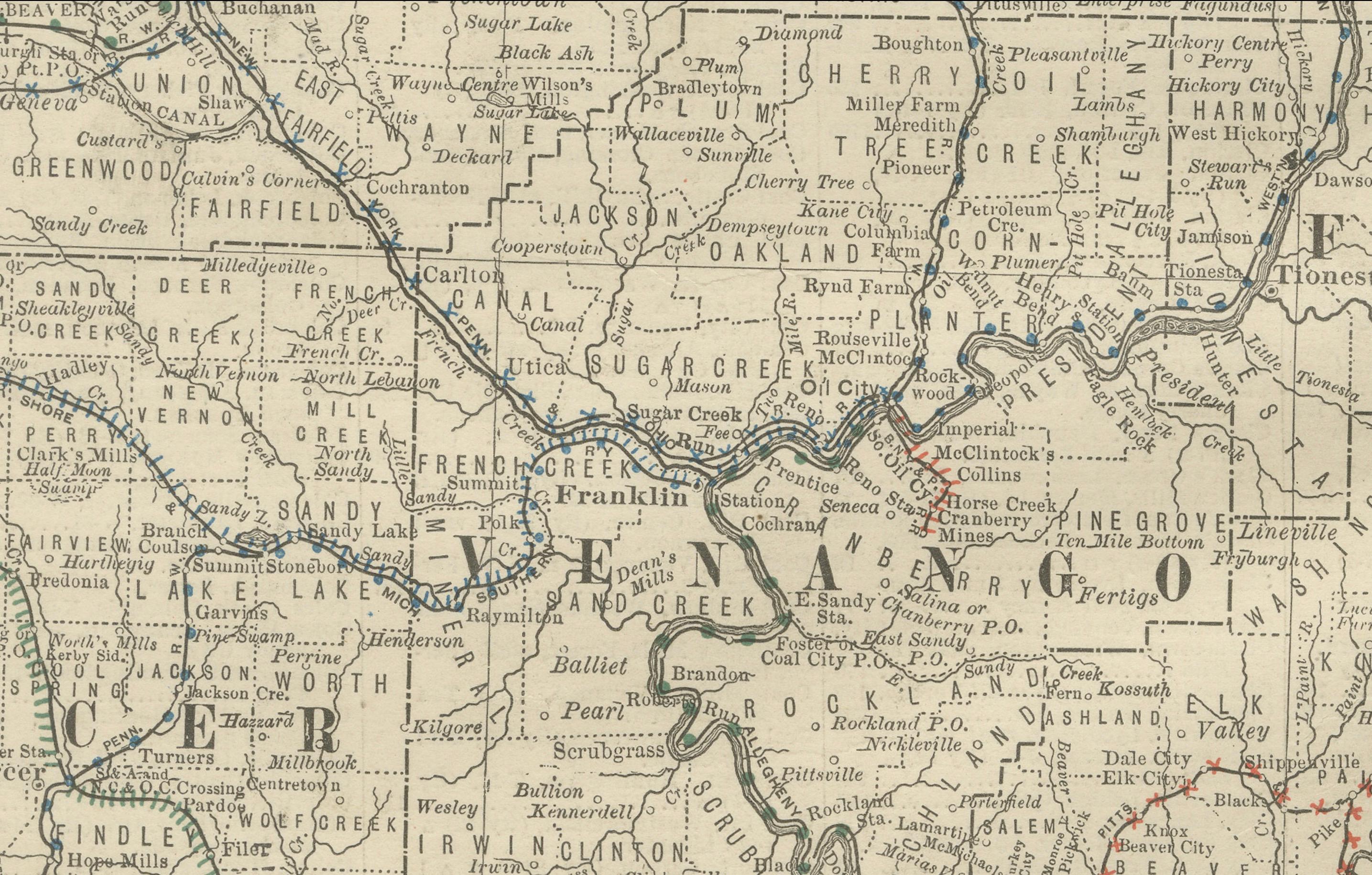
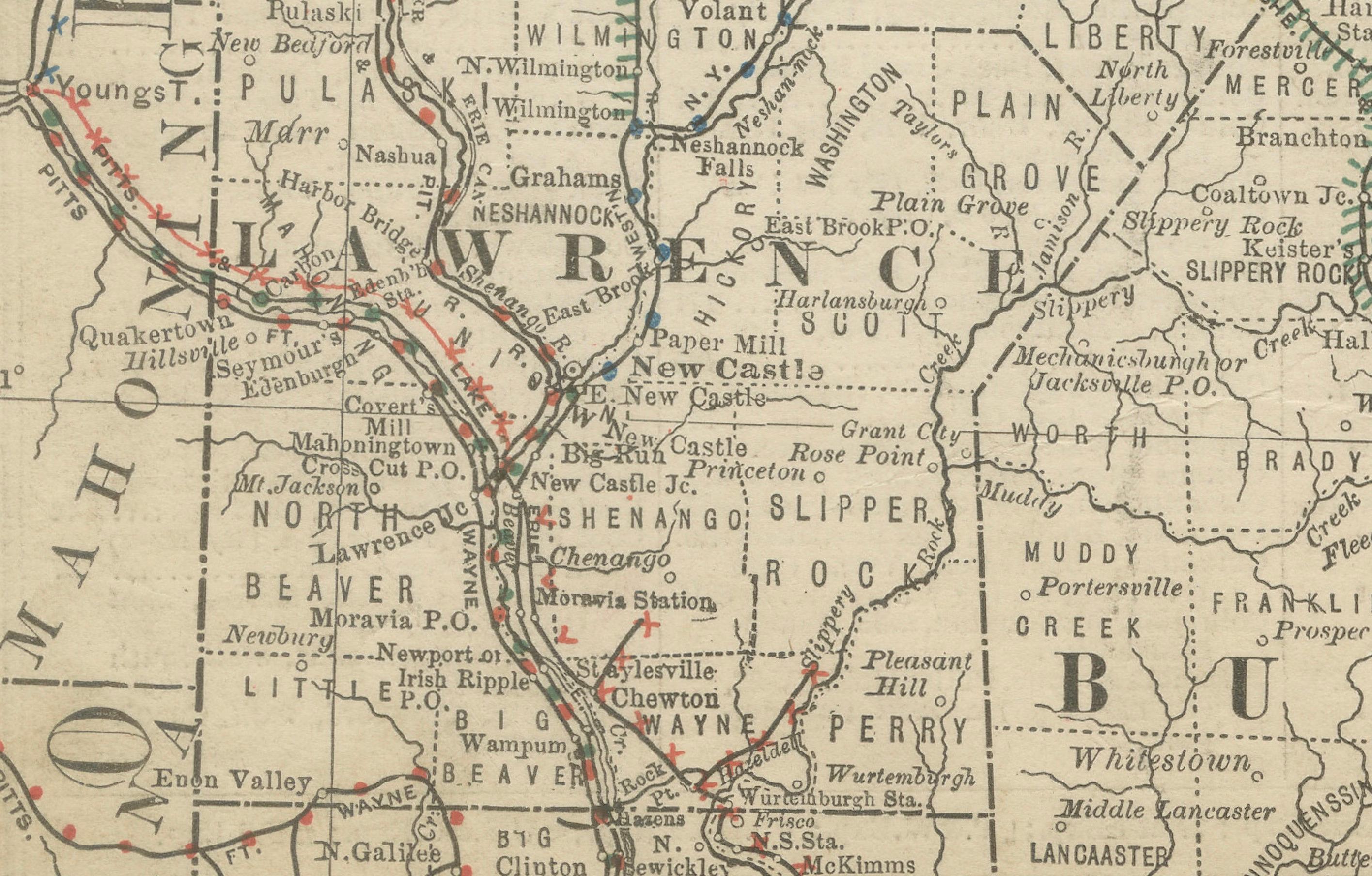
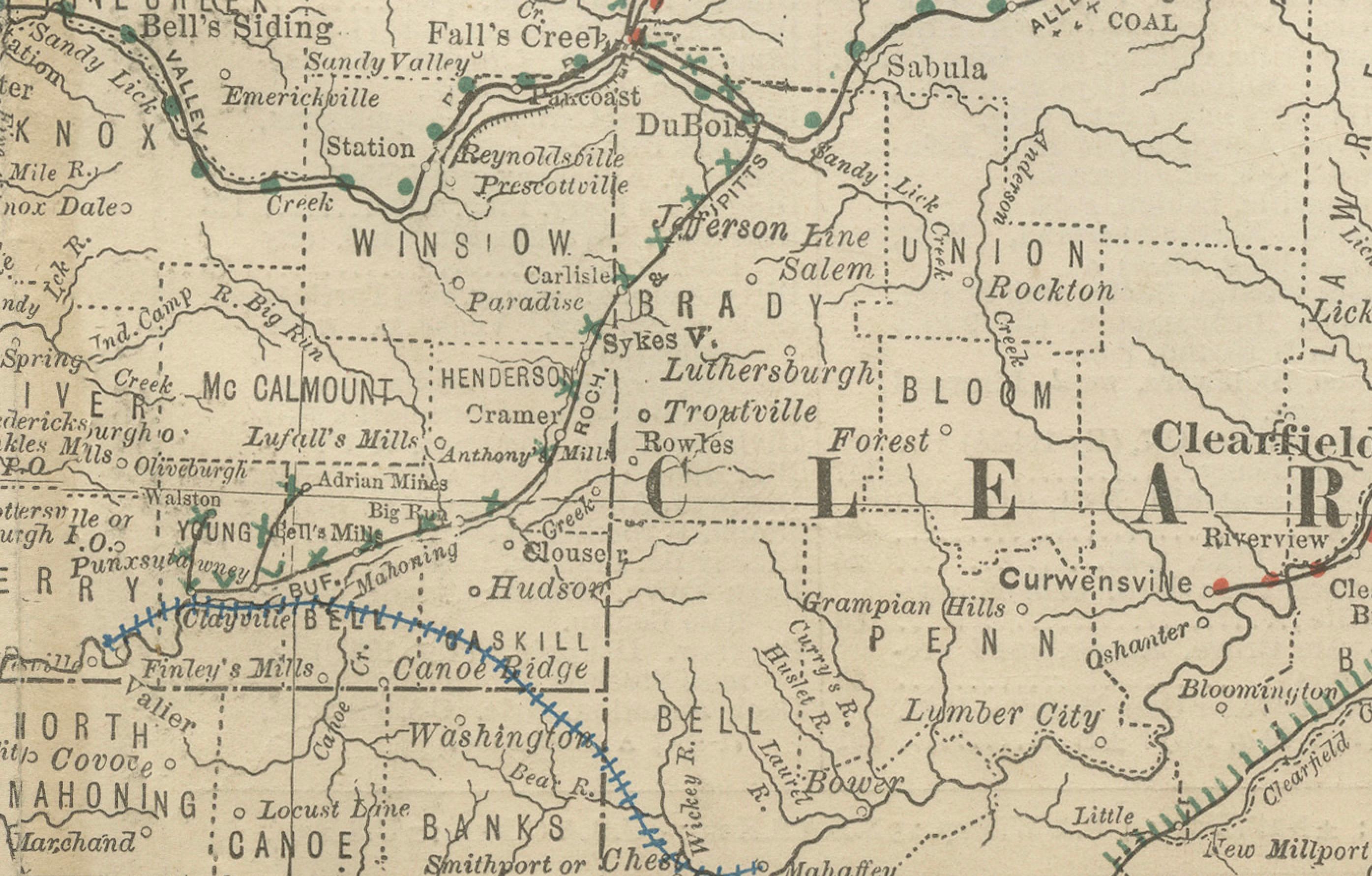
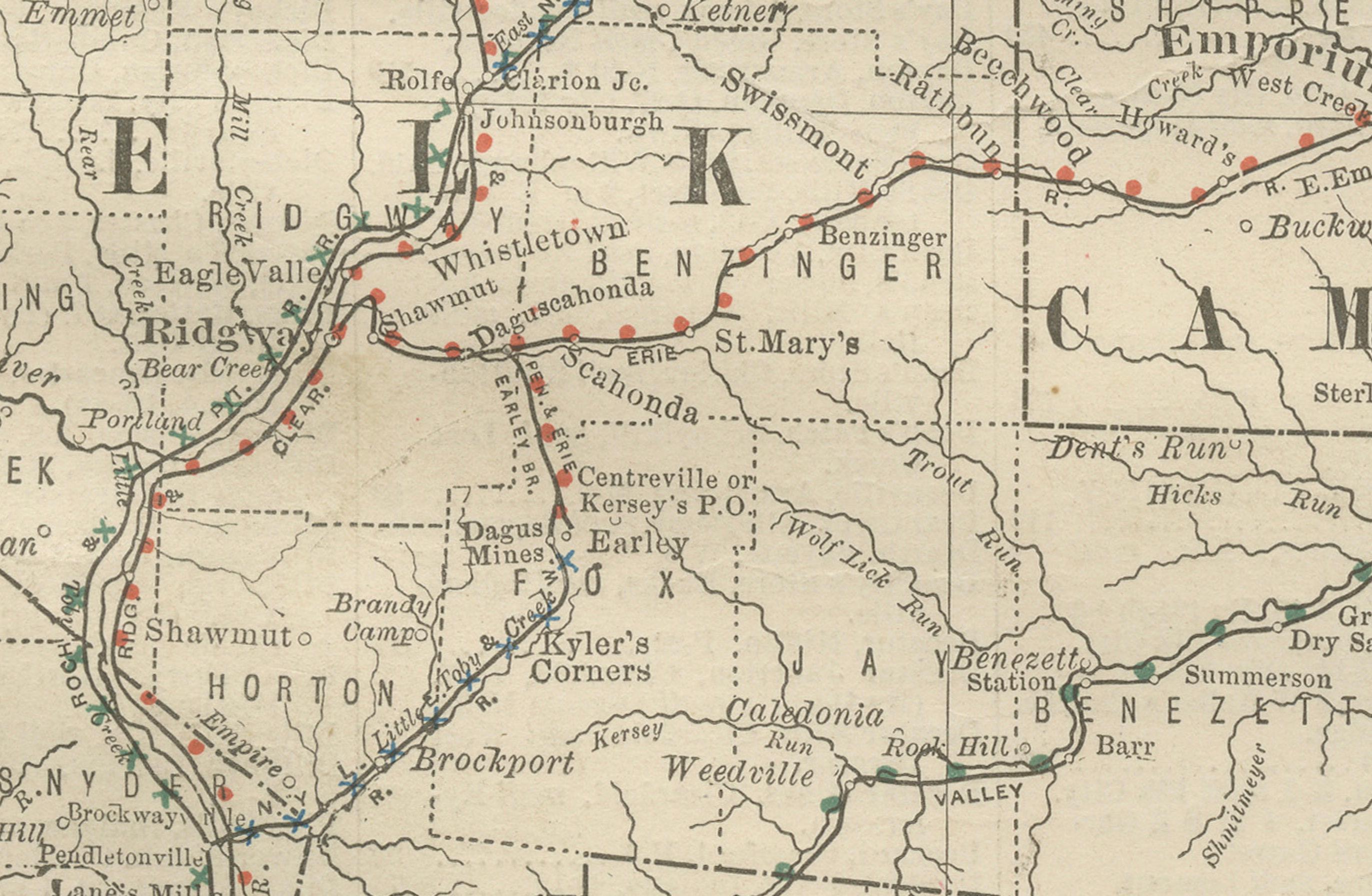
This finely detailed antique map of northwestern Pennsylvania was published by Rand, McNally & Co. around 1888. It comes from one of their authoritative late 19th-century atlases and provides a comprehensive overview of the region at a time when the expansion of railroads and industry was rapidly transforming the state.
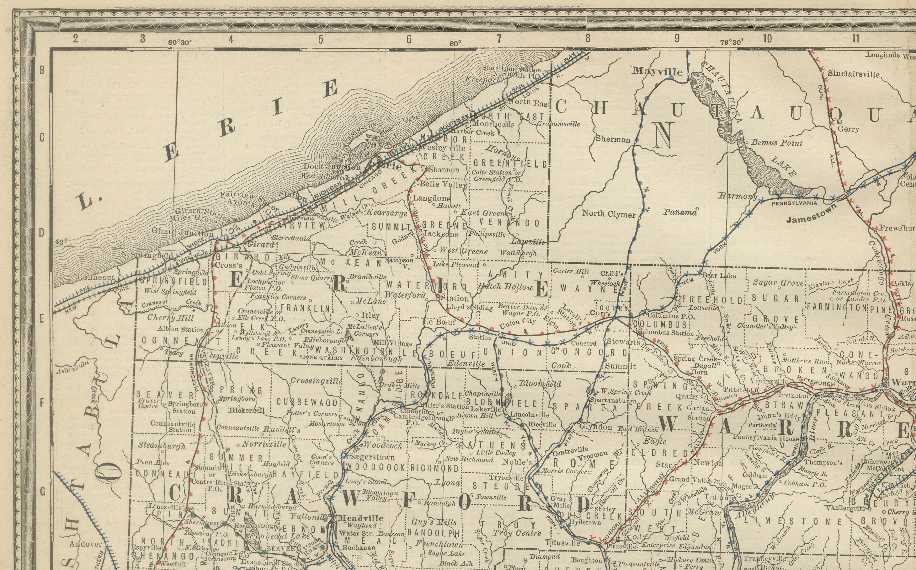
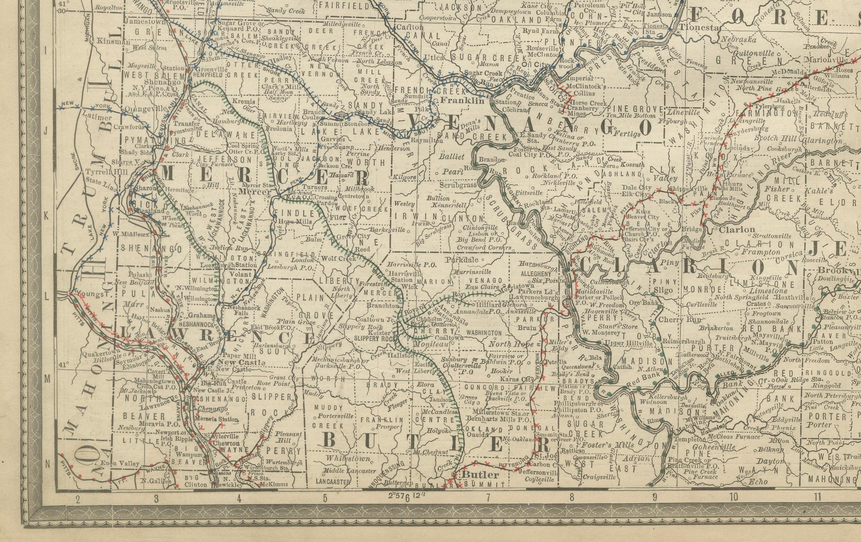
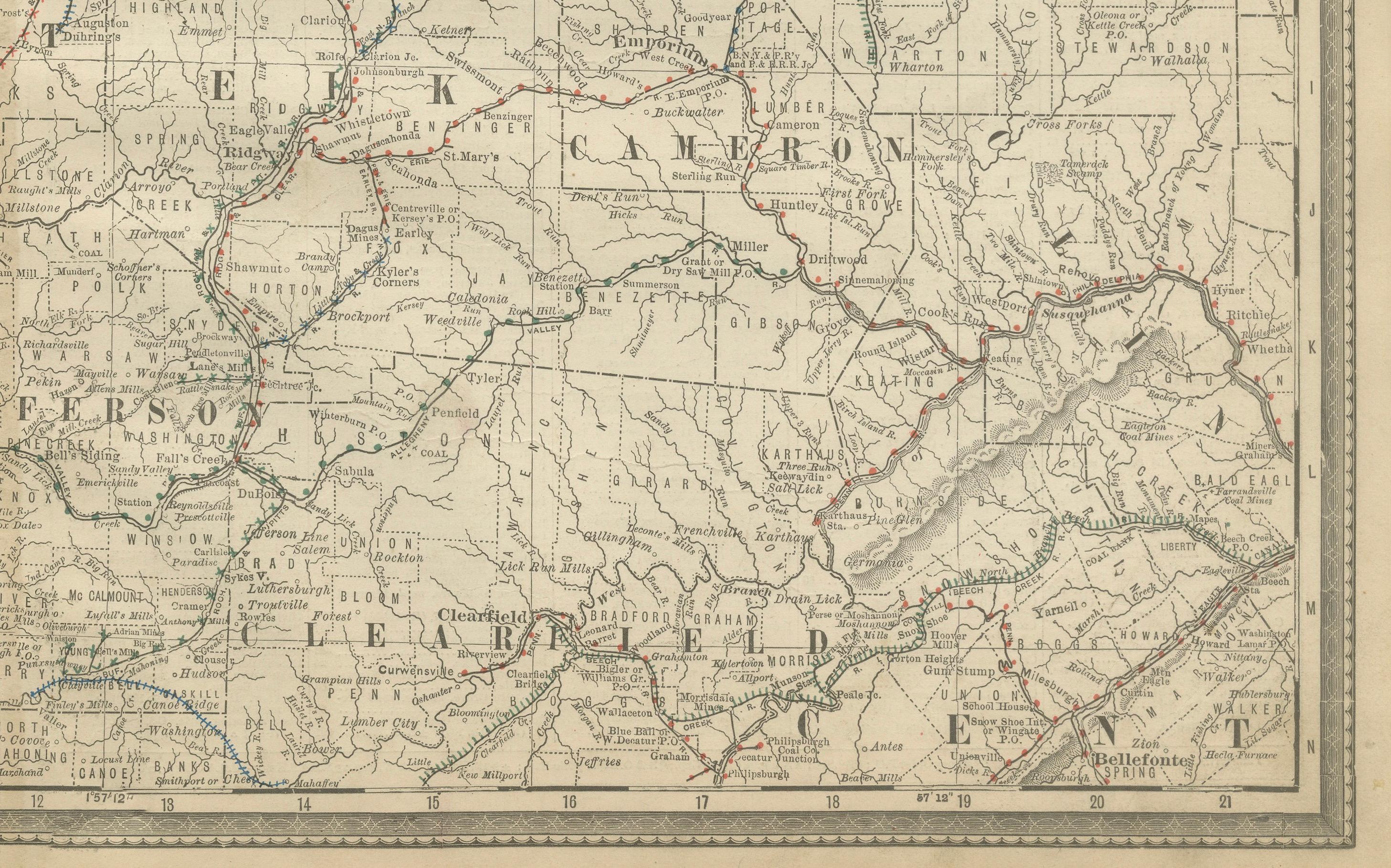
The map covers the counties of Erie, Crawford, Warren, Venango, Forest, Mercer, Clarion, Jefferson, Butler, Elk, Cameron, and surrounding areas, extending into parts of New York state. Notable cities and towns such as Erie, Meadville, Franklin, Oil City, and Butler are marked with clarity, alongside countless smaller communities, many of which developed during the oil boom of the mid-19th century.
Railroads, a defining feature of Rand McNally’s cartography, are prominently delineated in red and blue lines, emphasizing the growing network that linked industrial centers to coal, oil, and timber regions. Rivers, creeks, and county borders are drawn with precision, creating a functional yet highly decorative map for the period.
This map is more than a geographical record—it is a snapshot of Pennsylvania at the height of the Gilded Age, reflecting the region’s economic significance in coal, oil, and steel production. Its crisp engraving and restrained hand-coloring give it a timeless aesthetic appeal that makes it suitable both for study and for display. Collectors of American history, Pennsylvania memorabilia, or railroad ephemera will find this map particularly appealing.
Condition report:
Good condition with light age toning and minor foxing in the central fold area. Margins clean with only slight handling wear. Plate mark visible around the border. Center fold as issued. No tears or significant damage.
Framing tips:
A dark wood or black frame with a cream or light beige mat will highlight the map’s fine engraved detail. For a more historic presentation, a walnut-toned frame with a double mat—cream outer and deep green inner—will emphasize the period charm and bring out the subtle hand-coloring of the railroad lines.
Technique: Lithograph with original outline color
Maker: Rand, McNally & Co., Chicago, circa 1888