Maine Antique Railroad Map c.1888 – Pine Tree State Counties & Settlements
€ 460
One of a kind: this is the sheet in the photographs. Ships from Langweer, the Netherlands.
Date
1888
Sheet size
52.5 × 36 cm (20.7 × 14.2 in)
Condition
Good
Reference
BG-12794-13
Condition
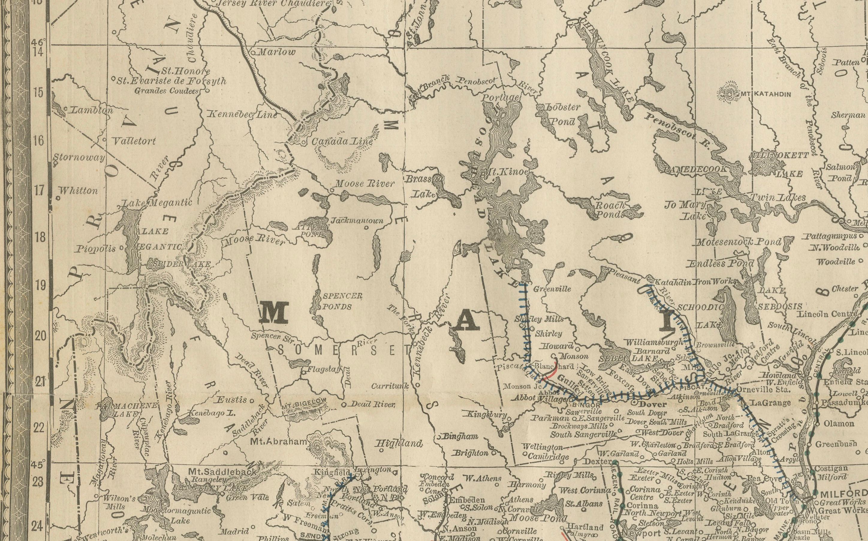
Good condition with even age toning. Original center fold as issued with slight darkening along the crease. Plate mark visible. Clean margins with minimal handling wear. Strong impression with crisp detail.
About this sheet
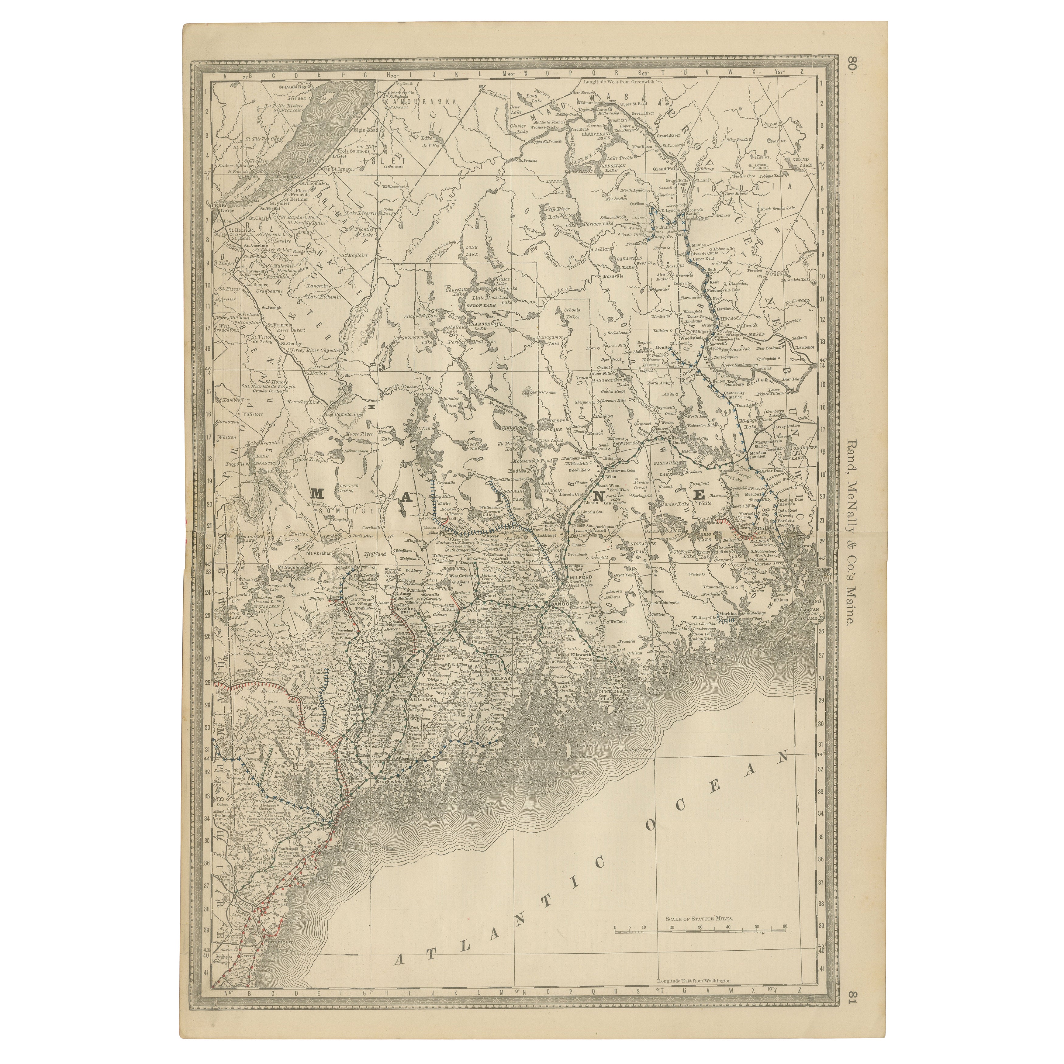
Antique Map of Maine – Rand McNally, circa 1888
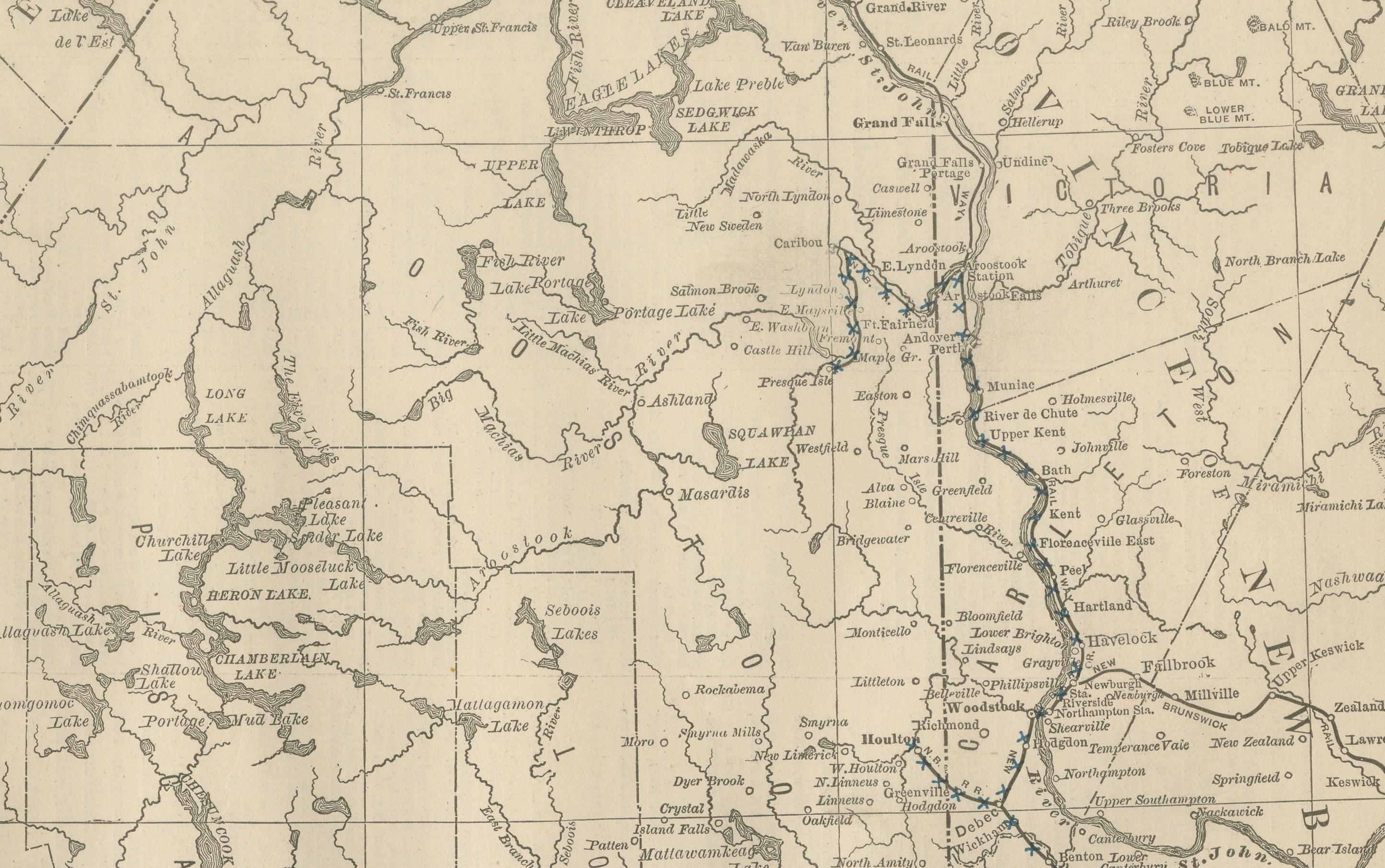
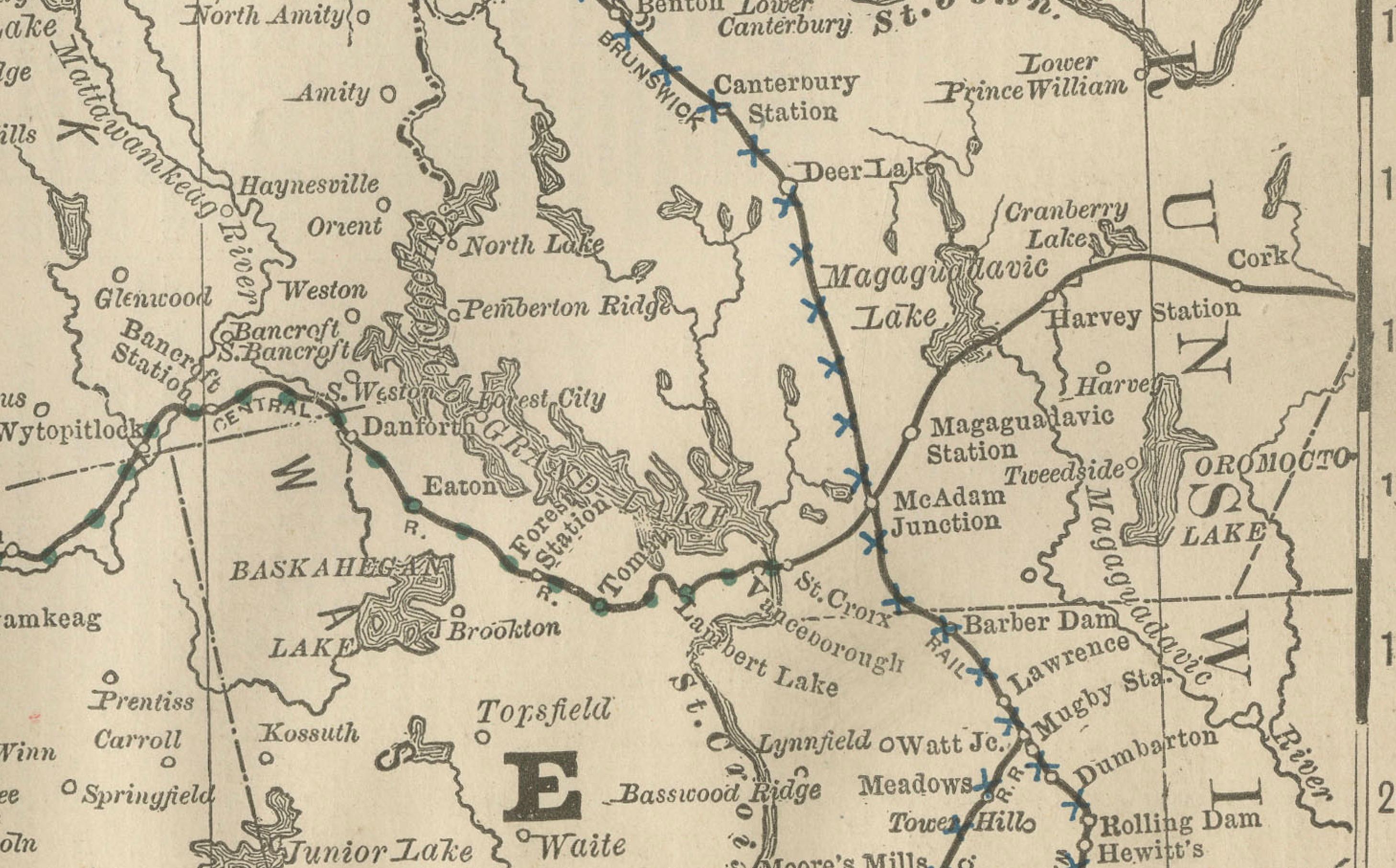
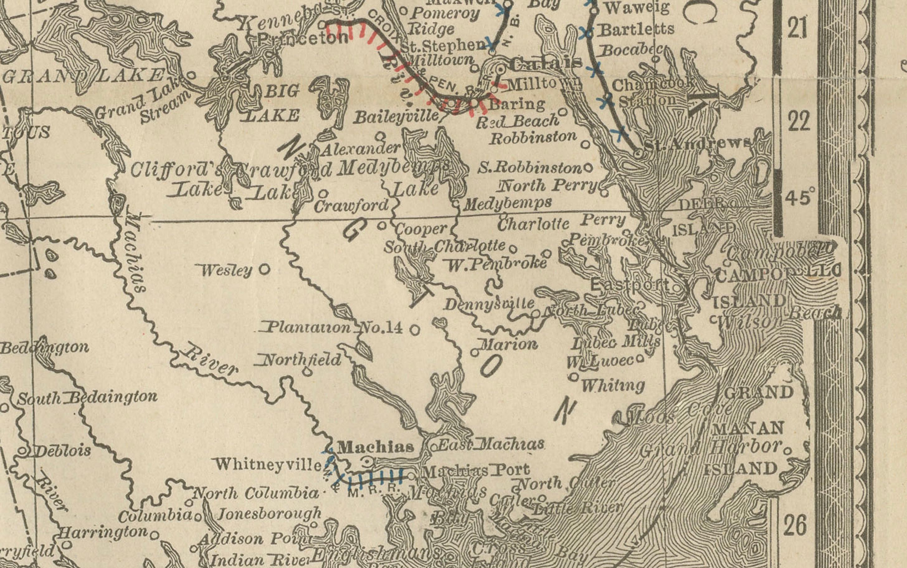
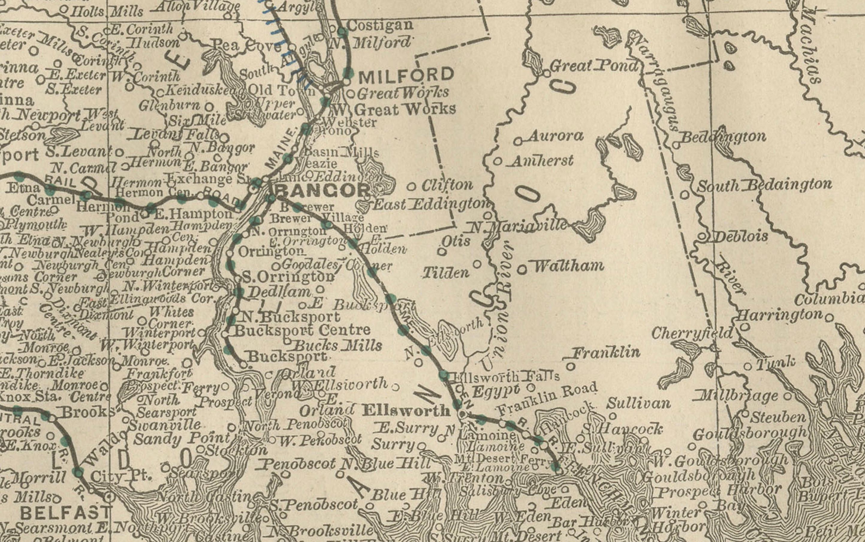
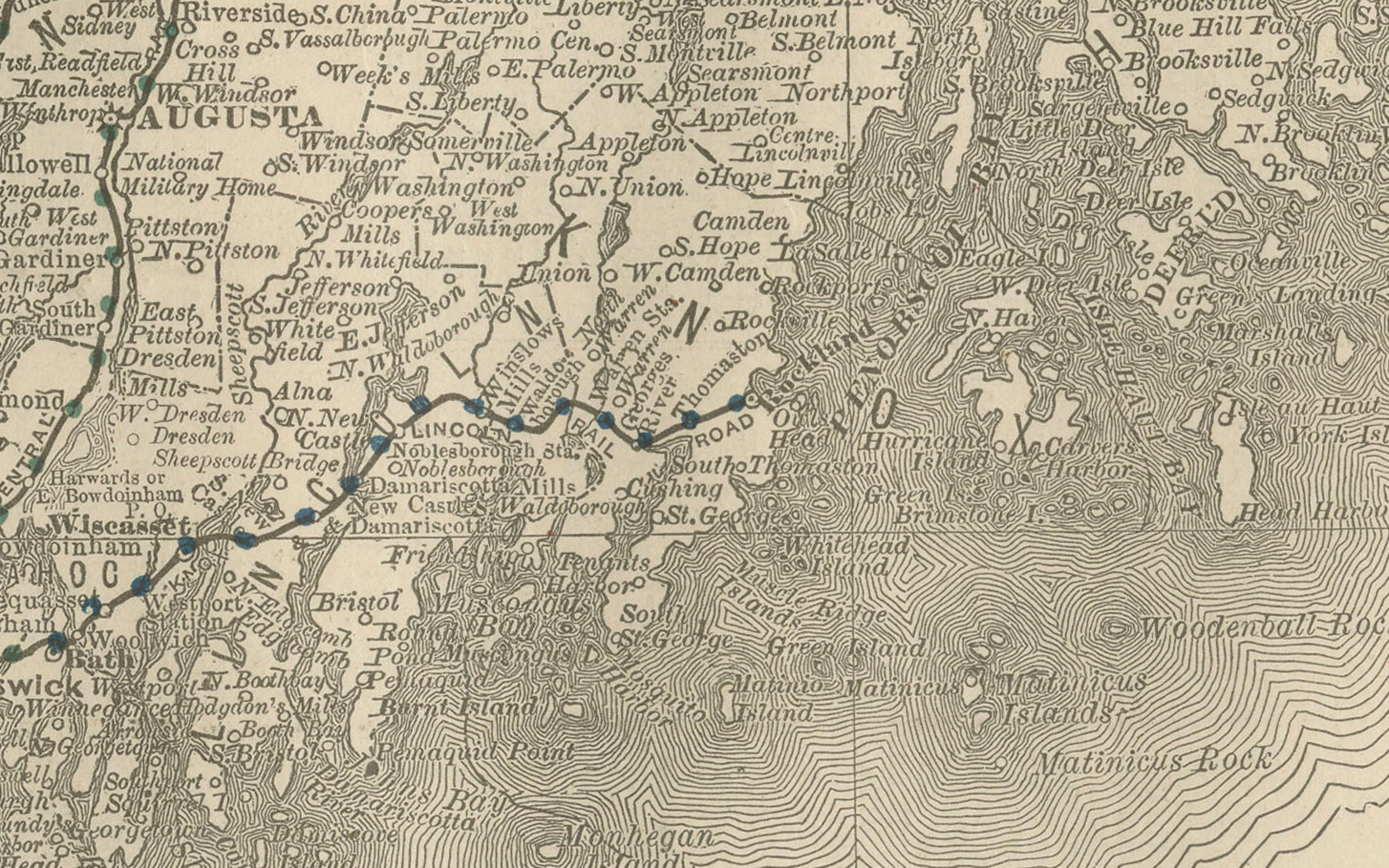
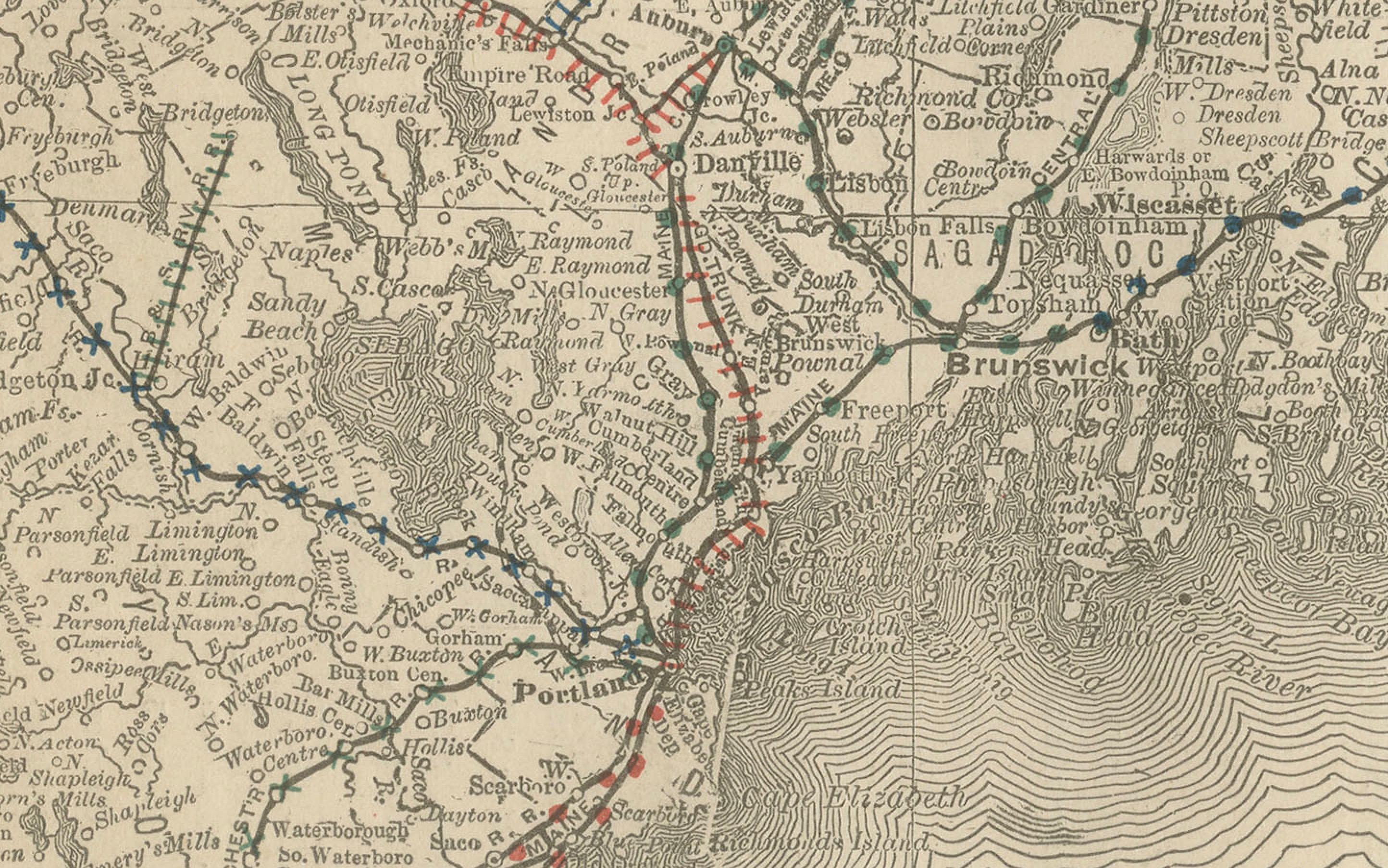
This antique map of Maine was published by Rand, McNally & Co. around 1888. It depicts the Pine Tree State in great detail, showing its counties, towns, rivers, and transportation routes at a time when railroads were beginning to connect its inland towns with the coastal ports.
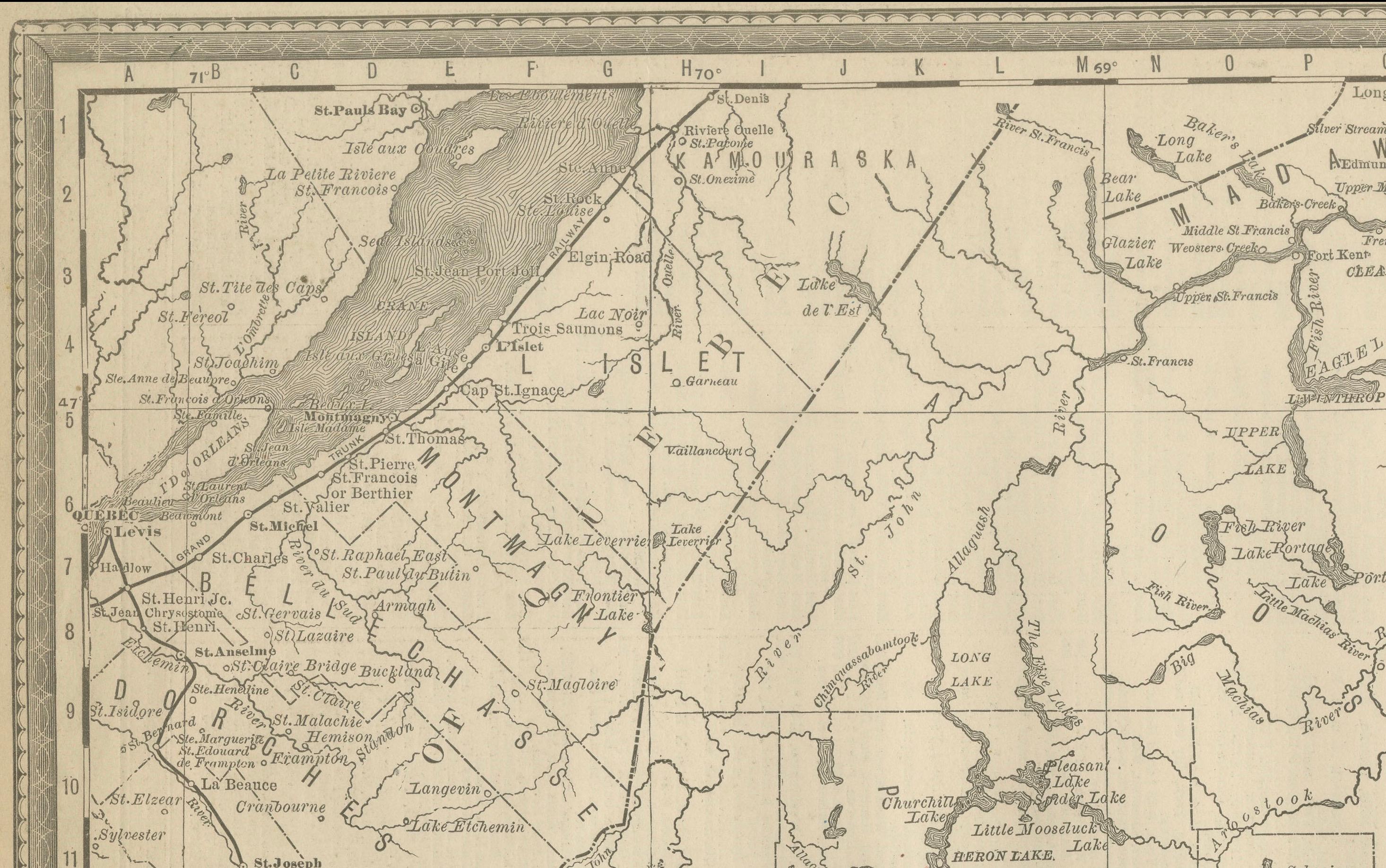
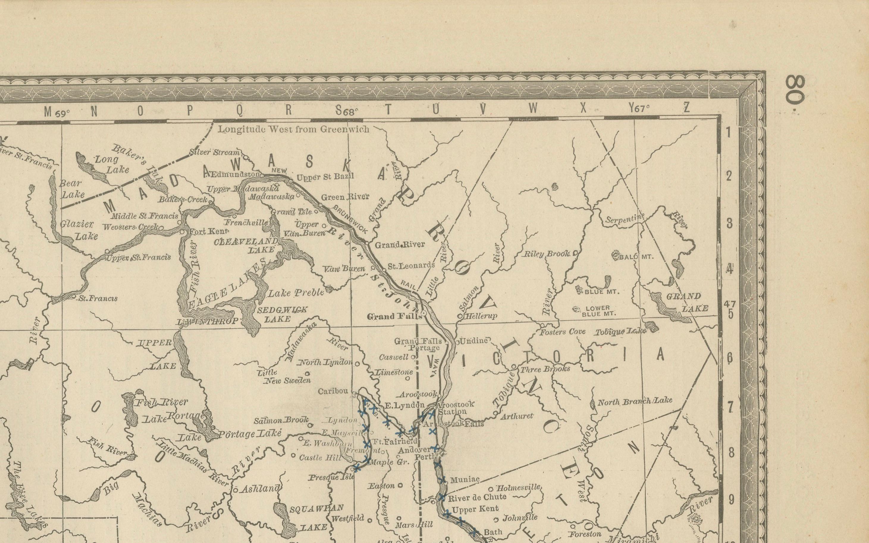
The map extends from the Atlantic Ocean coastline, including Portland, Bangor, Augusta, and Rockland, to the inland lakes and forests near the Canadian border. The state’s rugged eastern coastline is finely engraved with wave patterns, highlighting its many bays and harbors. Numerous small islands off the coast are also carefully shown.
Railroads are marked in red and blue, tracing lines from Portland and Augusta northward and eastward, linking Maine’s ports with Boston and the greater New England railway system. These routes illustrate Maine’s role in the lumber, fishing, and shipping industries of the late 19th century. The map also captures Maine’s expansive rural geography, with many small towns and settlements scattered across its forested interior.
Rand McNally’s precision and clarity make this both a functional reference and a decorative historical map. It appeals to collectors of New England cartography, maritime history, and late 19th-century American maps.
Condition report: Very good condition with even age toning. Original center fold as issued with slight darkening along the crease. Plate mark visible. Clean margins with minimal handling wear. Strong impression with crisp detail.
Framing tips: A black or walnut frame with a cream mat will highlight the fine engraved detail. A double mat with ivory outer and muted blue inner will draw attention to the Atlantic coastline, balancing the land and sea detail.
Technique: Lithograph with original outline color Maker: Rand, McNally & Co., Chicago, circa 1888