No longer available
Antique Map of Prussia by Tallis (c.1851)
This sheet is no longer available. Each item we offer is a single original, so once it has gone it cannot be restocked. Below are available sheets from the same part of the collection.
Available now in Germany
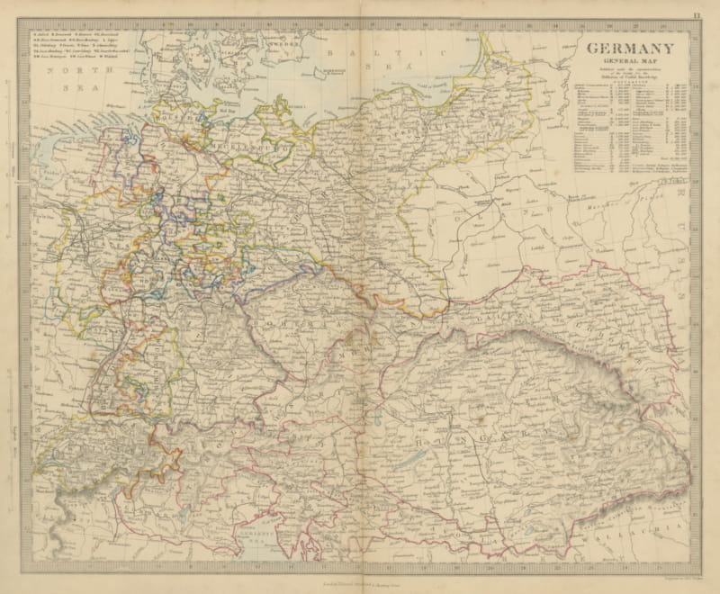
Antique Map of Germany and the Austrian Empire with Population Table, 1858
1858 · € 130
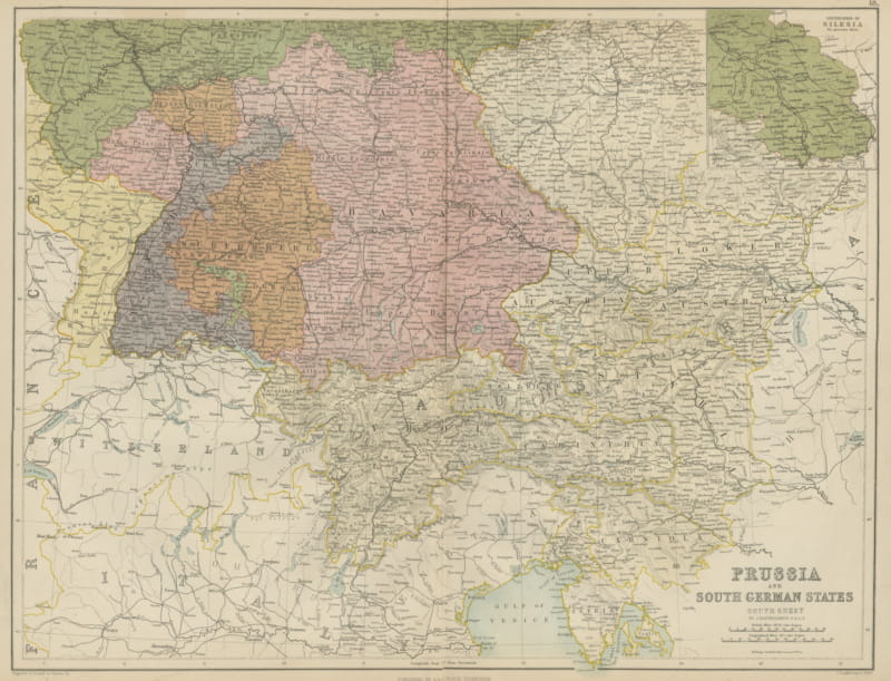
Antique Map of Prussia and the South German States, Black's General Atlas, 1870
1870 · € 240
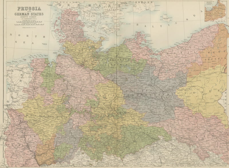
Antique Map of Prussia and the German States, North Sheet, Bartholomew, 1870
1870 · € 240
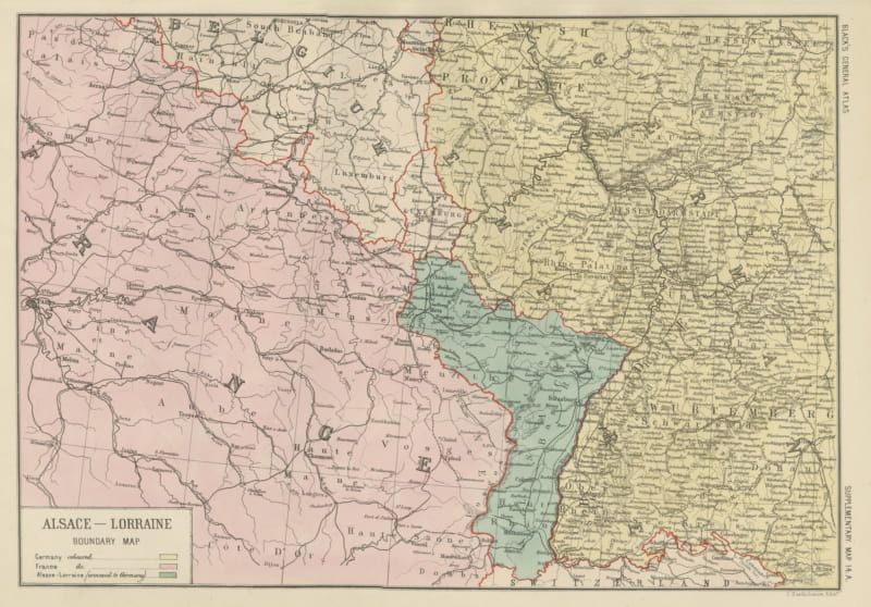
Antique Map of Alsace-Lorraine, Annexed to Germany, Bartholomew, circa 1871
circa 1871 · € 240
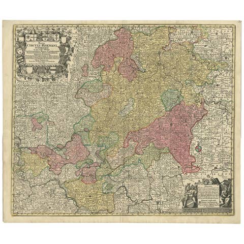
Hand-Colored Antique Map of part of Germany by M. Seutter, c. 1730
1730 · € 540
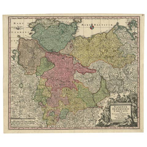
Antique Map of Northern Germany by M. Seutter, circa 1730
1730 · € 541
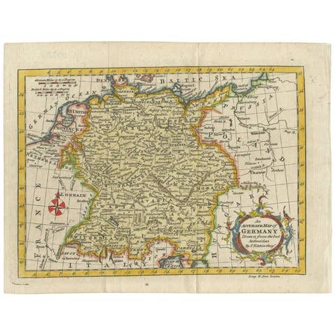
Antique Map of Germany by T. Kitchin, circa 1770
1770 · € 330
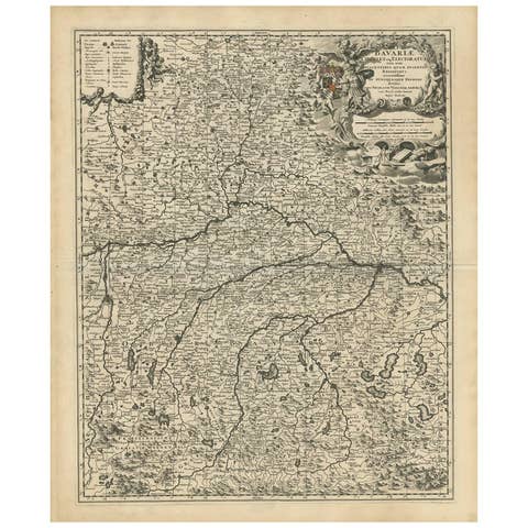
Antique Map of Bavaria with many details, Germany
€ 660
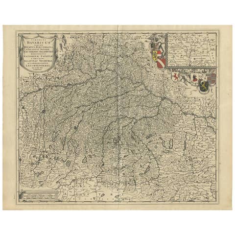
Antique Map of Southern Germany by F. de Wit, circa 1680
1680 · € 514
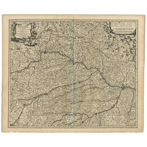
Antique Map of Bavaria ‘Bayern, Germany’ by N. Visscher, circa 1700
1700 · € 376
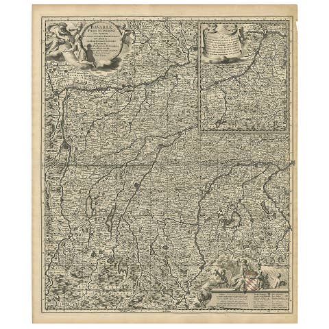
Antique Map of Upper Bavaria, Germany, circa 1690
1690 · € 695
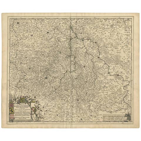
Antique Map of the Saxony Region 'Germany' by F. de Wit, circa 1680
1680 · € 647