Maps & PrintsBartele Gallery · Langweer
Home / Antique Maps / Europe / Western Europe / Germany

Germany · 18th century

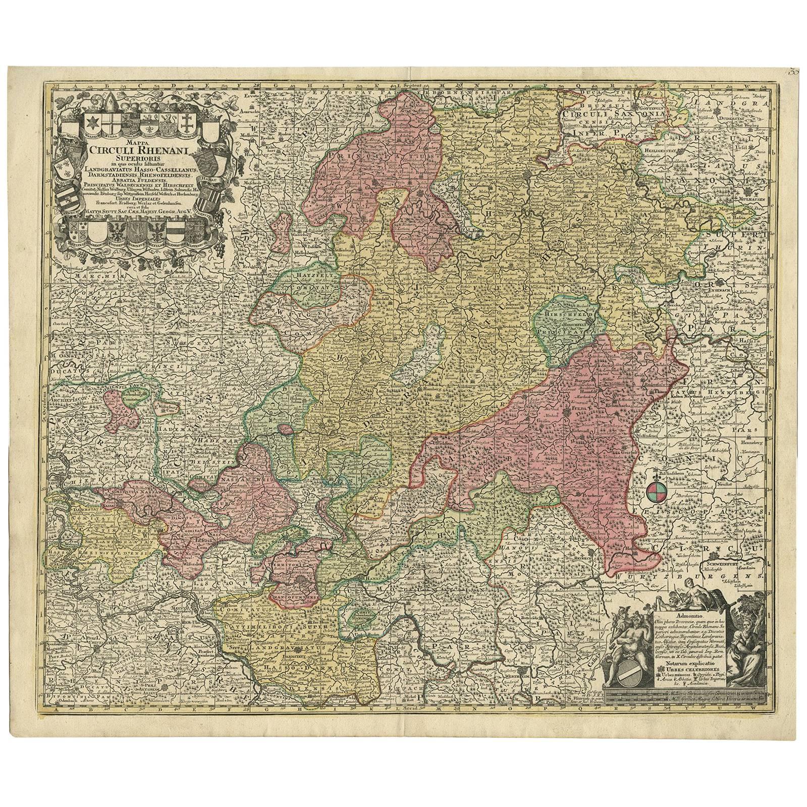
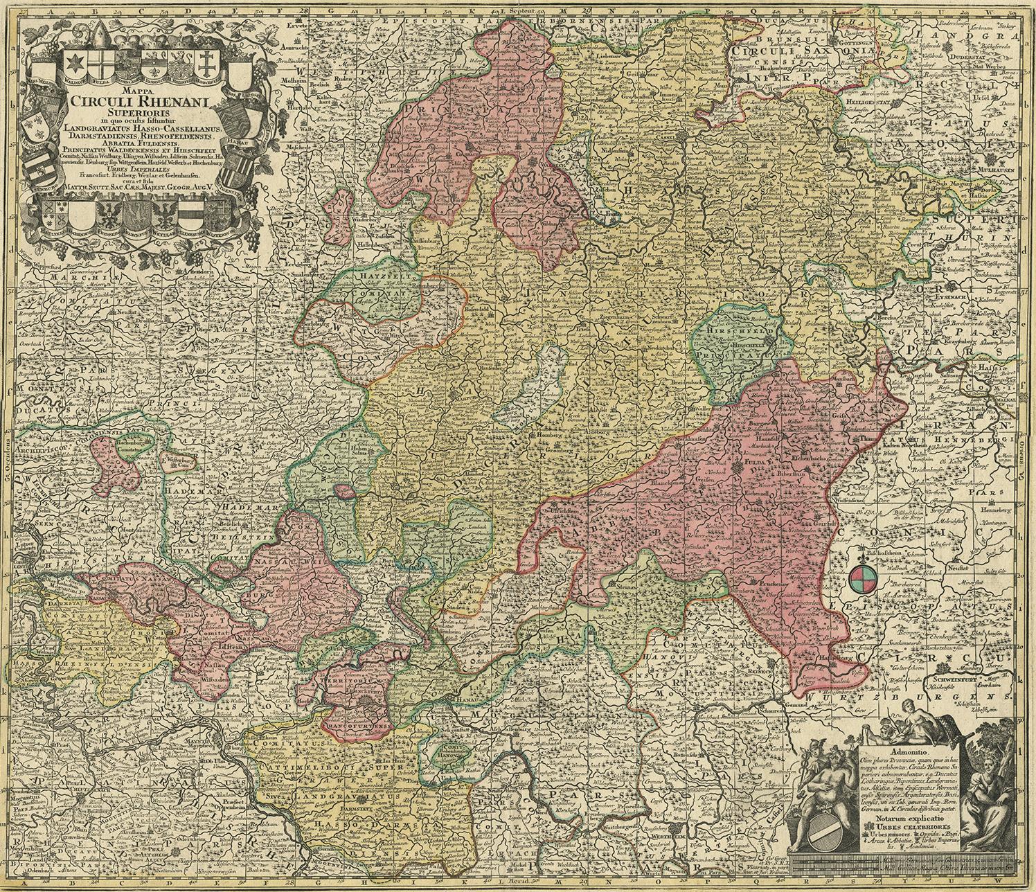
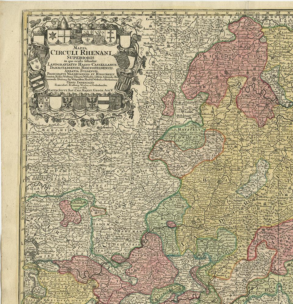
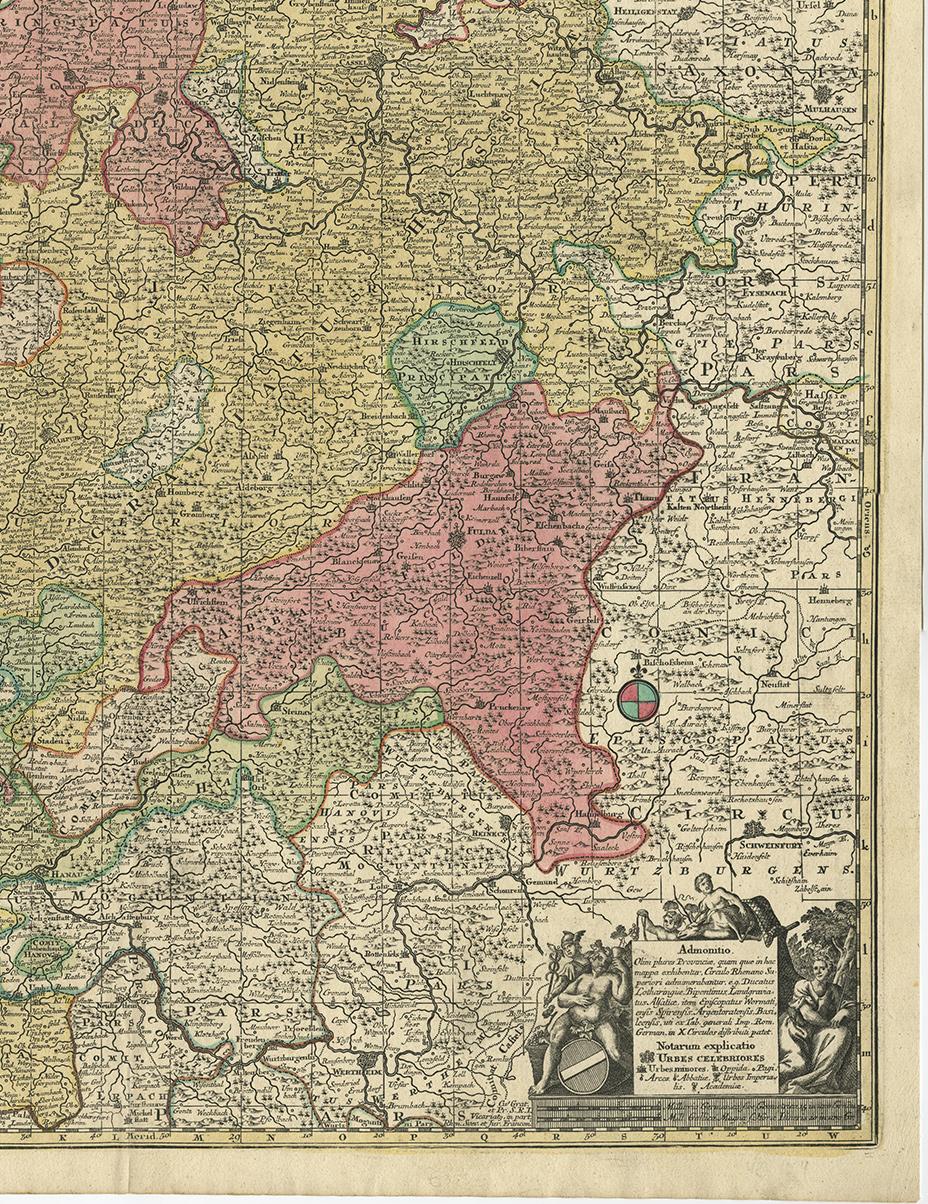
Hand-Colored Antique Map of part of Germany by M. Seutter, c. 1730

€ 540

One of a kind: this is the sheet in the photographs. Ships from Langweer, the Netherlands.

Date
1730
Mapmaker / artist
Matthew Seutter (Artist)
Sheet size
52.5 × 61 cm (20.7 × 24.0 in)
Condition
Good
Reference
BGI-00089

Condition

Please study image carefully.
About this sheet

Antique map titled 'Mappa Circuli Rhenani Superioris (..). Original map with hand coloring of part of Germany. It includes the region of Kassel, Göttingen, Eisenach, Schweinfurt, Wertheim, Darmstadt, Frankfurt, Mainz, Koblenz. Includes decorative cartouche, compass rose and coat of arms. Shows cities and towns, place names, rivers, forests and mountains. Published by M. Seutter.

More from Germany

Ask about this sheet

Hand-Colored Antique Map of part of Germany by M. Seutter, c. 1730
1730 · Ref. BGI-00089 · € 540
We reply by email, usually within one working day.