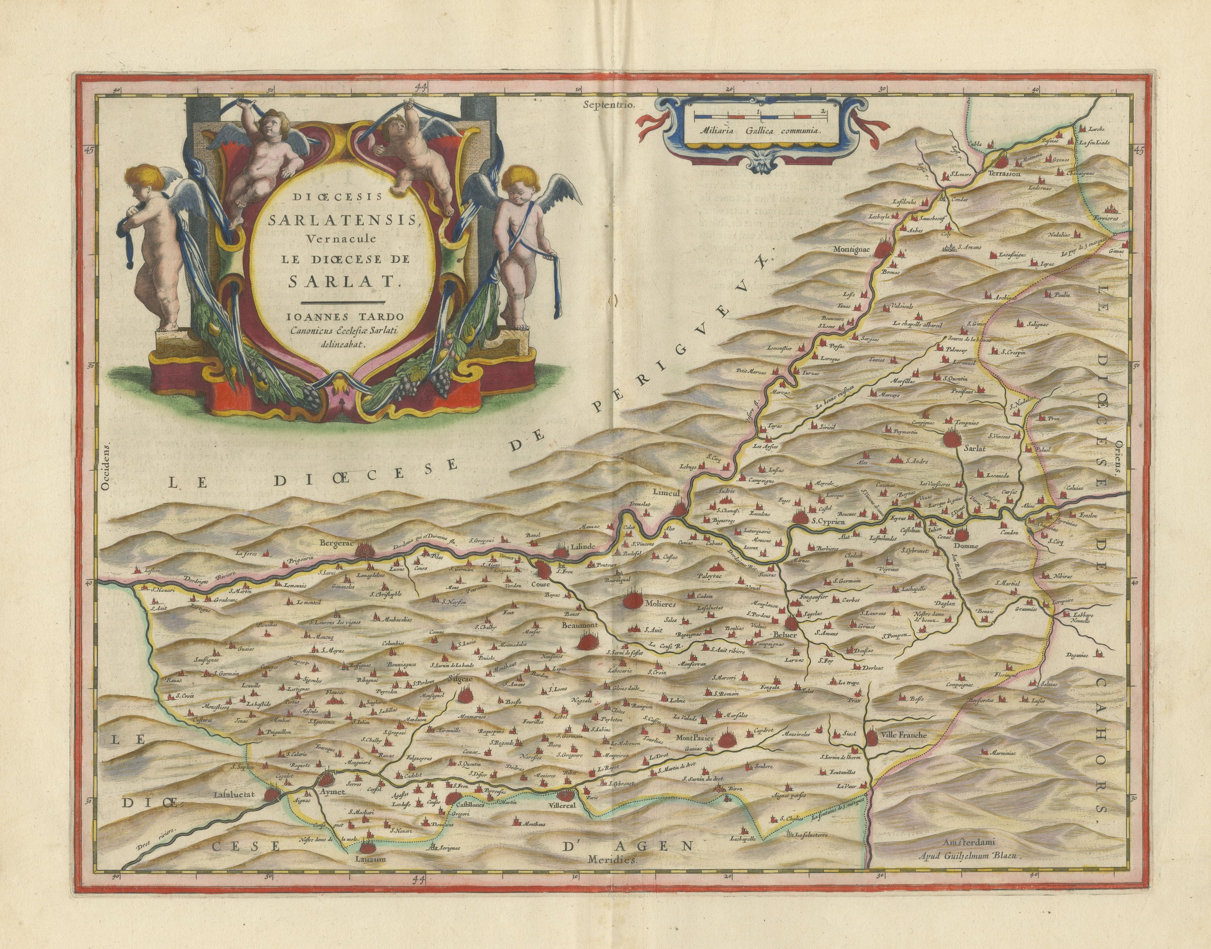
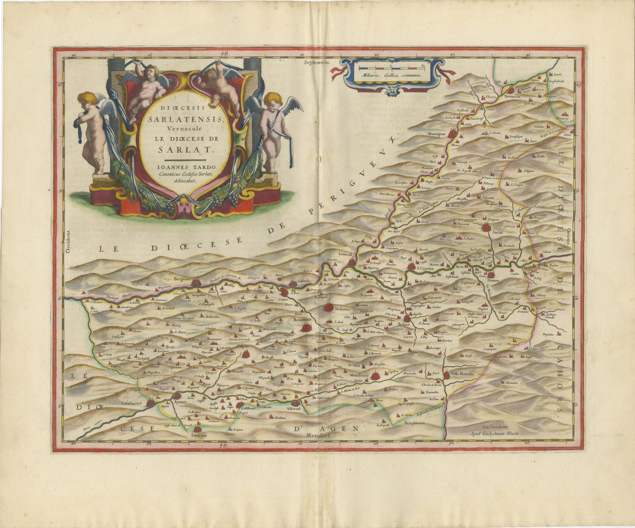
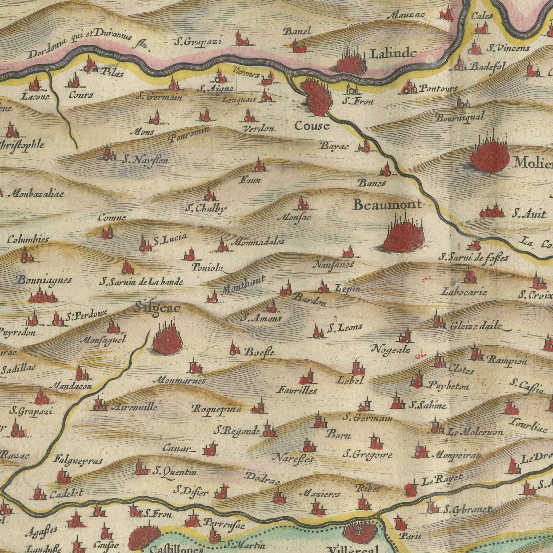
Antique Blaeu Map of the Diocese of Sarlat in Perigord, after Tarde, 1642
€ 1 950
Original antique · The actual sheet photographed · Certificate of authenticity on request · Sold unframed · Worldwide shipping from € 15 (rates)
Date
1642
Mapmaker / artist
Joan Blaeu
Publisher
Joan Blaeu, Amsterdam
Technique
Copper Engraving
Colouring
Later hand colour
Condition
Good
Reference
HP-040
Condition
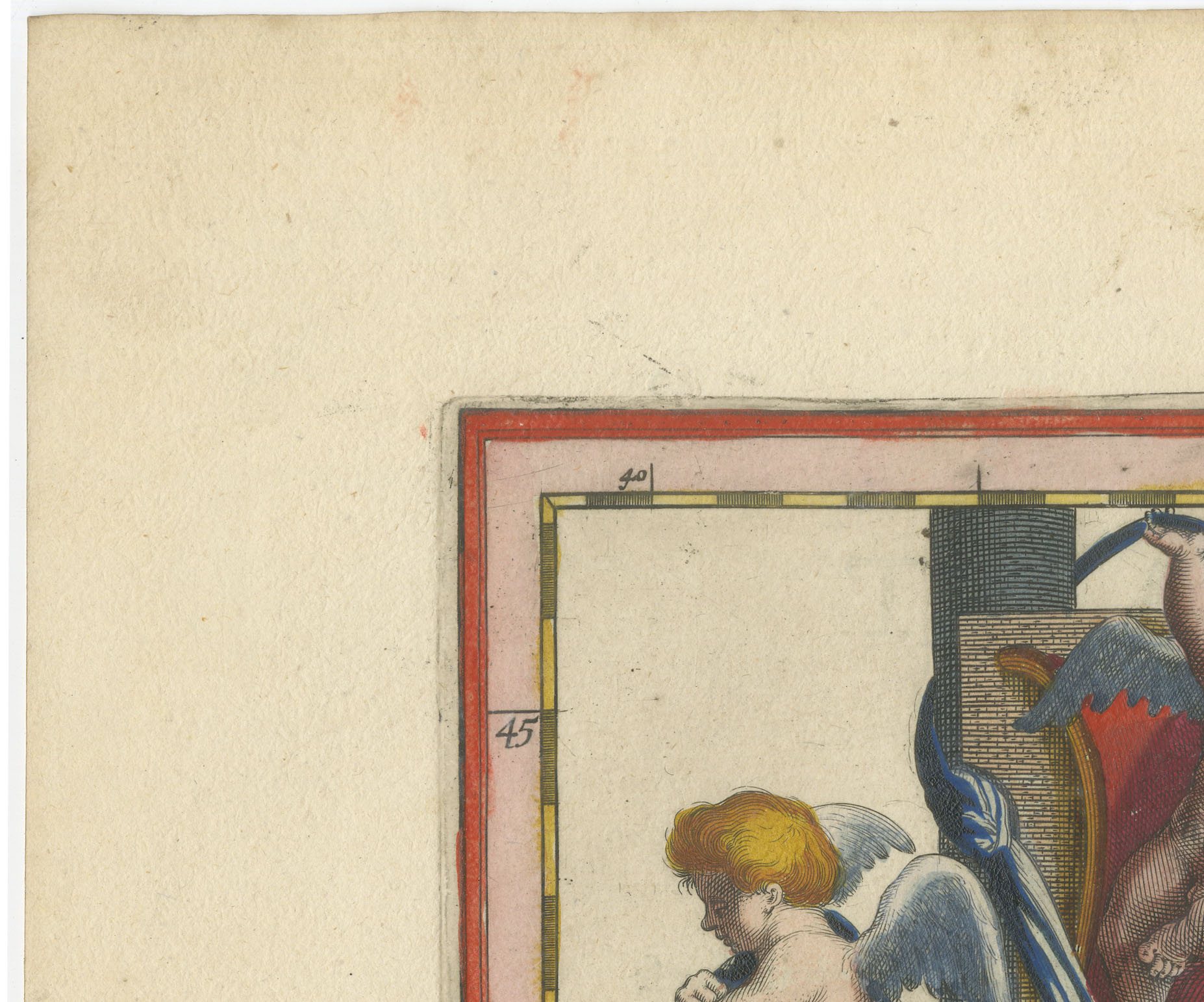
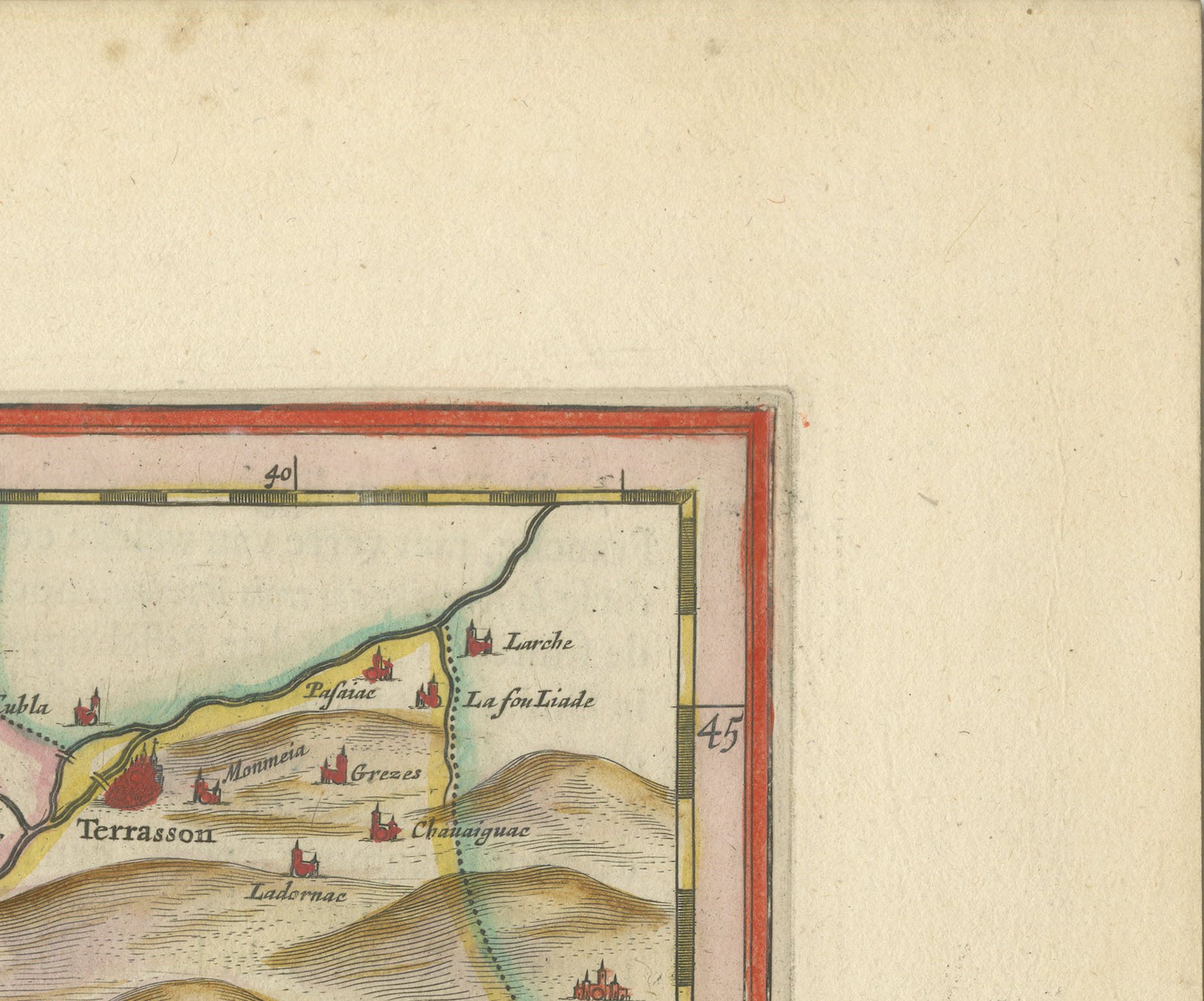
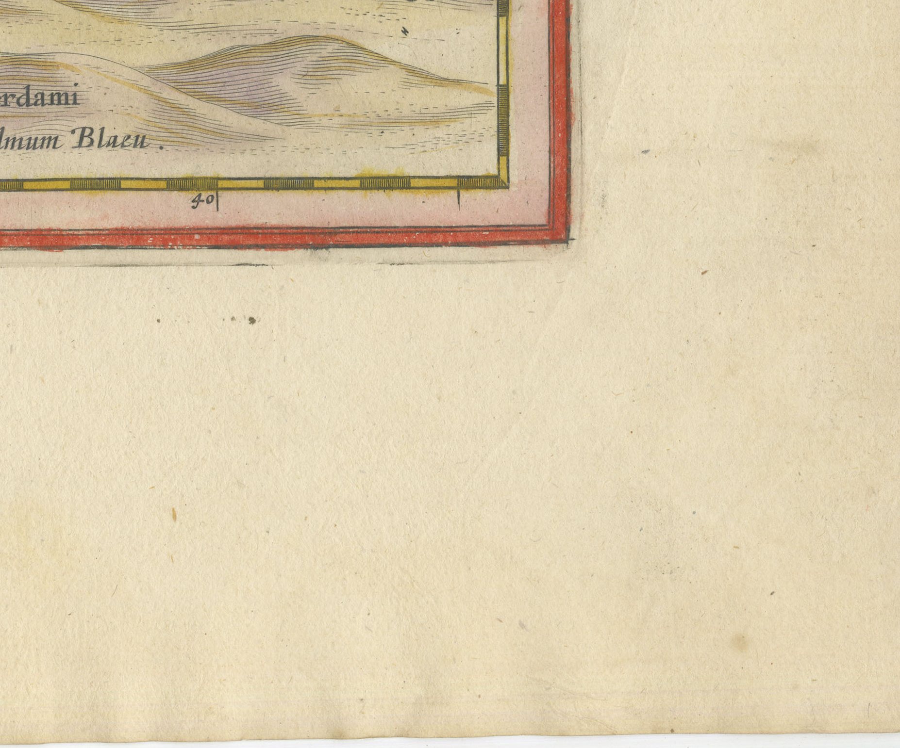
Good condition for its age. Light toning and a few small spots to the margins, including faint reddish spots at the upper left. Centre fold as issued. Please review the images for further condition details.
About this sheet
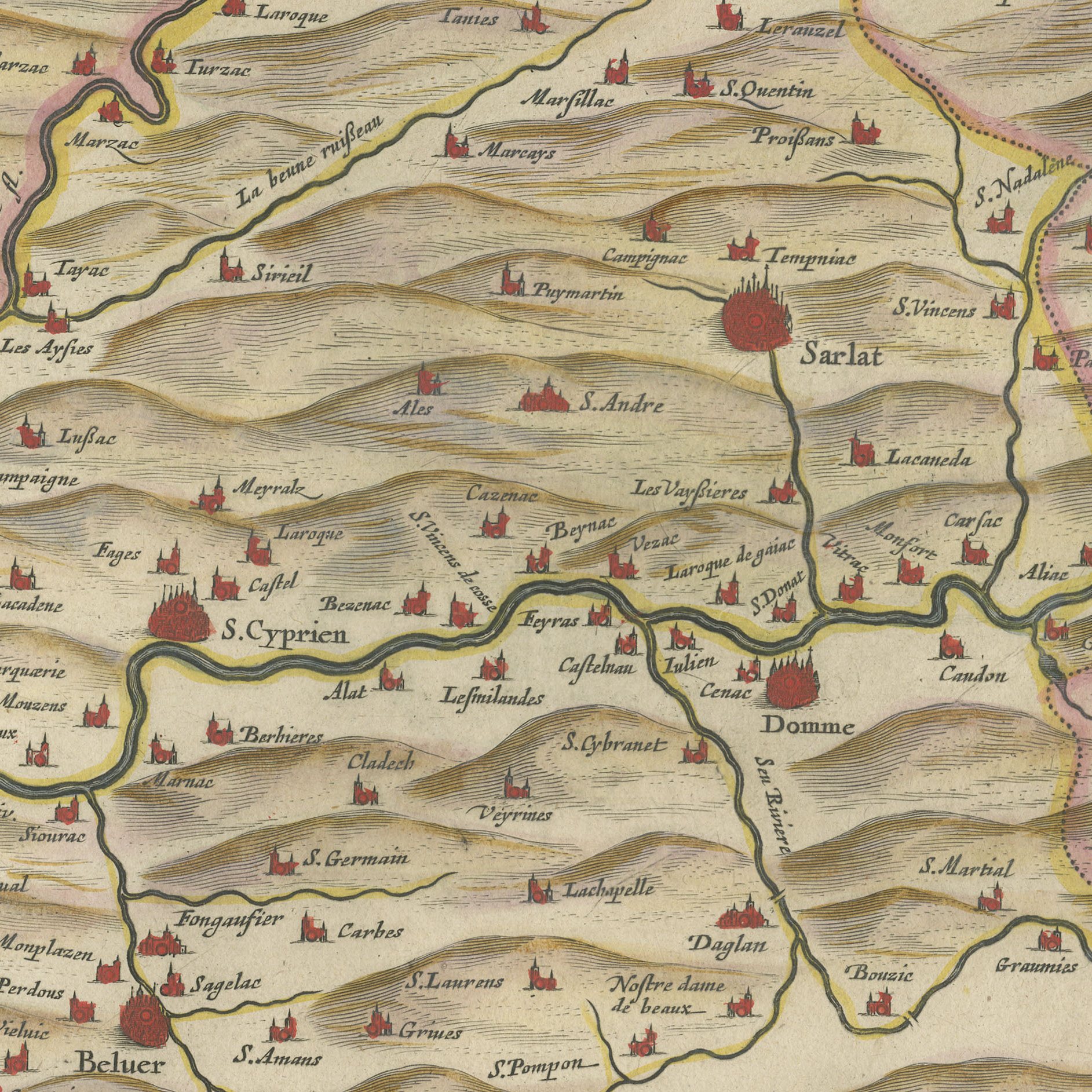
The diocese of Sarlat in Perigord, titled on the plate Dioecesis Sarlatensis, vernacule le diocese de Sarlat, and drawn by Jean Tarde, canon of the church of Sarlat, whose name is engraved on the sheet as Ioannes Tardo. Tarde was an astronomer as well as a cartographer and had visited Galileo in Florence, which makes him one of the more interesting figures to appear in a French provincial atlas. The map covers the Dordogne valley with Sarlat, Belves, Beynac, Les Eyzies country, Bergerac and Lalinde, with the dioceses of Perigueux, Cahors and Agen lettered around it. The Perigord is now one of the most visited corners of rural France, which gives this sheet a steady market among people who own or rent there.
The Blaeu house of Amsterdam was the greatest cartographic publisher of the Dutch golden age. Willem Jansz Blaeu began the atlas that his son Joan Blaeu carried to its full extent, and the Dutch text edition, Toonneel des Aerdriicx ofte Nieuwe Atlas, set a standard for engraving, paper and typography that no rival in Europe matched. The copper plates were cut with great delicacy, the title cartouches were designed as ornaments in their own right, and the sheets were printed on heavy laid paper that has survived three and a half centuries remarkably well.
Blaeu maps have been collected continuously since the seventeenth century and are the benchmark against which other Dutch cartography is measured, so a sheet from this atlas is a serious piece of the history of the book as well as a map. A large Blaeu plate is one of the few antique maps that can carry a wall on its own.
The sheet is in good condition for its age, with light toning and a few small spots in the margins; the centre fold is as issued and the image is clean and strong.
This is an original antique map, not a modern reproduction. This item is sold unframed. Any framed or interior images are shown for presentation and inspiration only, unless the listing explicitly states that the item is sold framed.