About this sheet
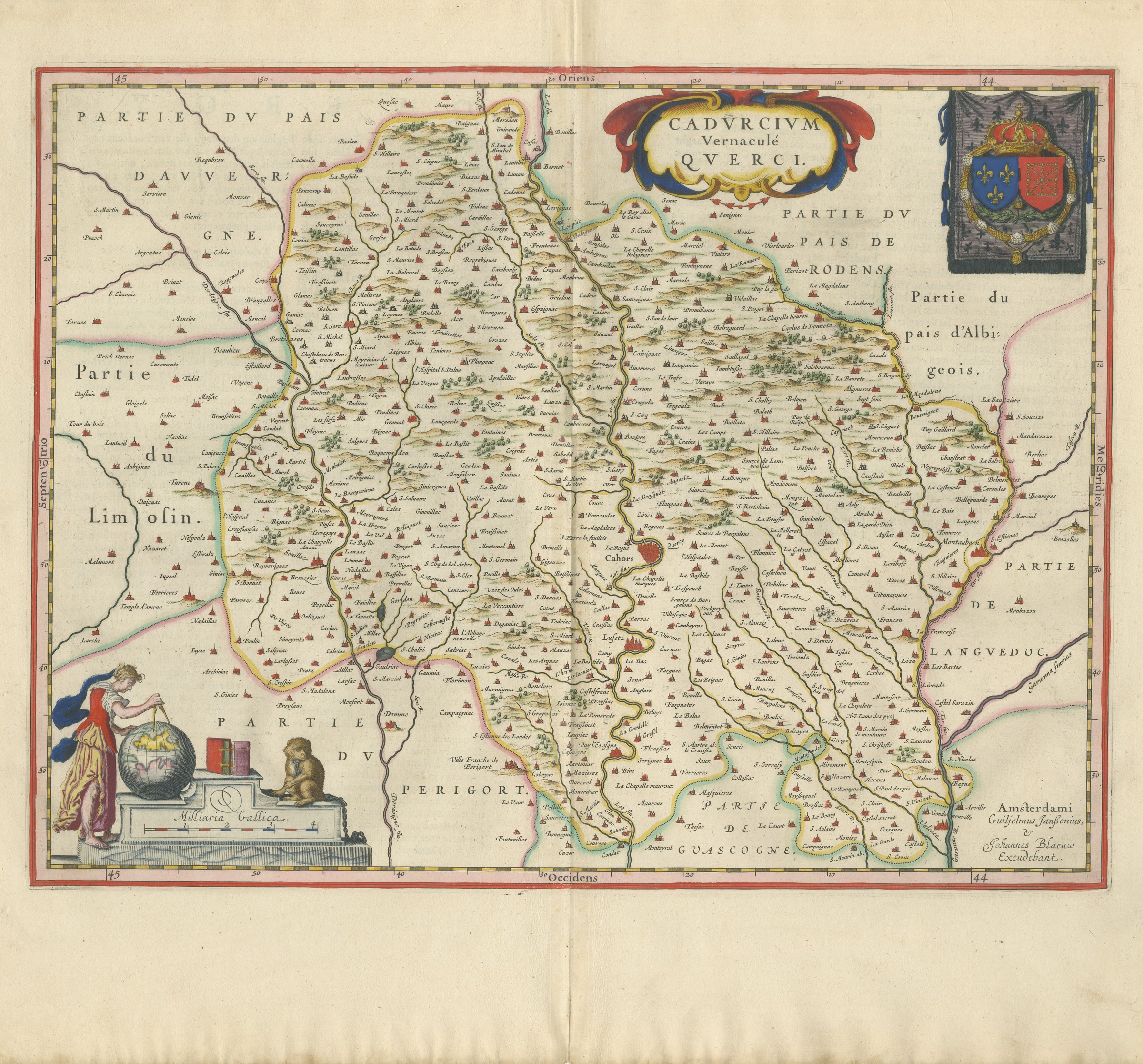
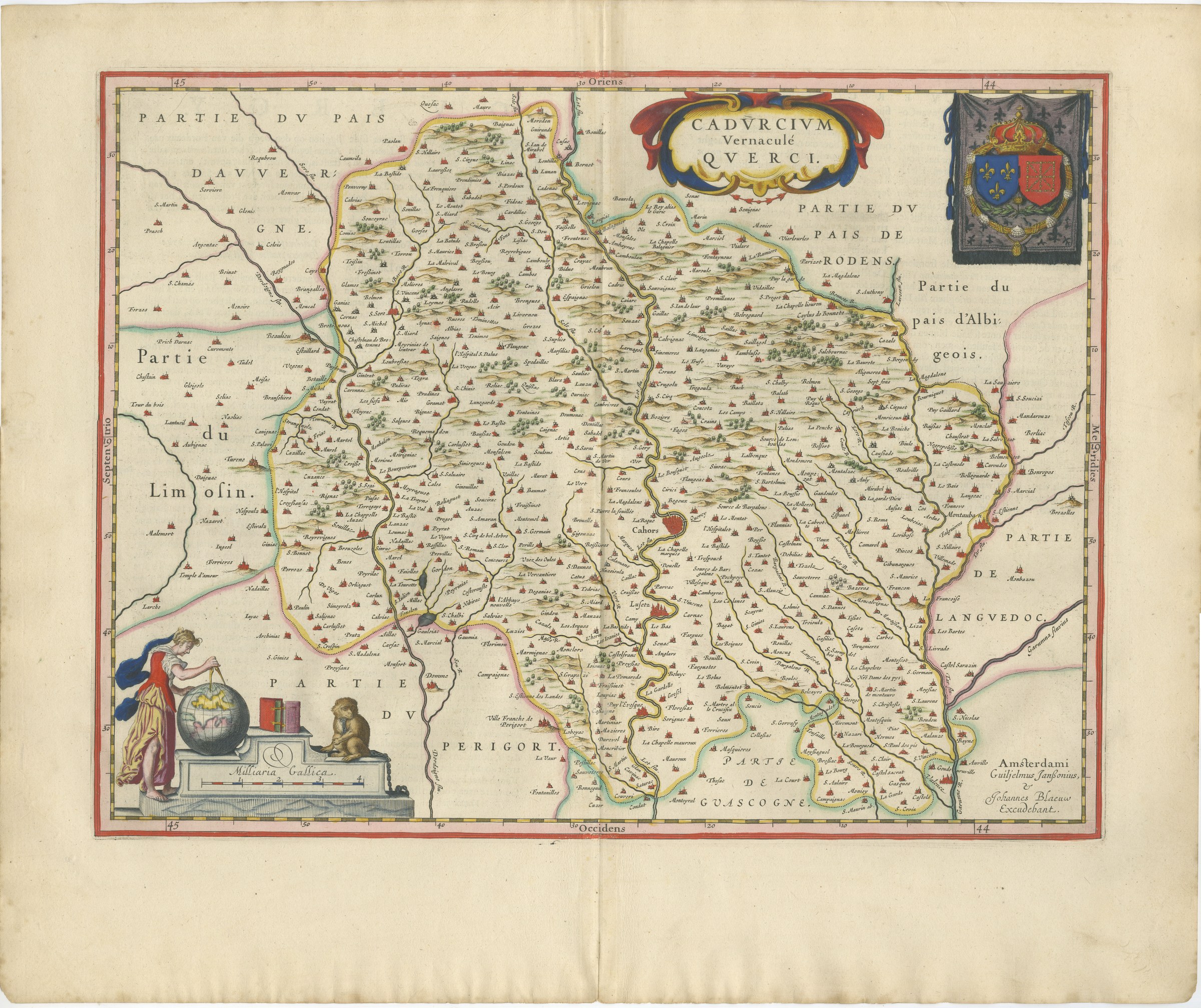
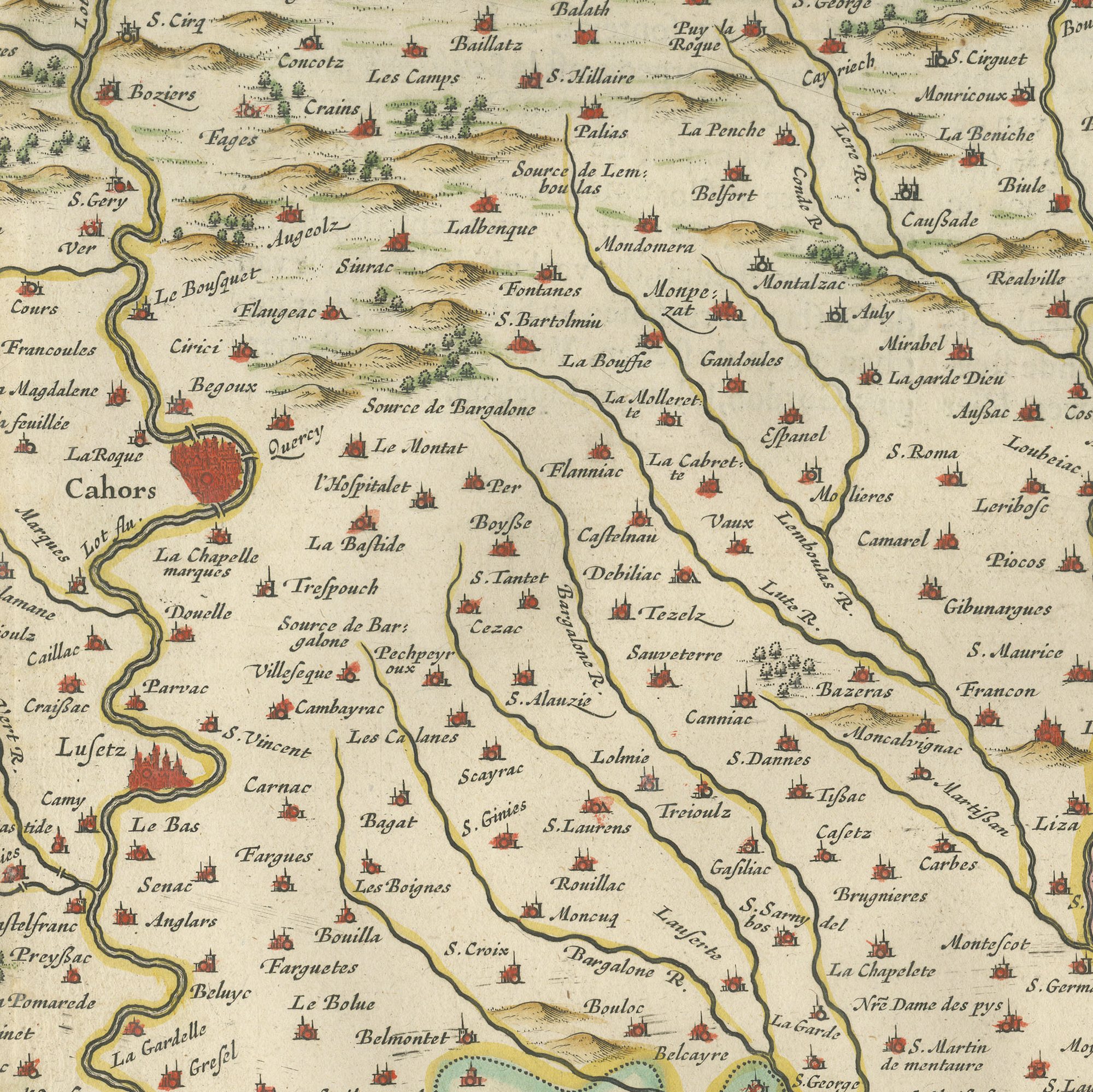
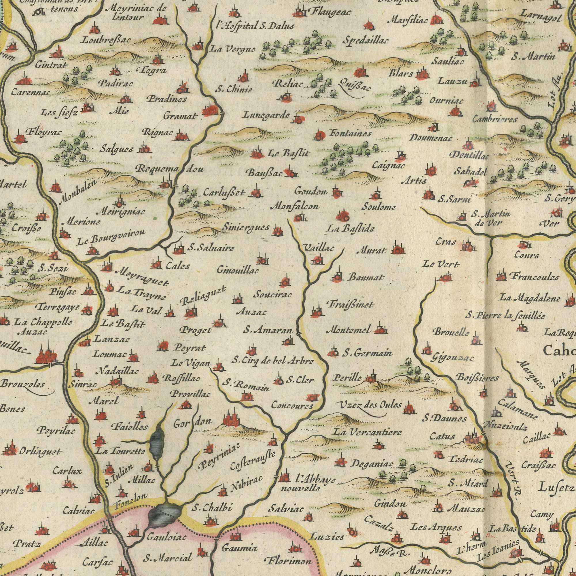
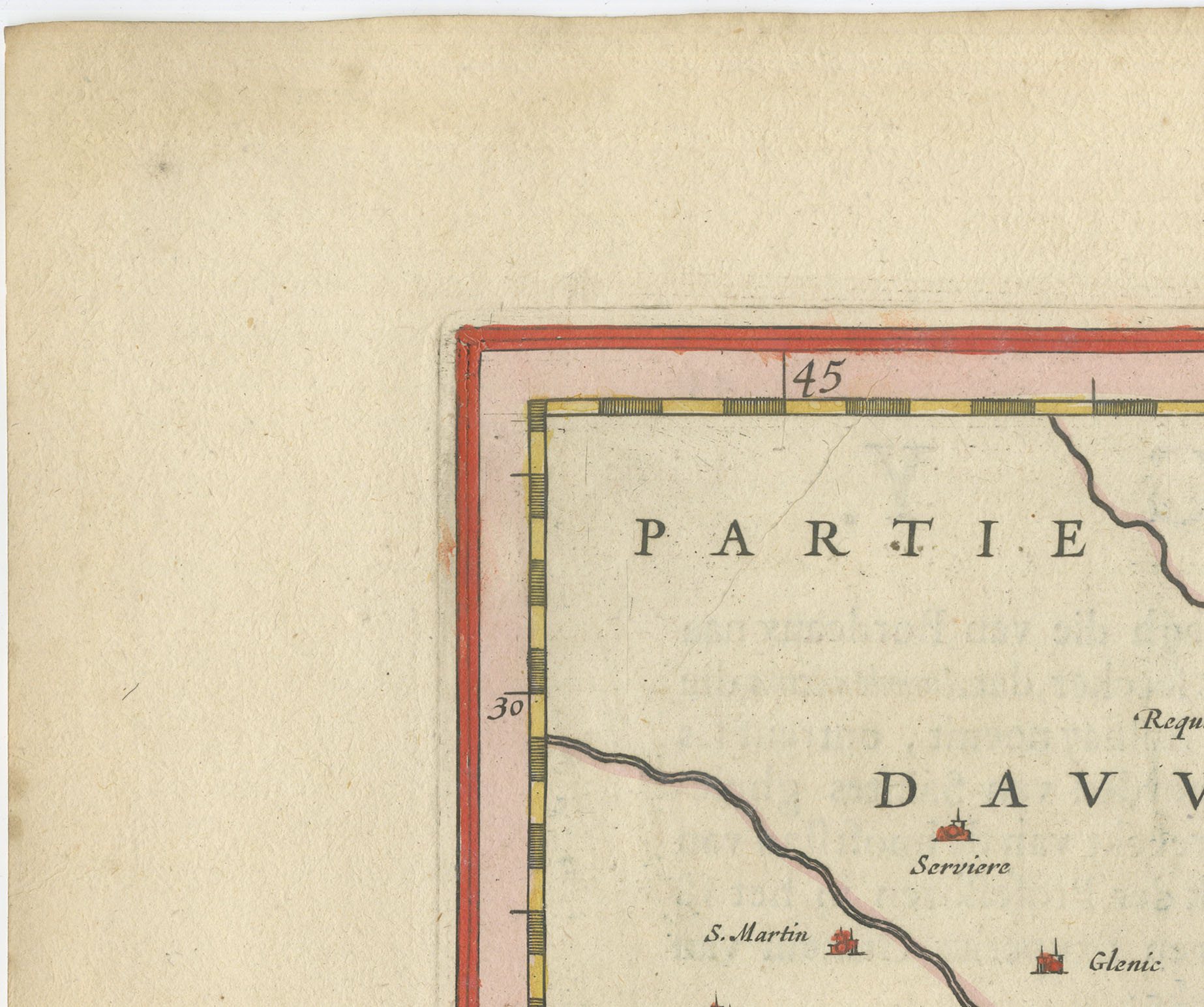
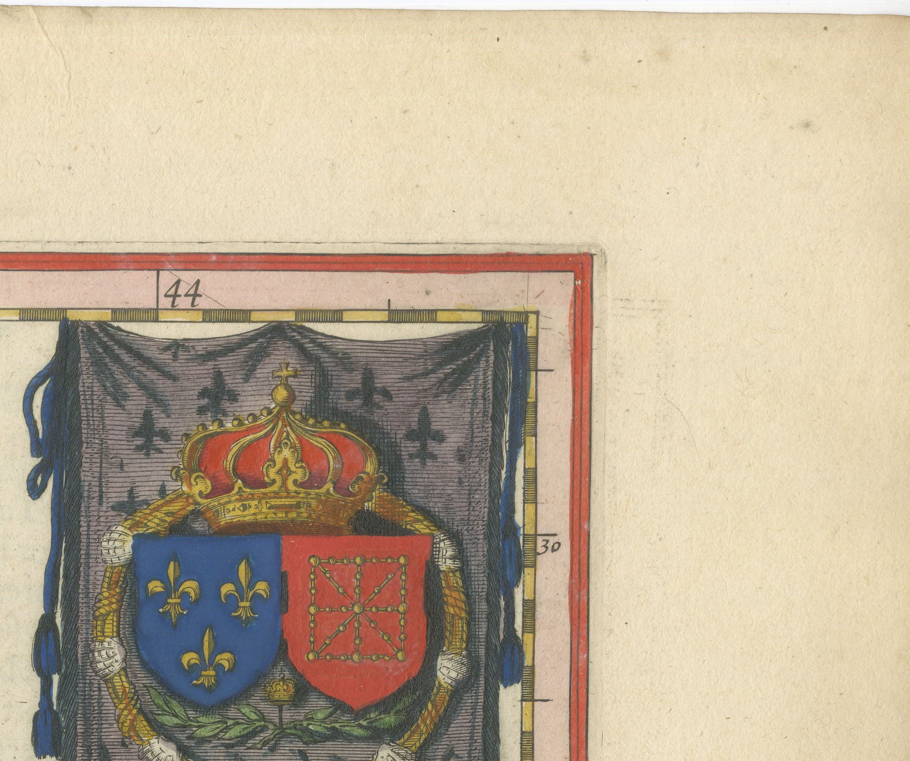
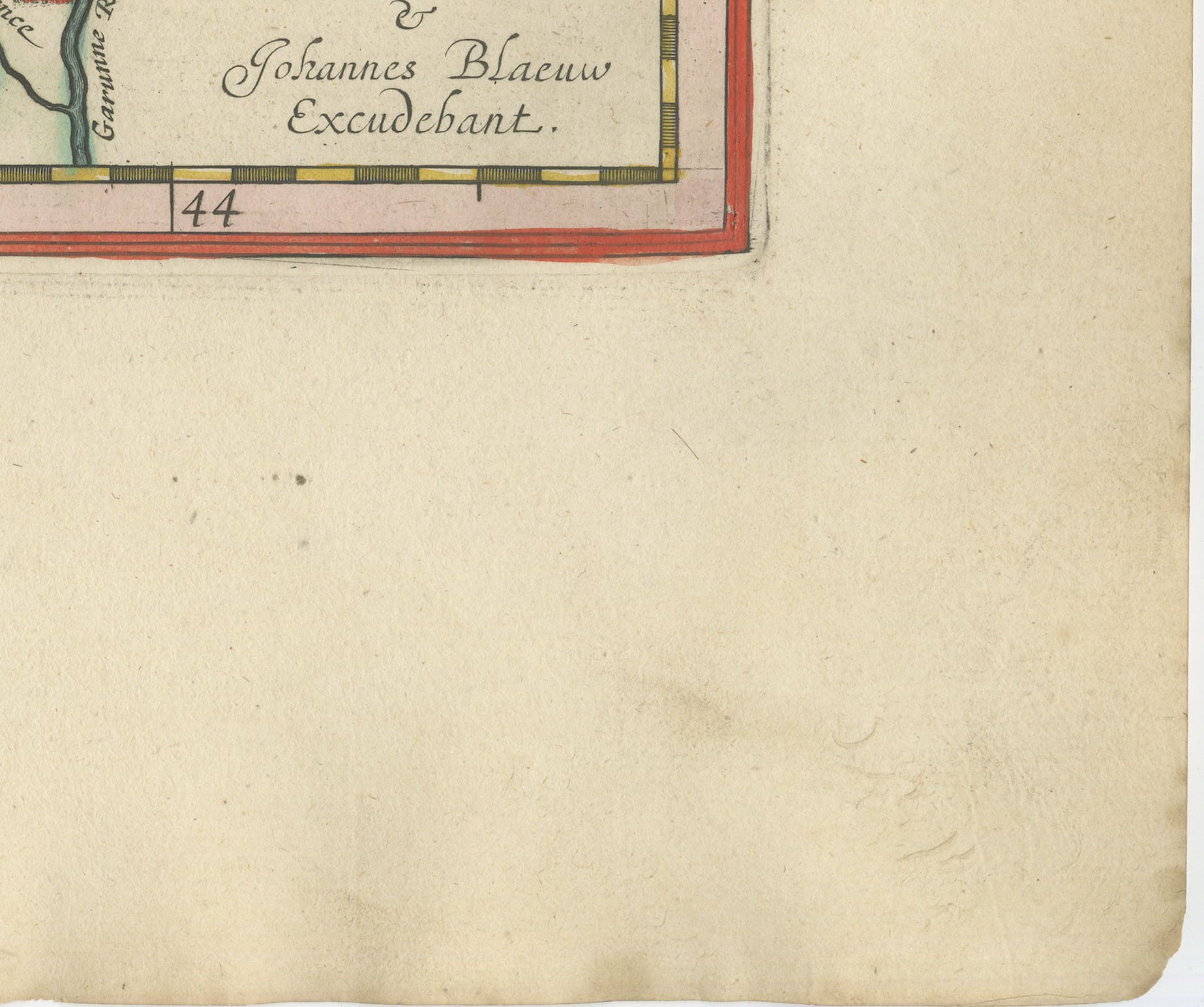
The province of Quercy, titled on the plate Cadurcium, vernacule Querci, with Cahors on its loop of the Lot at the centre of the sheet. Part of the Perigord lies to the west, part of the Rouergue and the pays de Rodez to the east, the Albigeois to the south and Gascogne and Languedoc beyond. The imprint reads Amsterdami, Guilielmus Janssonius et Johannes Blaeu excudebant, the joint imprint of father and son. Quercy is causse country, limestone plateau cut by deep river gorges, and the black wine of Cahors was famous in the Middle Ages long before Bordeaux. A well balanced composition with a good cartouche, and a subject that is less frequently seen than the larger provinces.
The Blaeu house of Amsterdam was the greatest cartographic publisher of the Dutch golden age. Willem Jansz Blaeu began the atlas that his son Joan Blaeu carried to its full extent, and the Dutch text edition, Toonneel des Aerdriicx ofte Nieuwe Atlas, set a standard for engraving, paper and typography that no rival in Europe matched. The copper plates were cut with great delicacy, the title cartouches were designed as ornaments in their own right, and the sheets were printed on heavy laid paper that has survived three and a half centuries remarkably well.
Blaeu maps have been collected continuously since the seventeenth century and are the benchmark against which other Dutch cartography is measured, so a sheet from this atlas is a serious piece of the history of the book as well as a map. A large Blaeu plate is one of the few antique maps that can carry a wall on its own.
The sheet is in good condition for its age, with light toning and scattered small spots in the margins; the centre fold is as issued and the image is clean.
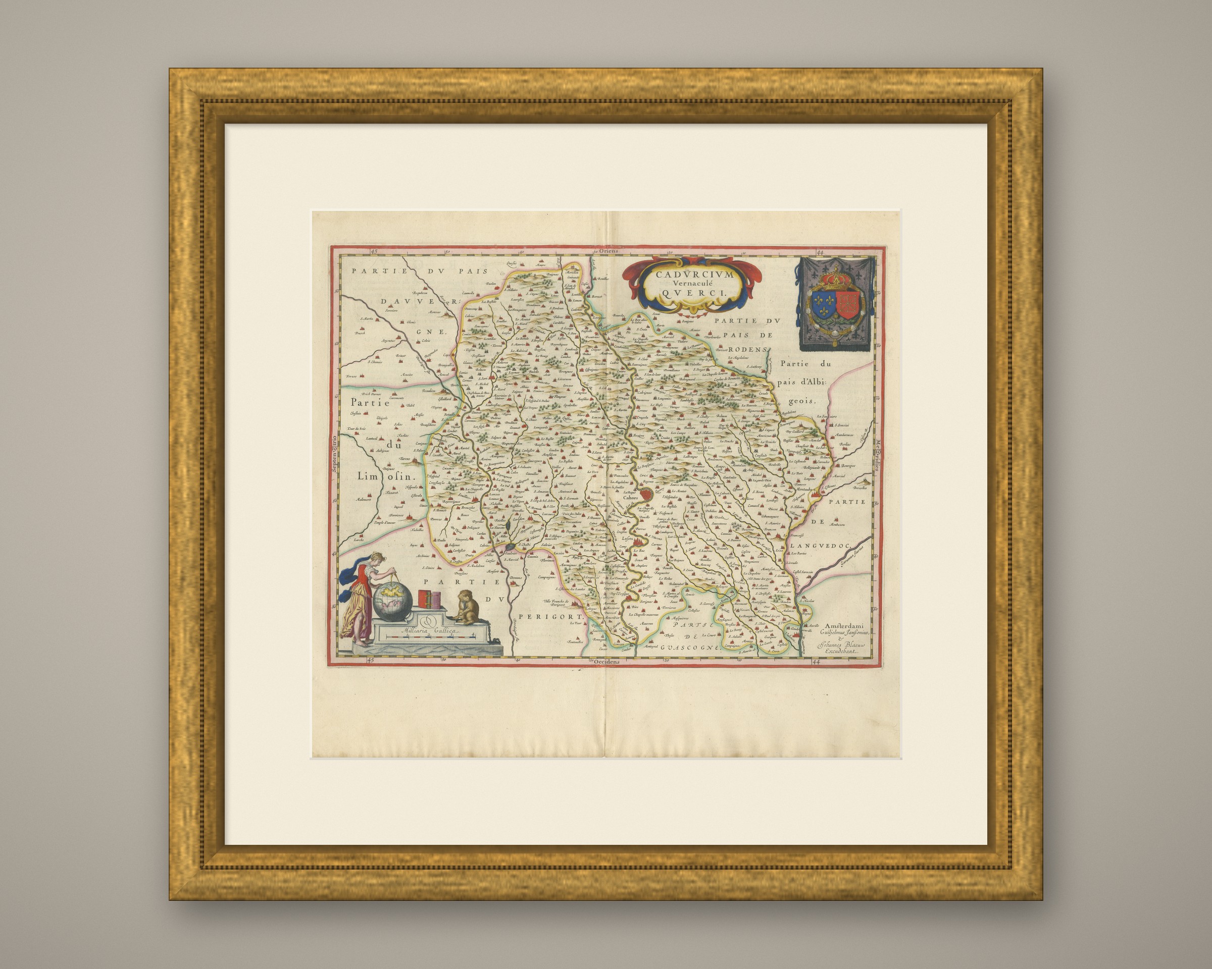
This is an original antique map, not a modern reproduction. This item is sold unframed. Any framed or interior images are shown for presentation and inspiration only, unless the listing explicitly states that the item is sold framed.