About this sheet
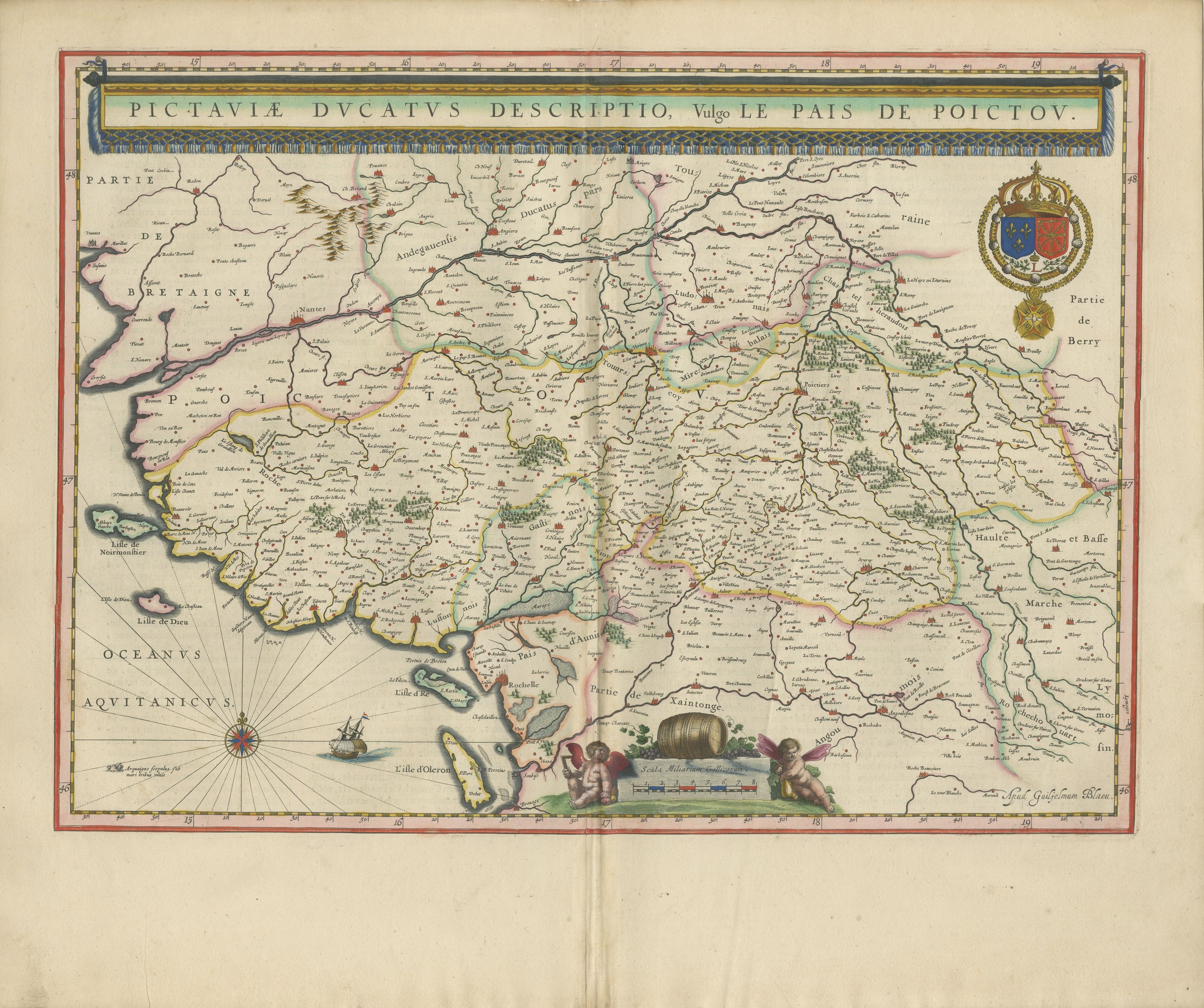
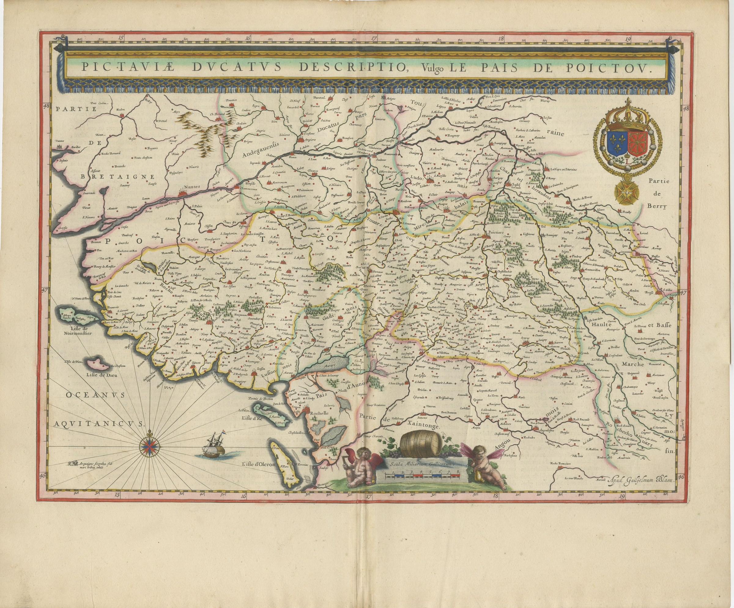
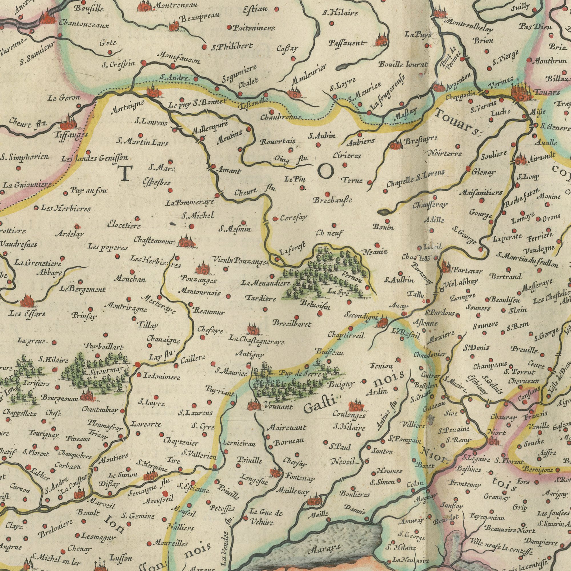
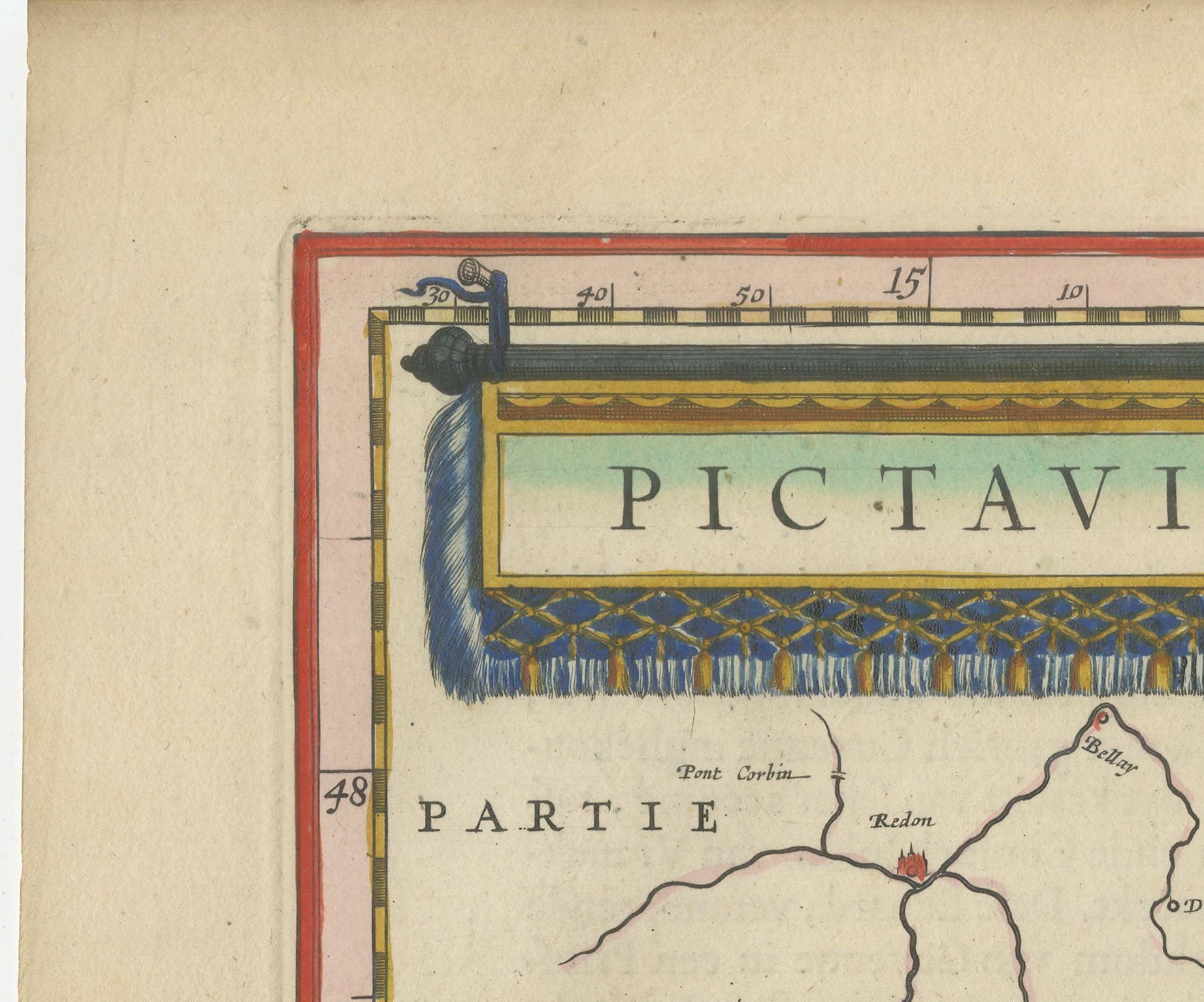
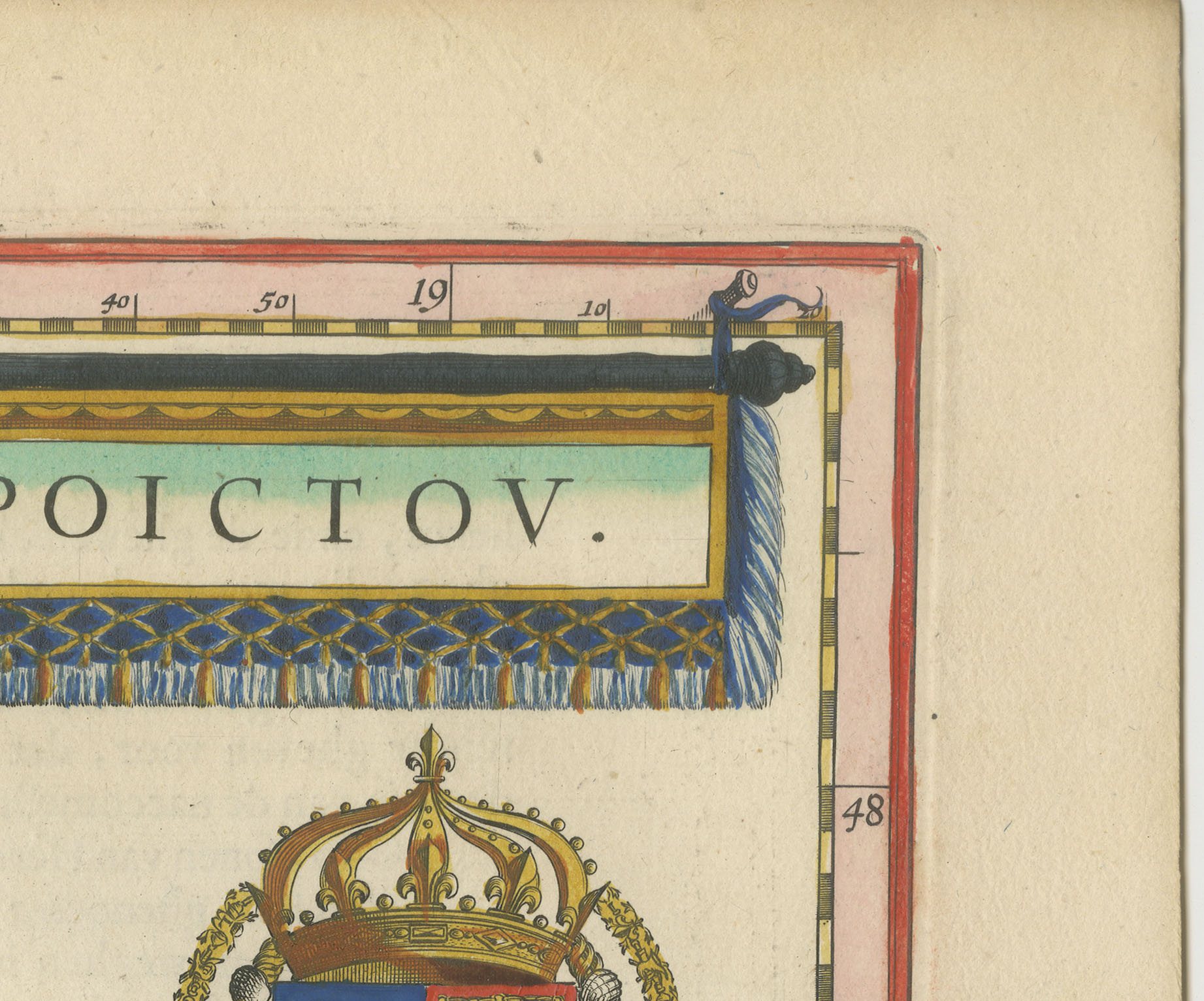
The duchy of Poitou, titled on the plate Pictaviae Ducatus descriptio, vulgo le pais de Poictou. The map runs from part of Brittany in the north west down the Atlantic coast past the isles of Noirmoutier and Dieu to La Rochelle, the pays d'Aunis and the island of Oleron, with Touraine, the Loudunois, the Mirebalais, Berry, the Haute and Basse Marche, the Angoumois and part of the Saintonge lettered around it. A scale of miles is engraved on the sheet. La Rochelle had fallen to Richelieu only fourteen years before this plate was printed and the siege was still recent news in Amsterdam, where the Protestant sympathies of the readership were not in doubt. A large and handsome coastal sheet.
The Blaeu house of Amsterdam was the greatest cartographic publisher of the Dutch golden age. Willem Jansz Blaeu began the atlas that his son Joan Blaeu carried to its full extent, and the Dutch text edition, Toonneel des Aerdriicx ofte Nieuwe Atlas, set a standard for engraving, paper and typography that no rival in Europe matched. The copper plates were cut with great delicacy, the title cartouches were designed as ornaments in their own right, and the sheets were printed on heavy laid paper that has survived three and a half centuries remarkably well.
Blaeu maps have been collected continuously since the seventeenth century and are the benchmark against which other Dutch cartography is measured, so a sheet from this atlas is a serious piece of the history of the book as well as a map. A large Blaeu plate is one of the few antique maps that can carry a wall on its own.
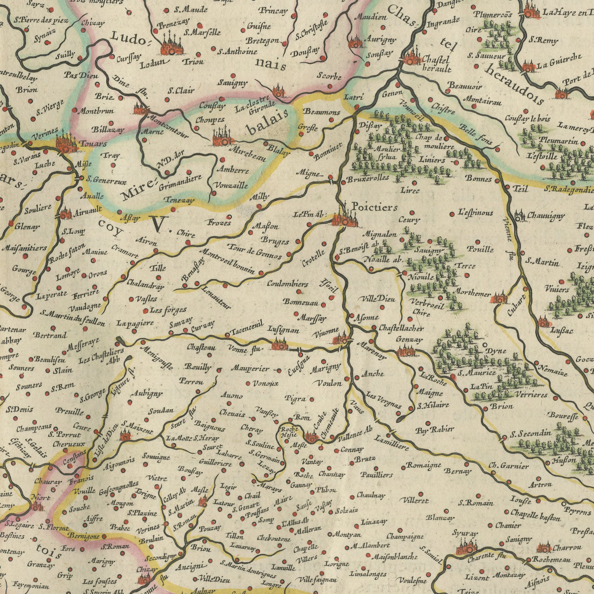
The sheet is in good condition for its age, with the centre fold as issued and light toning and a few spots in the margins; the image itself is clean and bright.
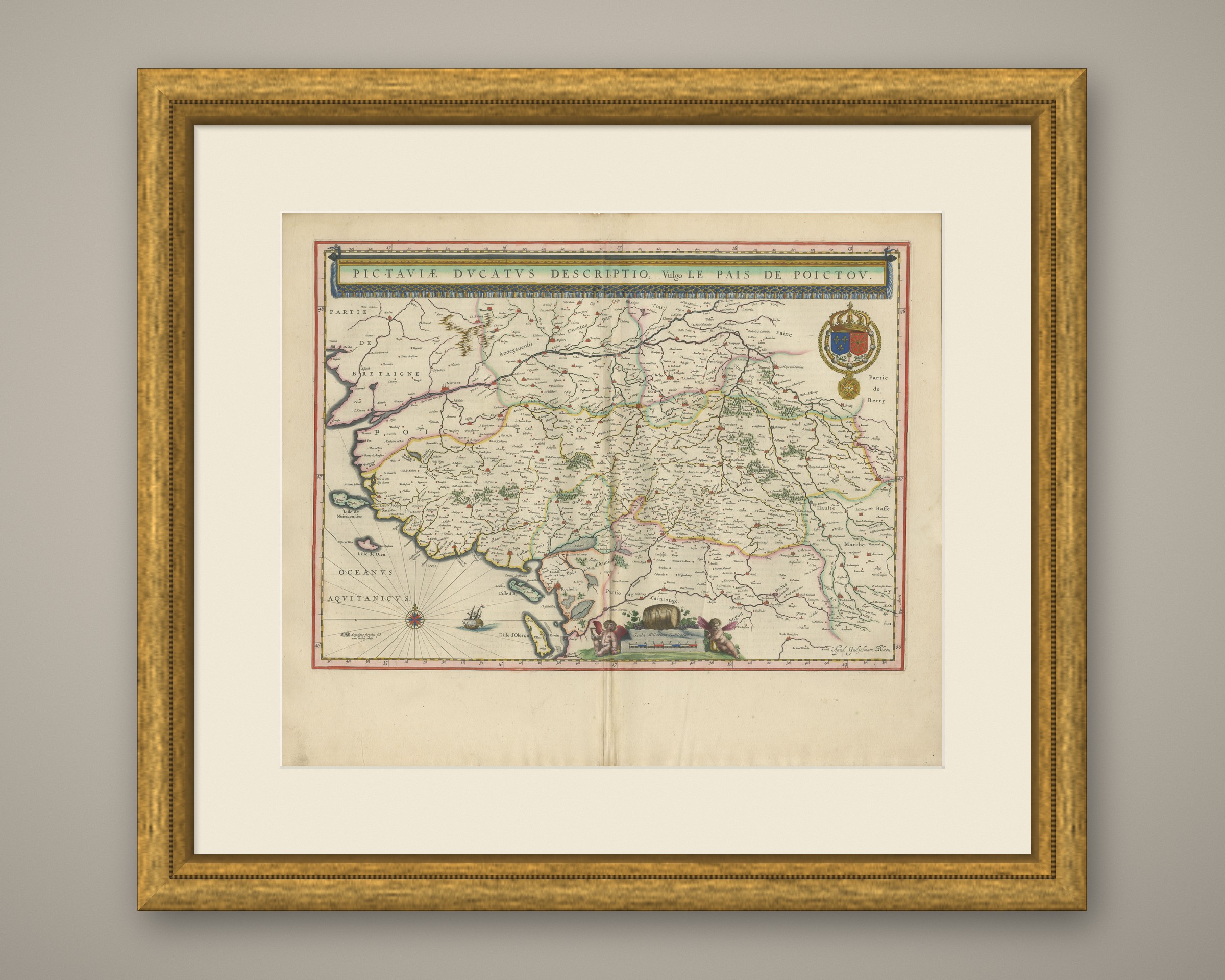
This is an original antique map, not a modern reproduction. This item is sold unframed. Any framed or interior images are shown for presentation and inspiration only, unless the listing explicitly states that the item is sold framed.