About this sheet
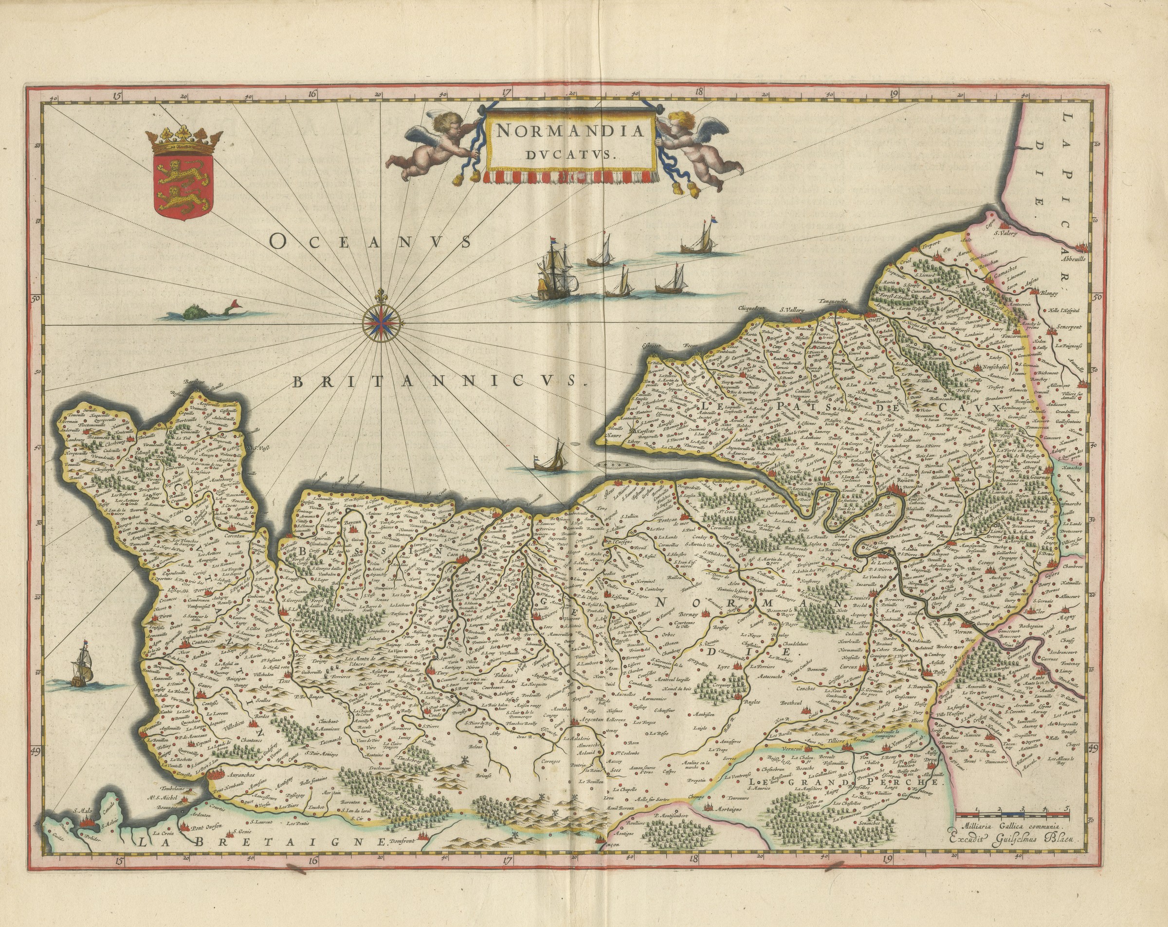
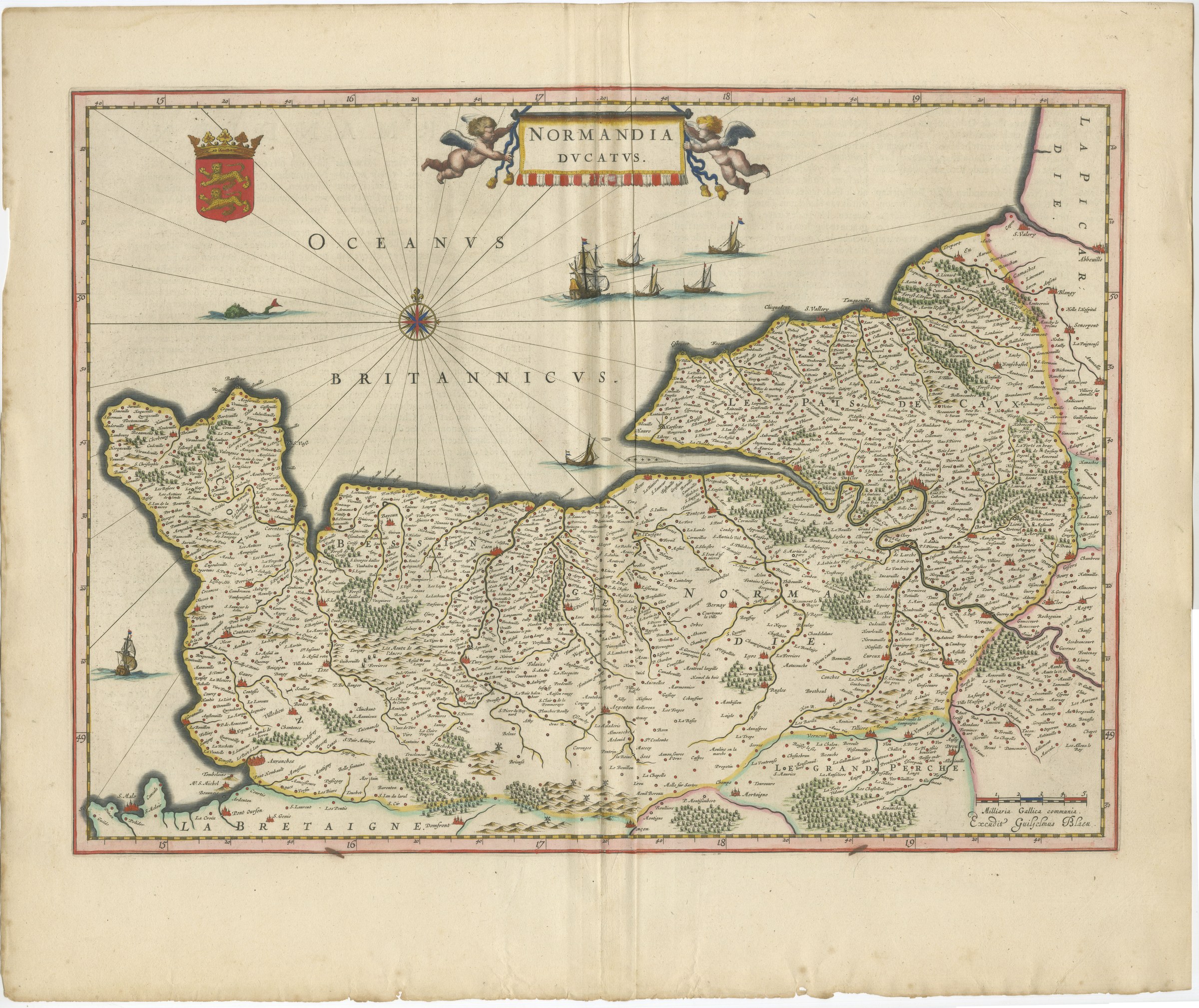
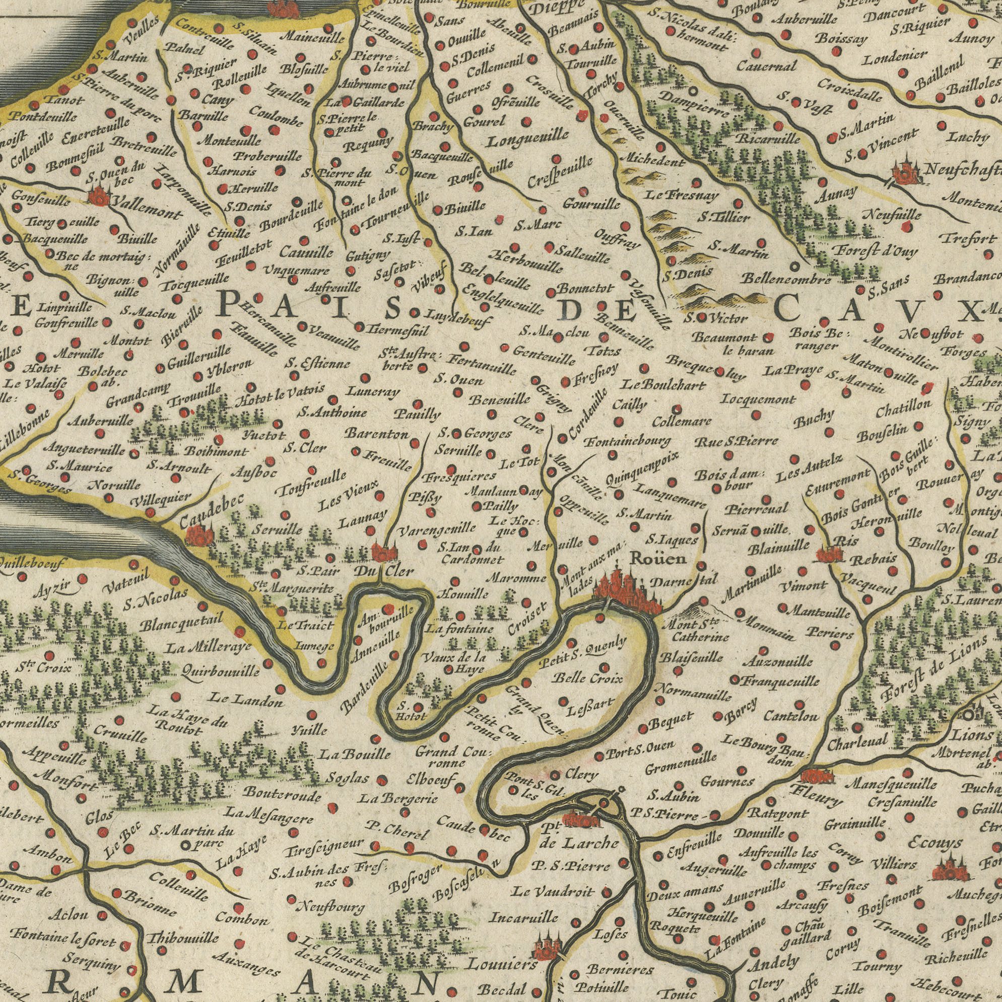
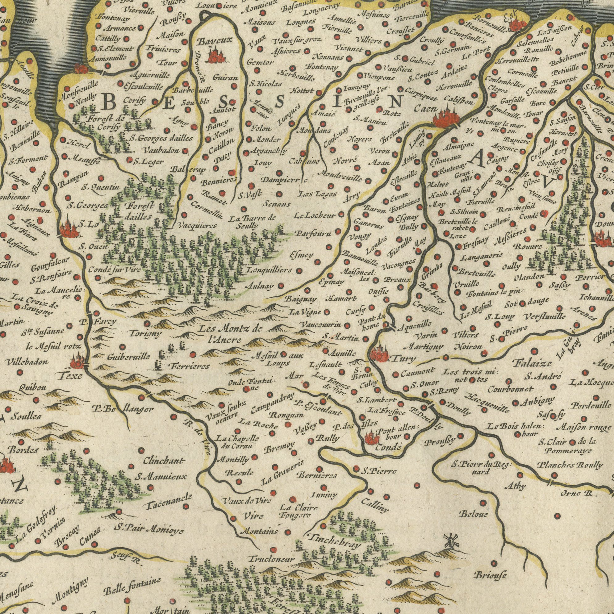
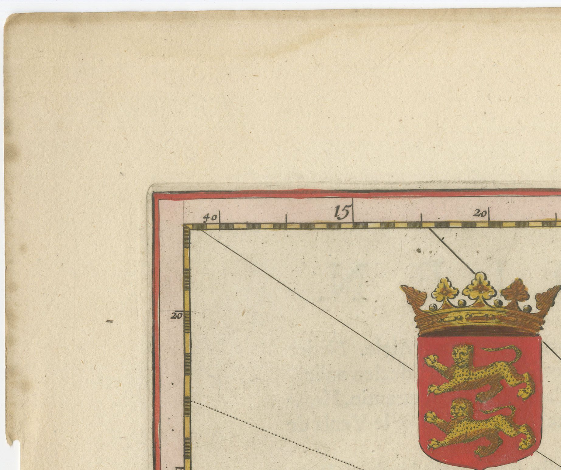
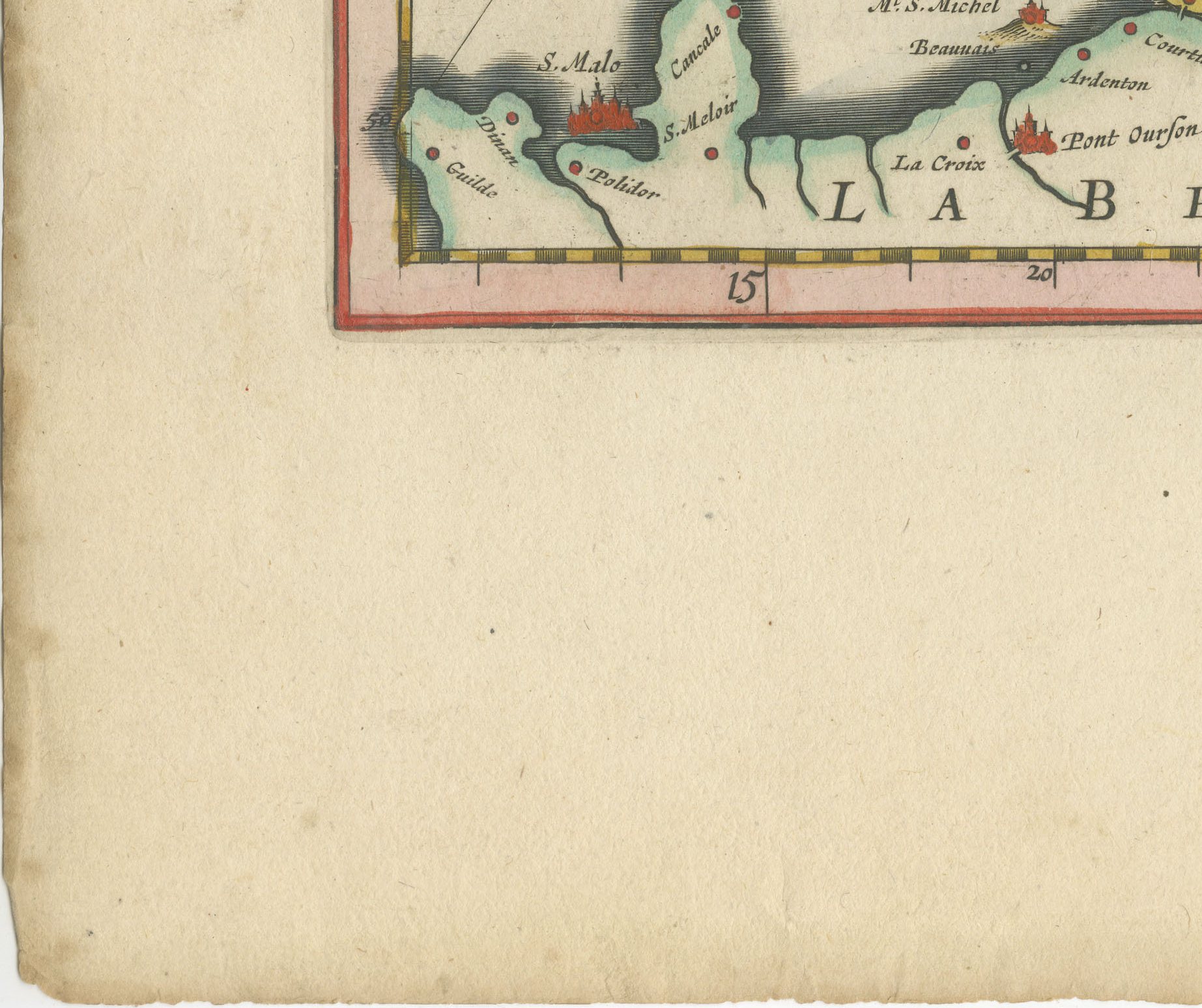
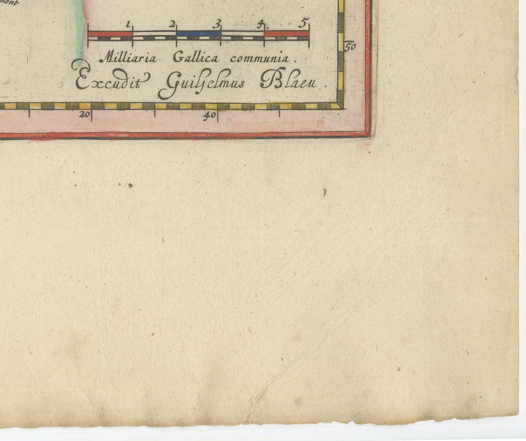
An antique map of Normandy, titled on the plate as Normandia, engraved on copper for Joan Blaeu and published in Amsterdam in 1642 in the Dutch text edition of the atlas, Toonneel des Aerdriicx ofte Nieuwe Atlas. The map covers the whole of the old province of Normandy, from the Channel coast and the mouth of the Seine inland across the plains of Caen and the bocage of the west, taking in Rouen, the provincial capital, with Caen, Bayeux, Evreux, Cherbourg and Coutances, and reaching to the borders of Brittany, Maine, the Ile-de-France and Picardy. Normandy was one of the great provinces of the kingdom of France and one of the most closely surveyed, an English possession for long stretches of the middle ages and the duchy from which the conquest of England was launched, so a seventeenth century map of it carries as much history as geography. The plate is a copper engraving with later hand colour, in the generous format of the Dutch golden age atlases. A Blaeu map of Normandy has an immediate buyer in anyone with a connection to Rouen, Caen or the Normandy coast, and it is handsome enough to hang alone above a chimneypiece.
The Blaeu house of Amsterdam was the greatest cartographic publisher of the Dutch golden age. Willem Jansz Blaeu began the atlas that his son Joan Blaeu carried to its full extent, and the Dutch text edition, Toonneel des Aerdriicx ofte Nieuwe Atlas, set a standard for engraving, paper and typography that no rival in Europe matched. The copper plates were cut with great delicacy, the title cartouches were designed as ornaments in their own right, and the sheets were printed on heavy laid paper that has survived three and a half centuries remarkably well.
Blaeu maps have been collected continuously since the seventeenth century and are the benchmark against which other Dutch cartography is measured, so a sheet from this atlas is a serious piece of the history of the book as well as a map. A large Blaeu plate is one of the few antique maps that can carry a wall on its own.
The sheet is in good condition for its age, with the centre fold as issued and light toning and a few spots in the margins; the image itself is clean and bright.
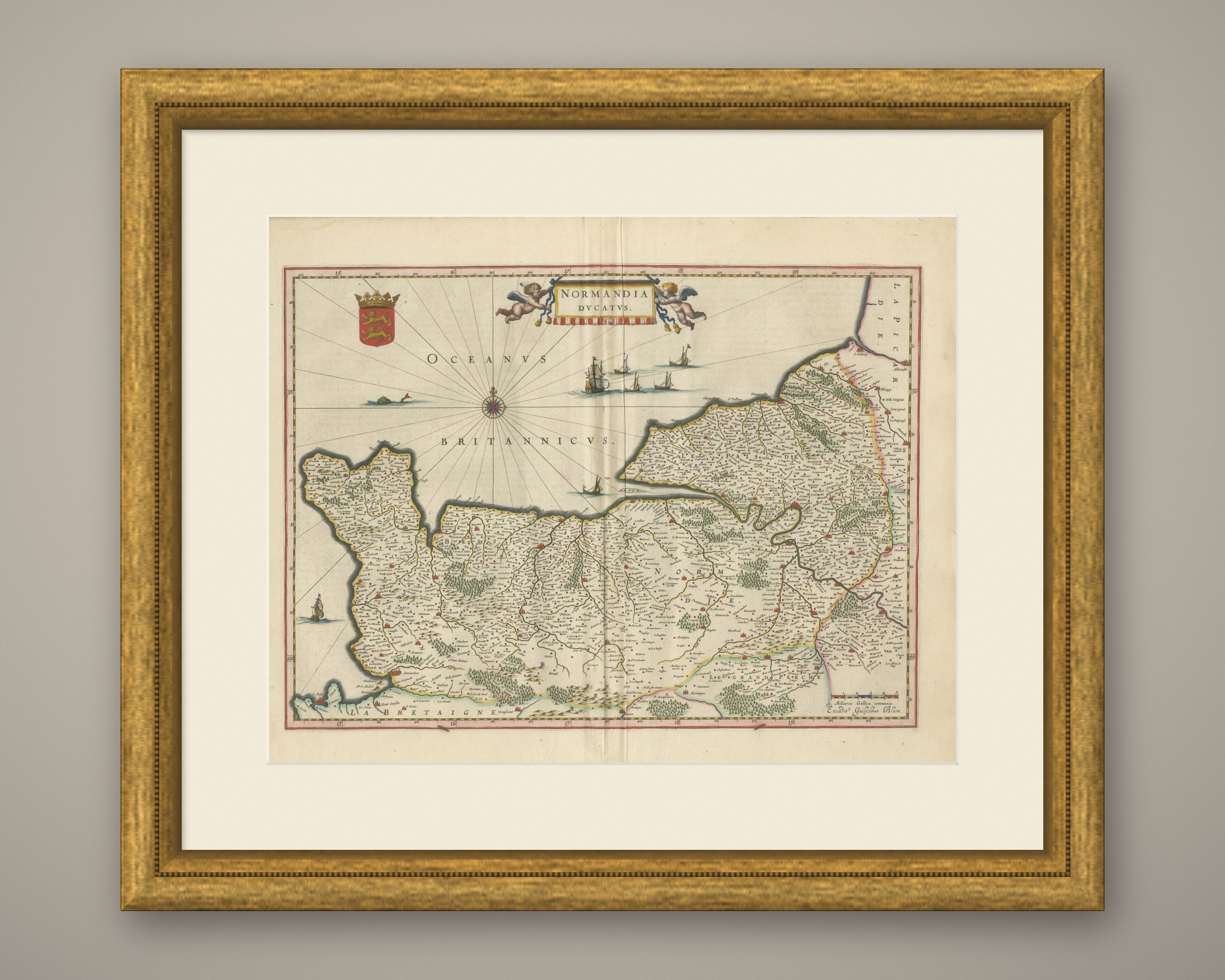
This is an original antique map, not a modern reproduction. This item is sold unframed. Any framed or interior images are shown for presentation and inspiration only, unless the listing explicitly states that the item is sold framed.