About this sheet
17th Century Blaeu Map of France, Gallia, Hand Colored, c.1642
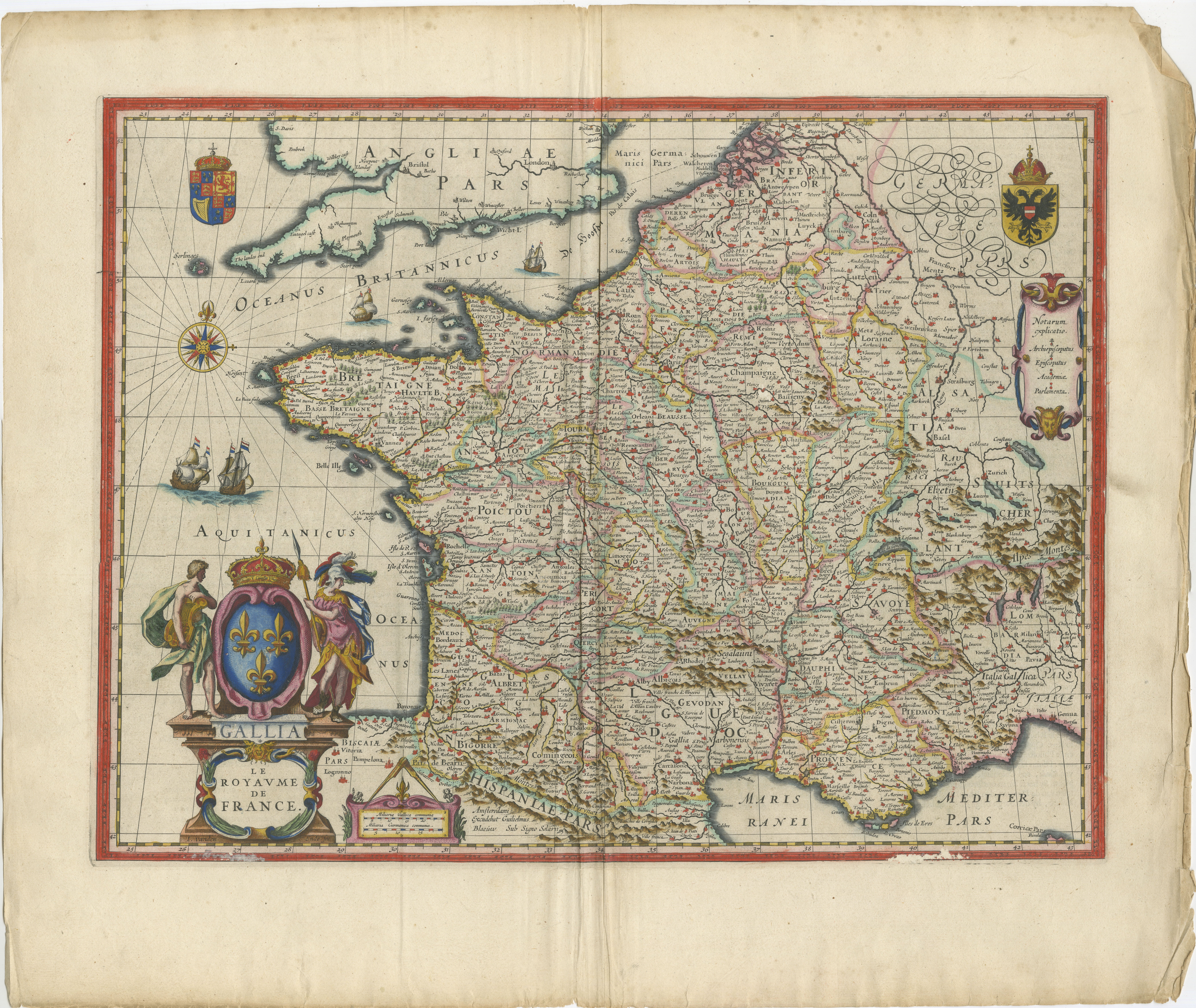
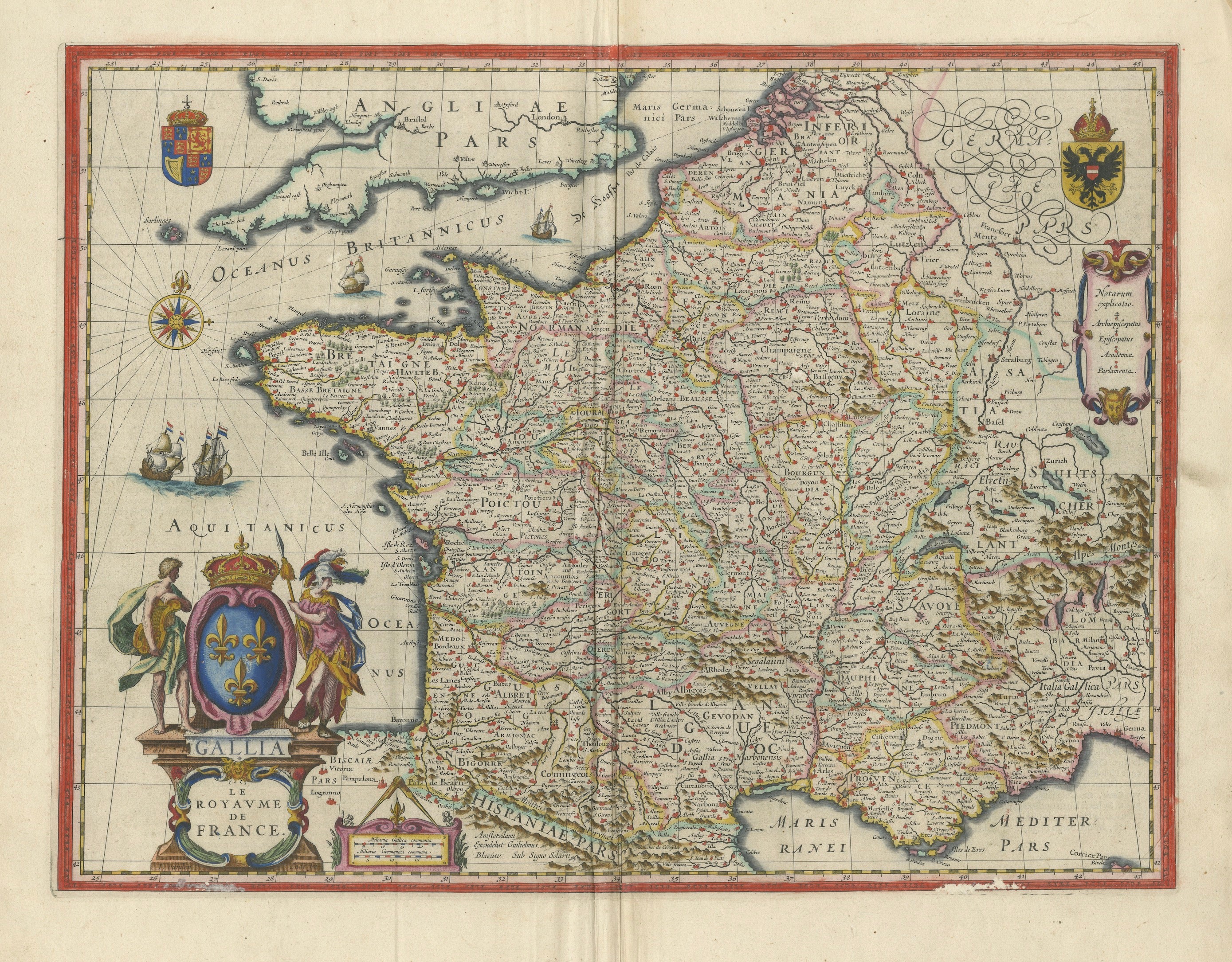
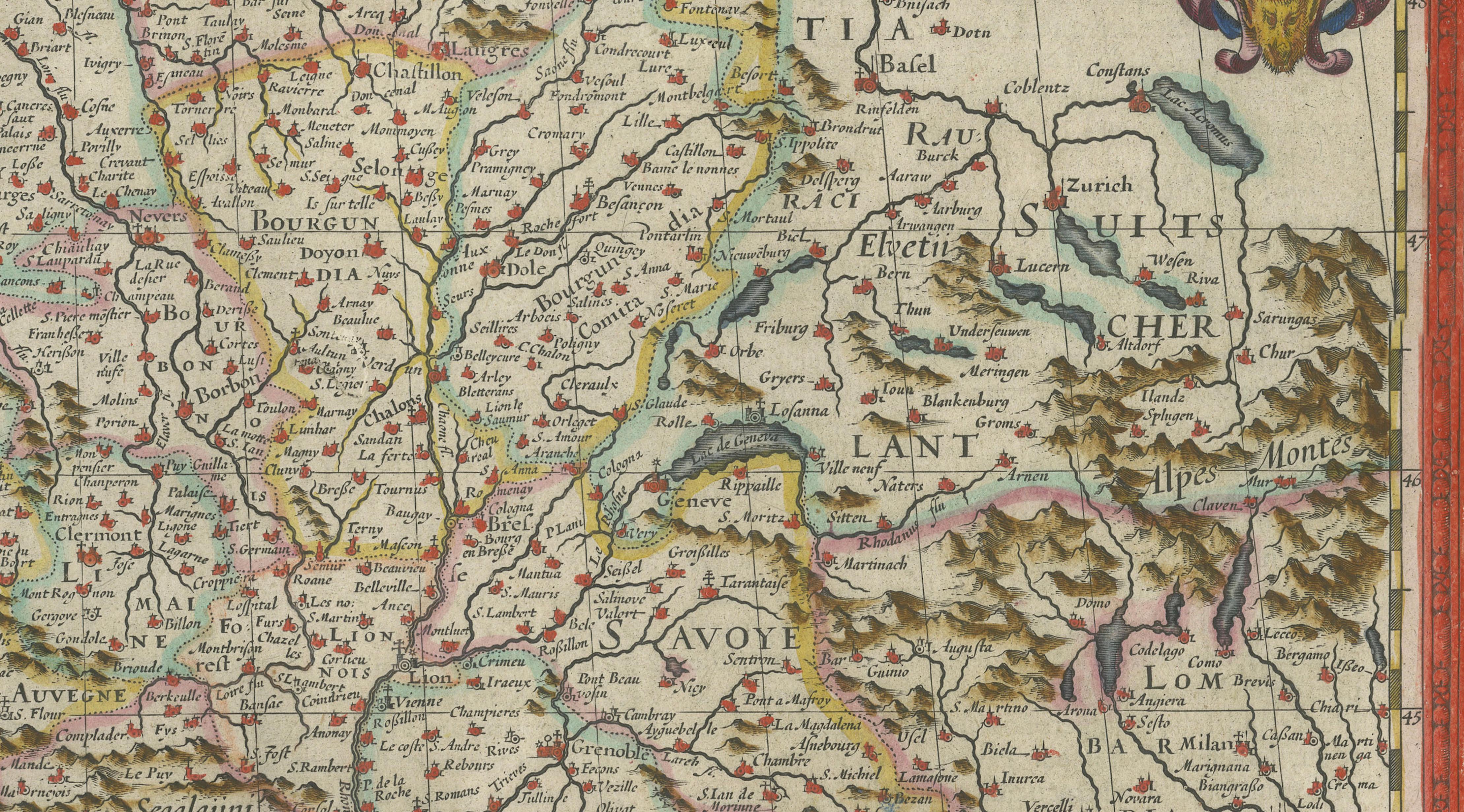
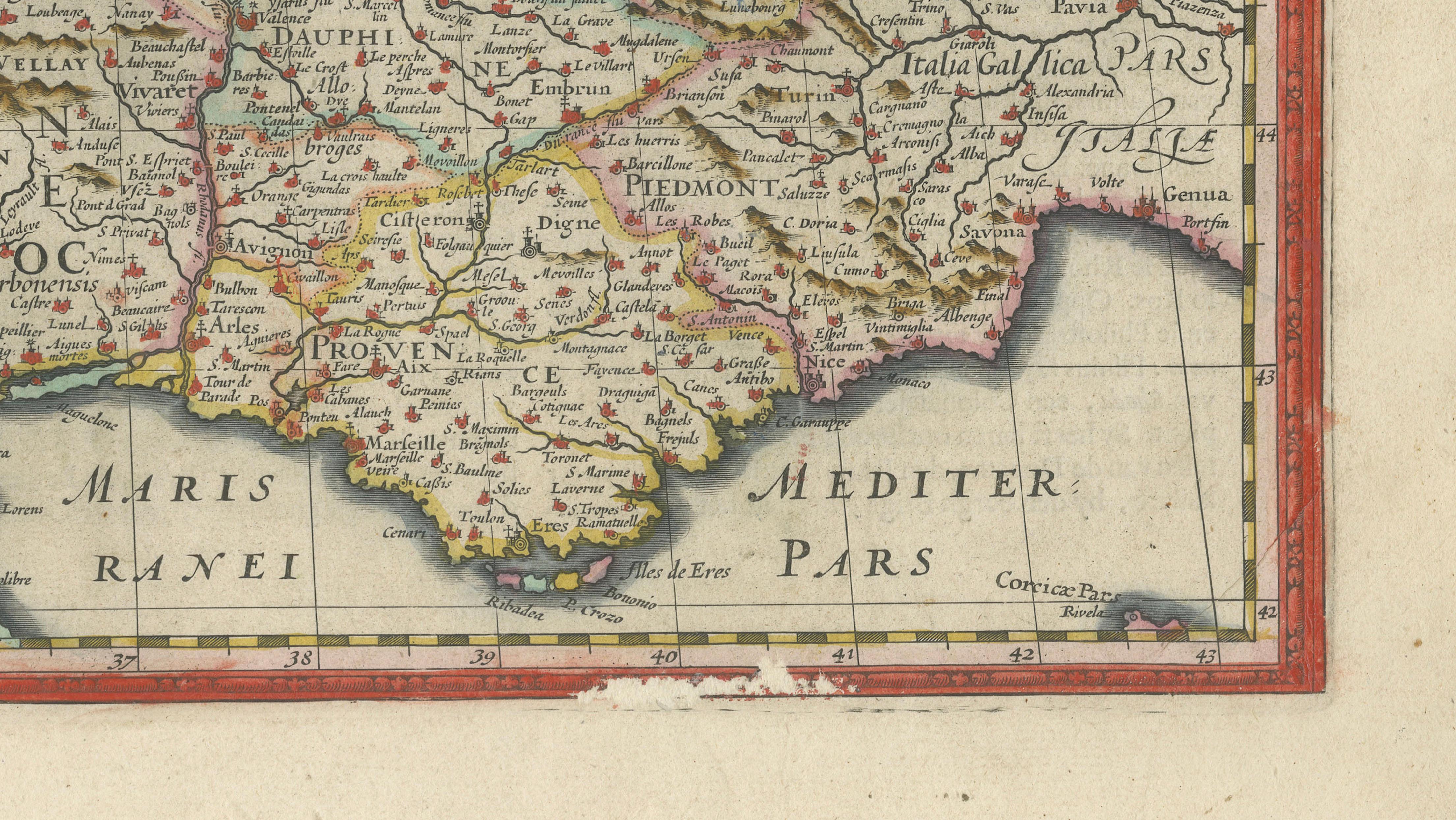
A beautifully engraved and highly decorative map of France, titled “Gallia,” published by Willem Jansz. Blaeu in Amsterdam around 1642, during the height of the Dutch Golden Age of cartography. This map originates from Blaeu’s celebrated atlas series, widely regarded as one of the finest achievements in 17th-century mapmaking.
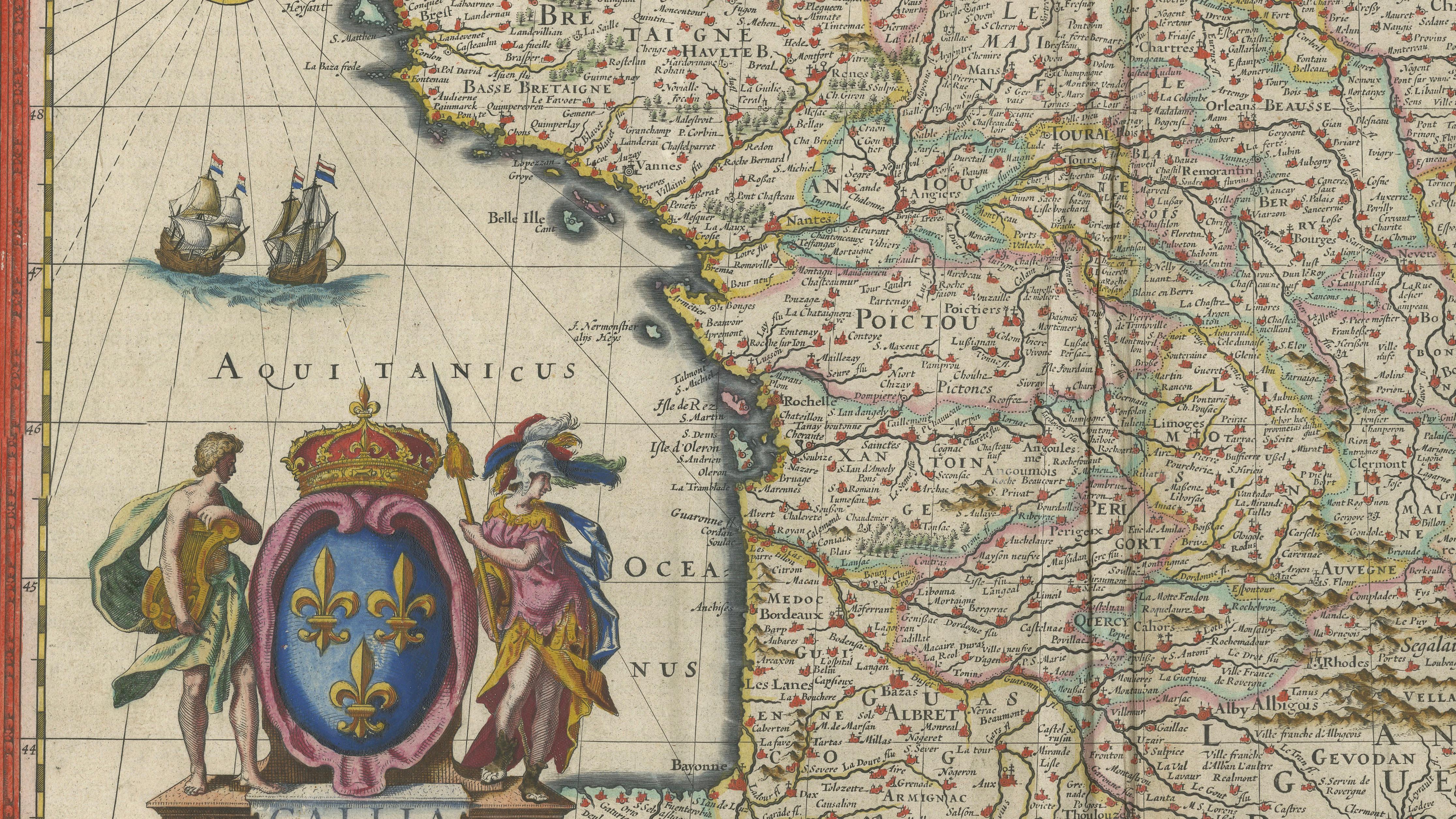
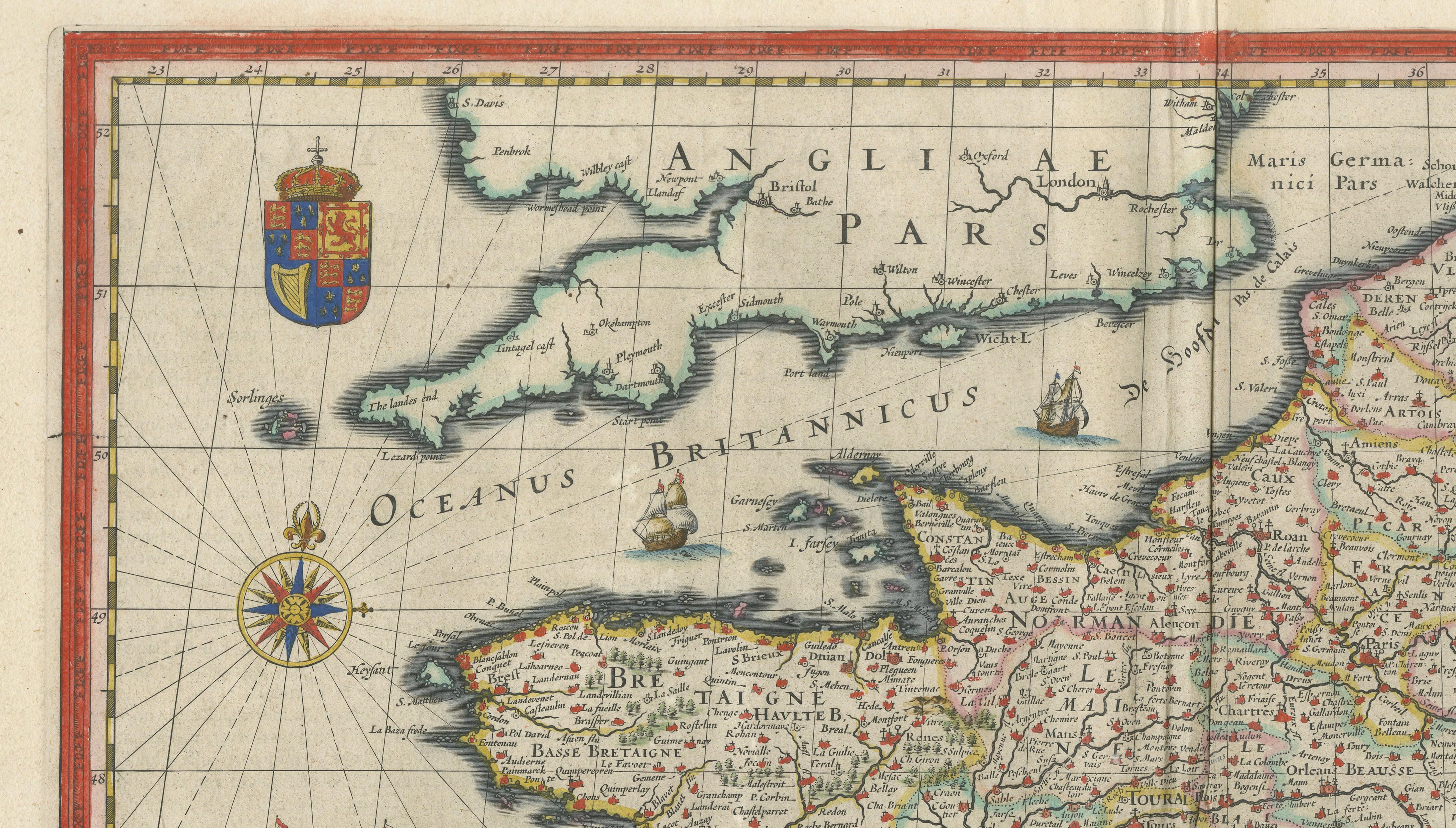
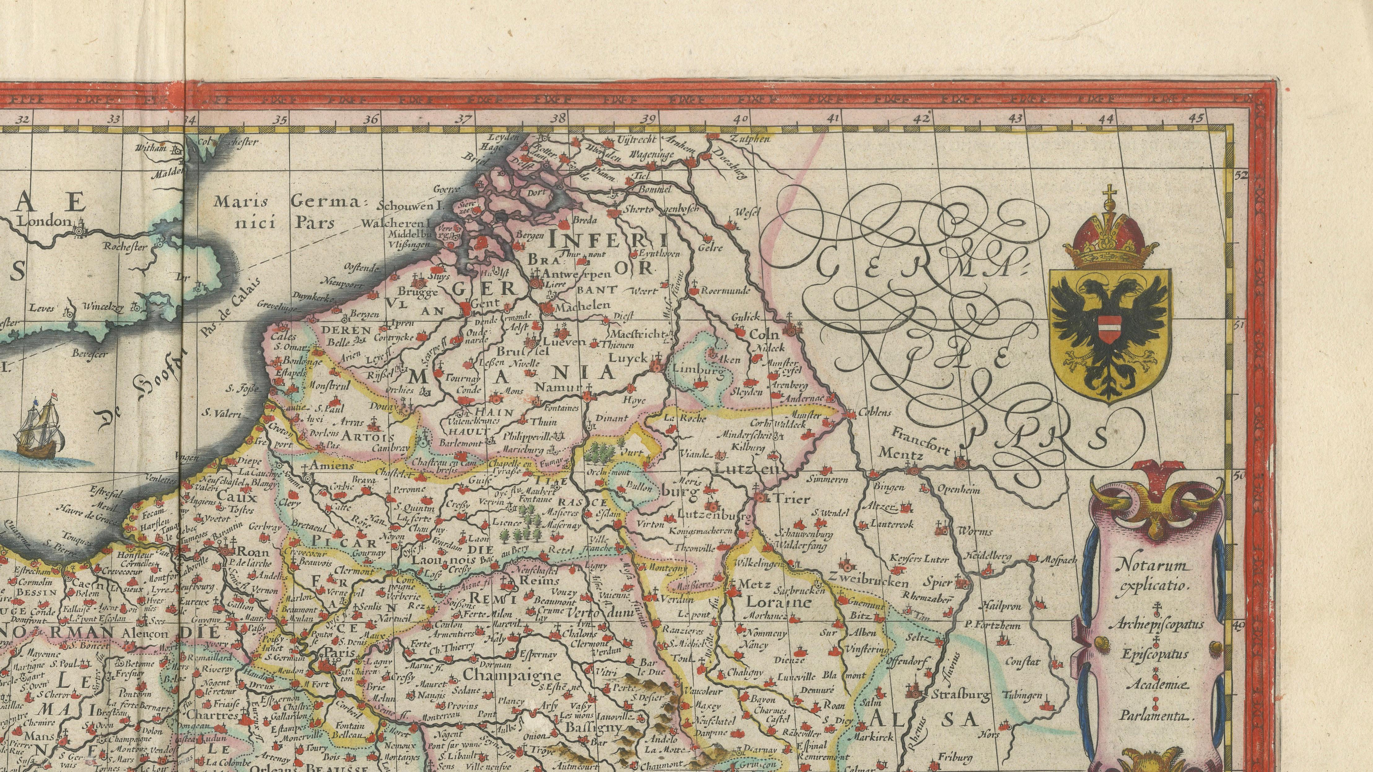
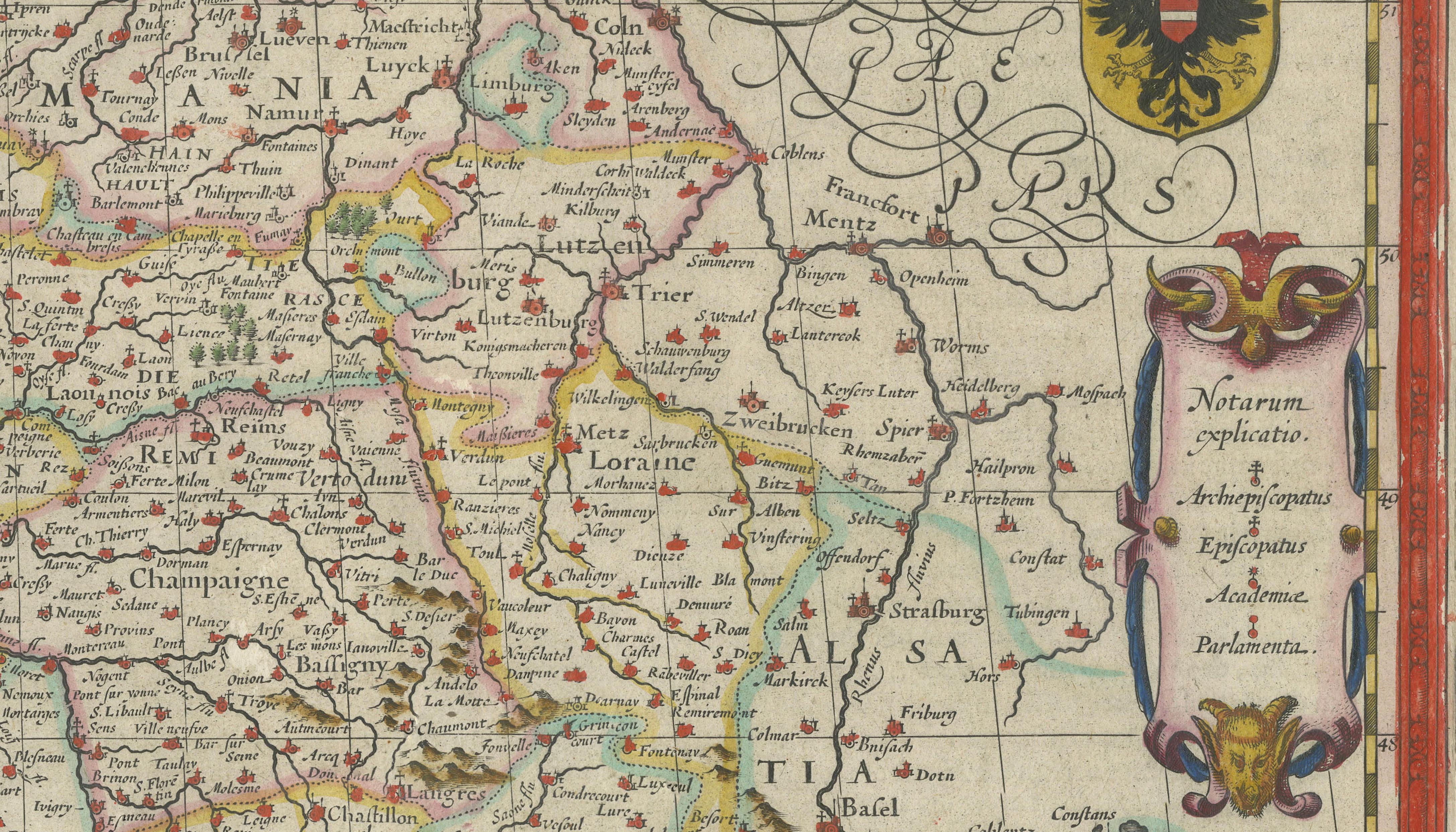
The composition presents France in exceptional detail, with a dense network of cities, rivers, and regional divisions, all rendered with remarkable clarity and precision. The engraving is further enriched by original hand color, enhancing both its readability and decorative appeal.
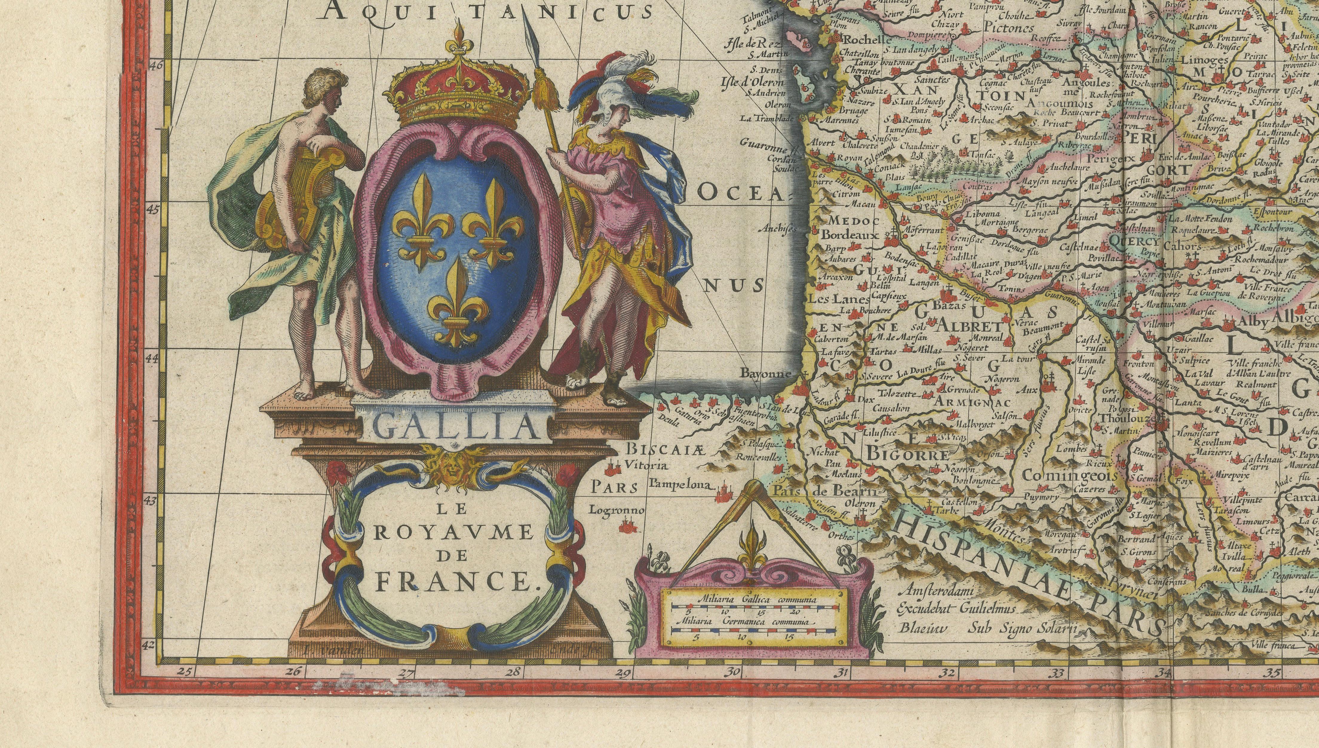
Particularly striking is the elaborate figural cartouche, featuring classical allegorical figures and heraldic elements, a hallmark of Blaeu’s refined aesthetic. Additional decorative features include sailing ships, a compass rose, and finely engraved coastal outlines, all contributing to the visual richness of the piece.
As both a historical document and a decorative object, this map embodies the ambition and craftsmanship of the Dutch Golden Age. It was produced at a time when cartography was not only a scientific pursuit but also a statement of cultural prestige and artistic excellence.
Today, Blaeu maps are among the most sought-after works in early cartography, prized for their balance of accuracy, elegance, and decorative sophistication. This example would make a superb addition to any collection or a striking focal point in a refined interior.
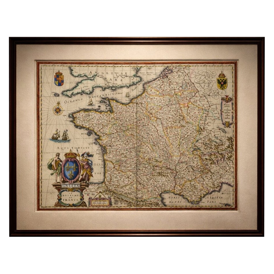
This example is an original 17th-century copperplate engraving. It is not a modern reproduction. Any images showing the print framed are for visual inspiration only. The map is supplied unframed.
Condition report:
Good condition for its age, with light age toning and some minor spotting. Central fold as issued. Margins slightly irregular, as typical for atlas sheets. Plate mark visible. Overall well-preserved with strong impression and attractive original hand color.
Framing tips:
This map displays beautifully in a dark walnut or ebonized frame with a wide warm ivory mat, enhancing both the hand coloring and the decorative cartouche. For a more contemporary look, a thin black frame with a neutral museum mount creates a clean, gallery-style presentation. Ideal for studies, libraries, or classic interiors.
Keywords:
France map, Blaeu France, Gallia map, antique France map, 17th century map, Dutch Golden Age cartography, Willem Blaeu, Atlas Novus, Paris map, Normandy, Brittany, Provence, Burgundy, Loire Valley, Bordeaux, Lyon, Marseille, Toulouse, Aquitaine, Languedoc, Champagne, Picardy, Île-de-France, European map, decorative map, cartouche map, hand colored map, antique atlas map, early modern cartography
Technique: Copperplate engraving with original hand color
Maker: Willem Jansz. Blaeu, Amsterdam, c.1642