1728 Map of Batavia Castle & City, Java – Van der Aa after 1669
€ 880
One of a kind: this is the sheet in the photographs. Ships from Langweer, the Netherlands.
Date
1728
Sheet size
36.6 × 46.5 cm (14.4 × 18.3 in)
Condition
Good
Reference
BG-14076-5
Condition
Very good condition for its age. Strong impression on clean paper with wide margins. No staining, tears, or repairs noted. Verso is blank. Very light age toning and minimal handling marks, consistent with careful preservation.
About this sheet
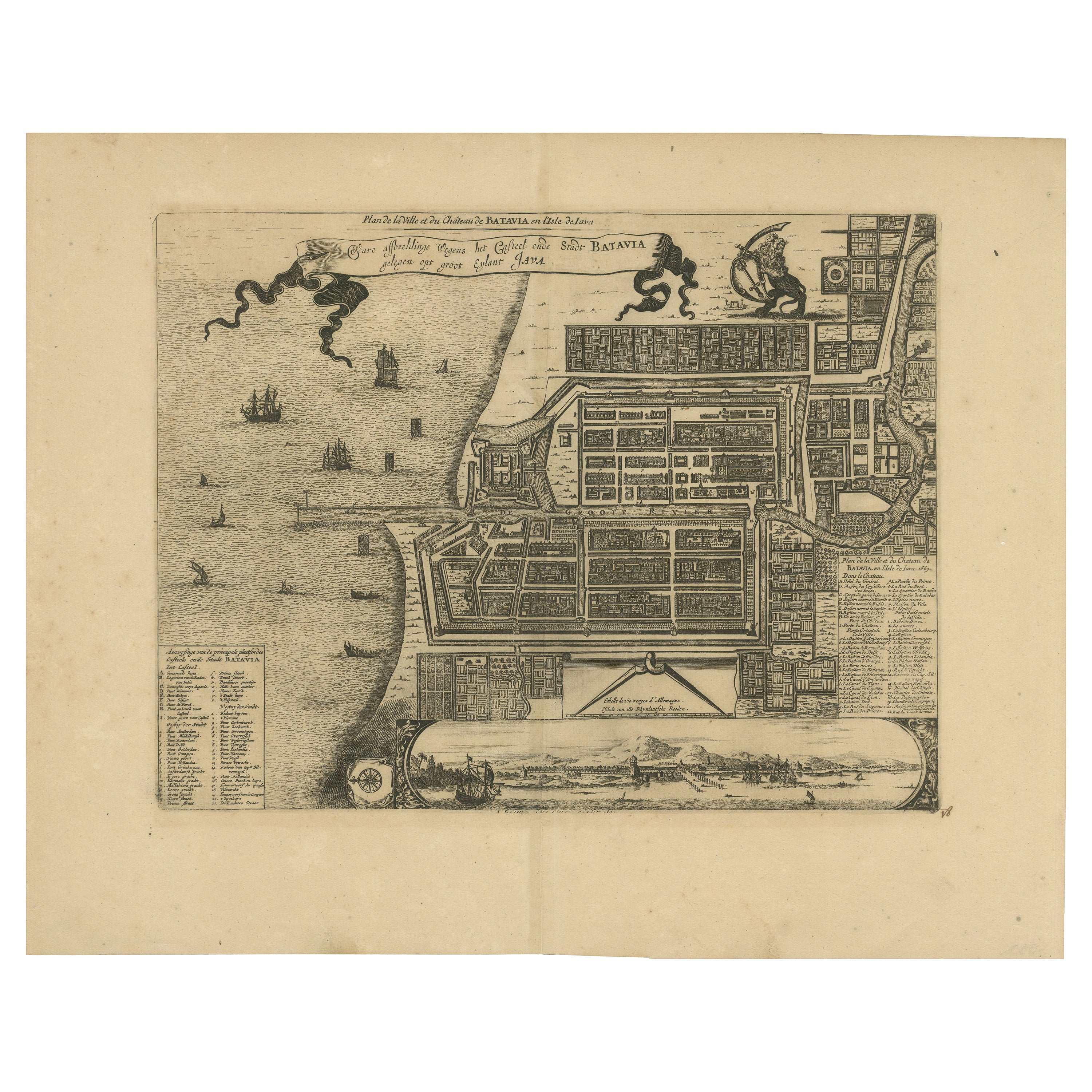
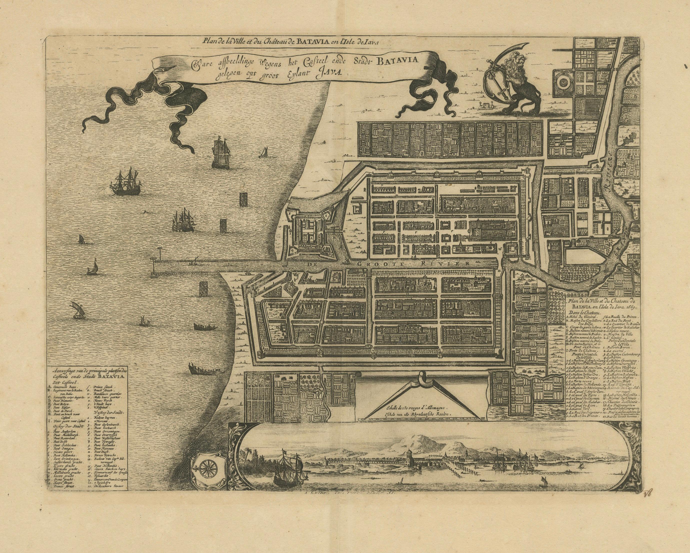
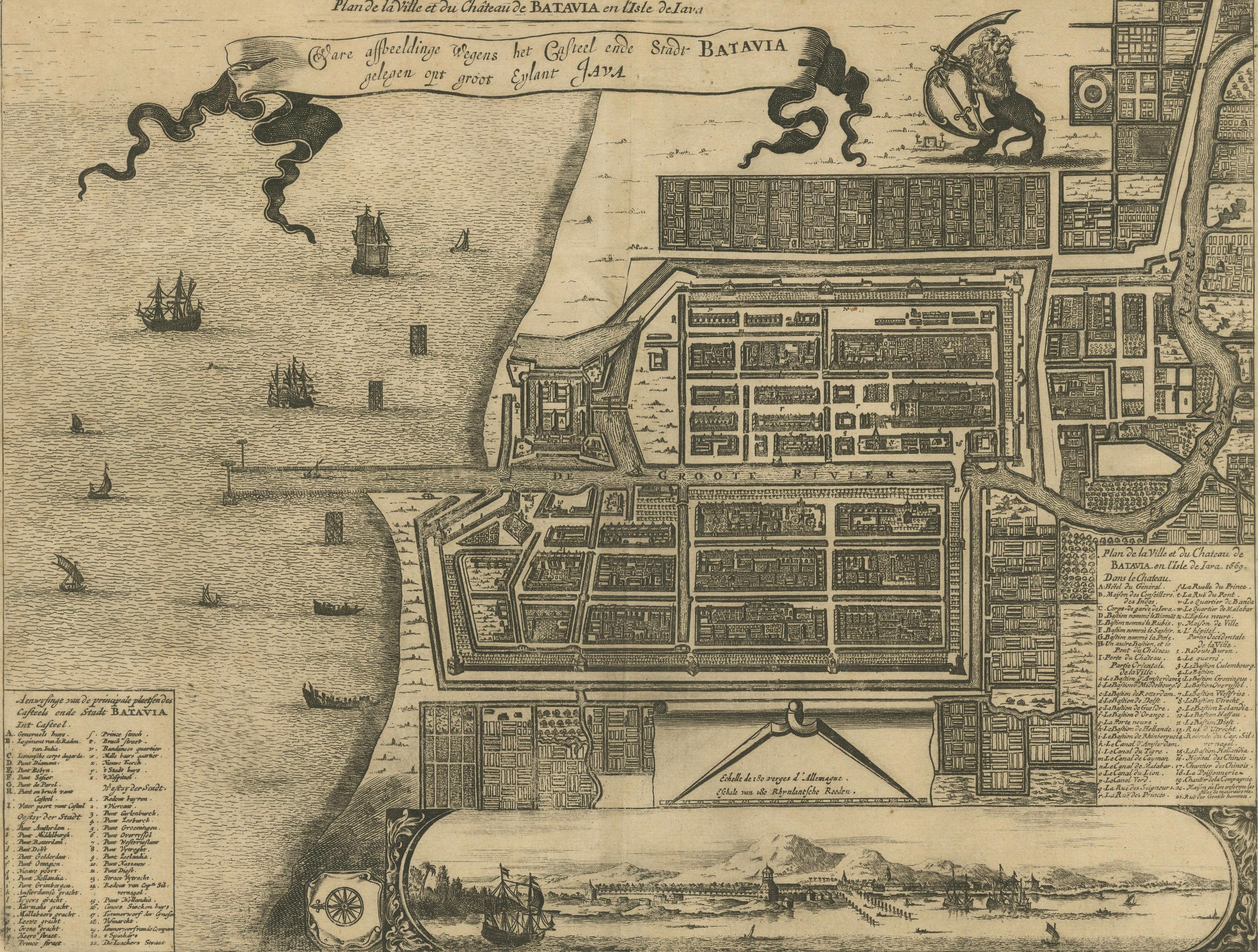
1728 Map of Batavia Castle & City, Java – Van der Aa after 1669
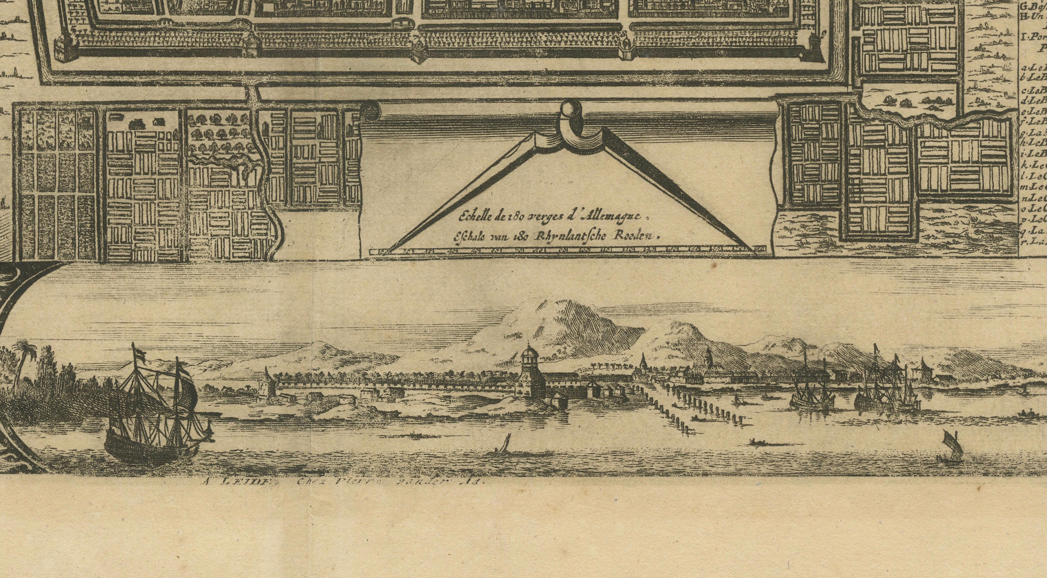
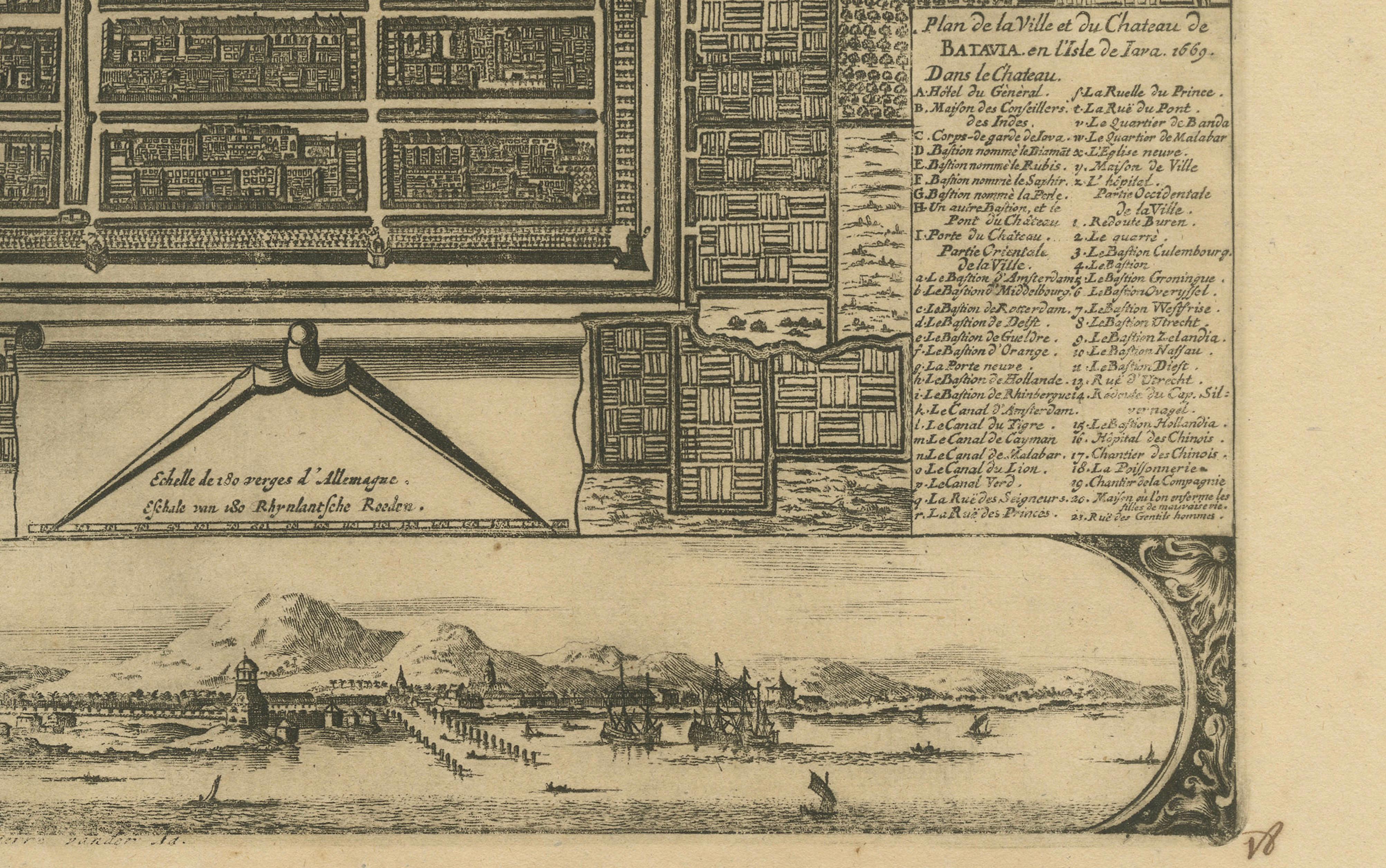
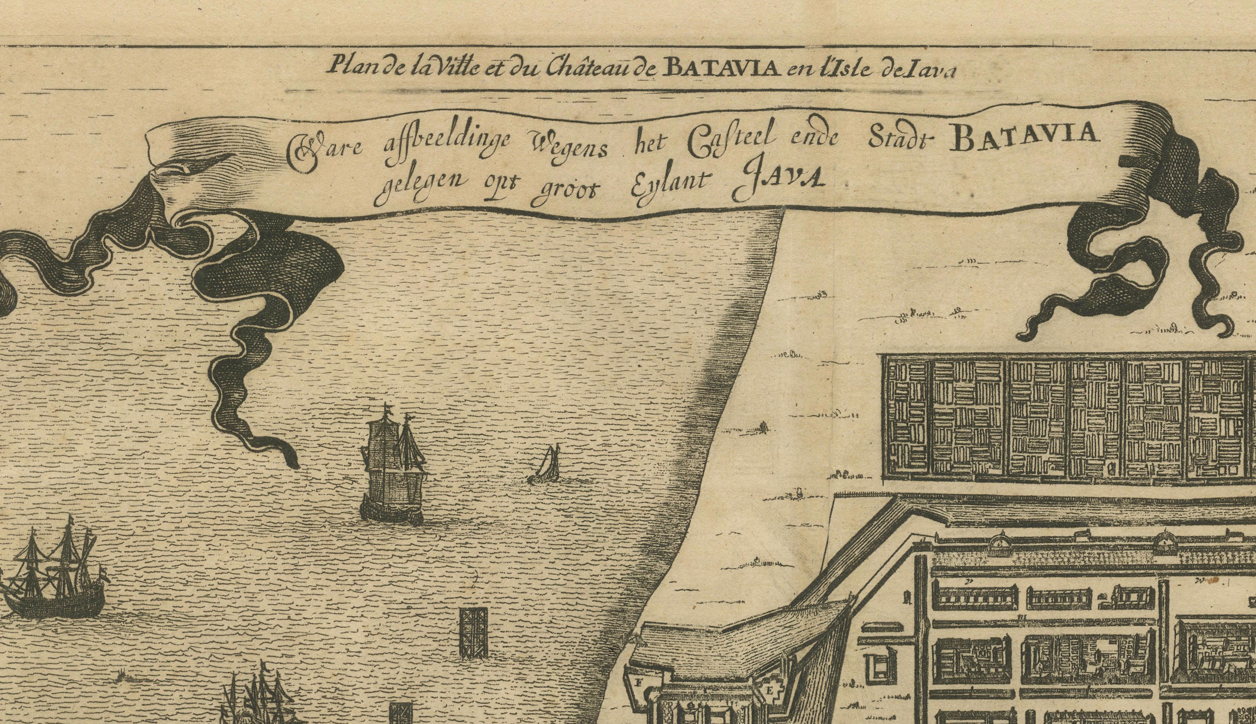
This is an original antique copperplate engraving titled “Plan de la Ville et du Château de Batavia en l’Isle de Iava” by Pieter van der Aa, published in Leiden in 1728. The plan is based on the 1669 original depicting the fortified city of Batavia (modern-day Jakarta, Indonesia) during its peak as the headquarters of the Dutch East India Company (VOC) in Asia.
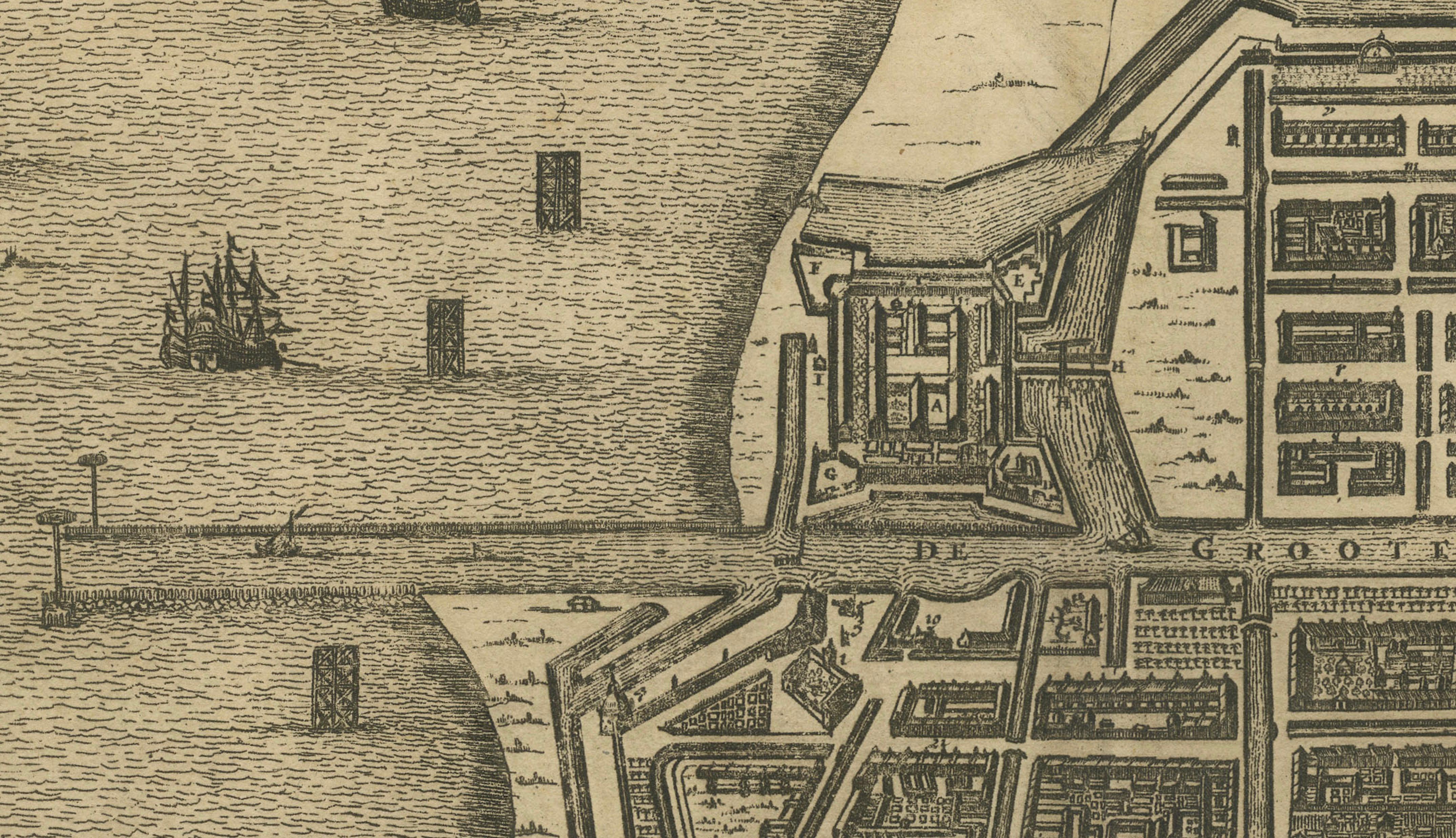
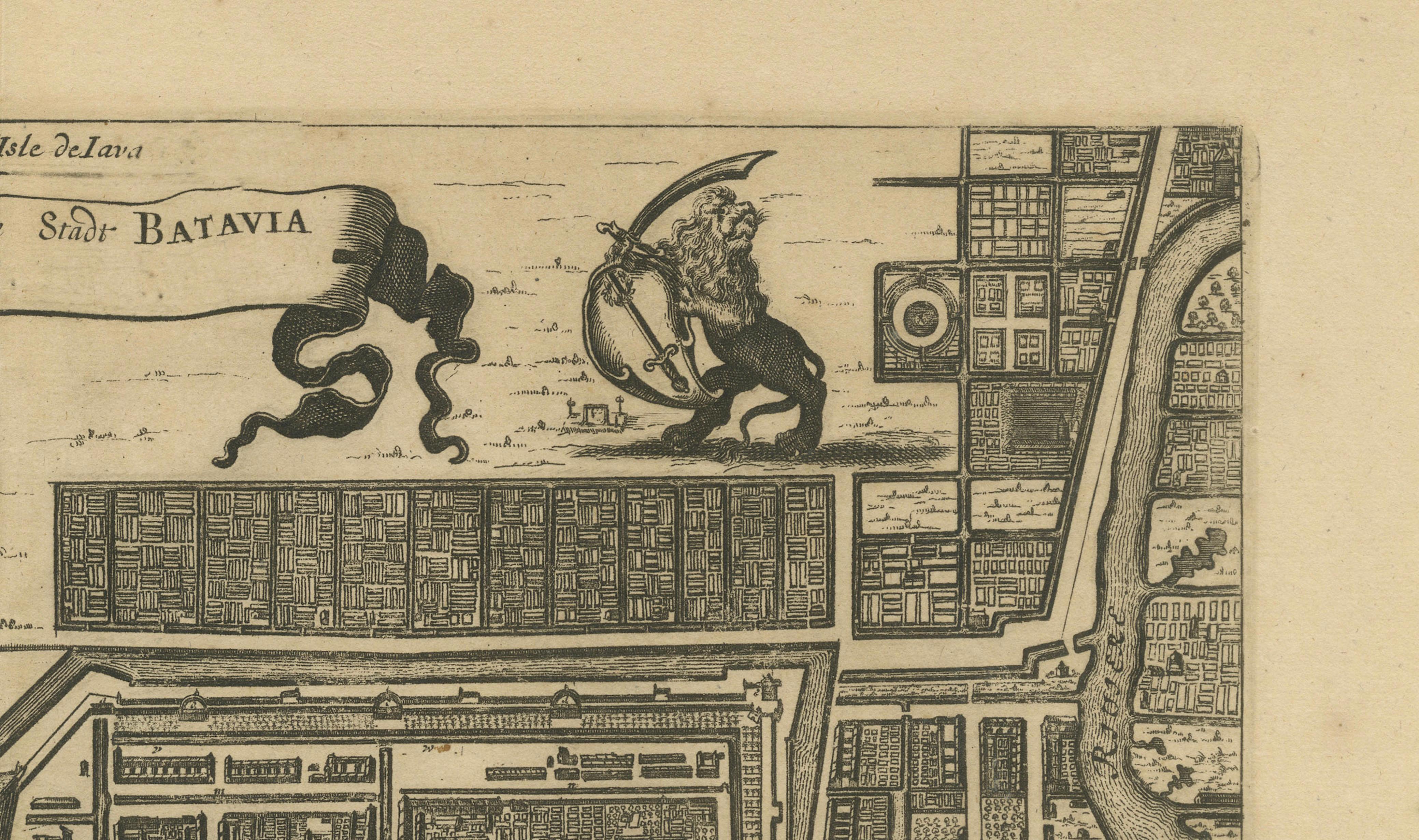
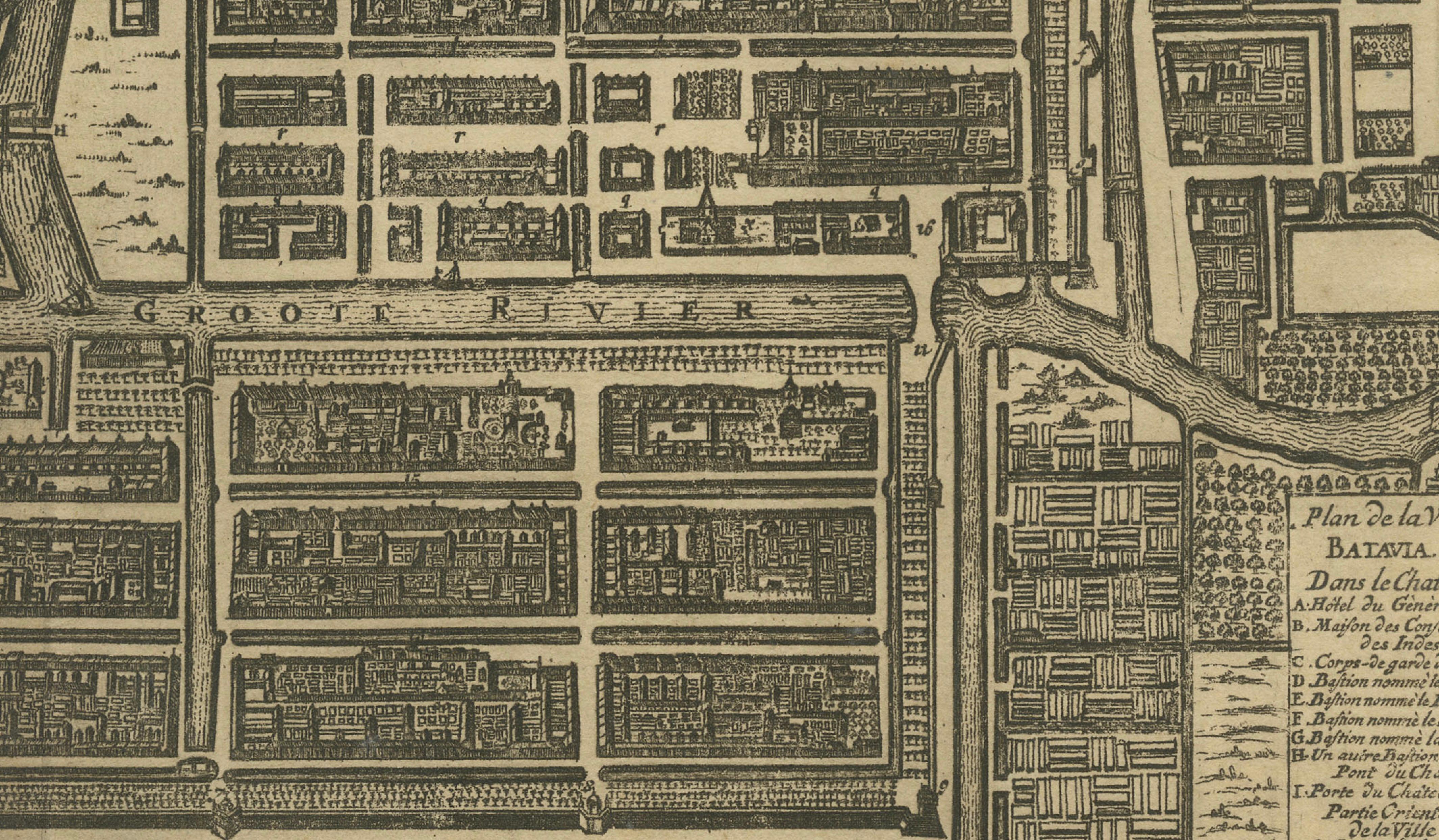
The map shows a detailed bird’s-eye view layout of Batavia, including its robust walls, bastions, canals, and neat grid of streets with labelled buildings and compounds. The castle (Kasteel Batavia) dominates the city’s seaward side, with ramparts extending into the harbour. Ships, junks, and small boats fill the foreground waters, indicating Batavia’s thriving maritime trade.
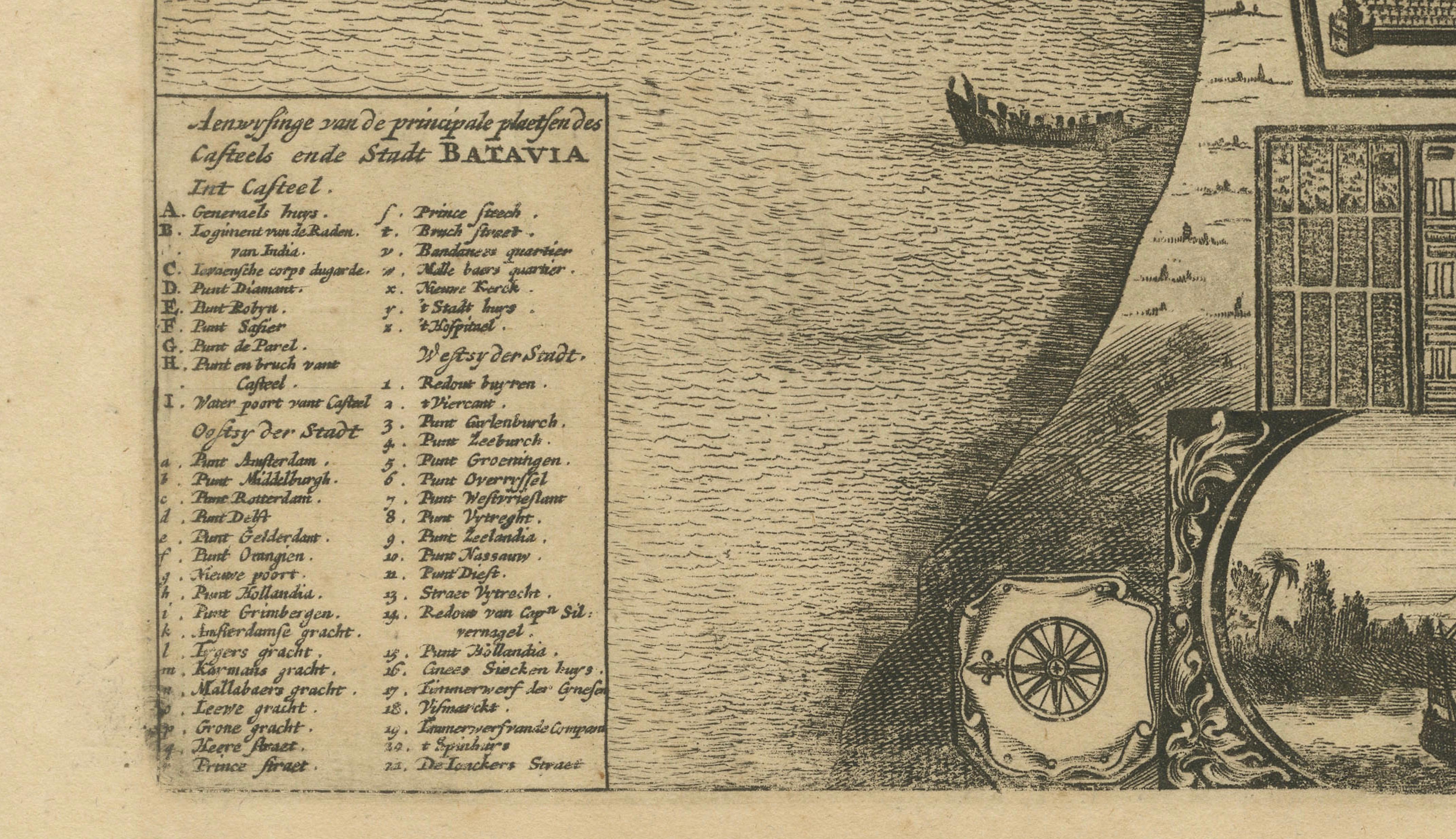
At the lower left and right are extensive keys identifying principal places within the castle and city, written in both Dutch and French. The lower part of the sheet features a finely engraved inset panorama view of Batavia seen from the sea, depicting the fortifications, church towers, and surrounding mountains, framed in an elegant cartouche with a compass rose.
The lion and globe VOC emblem adorns the upper right corner, underscoring Dutch colonial authority and global maritime reach during the 17th and early 18th centuries. Pieter van der Aa (1659–1733) was a prolific Dutch publisher known for compiling earlier cartographic works into elegant and collectible atlases.
Condition: Very good condition for its age. Strong impression on clean paper with wide margins. No staining, tears, or repairs noted. Verso is blank. Very light age toning and minimal handling marks, consistent with careful preservation. Fully suitable for museum-quality framing.
Framing tips: Frame this engraving in a slim black, walnut, or gilt frame to enhance its historic and maritime character. Use an off-white archival mat to protect edges and highlight its fine engraving. UV-protective glazing is recommended to preserve the paper and maintain clarity for long-term display.