Maps & PrintsBartele Gallery · Langweer
Home / Antique Maps / Asia / South-East Asia / East Indies

East Indies · 18th century

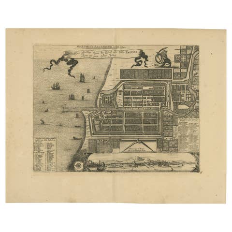
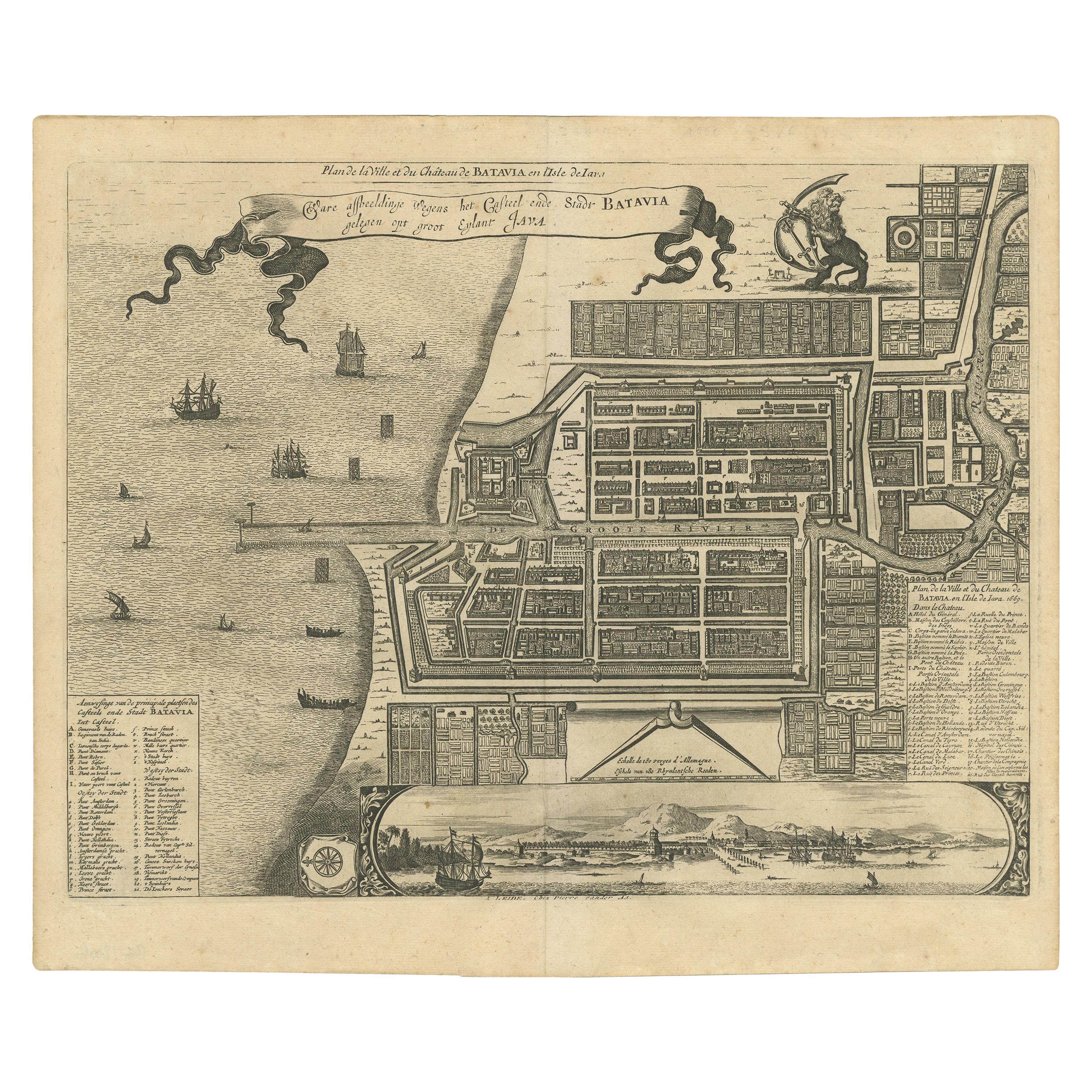
Antique Map of the City of Batavia by Van der Aa, circa 1730

€ 1 200

One of a kind: this is the sheet in the photographs. Ships from Langweer, the Netherlands.

Date
1730
Technique
Engraved
Sheet size
31 × 37.5 cm (12.2 × 14.8 in)
Condition
Good
Reference
BG-13006

Condition

Good, general age-related toning. Original folding line. Minor wear and foxing, blank verso. Please study image carefully.
About this sheet

Antique map titled 'Plan de la Ville et du Chateau de Batavia en l'Isle de Iava - Ware affbeeldinge wegens het Casteel ende Stadt Batavia gelegen op groot Eylant Java'. Detailed plan of Batavia / Jakarta, Java, Indonesia. With bird’s-eye view from sea side. Two inset keys with detailed description of the buildings. Published by P. van der Aa, circa 1730.

More from East Indies

Ask about this sheet

Antique Map of the City of Batavia by Van der Aa, circa 1730
1730 · Ref. BG-13006 · € 1 200
We reply by email, usually within one working day.