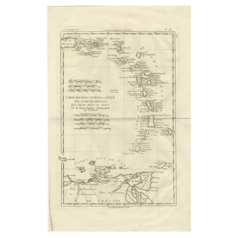
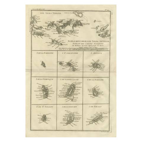
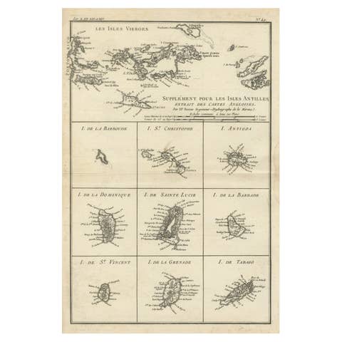
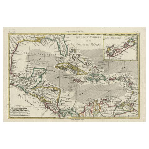
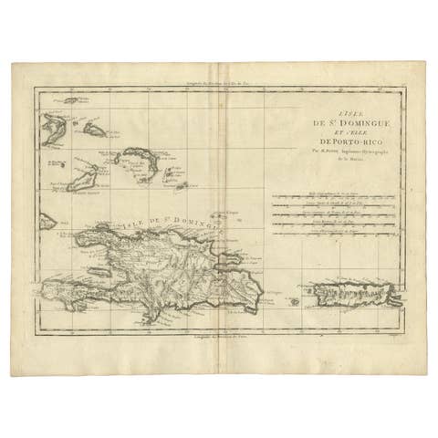
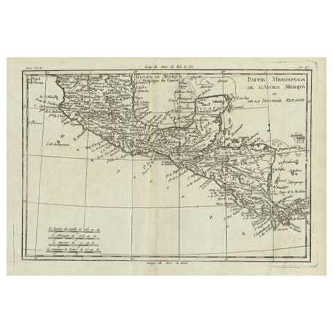
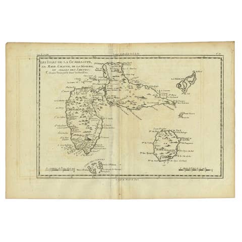
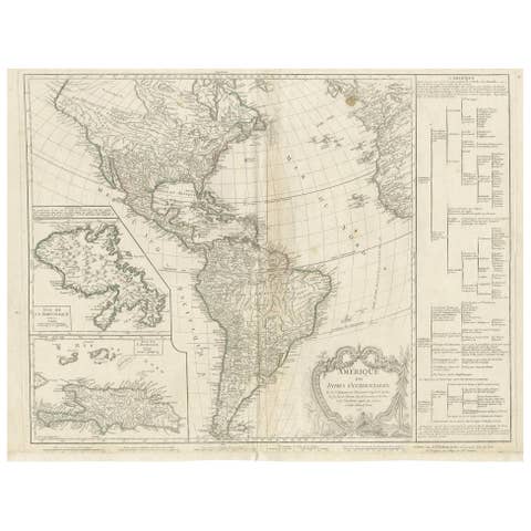
Antique Map of Martinique by Rigobert Bonne, Circa 1780
€ 320
Original antique · The actual sheet photographed · Certificate of authenticity on request · Sold unframed · Worldwide shipping from € 15 (rates)
Date
1780
Sheet size
34.5 × 25.5 cm (13.6 × 10.0 in)
Condition
Good
Reference
BG-13618-22
What the condition grades mean
Excellent
Bright and clean, with no faults worth mentioning.
Very good
Only light signs of age, such as faint toning.
Good
Normal signs of age for a sheet of this period: toning, some foxing, small marks or neat old repairs.
Fair
Clear faults such as staining, tears or repairs, priced to match.
Every fault we see is written in the condition note, and the whole sheet is shown uncropped in the photos.
Condition
Given age. Slight browned near around the edges, outside the image. Original middle fold as issued. General age-related toning and/or occasional minor defects from handling. Please review the images for further condition details.
About this sheet
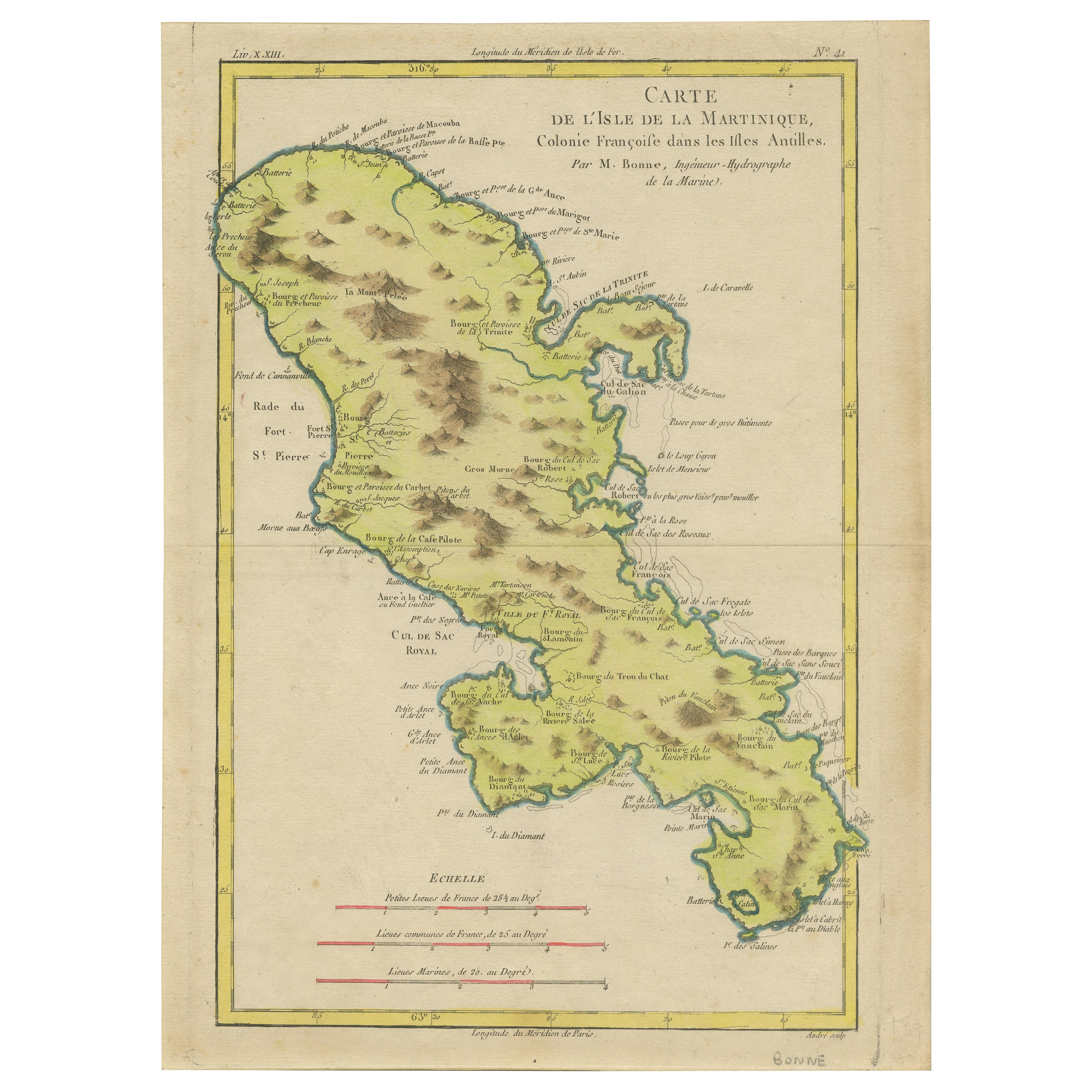
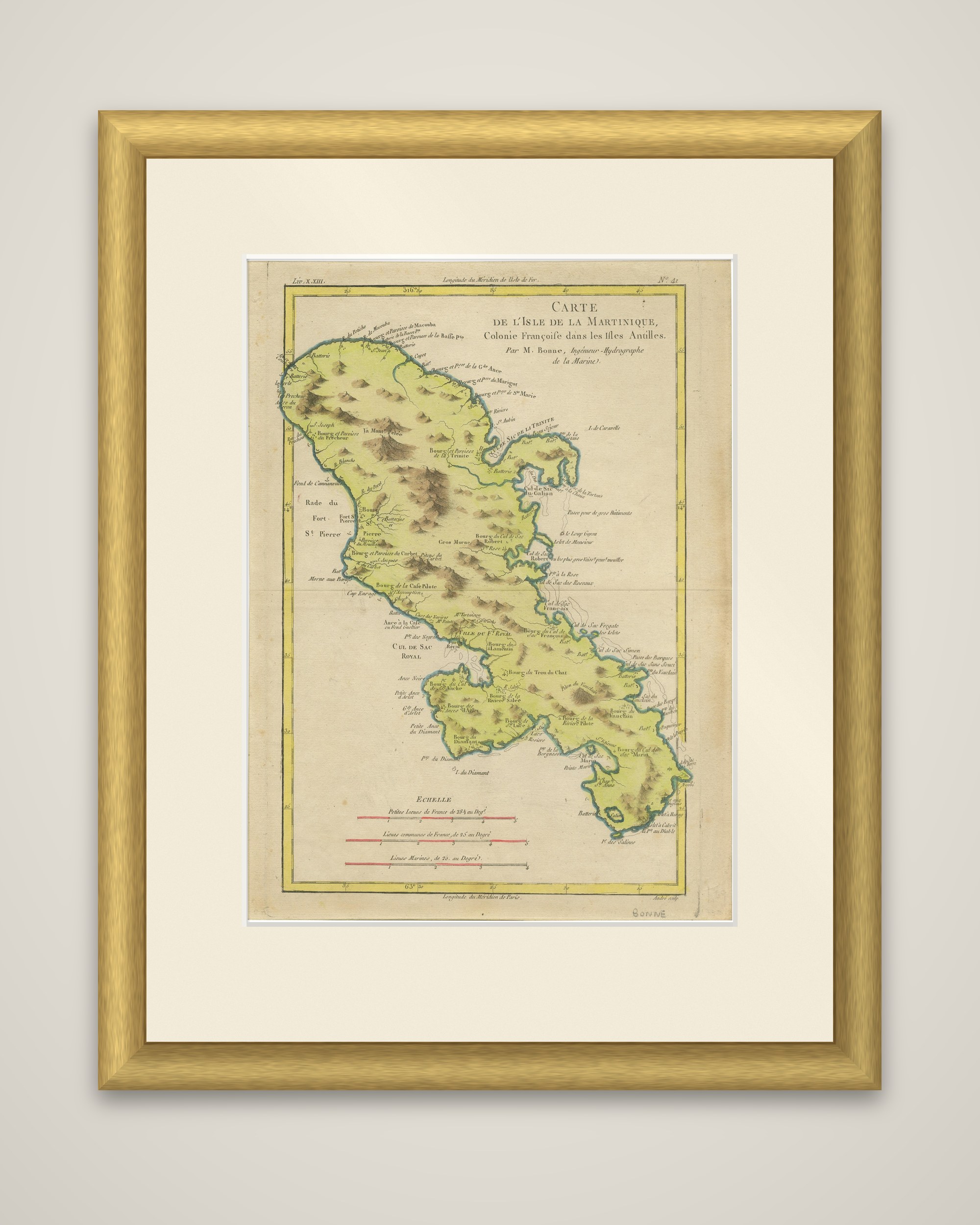
Martinique drawn by Rigobert Bonne, circa 1780, an original copper engraving with outline hand color. The title reads "Carte de l'Isle de la Martinique, Colonie Francoise dans les Isles Antilles, par M. Bonne, Ingenieur Hydrographe de la Marine", and the sheet is numbered 31 at the upper right.
The island is filled in yellow within a green coastal edge, with its hills drawn in brown hachure, and a yellow ruled border carries the latitude and longitude. Bourgs and parishes are named around the coast and inland: Saint-Pierre with its roadstead, Fort Royal and the Cul de Sac Royal, La Trinite, Le Francois, Le Diamant at the southern end and many others. Rivers, anchorages, lakes and the points of the coast are lettered, and three scales are given below the island, in petites lieues de France, lieues communes de France and lieues marines.
Bonne (1727 to 1795) was one of the leading French cartographers of the later eighteenth century. In 1773 he succeeded Bellin as hydrographer at the Depot de la Marine, and his work moved away from the decorative maps of earlier periods toward a plainer, more practical style, with a focus on coastal detail.