
Maps & PrintsBartele Gallery · Langweer
Home / Antique Maps / America / Central America & Caribbean

Central America & Caribbean · 18th century

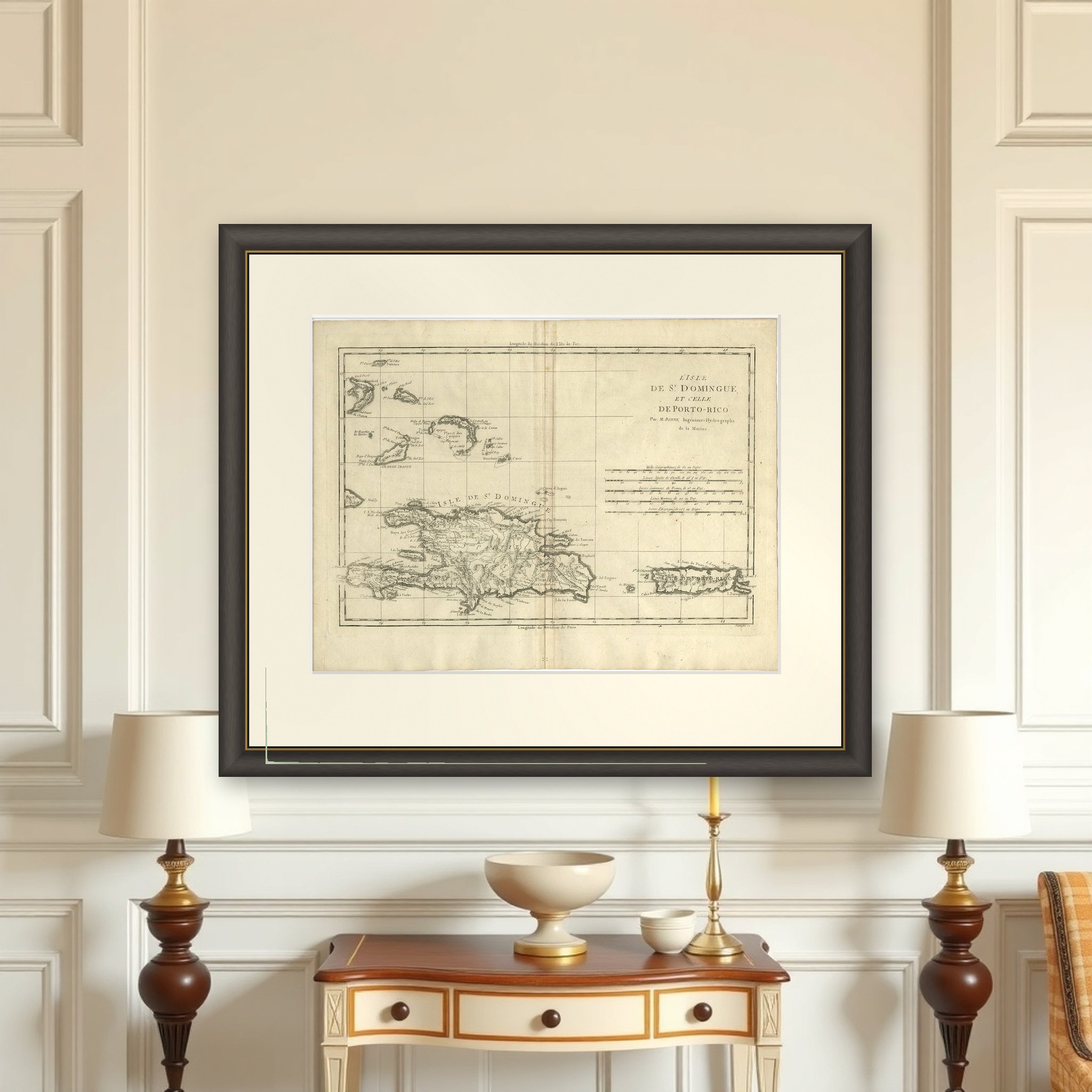
Detailed Antique Map of Santa Domingo, Puerto Rico, Eastern Bahamas, ca. 1780

€ 700

Original antique · The actual sheet photographed · Certificate of authenticity on request · Sold unframed · Worldwide shipping from € 15 (rates)

Date
1780
Sheet size
29 × 38.4 cm (11.4 × 15.1 in)
Condition
Good
Reference
PCT-57896
What the condition grades mean
Excellent
Bright and clean, with no faults worth mentioning.
Very good
Only light signs of age, such as faint toning.
Good
Normal signs of age for a sheet of this period: toning, some foxing, small marks or neat old repairs.
Fair
Clear faults such as staining, tears or repairs, priced to match.

Every fault we see is written in the condition note, and the whole sheet is shown uncropped in the photos.
About this sheet

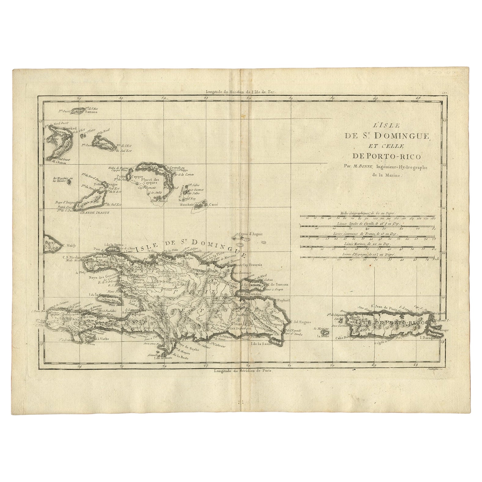
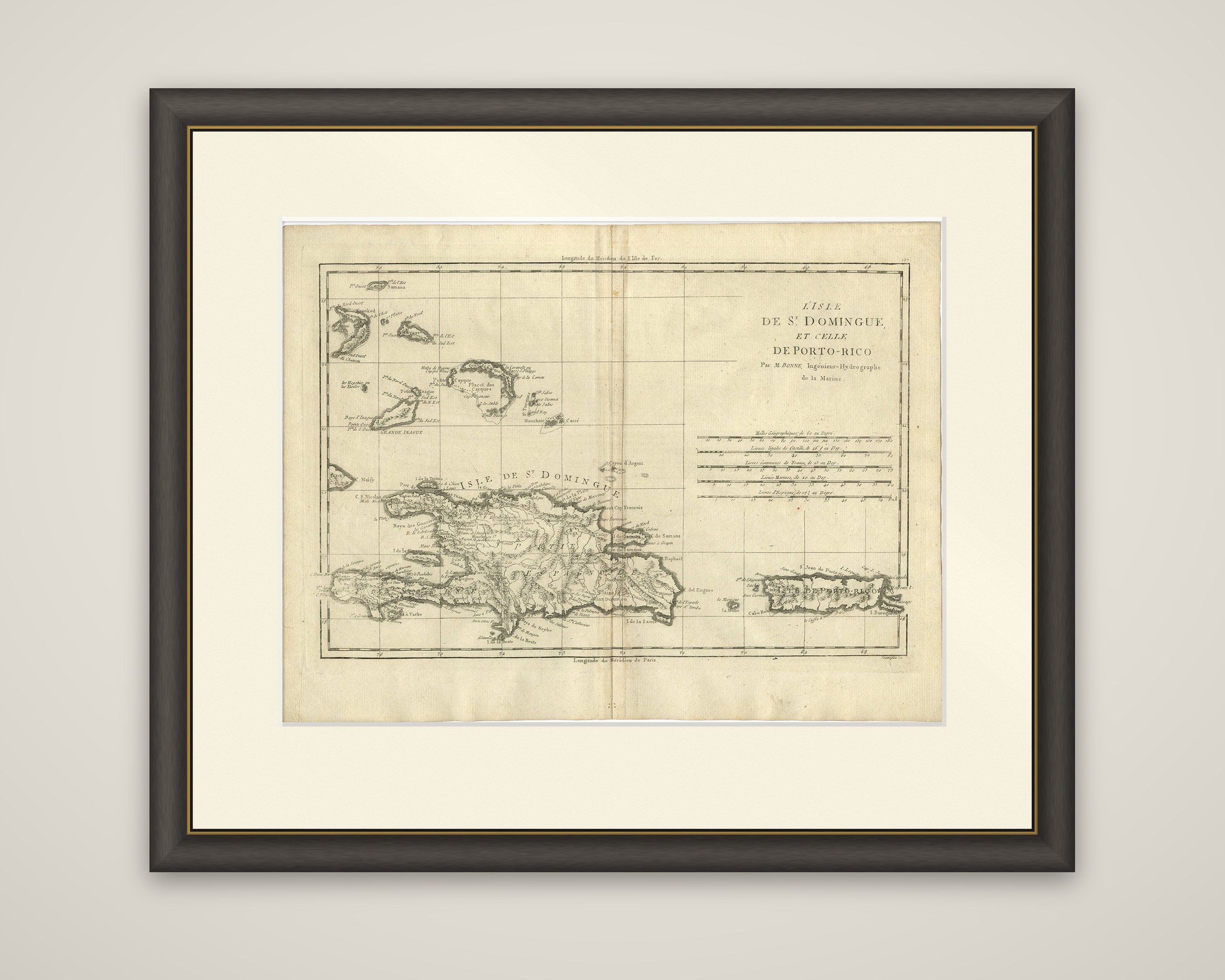
L'Isle de St. Domingue et celle de Porto-Rico, an original copper engraving by Rigobert Bonne, from the Atlas de Toutes les Parties Connues du Globe Terrestre, dating from about 1780. The title is set at the upper right with the credit "Par M. Bonne, Ingénieur-Hydrographe de la Marine," and five scales of leagues and miles are drawn below it.

The map shows the island of Hispaniola in the center, lettered "Isle de St. Domingue," with Puerto Rico at the lower right. Coasts, bays and ports are lettered around the shores, rivers and mountain ranges are drawn across the interior, and substantial topographical detail is shown on the island. At the upper left the Turks and Caicos Islands and the eastern Bahamas, among them Grande Inague, are included with their shoals and reefs. The map has no hand coloring or decorative cartouche, in the plain, practical manner of Bonne's engraving.

Bonne succeeded Jacques Bellin as Royal Cartographer to France at the Dépôt de la Marine in 1773, and his maps are known for their detail. St. Domingue was then France's richest colony, the sugar and coffee island that was lost in the Haitian Revolution of the 1790s.

More from Central America & Caribbean

Ask about this sheet

Detailed Antique Map of Santa Domingo, Puerto Rico, Eastern Bahamas, ca. 1780
1780 · Ref. PCT-57896 · € 700
We reply by email, usually within one working day.

Your favorites

Saved in this browser. Email the list to yourself to keep it on any device.

We use your email to send this list and, only if you tick the box and confirm, for occasional new arrivals. Every email has an unsubscribe link. Bartele Gallery, the Netherlands.