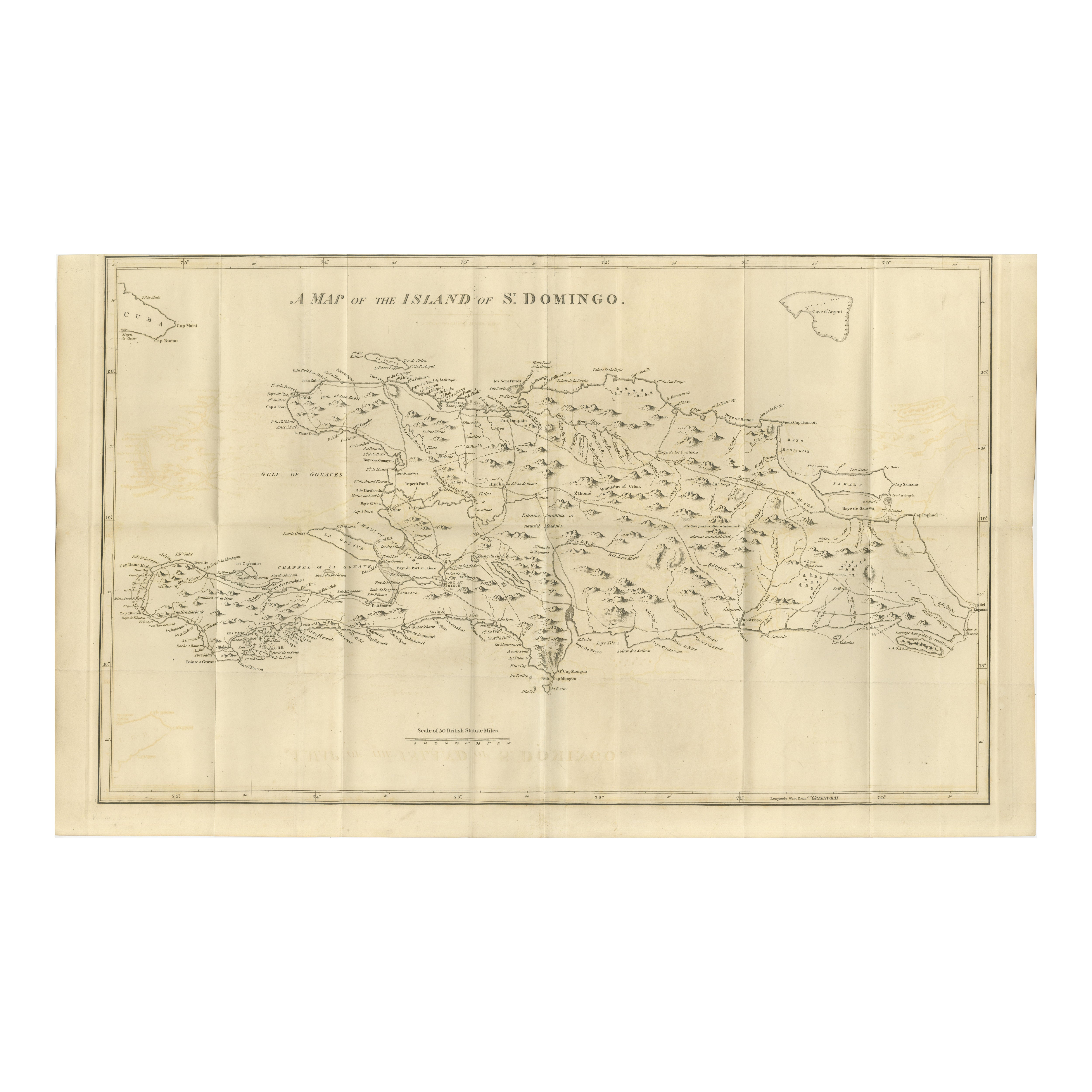
Saint Domingue Map 1793 – Colonial Haiti and Dominican Republic Plan
€ 960
Original antique · The actual sheet photographed · Certificate of authenticity on request · Sold unframed · Worldwide shipping from € 15 (rates)
Date
1793
Sheet size
48.5 × 81 cm (19.1 × 31.9 in)
Condition
Good
Reference
BG-13306-1-16
What the condition grades mean
Excellent
Bright and clean, with no faults worth mentioning.
Very good
Only light signs of age, such as faint toning.
Good
Normal signs of age for a sheet of this period: toning, some foxing, small marks or neat old repairs.
Fair
Clear faults such as staining, tears or repairs, priced to match.
Every fault we see is written in the condition note, and the whole sheet is shown uncropped in the photos.
Condition
Good condition for its age. Clean impression with strong engraved lines. Original fold lines as issued, with a few minor fold separations repaired on verso. Some light toning and handling creases, mainly in margins, not affecting the printed area.
About this sheet
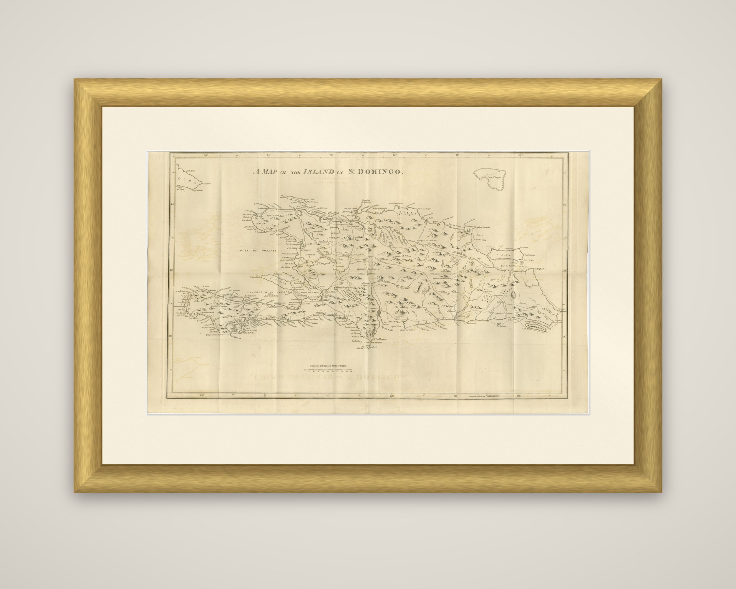
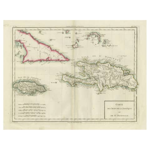
The island of Hispaniola in 1793, "A Map of the Island of St. Domingo," an original copper engraving from Bryan Edwards' The History, Civil and Commercial, of the British West Indies, first issued in 1793. The map was probably engraved in London by Samuel John Neele, who engraved most of the maps for the work.
The island is drawn in full, with its mountains shown in rows of small hill symbols, rivers and coastal inlets, and capes, bays and towns lettered around the coast. The Gulf of Gonâve cuts deep into the western end, and Samana Bay is marked at the east. The western part of the island is the French colony of Saint Domingue, and the eastern part the Spanish colony of Santo Domingo. The western tip of Cuba appears at the upper left and a small island at the upper right, with the scale at the foot of the sheet and the lines of the original folds across it.
At the date of publication, Saint Domingue was among the richest sugar and coffee colonies in the world, and the revolution that created the republic of Haiti had begun in 1791, which gave the book's readers a special reason for a clear map of the island.