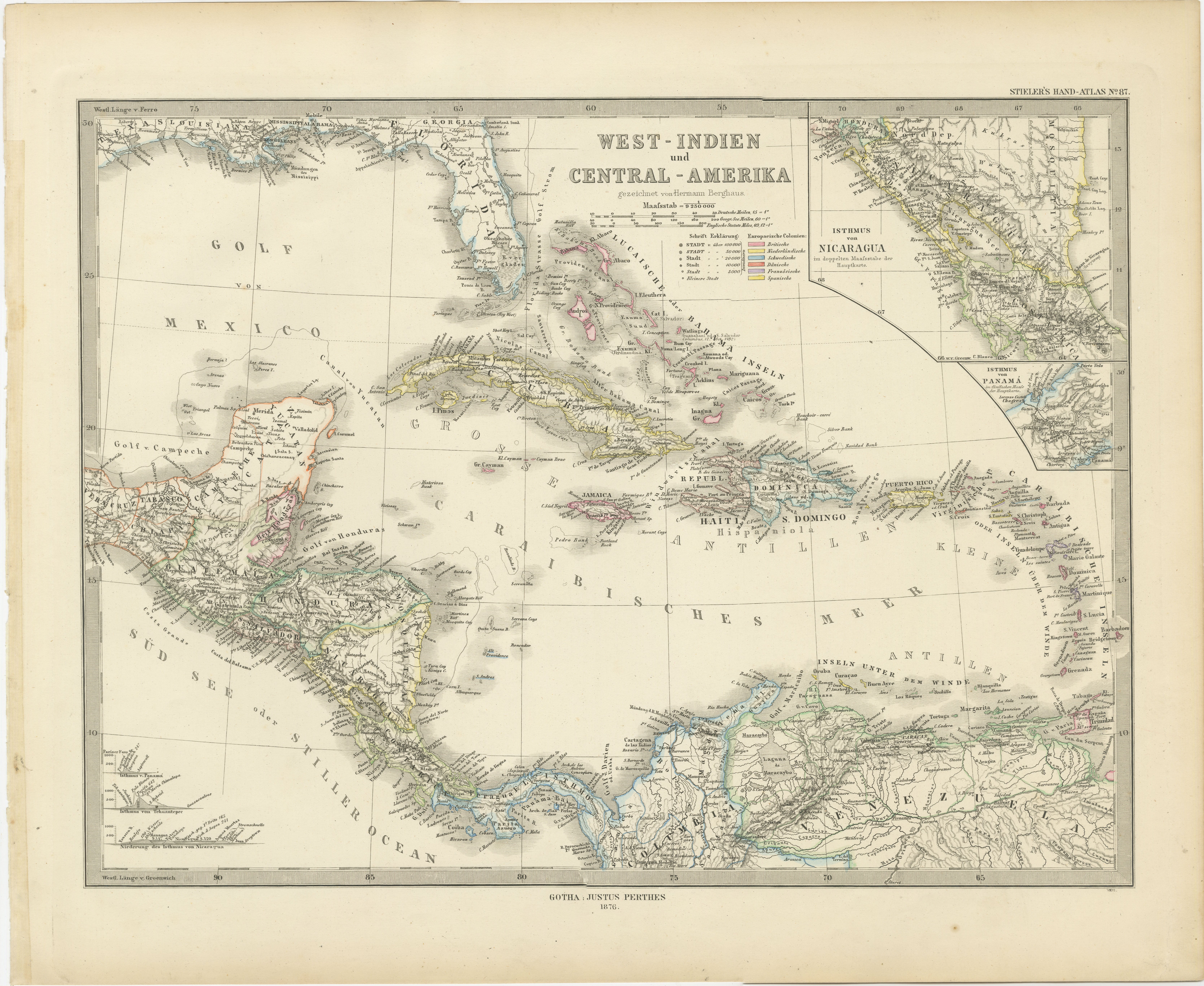
1880 Map of the Caribbean and Central America by Adolf Stieler
€ 290
One of a kind: this is the sheet in the photographs. Ships from Langweer, the Netherlands.
Date
1880
Sheet size
38 × 47 cm (15.0 × 18.5 in)
Reference
BG-13290-4
Condition
very good, given age.General age-related toning and/or occasional minor defects from handling. Please study scan carefully.
About this sheet
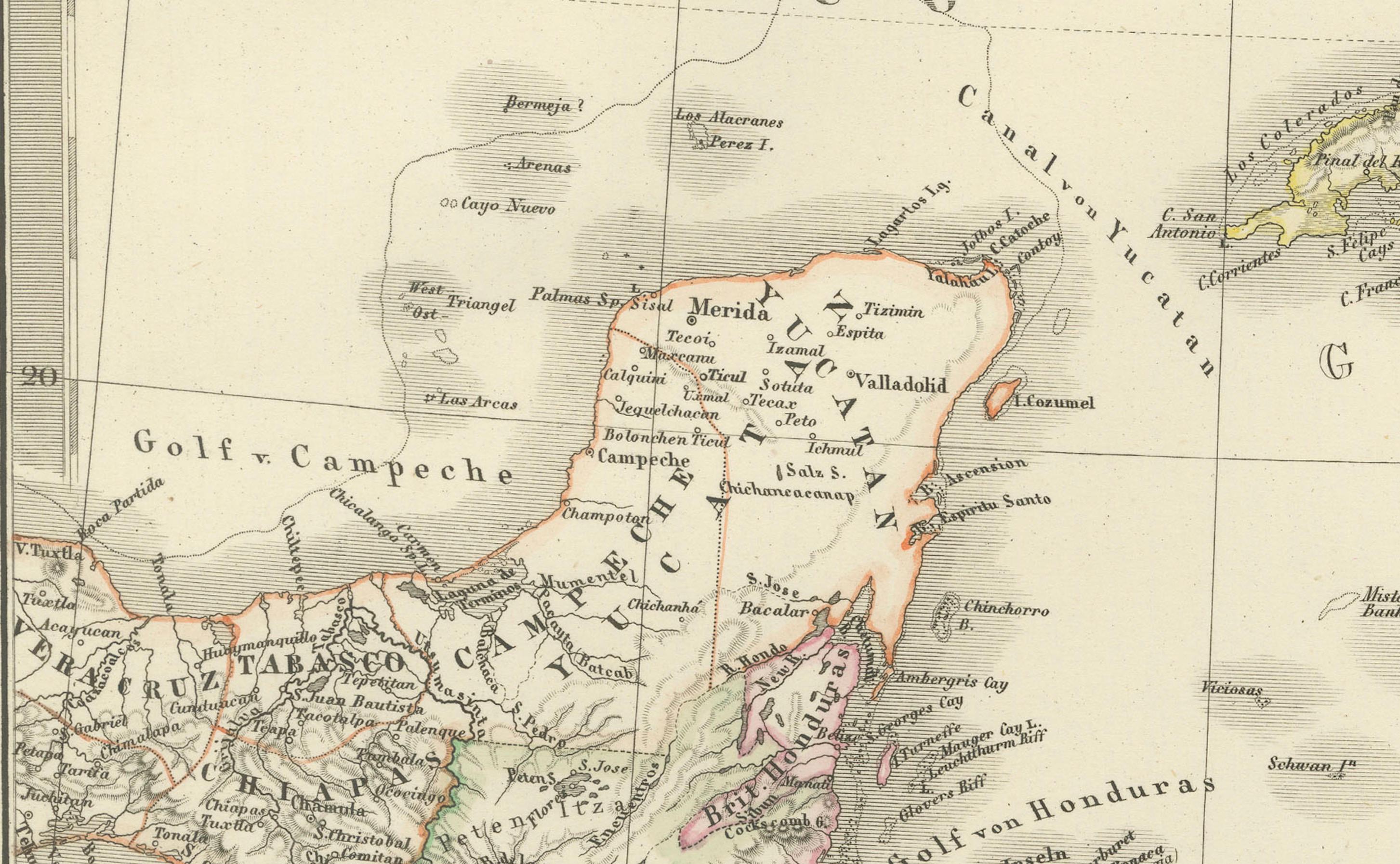
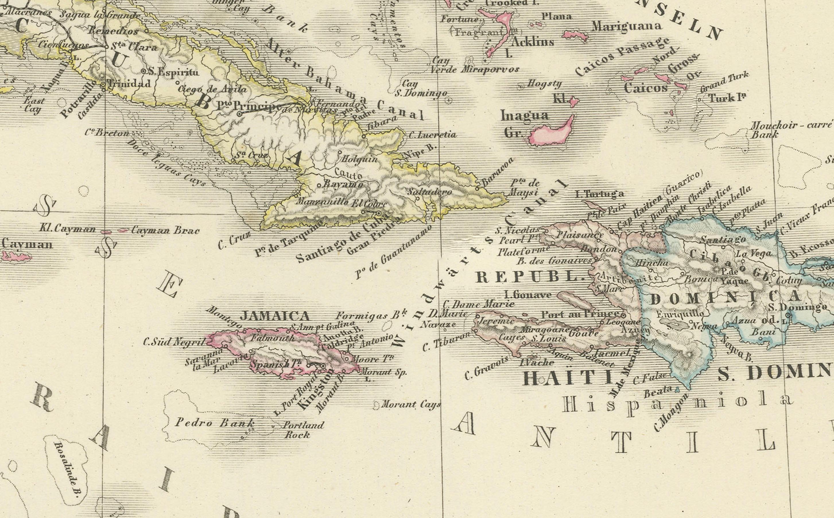
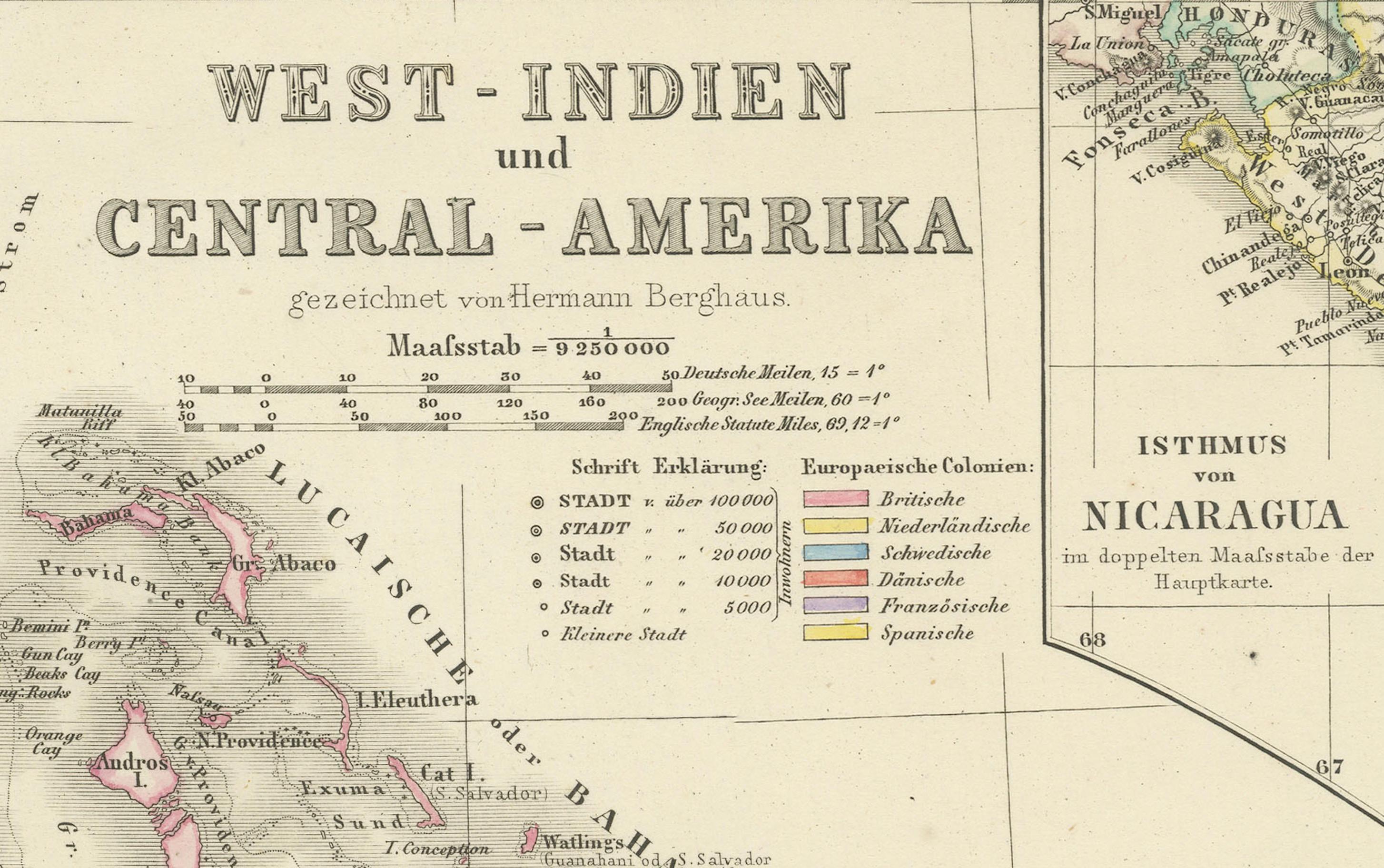
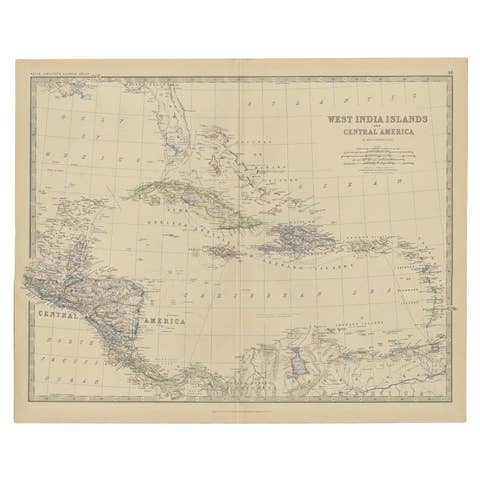
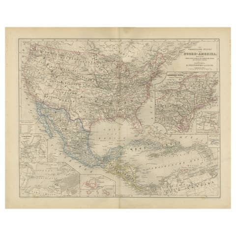
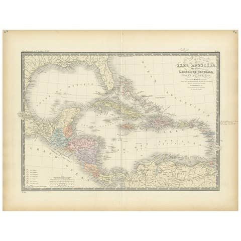
This is a detailed map titled "West-Indien und Central-Amerika," created by Adolf Stieler and published in Gotha in 1880. The map covers the Caribbean islands and the Central American region, including significant portions of Mexico and northern South America.
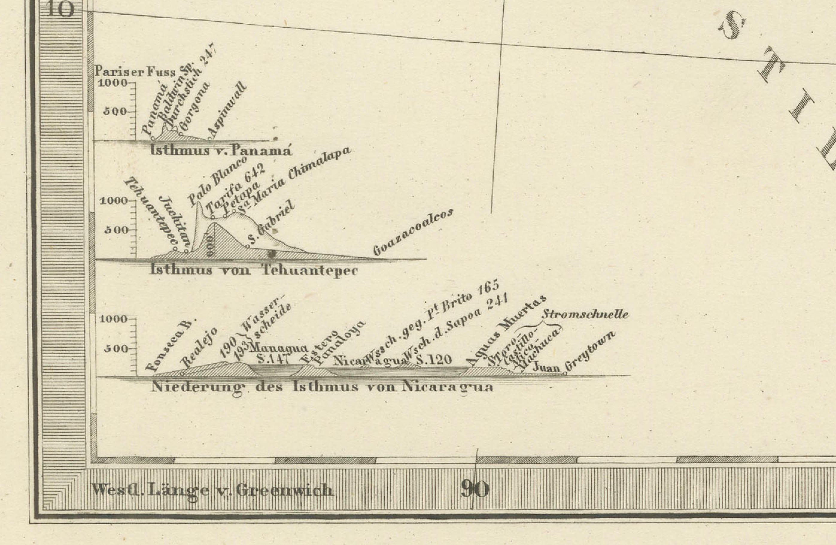
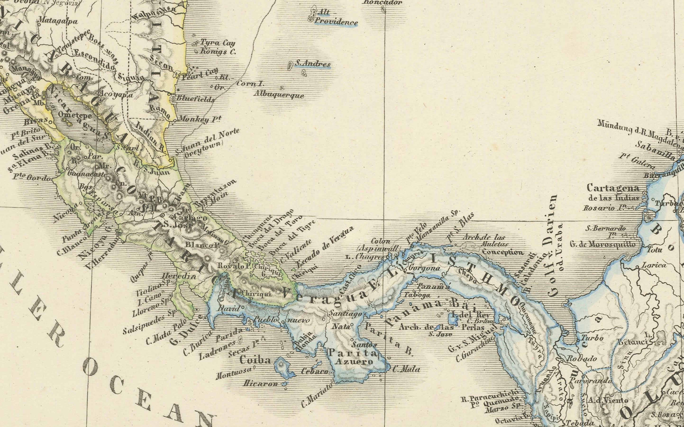
Some notable features of the map: - Outline color is used to differentiate between various regions and territories. - There are large, detailed insets for Nicaragua and the Isthmus of Panama, highlighting areas of particular geopolitical interest in the late 19th century. - The geographical scope encompasses the Gulf of Mexico, the Caribbean Sea, and the regions bordering the Atlantic and Pacific Oceans, including the Lesser Antilles, Greater Antilles, Central America, and northern South America.
This map reflects the high quality of Adolf Stieler's cartography, part of the renowned Stieler's Hand-Atlas, which was known for its precision and clarity in geographic details during the 19th century. The publisher, Justus Perthes in Gotha, was famous for producing some of the best maps of the era.