Maps & PrintsBartele Gallery · Langweer
Home / Antique Maps / America / Central America & Caribbean

Central America & Caribbean · 19th century

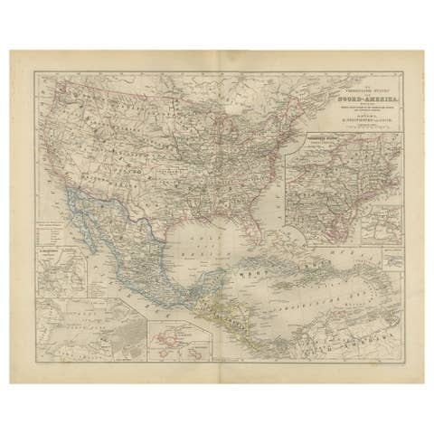
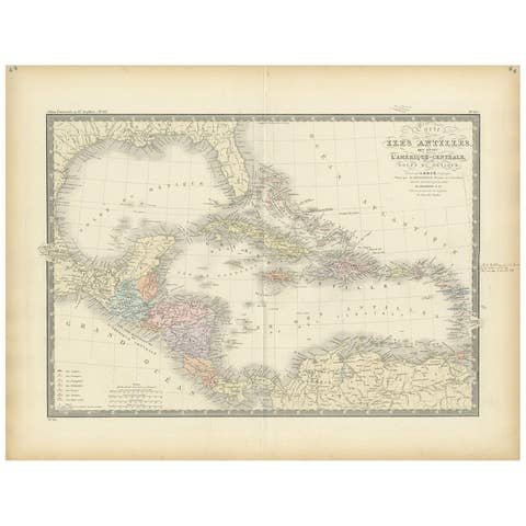
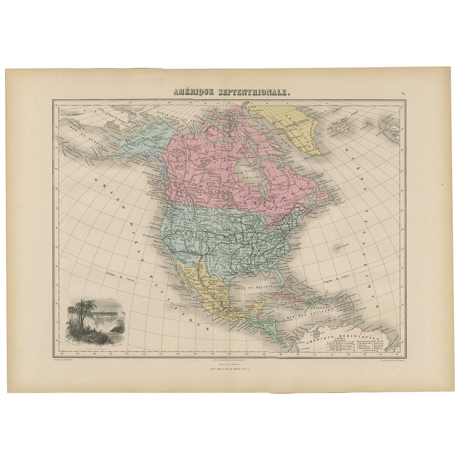
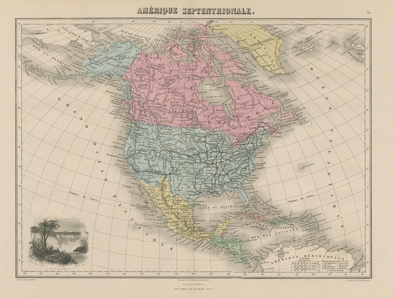
Antique Map of North and Central America by Migeon '1880'

€ 150

One of a kind: this is the sheet in the photographs. Ships from Langweer, the Netherlands.

Date
1880
Mapmaker / artist
J. Migeon (Artist)
Sheet size
34.5 × 47.5 cm (13.6 × 18.7 in)
Condition
Good
Reference
BG-11793-39

Condition

General age-related toning. Please study images carefully.

About this sheet

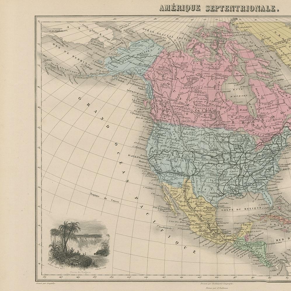
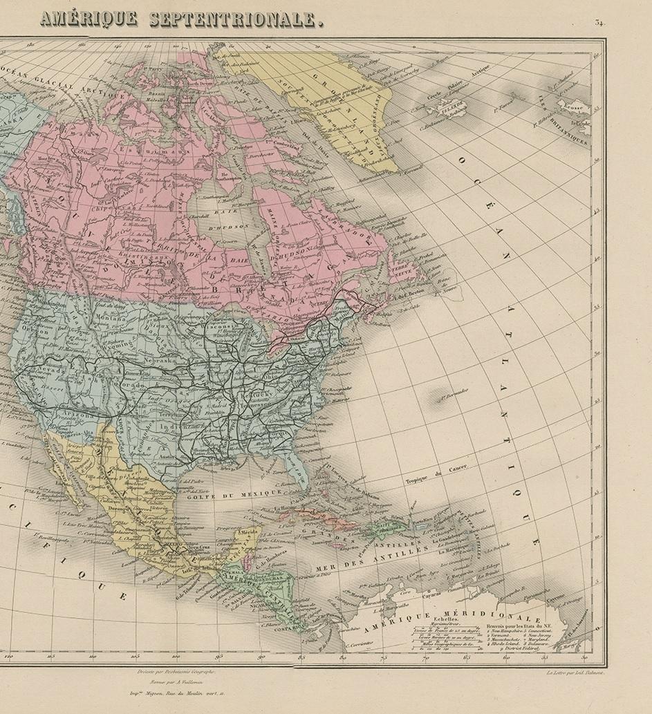
Antique map titled 'Amérique Septentrionale'. Old map of North and Central America. With a decorative vignette of the Niagara Falls. This map originates from 'Géographie Universelle Atlas-Migeon' by J. Migeon.

More from Central America & Caribbean

Ask about this sheet

Antique Map of North and Central America by Migeon '1880'
1880 · Ref. BG-11793-39 · € 150
We reply by email, usually within one working day.