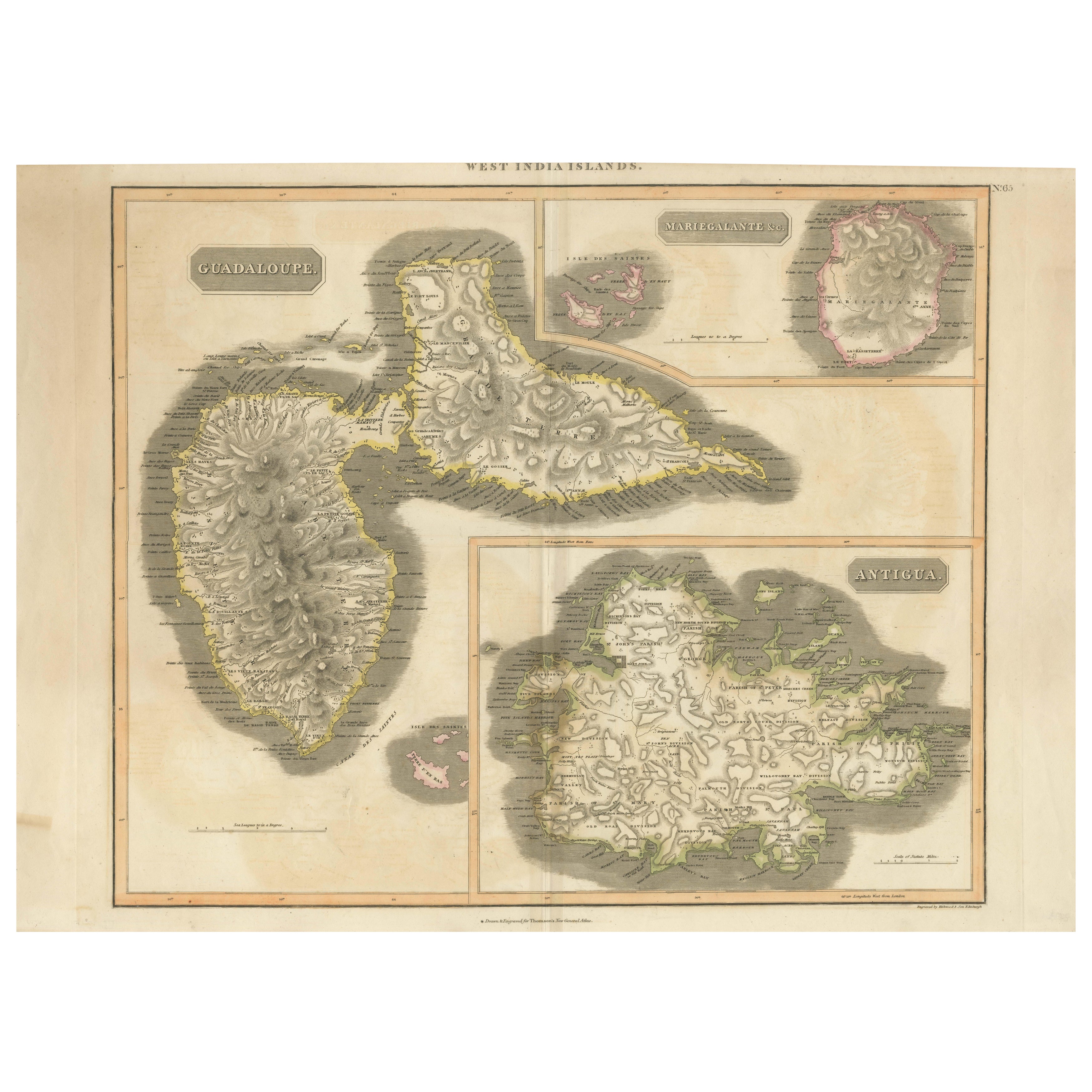
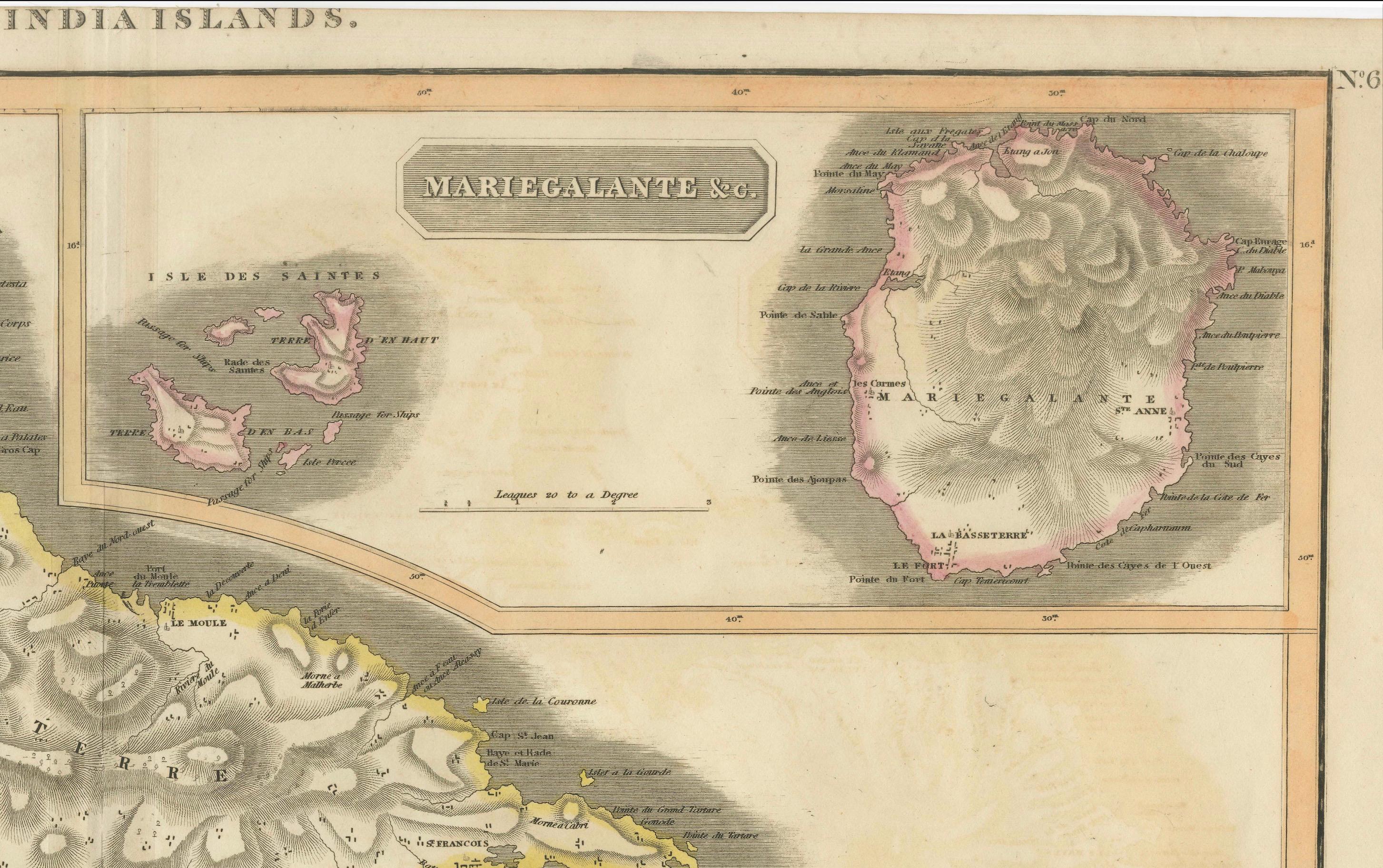
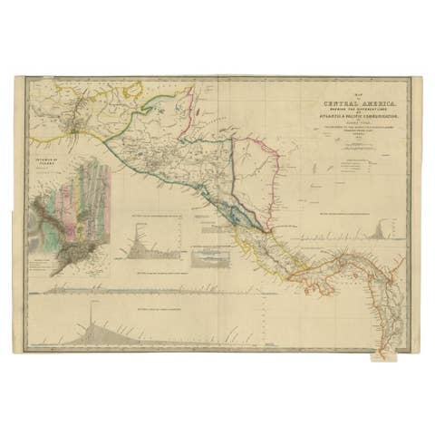
1821 Thomson Map of Guadeloupe, Marie-Galante and Antigua in the West Indies
€ 580
One of a kind: this is the sheet in the photographs. Ships from Langweer, the Netherlands.
Date
1821
Sheet size
54 × 73.5 cm (21.3 × 28.9 in)
Reference
BG-13618-3
Condition
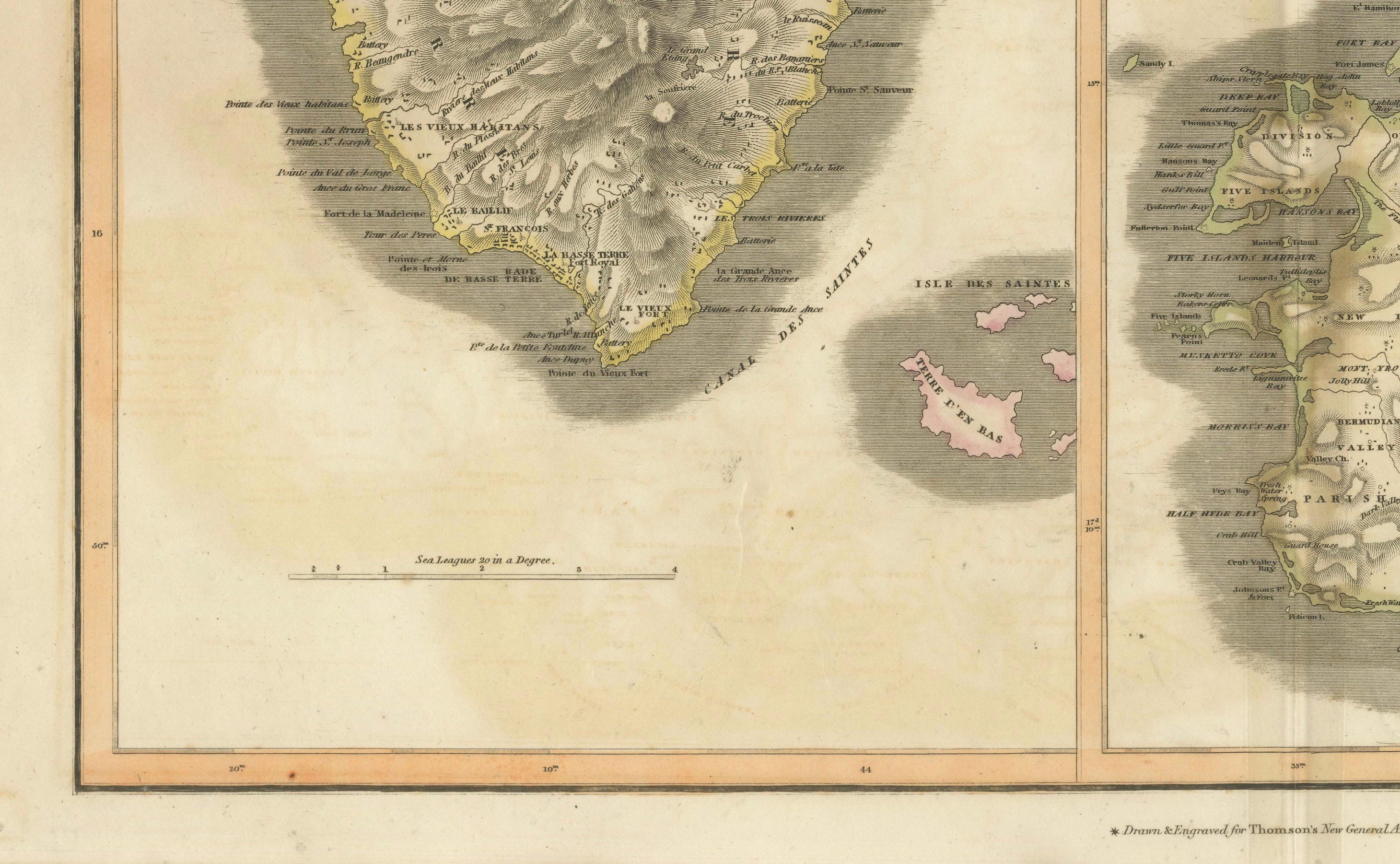
good, given age. Overall light foxing and soiling. Vertical folds as issued. General age-related toning and/or occasional minor defects from handling. Top border cut short. Please study scans carefully.
About this sheet
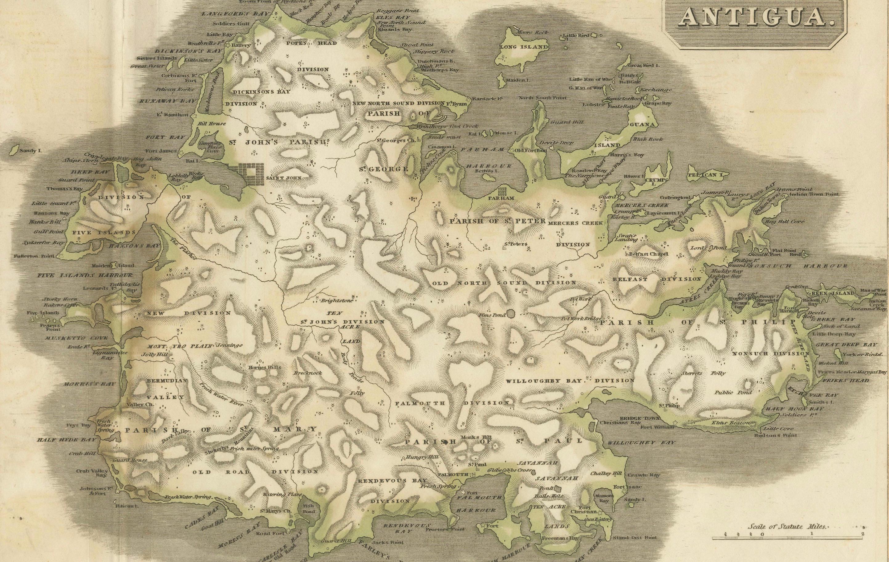
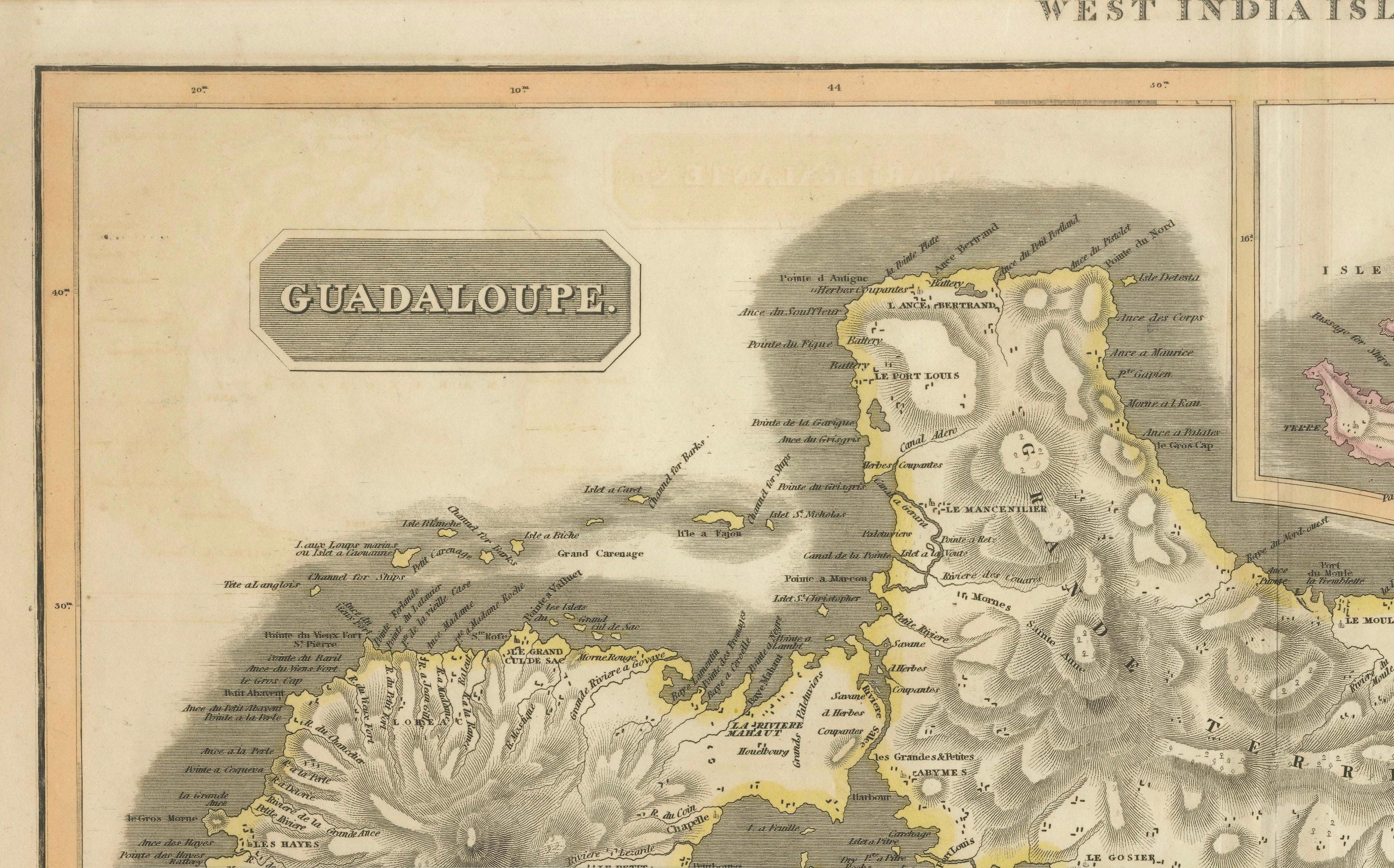
This map, published in 1821 by John Thomson, showcases Guadeloupe, Marie-Galante, and Antigua from the *West India Islands* collection. Part of Thomson's *New General Atlas*, it provides a detailed representation of these key Caribbean islands during the early 19th century.
Each island is rendered with intricate topographical details, highlighting mountains, settlements, bays, and other geographical features. The map uses color-coding to emphasize the regions and territories. Guadeloupe, a French colony, dominates the upper section, while Marie-Galante (also under French control) and Antigua (British) are inset with individual focus.
The map is prized for its fine engraving and historical insight into the colonial landscape of the Caribbean, where European powers vied for control. It offers both an aesthetic and functional representation of these islands, reflecting maritime and economic interests of the time.
With a blend of artistic craftsmanship and geographic precision, this map remains a valuable historical document for collectors and enthusiasts interested in the colonial history of the Caribbean.