About this sheet
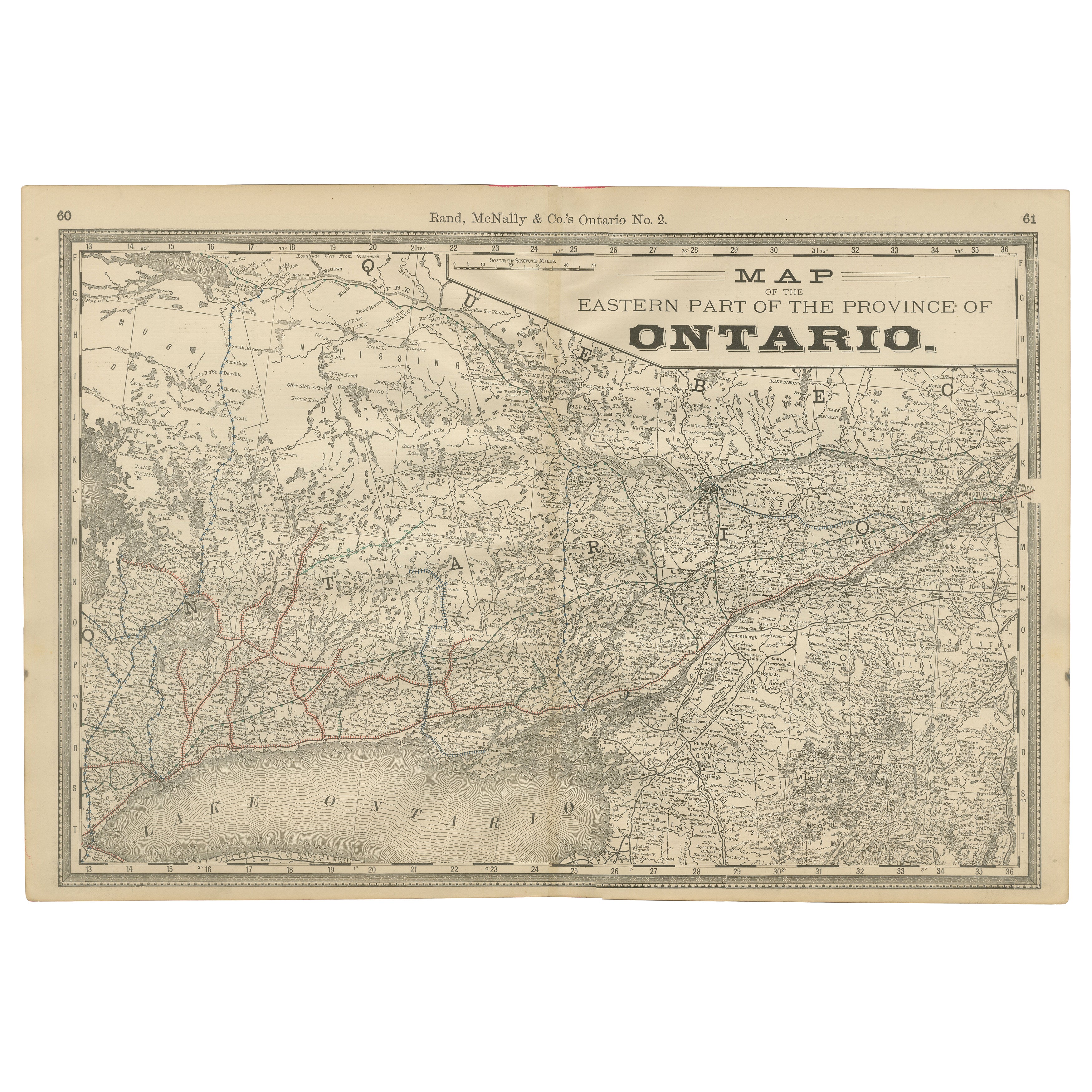
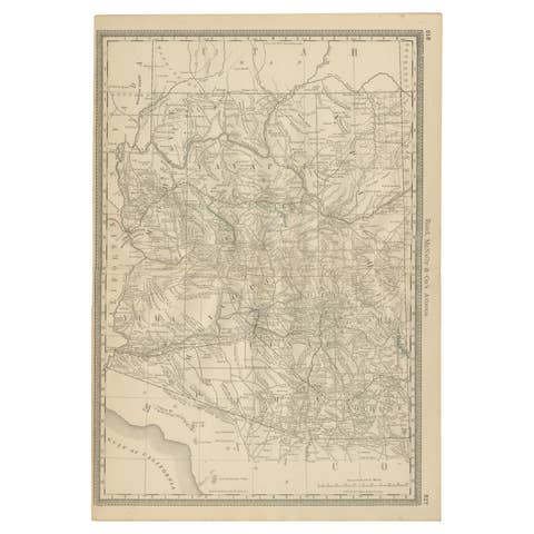
Antique Map of Eastern Ontario, Canada – Rand McNally, circa 1888
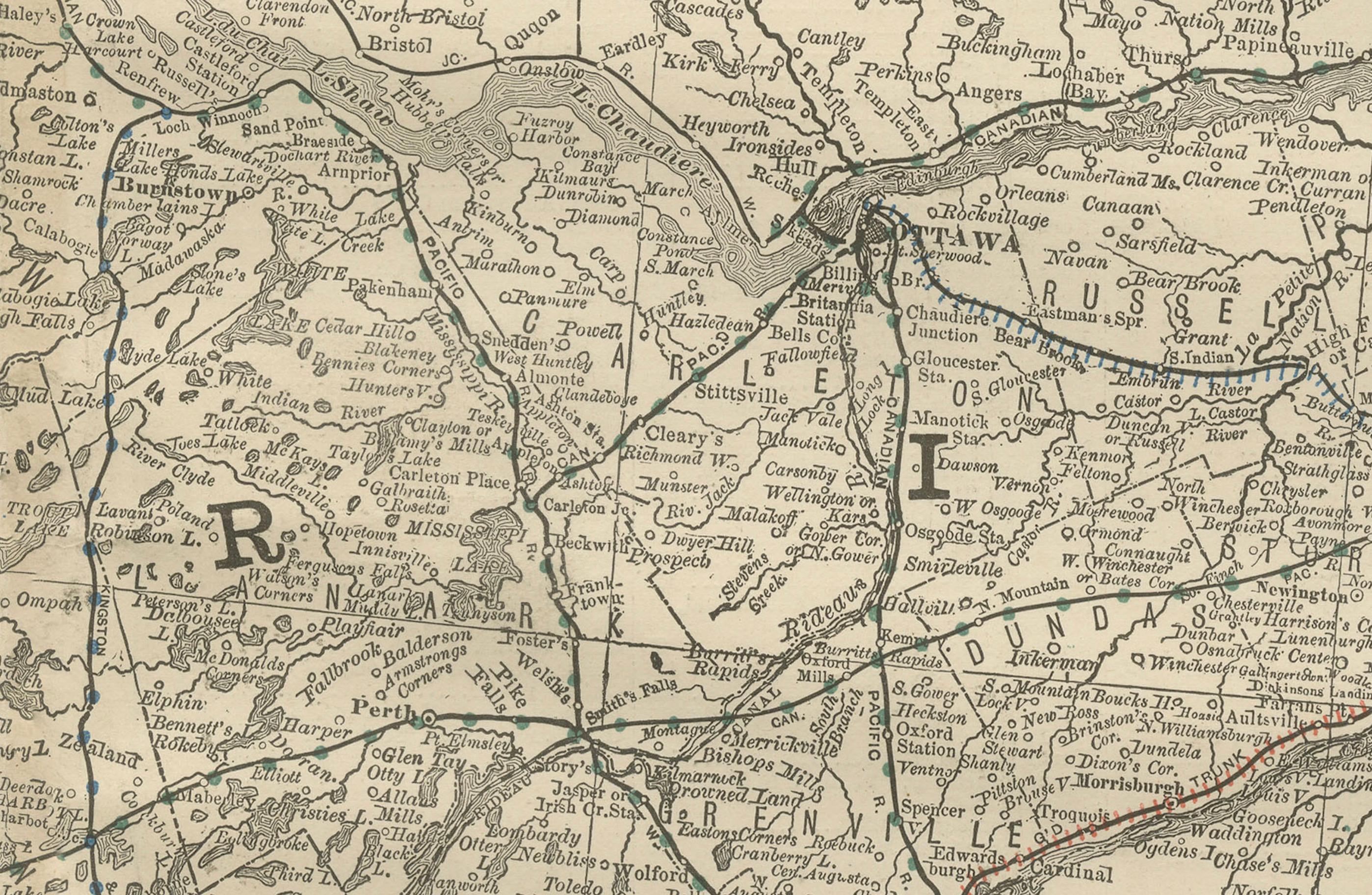
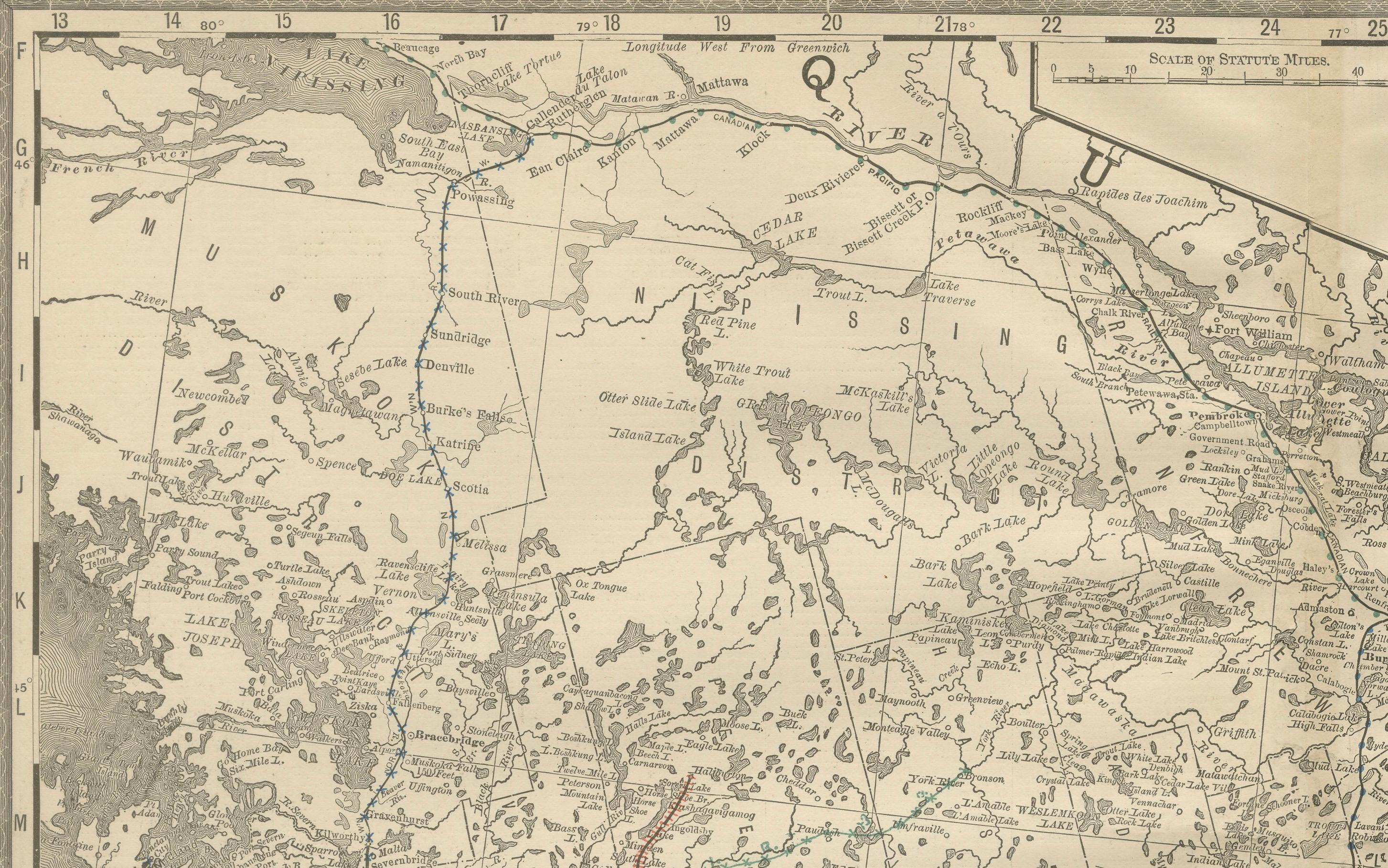
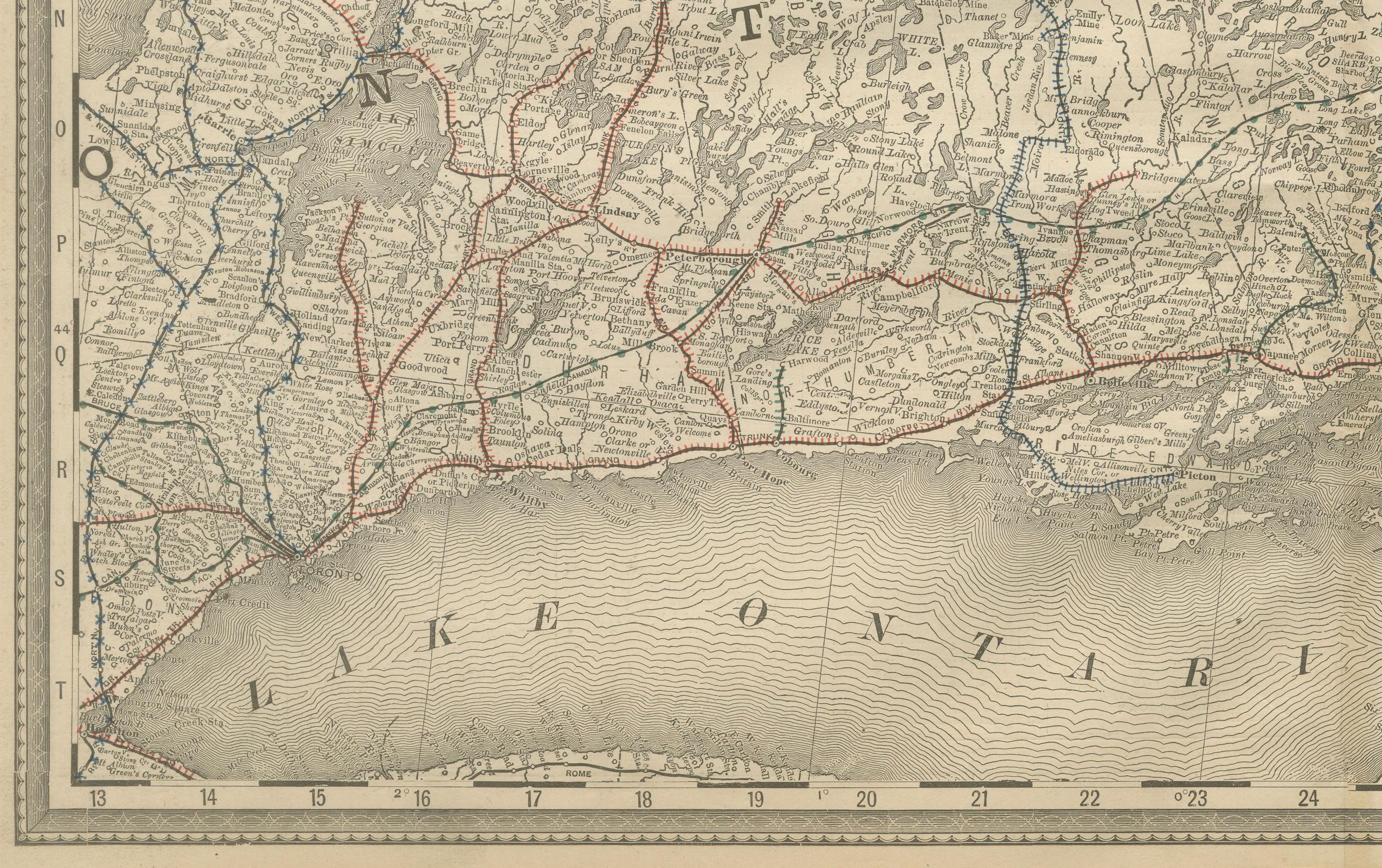
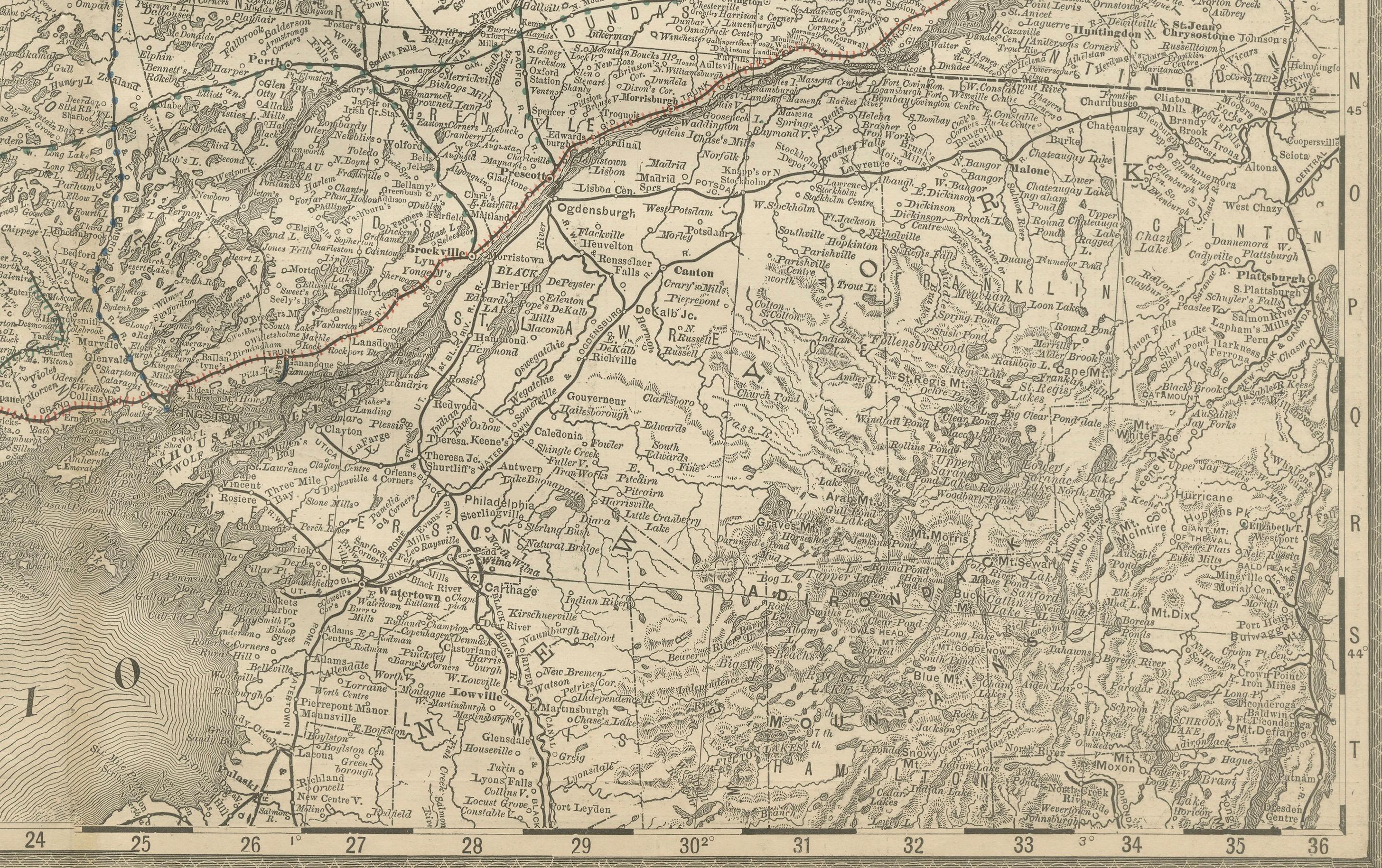
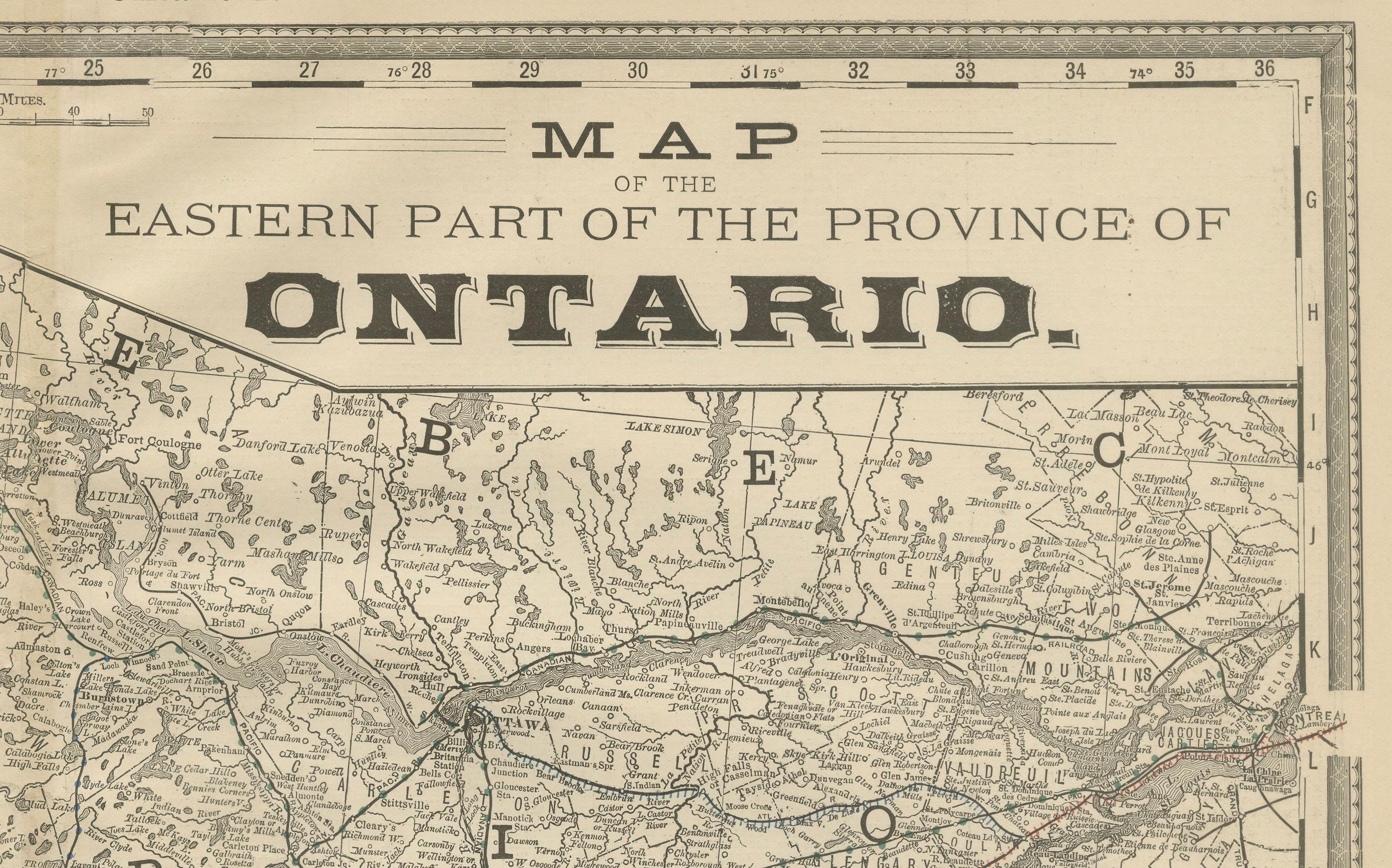
This antique map of eastern Ontario was published by Rand, McNally & Co. around 1888. Labeled “Ontario No. 2,” it presents the eastern portion of the province with its cities, towns, rivers, and expanding railroad network during the late 19th century.
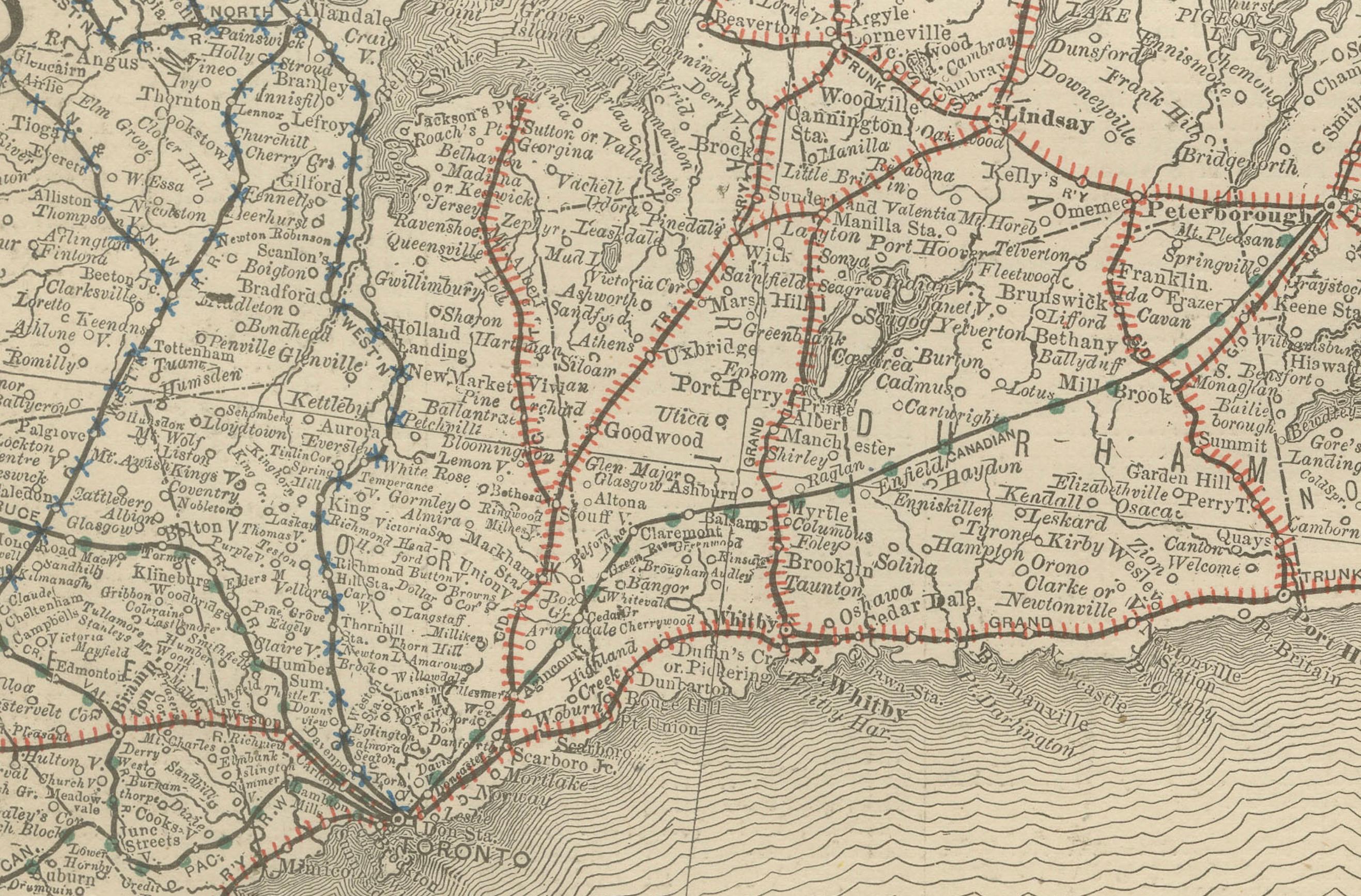
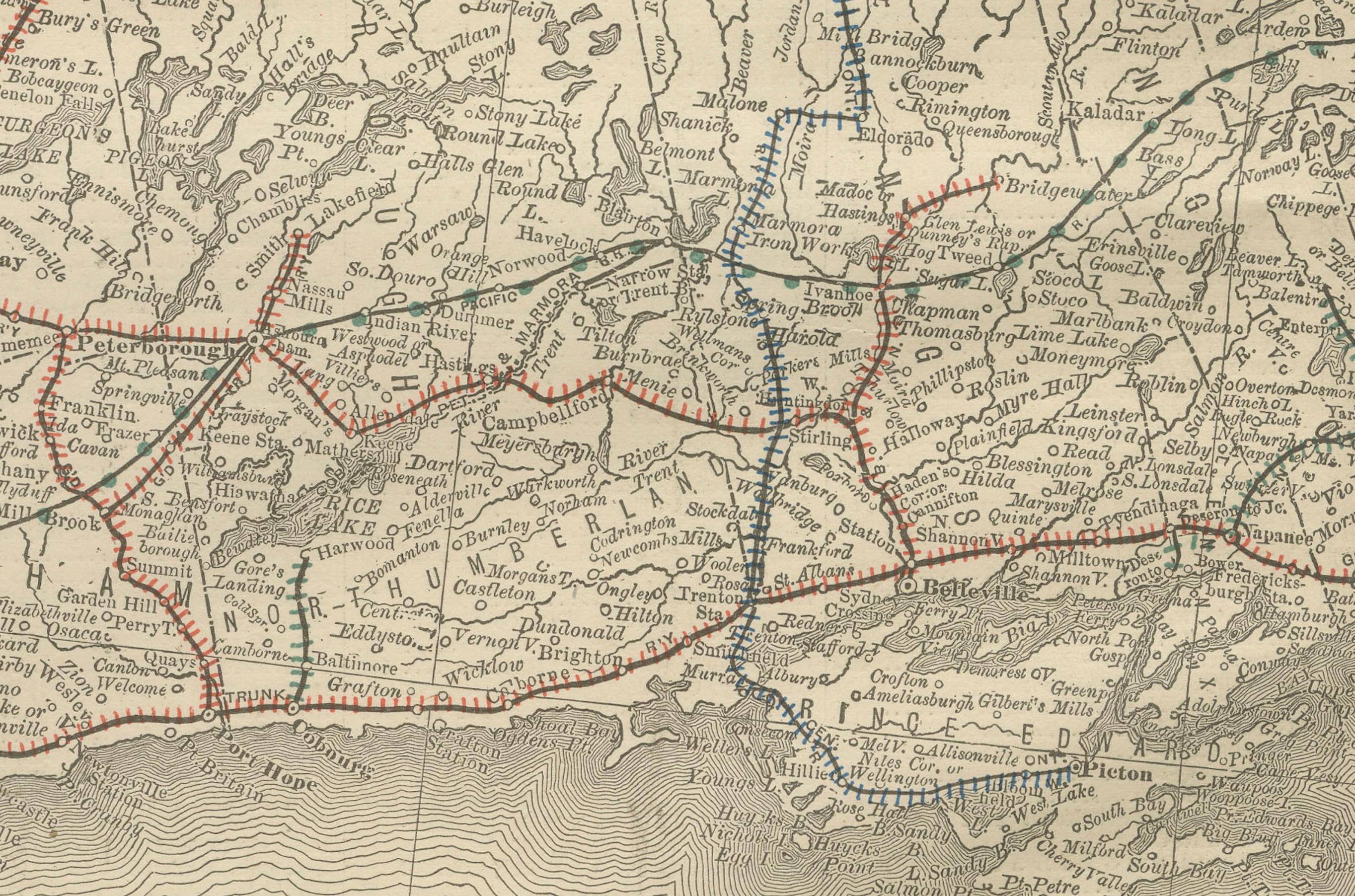
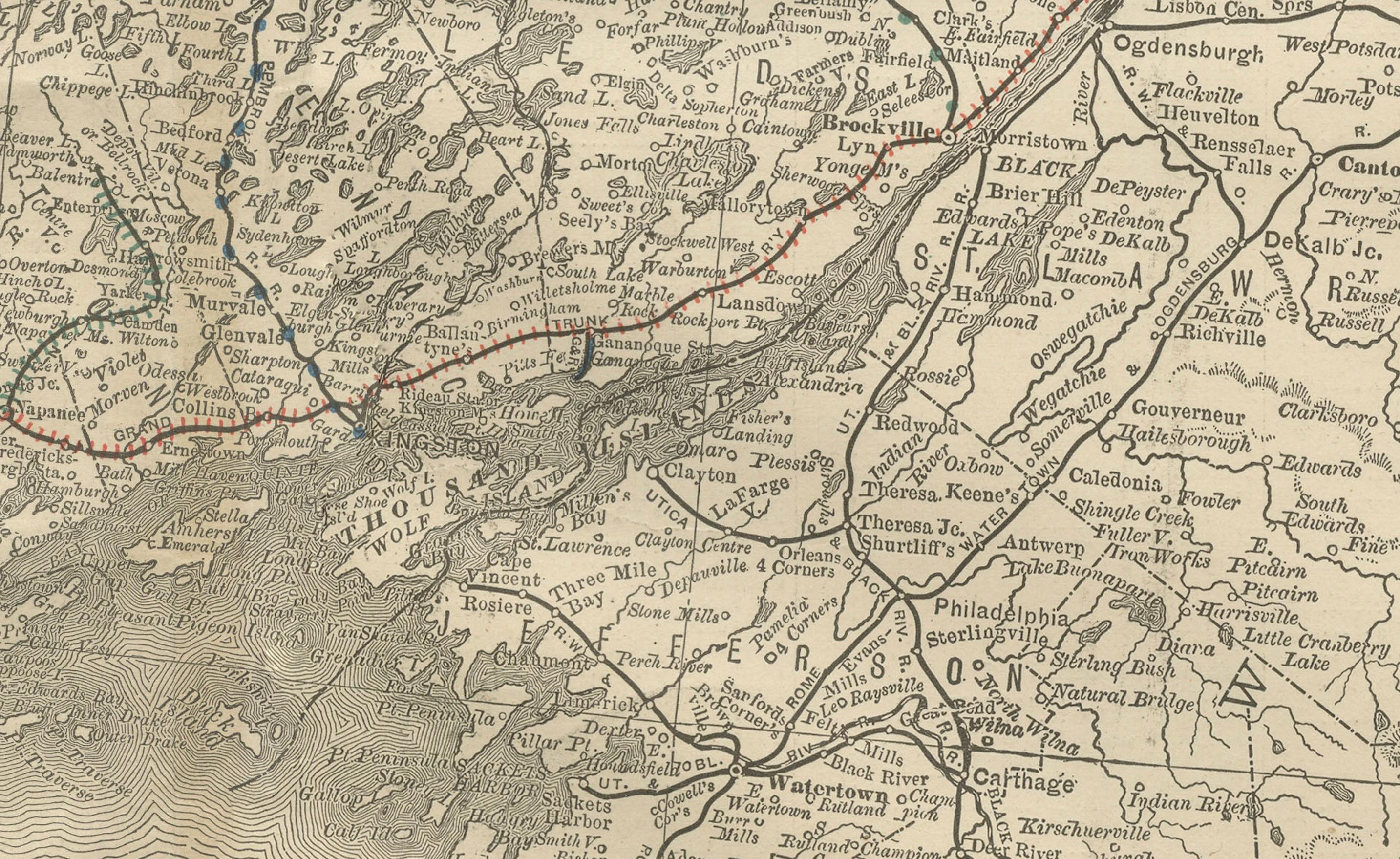
The map spans from Toronto and Lake Ontario eastward through Kingston and Ottawa, extending into the Ottawa River Valley and bordering Quebec. Lake Ontario is finely engraved with wave patterns, while towns, counties, and railway lines are carefully plotted throughout.
Red and blue lines trace the major railroad routes, showing the dense network radiating from Toronto, Kingston, and Ottawa. These connections illustrate eastern Ontario’s vital role as both an industrial and political hub of Canada. Smaller towns and villages are also carefully marked, showing the growing rural communities of the province during this period.
The precision of Rand McNally’s cartography captures both the bustling cities of southern Ontario and the more rugged areas northward, offering a complete picture of the region’s development. This map is particularly valuable to collectors of Canadian cartography, Ontario history, and 19th-century transportation.
Condition report:
Very good condition with light toning and faint darkening along the original center fold. Plate mark visible. Margins clean with minimal handling wear. Strong impression with crisp engraved detail.
Framing tips:
A walnut or dark oak frame with a cream mat works well for this piece. A double mat with ivory outer and muted blue inner will emphasize Lake Ontario and the Ottawa River, balancing the land and water features.
Technique: Lithograph with original outline color
Maker: Rand, McNally & Co., Chicago, circa 1888