Maps & PrintsBartele Gallery · Langweer
Home / Antique Maps / America

America · 19th century

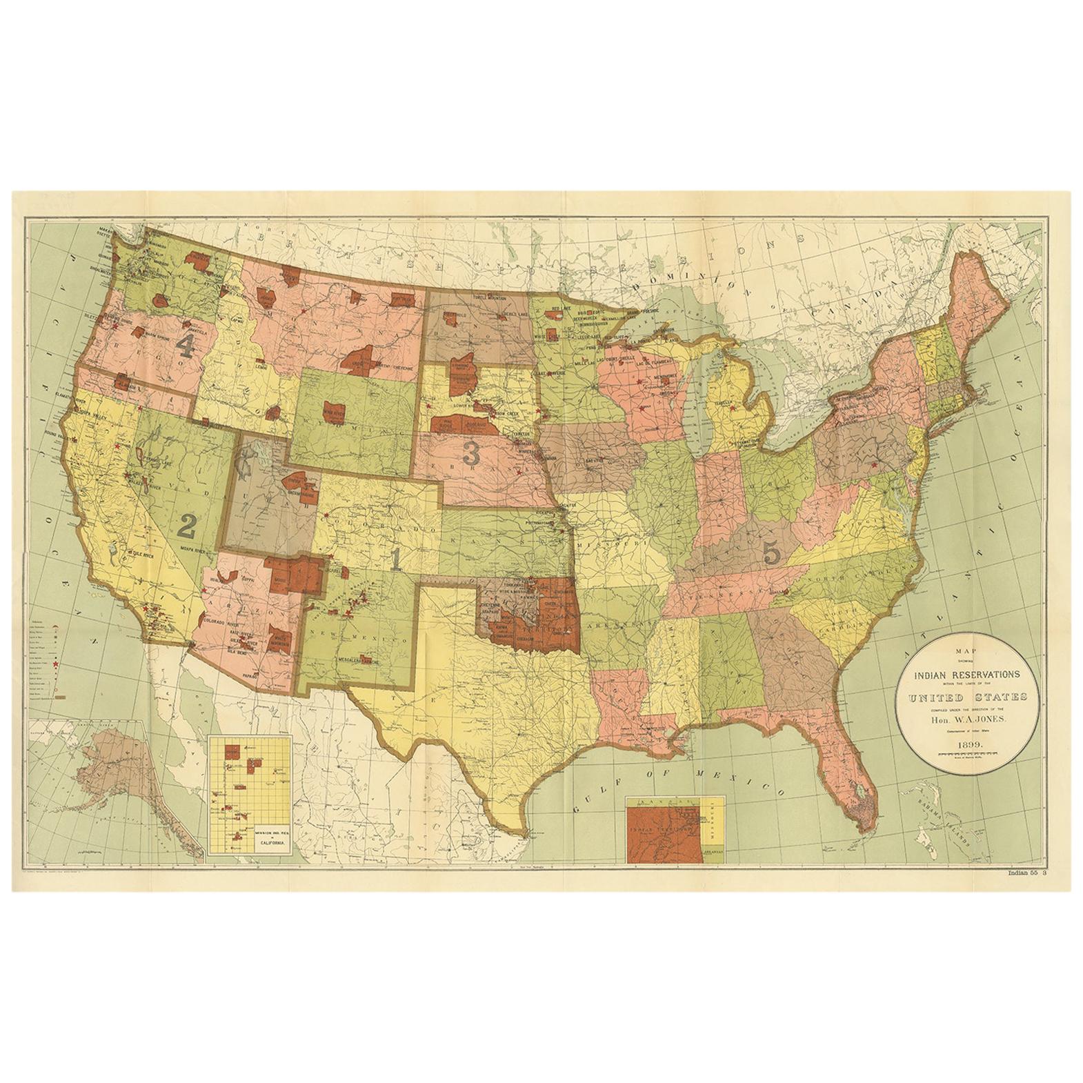
Antique Map Showing the Locations of Native American Tribes in 1899

€ 650

One of a kind: this is the sheet in the photographs. Ships from Langweer, the Netherlands.

Date
1899
Sheet size
58 × 87.5 cm (22.8 × 34.4 in)
Condition
Good
Reference
BG-11784

Condition

Beautiful colors, few small defects on folding lines. Please study images carefully.

About this sheet

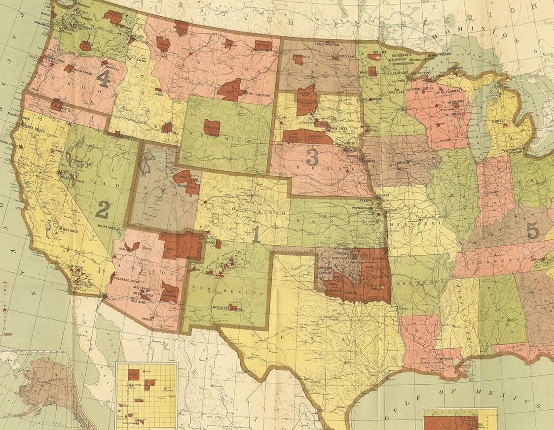
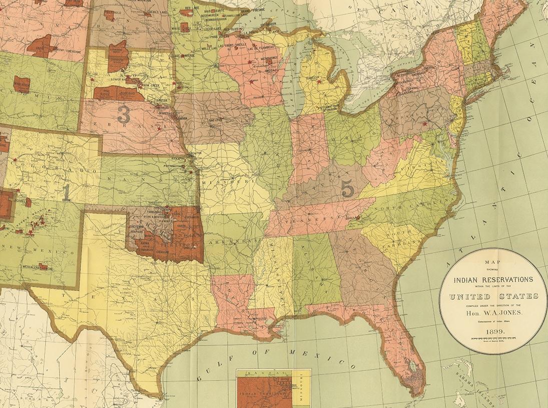
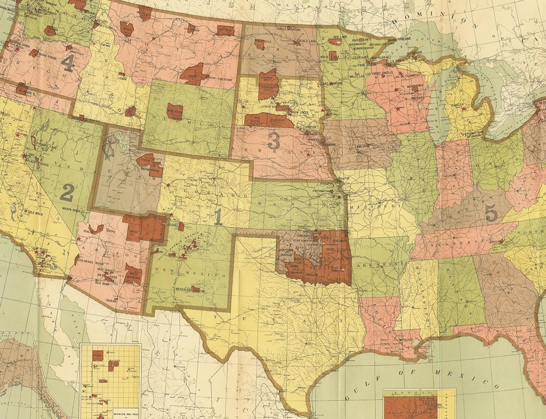
Antique map titled 'Map showing the Indian Reservations within the Limits of the United States'. Large folding map of the United States showing the Indian Reservations. The present map locates all the lands reserved to Native American Tribes as of 1899. Compiled under the direction of W.A. Jones.

More from America

Ask about this sheet

Antique Map Showing the Locations of Native American Tribes in 1899
1899 · Ref. BG-11784 · € 650
We reply by email, usually within one working day.