About this sheet
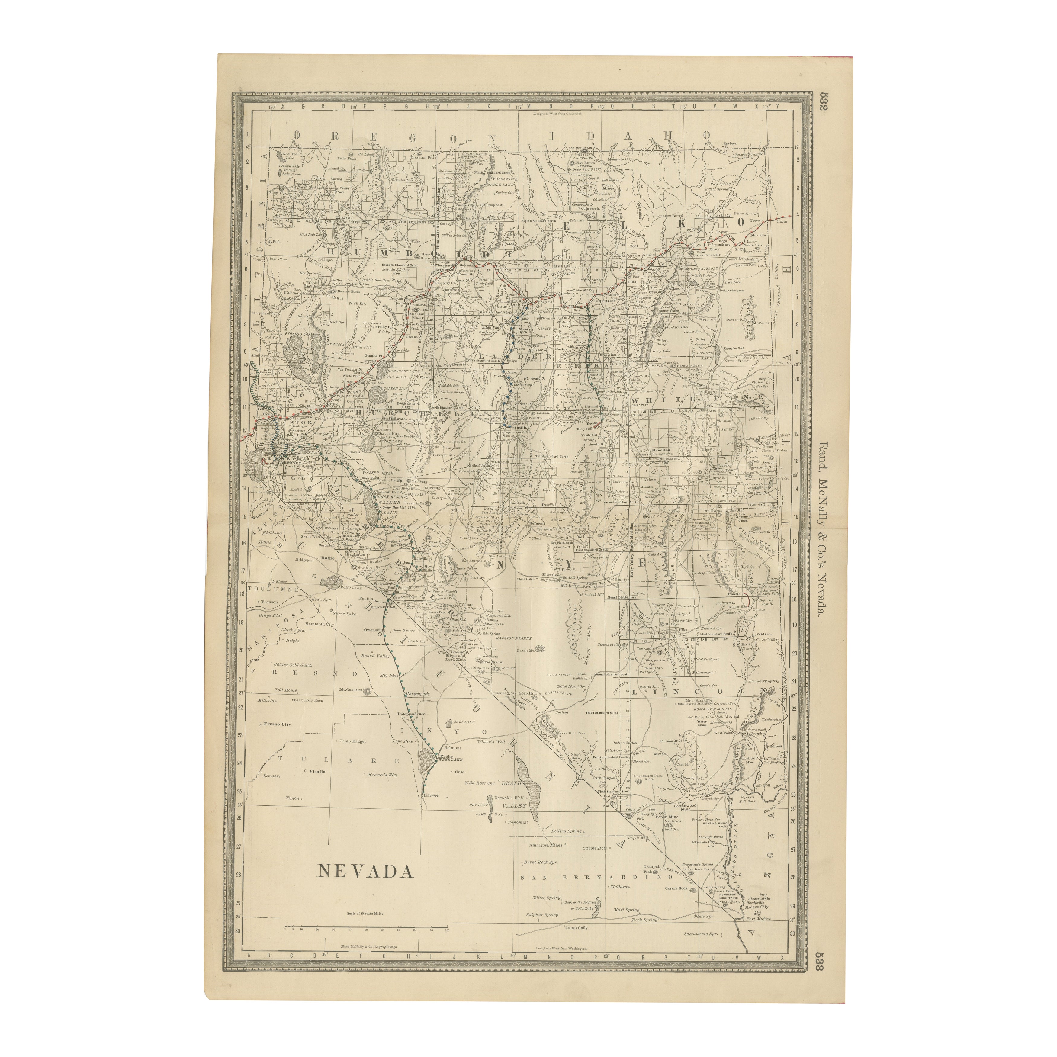
Antique Map of Nevada – Railroads, Mining Camps & Counties, 1888
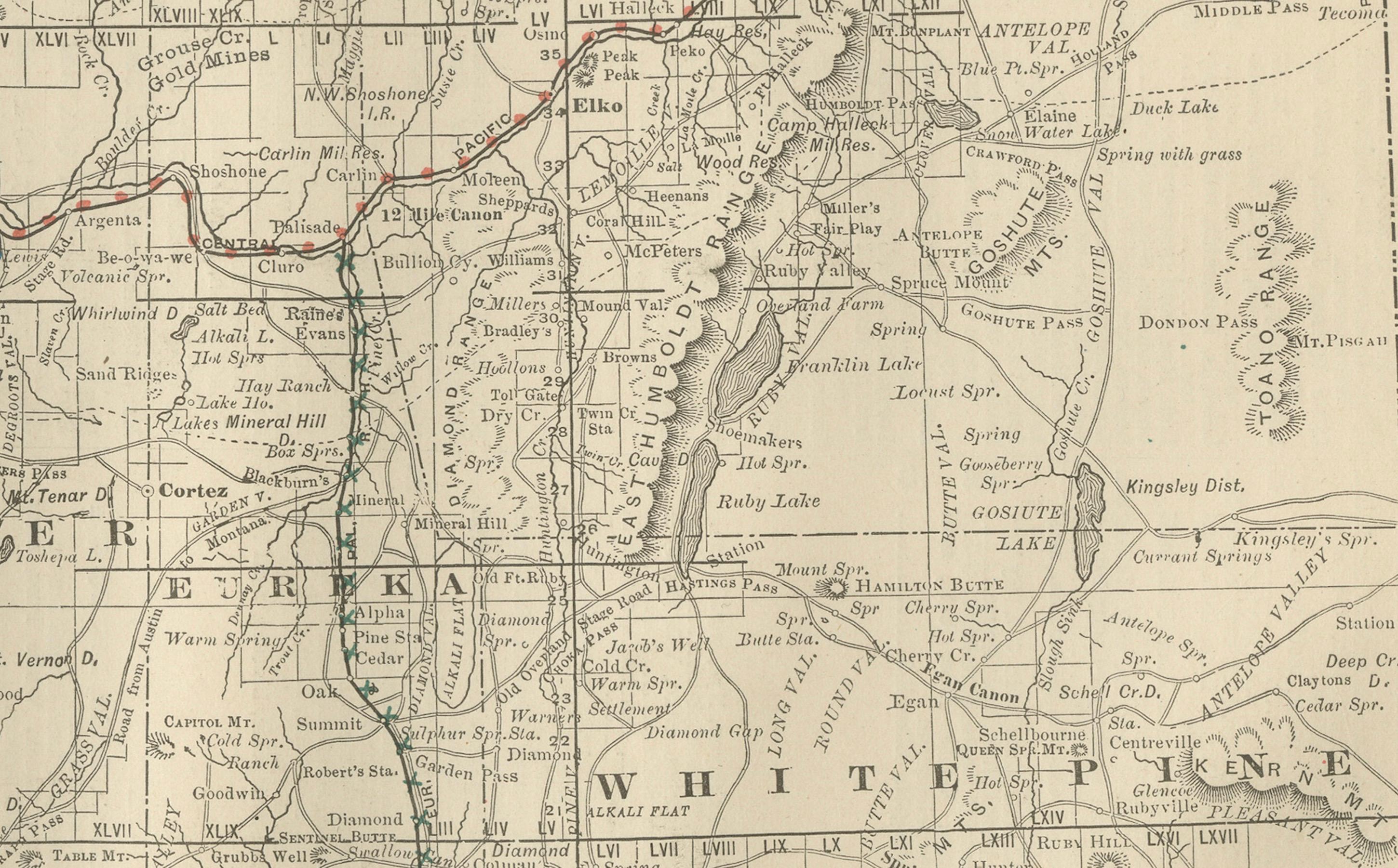
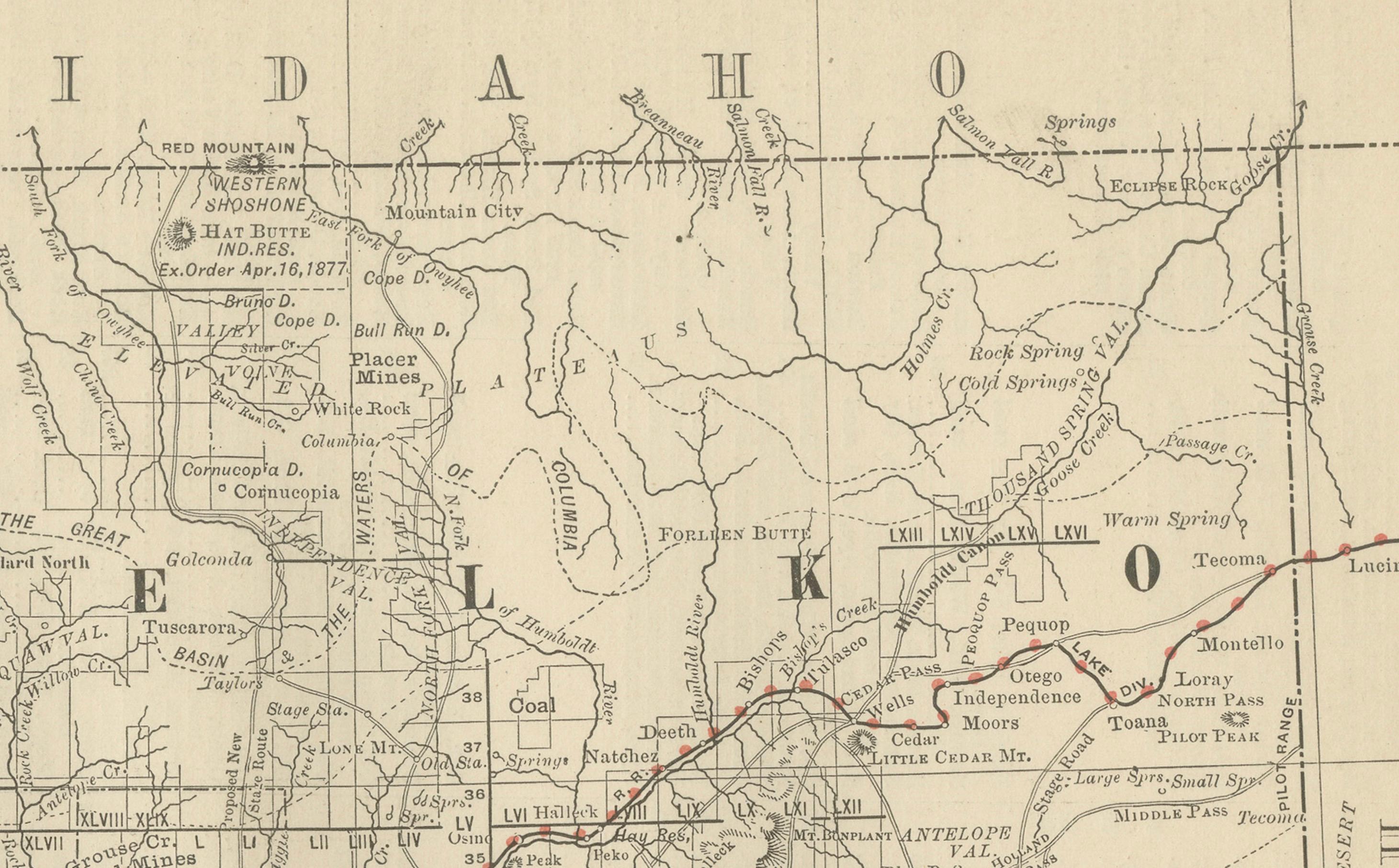
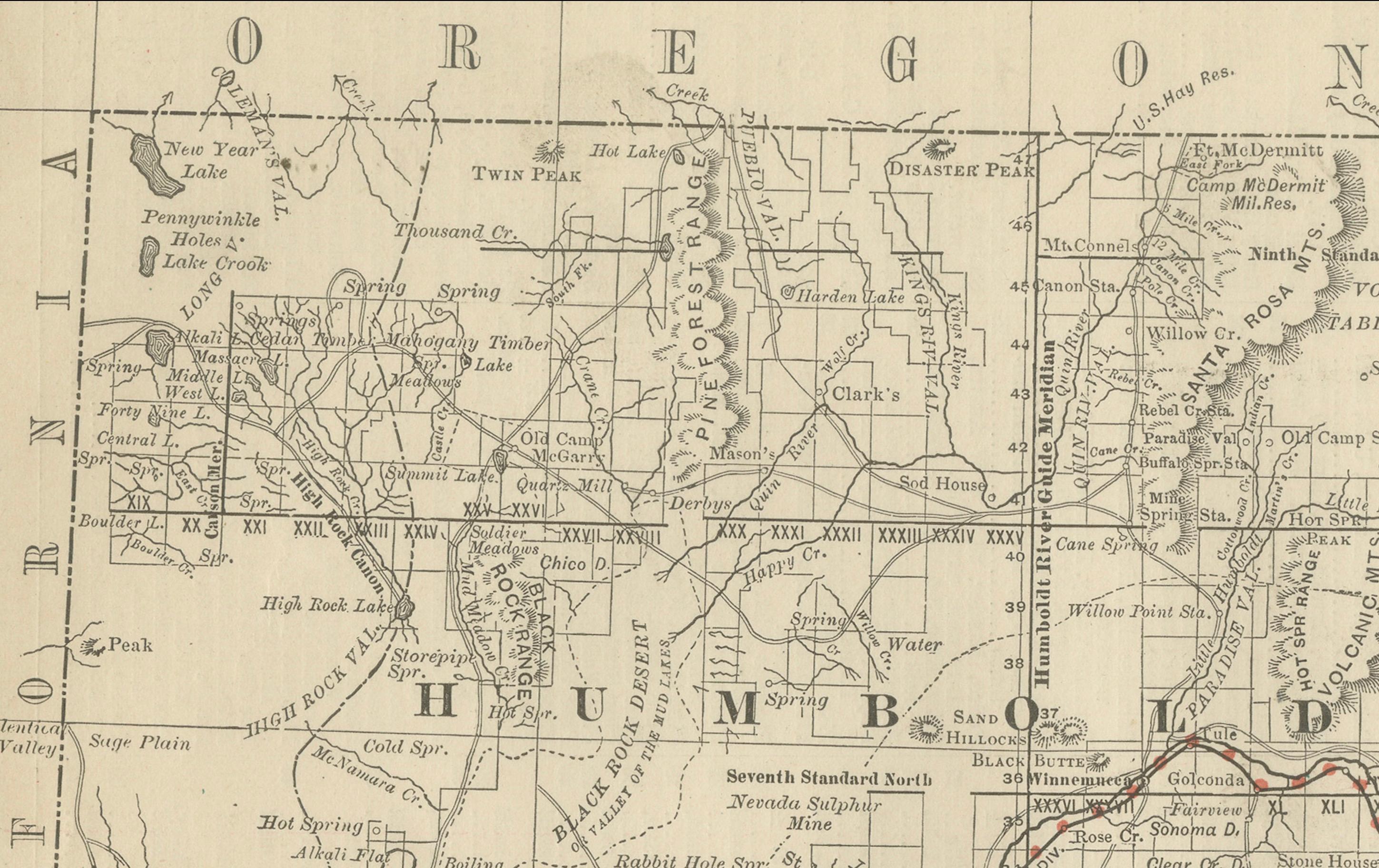
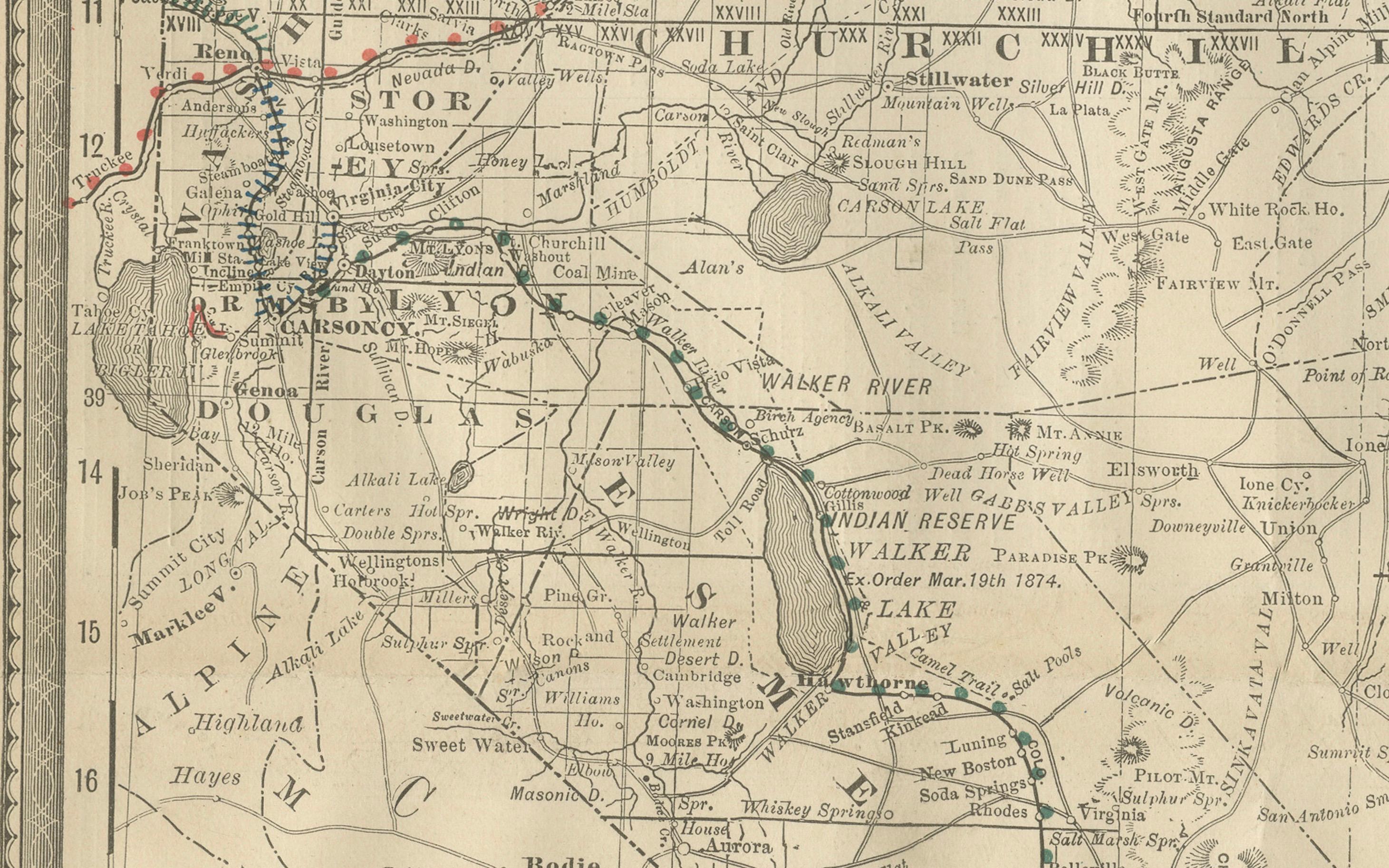
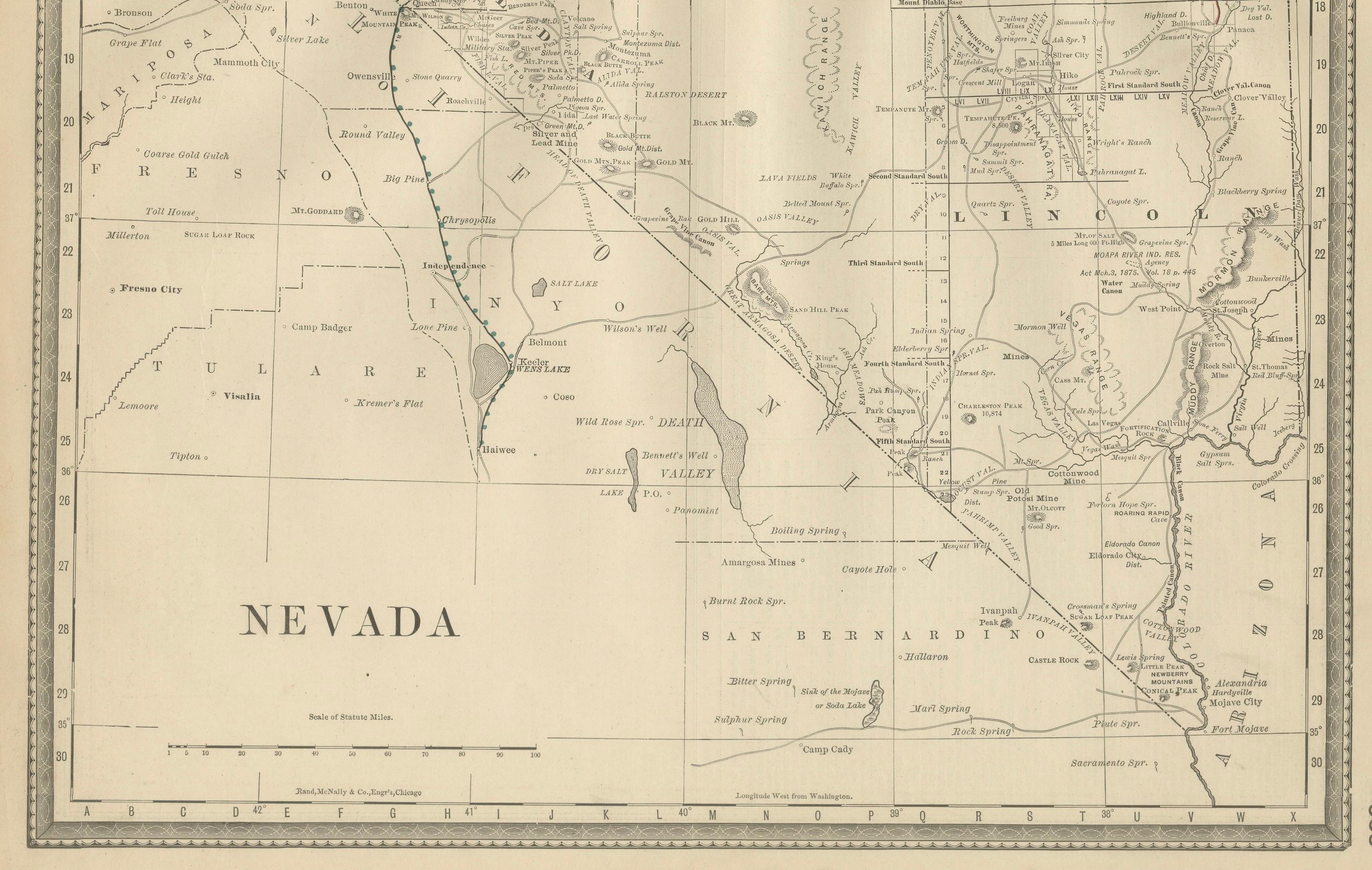
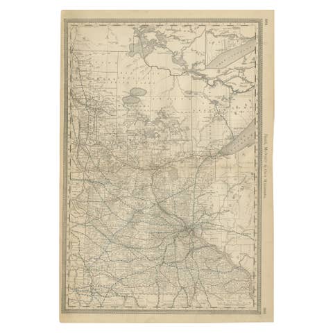
This antique engraved map depicts the state of Nevada in 1888, engraved and published by Rand, McNally & Co. in Chicago for their Improved Indexed Business Atlas and Shippers Guide. It captures Nevada during an era when mining, railroads, and frontier settlement shaped the state’s economy and identity.
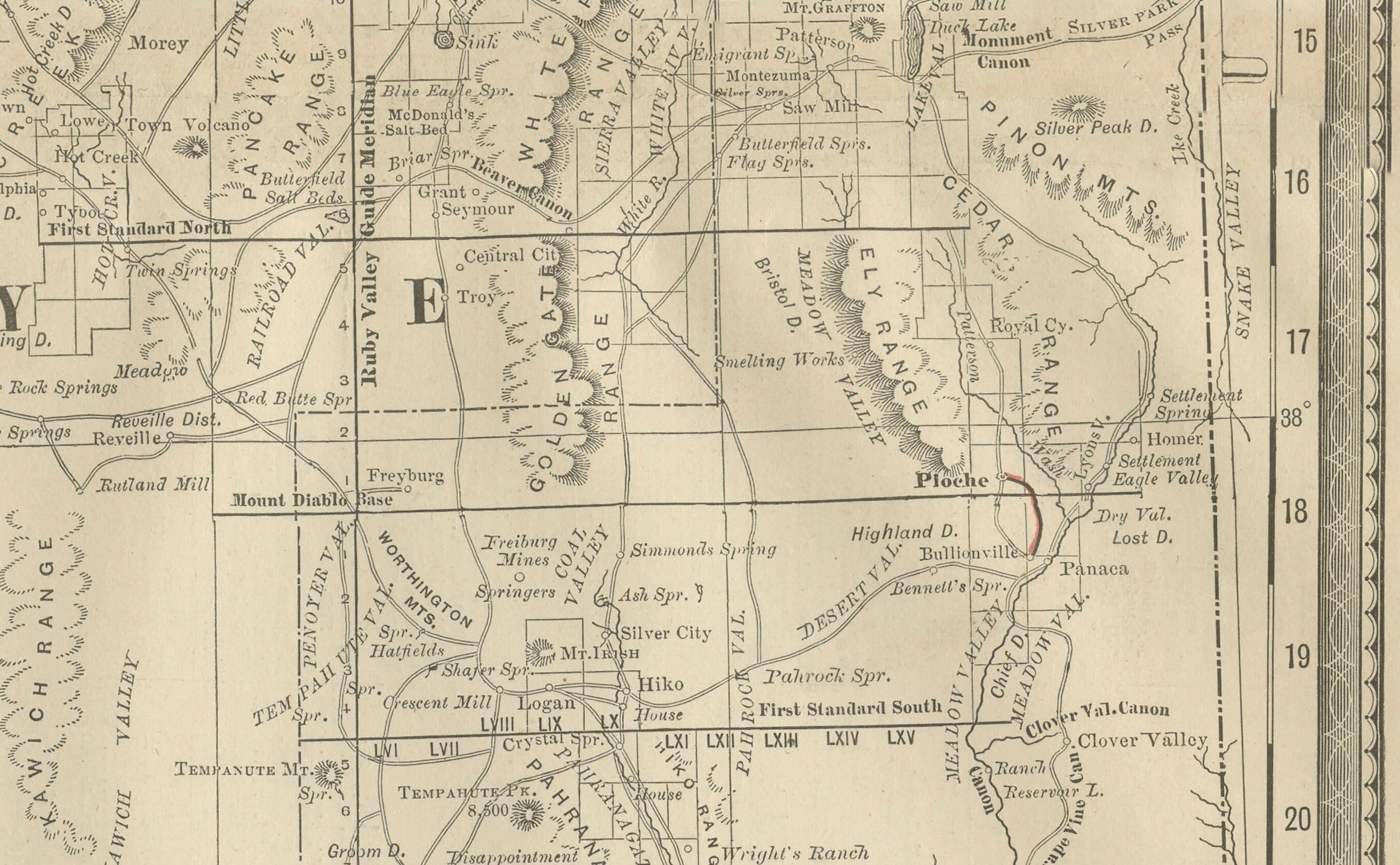
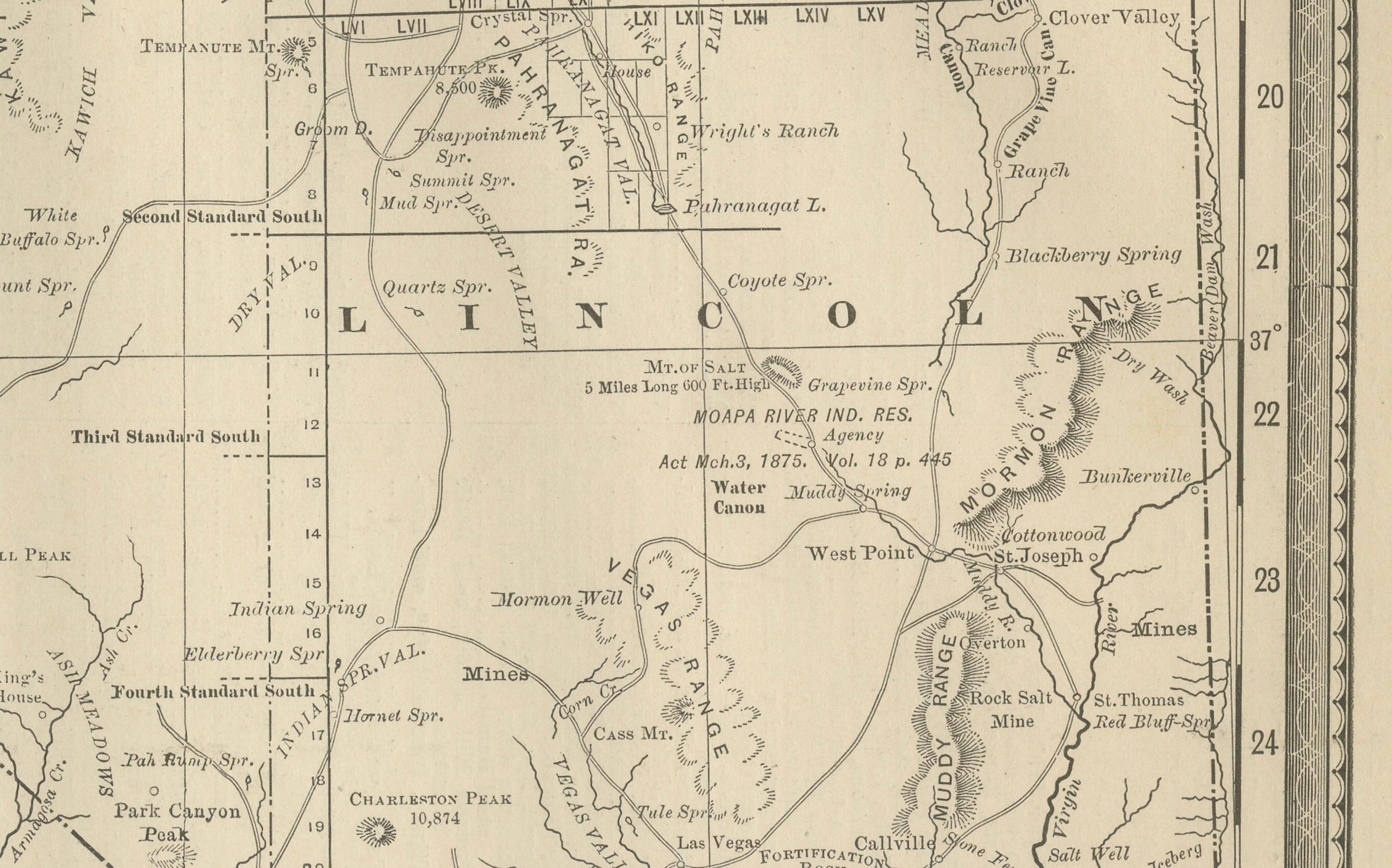
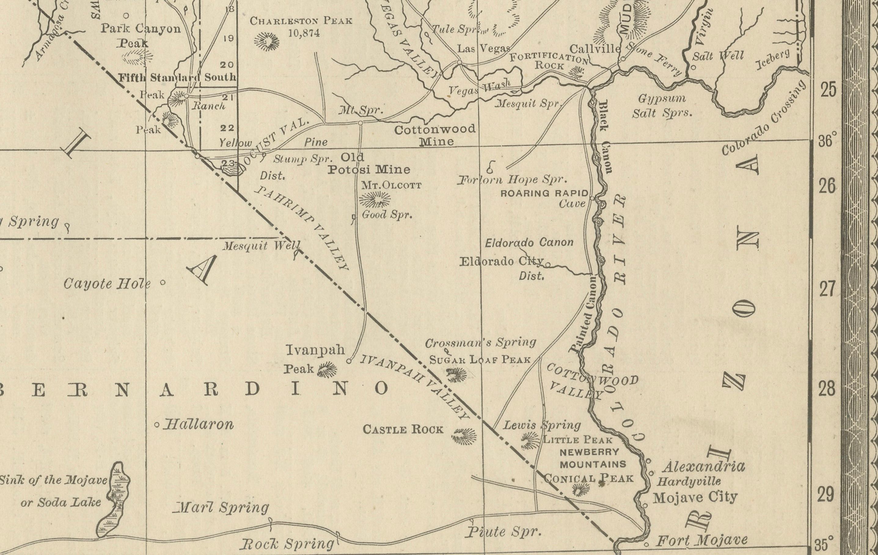
The map shows Nevada’s counties, towns, and railroad systems in careful detail. The Central Pacific Railroad, part of the first transcontinental line, is marked crossing northern Nevada through towns such as Elko, Winnemucca, and Reno, connecting California with Utah and beyond. Southern Nevada, though sparsely settled at the time, includes key routes and geographic features such as the Amargosa Desert and Death Valley, reflecting the harsh conditions of the region. Mining towns and districts, many of which boomed during the Silver Rush of the mid-19th century, appear throughout, including Virginia City, Gold Hill, Austin, and Eureka. These places were central to Nevada’s development after the discovery of the Comstock Lode in 1859, which transformed the territory and helped accelerate its admission to statehood during the Civil War in 1864.
The map also highlights natural features, including mountain ranges such as the Sierra Nevada on the western edge, the Humboldt River in the north, and the Great Basin, which covers much of the state. Boundaries with California, Oregon, Idaho, Utah, and Arizona are carefully drawn, showing Nevada’s central position in the western frontier.
By 1888, Nevada was experiencing the post-rush decline of some mining districts, but others continued to flourish, and railroads provided the infrastructure necessary for survival in the remote desert environment. This map reflects the balance between settlement, resource extraction, and transportation at a formative stage in the state’s history.
Engraved with precision, the map was printed to serve as a reference for shippers, businessmen, and travelers. Its clarity and accuracy embody Rand McNally’s reputation as a premier cartographic publisher of the 19th century.
Condition summary: Good condition overall. Even toning to the paper, faint foxing in margins, and minor handling marks consistent with age. Original fold lines as issued, no significant tears or repairs. Paper remains strong, with crisp engraved detail.
Framing tips: A dark wood frame such as walnut or mahogany will emphasize the antique aesthetic, while a black frame with a cream or ivory mat offers a clean, modern presentation. A double mat in ivory with a soft desert-toned accent (light brown or ochre) can draw attention to Nevada’s rugged landscape.
Technique: Engraving
Maker: Rand, McNally & Co., Chicago, 1888