About this sheet
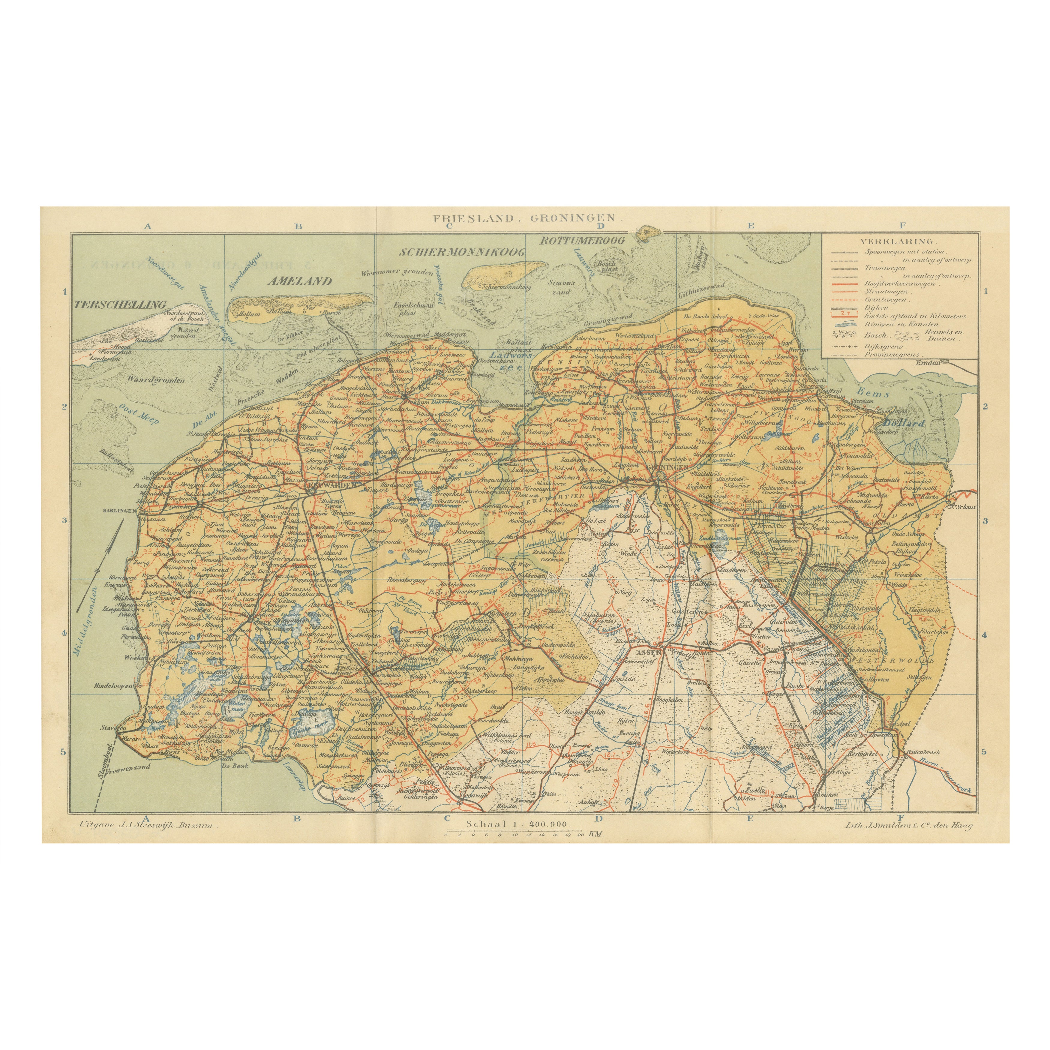
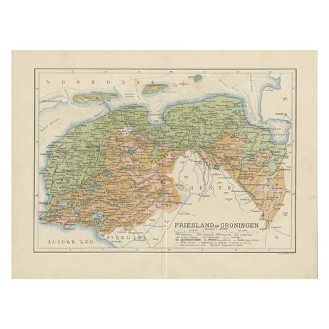
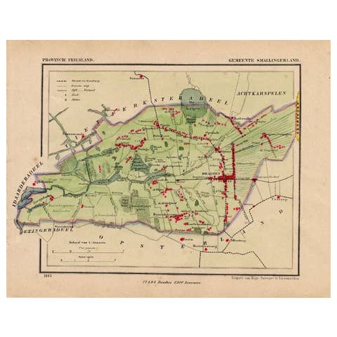
Antique Map of Friesland & Groningen – Sleeswijk Atlas, 1914
This antique map of Friesland and Groningen was published in 1914 in the Sleeswijk Atlas, a Dutch school atlas that shaped geography education throughout the early 20th century. The map highlights the northernmost provinces of the Netherlands, known for their vast open landscapes, waterways, and historic towns.
The sheet extends from the Wadden Sea islands of Terschelling, Ameland, Schiermonnikoog, and Rottumeroog in the north down to the Drenthe border in the south. Major towns such as Leeuwarden, Dokkum, Sneek, Franeker, Harlingen, and Groningen are clearly marked, along with smaller villages, reflecting the dense yet rural settlement structure of the region. The province’s extensive canal system, polders, and reclaimed lakes are meticulously rendered, showing Friesland’s unique relationship with water and land reclamation. In Groningen, the map also depicts the fertile clay regions, the Dollard estuary, and the growing urban and industrial center of the city of Groningen itself.
The railway system, shown in red, reveals the development of regional connectivity, while the legend (“Verklaring”) clarifies roads, tramways, waterways, boundaries, and dike lines. With its scale of 1:400,000, the map is both educational and precise, providing an accurate picture of the provinces on the eve of the First World War.
This map was published by A. Sleeswijk in Bussum and lithographed by J. Smulders & Co. in The Hague, a collaboration that produced some of the finest Dutch educational maps of the era. The color scheme is subtle yet effective, balancing legibility with aesthetic appeal, which made these maps both practical for classroom use and attractive as historical documents today.
Condition report: Very good condition with original centerfold as issued. Minor toning and small signs of handling at the margins. Plate mark visible. Colors remain fresh and sharp.
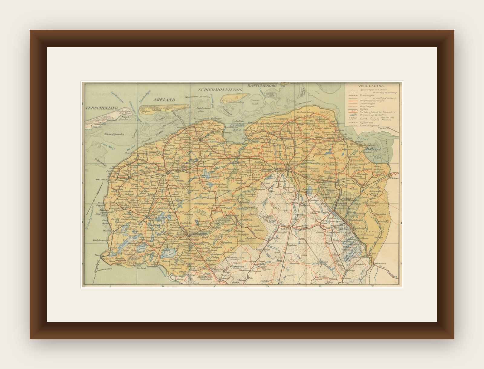
Framing tips: A cream or light ivory mat will enhance the soft tones of the map, while a slim black or dark oak frame provides contrast and a timeless presentation. A gilt frame can be chosen for a more decorative finish that highlights the historic character.