Black Friday starts Friday 20 November: up to 30% off, plus free FedEx shipping on qualifying orders →
Orders placed from 15 to 30 November ship from 1 December, in time for Christmas. Our shipping partner: InXpress.
Maps & PrintsBartele Gallery · Langweer
Home / Antique Maps / Asia / South-East Asia / East Indies

Antique Maps of East Indies

73 original sheets
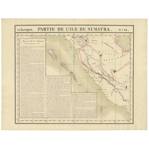
Antique Map of West Sumatra by P.M.G. Vandermaelen, 1827
1827 · € 495
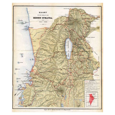
Antique Map of Part of Sumatra by Stemler, c.1875
1875 · € 123
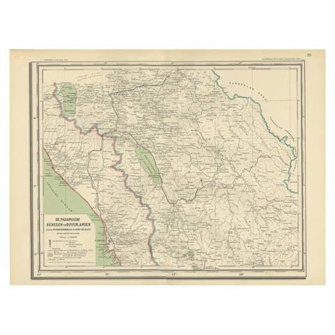
Antique Map of Padang, Sumatra, Indonesia, 1900
1900 · € 280
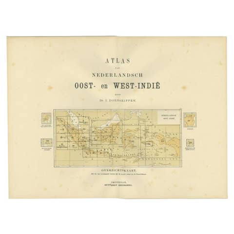
Antique Map of the East Indies by Dornseiffen, 1900
1900 · € 140
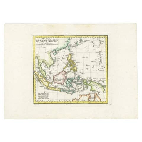
Antique Map of Dutch East Indies (Indonesia) by C.F. Delamarche, Circa 1806
1806 · € 560
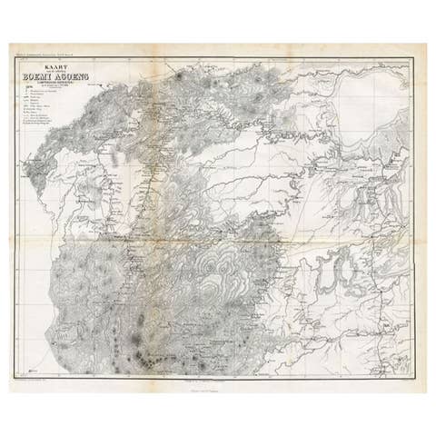
Antique Map of the District of Boemi Agoeng by Stemler, c.1875
1875 · € 78
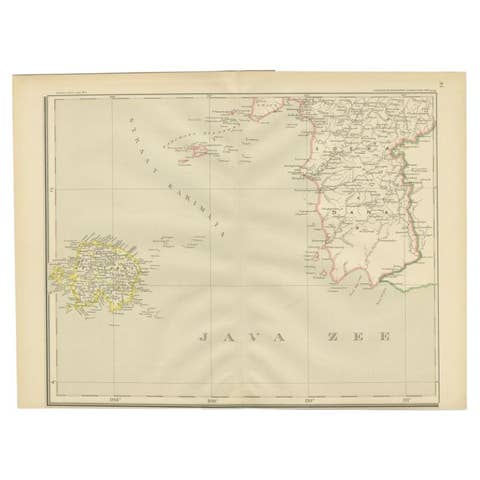
Antique Map of the Java Sea by Dornseiffen, 1900
1900 · € 190
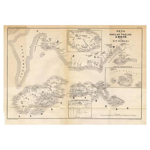
Antique Map of the Maluku Islands 'Ambon' by Stemler, 1874
1874 · € 100
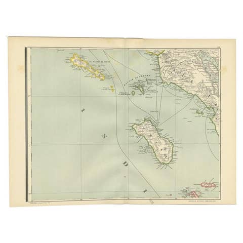
Antique Map of the Nias Archipelago, Sumatra, Indonsia, 1900
1900 · € 240
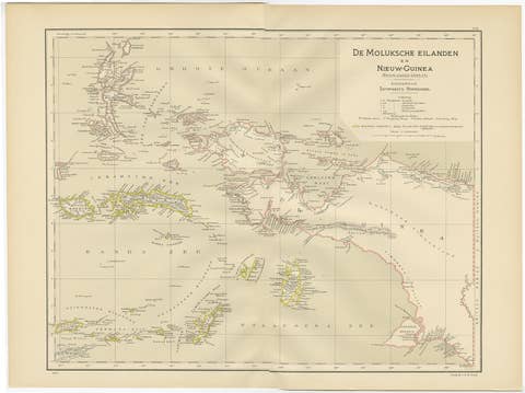
Antique Map of the Moluccas and Irian Jaya (Papua), Indonesia, 1900
1900 · € 224
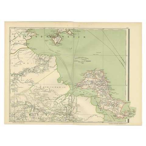
Antique Map of the Region of Banjarmasin, Indonesia 1900
1900 · € 220
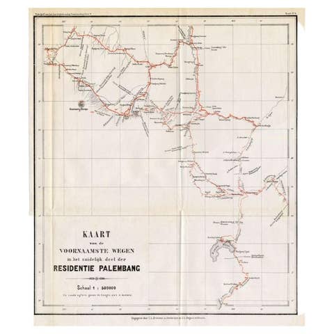
Antique Map of the Main Roads of Palembang by Stemler, c.1875
1875 · € 75
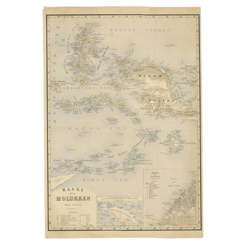
Antique Map of the Moluccas by Stemfoort, 1885
1885 · € 265
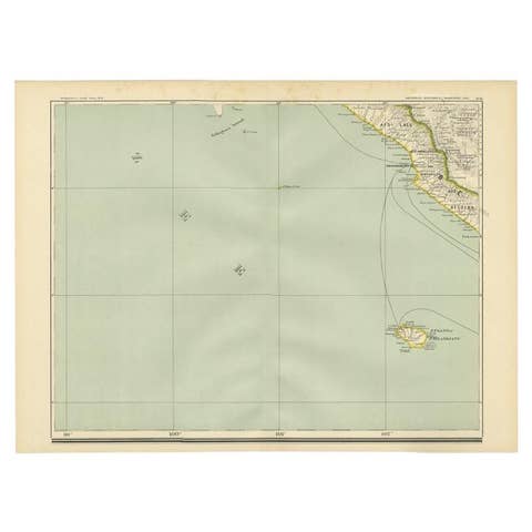
Antique Map of the Region of Bengkulu in Indonesia, 1900
1900 · € 93
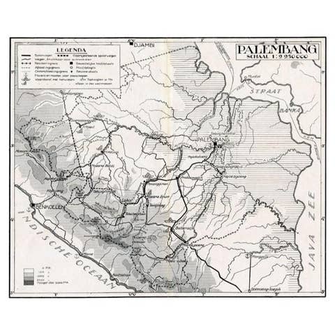
Antique Map of the Palembang Area, c.1900
1900 · € 73
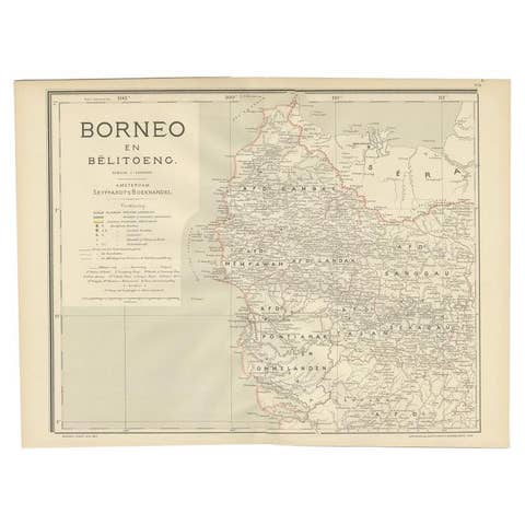
Antique Map of West Kalimantan, Borneo, Indonesia, 1900
1900 · € 259
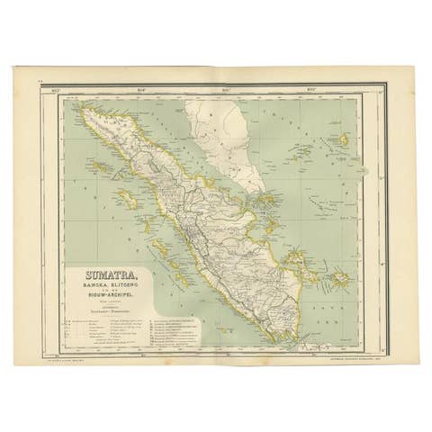
Antique Map of West Sumatra, Indonesia, 1900
1900 · € 290
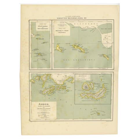
Antique Map of the West Indies and Ambon in Indonesia, 1900
1900 · € 140
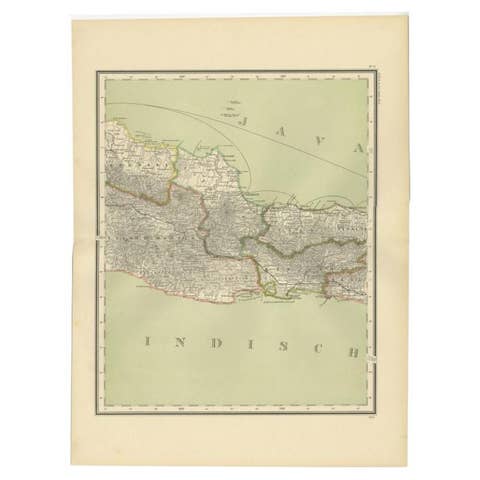
Antique Map of Part of Java, Indonesia, 1900
1900 · € 290
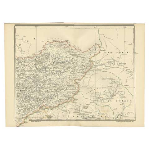
Antique Map of West Kalimantan (Schwaner Mountains), Borneo, Indonesia, 1900
1900 · € 330
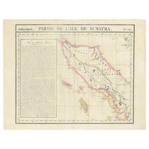
Detailed Antique Map of Northern Sumatra, Indonesia, circa 1825
1825 · € 420
Colonial Cartography: The Banda Islands - the Epicenter of the Spice Trade, 1818
1818 · € 840
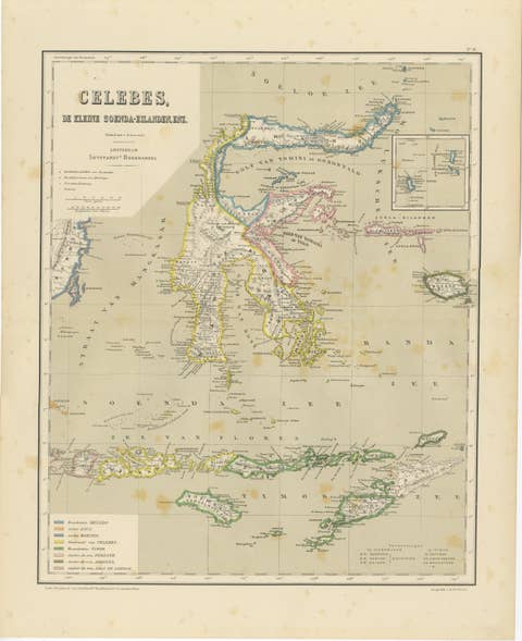
Antique Colonial Map of Celebes Sulawesi & Lesser Sunda Islands, 1884
1884 · € 290
Antique Map of Halmahera, Ternate, Tidore,  Moluccas by Dornseiffen - 1884
Antique Map of Halmahera, Ternate, Tidore, Moluccas by Dornseiffen - 1884
1884 · € 290
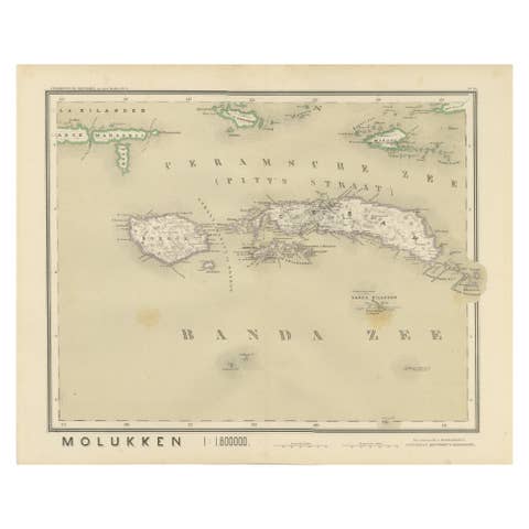
Antique Map of Ceram, Ambon, Banda, Buru, Moluccas by Dornseiffen - 1884
1884 · € 290

Your favorites

Saved in this browser. Email the list to yourself to keep it on any device.

We use your email to send this list and, only if you tick the box and confirm, for occasional new arrivals. Every email has an unsubscribe link. Bartele Gallery, the Netherlands.

Powered by SiteKeys