Vibrant 1782 Map of Northern Upper Saxony and Baltic Coast by Antonio Zatta
€ 340
One of a kind: this is the sheet in the photographs. Ships from Langweer, the Netherlands.
Date
1782
Sheet size
39 × 50.5 cm (15.4 × 19.9 in)
Condition
Good
Reference
BG-13842-14
Condition
Condition report: This map is in good condition with slight toning and minor edge wear, typical for its age. Colors remain vibrant, and details are well-preserved, maintaining the map's original charm and historical integrity.
About this sheet
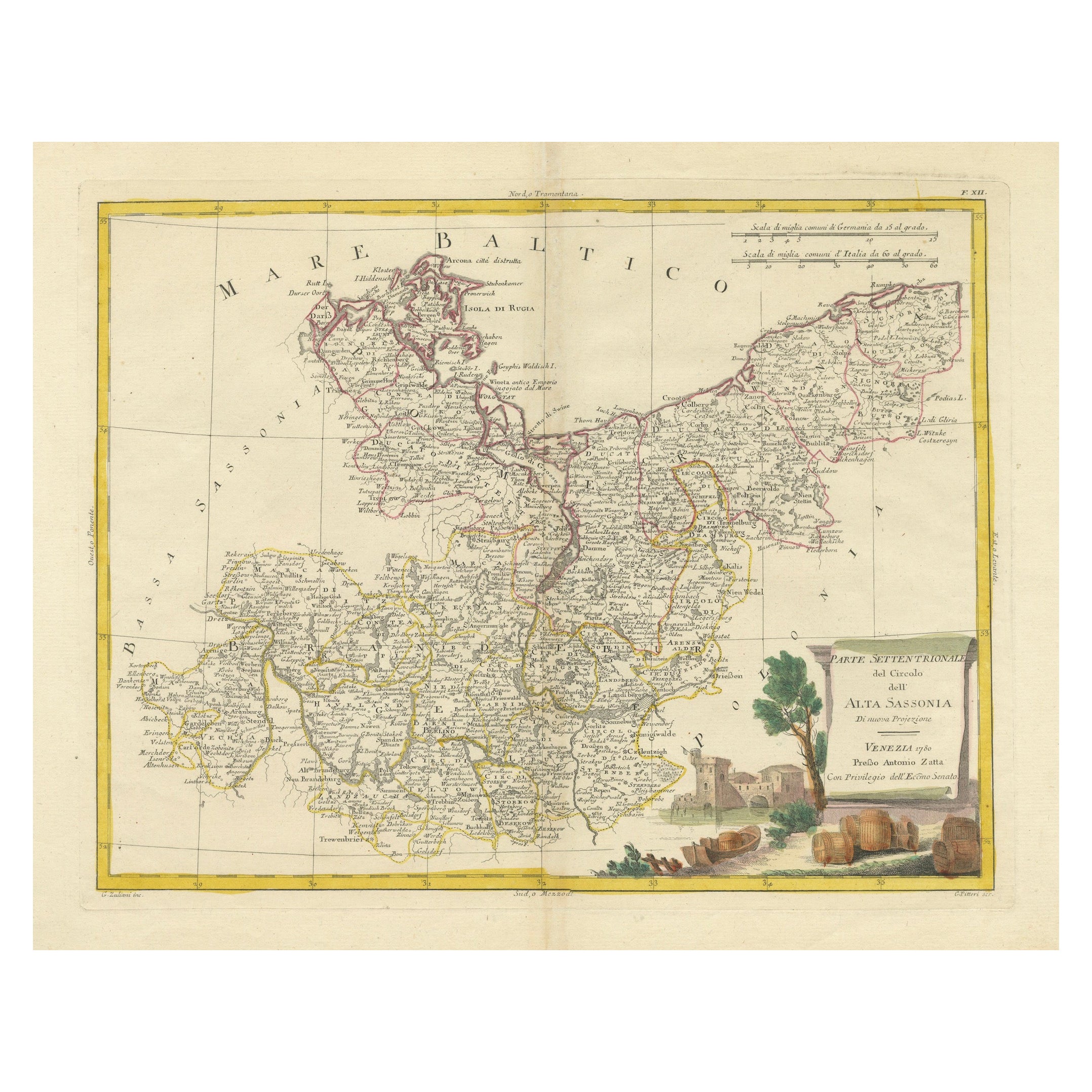
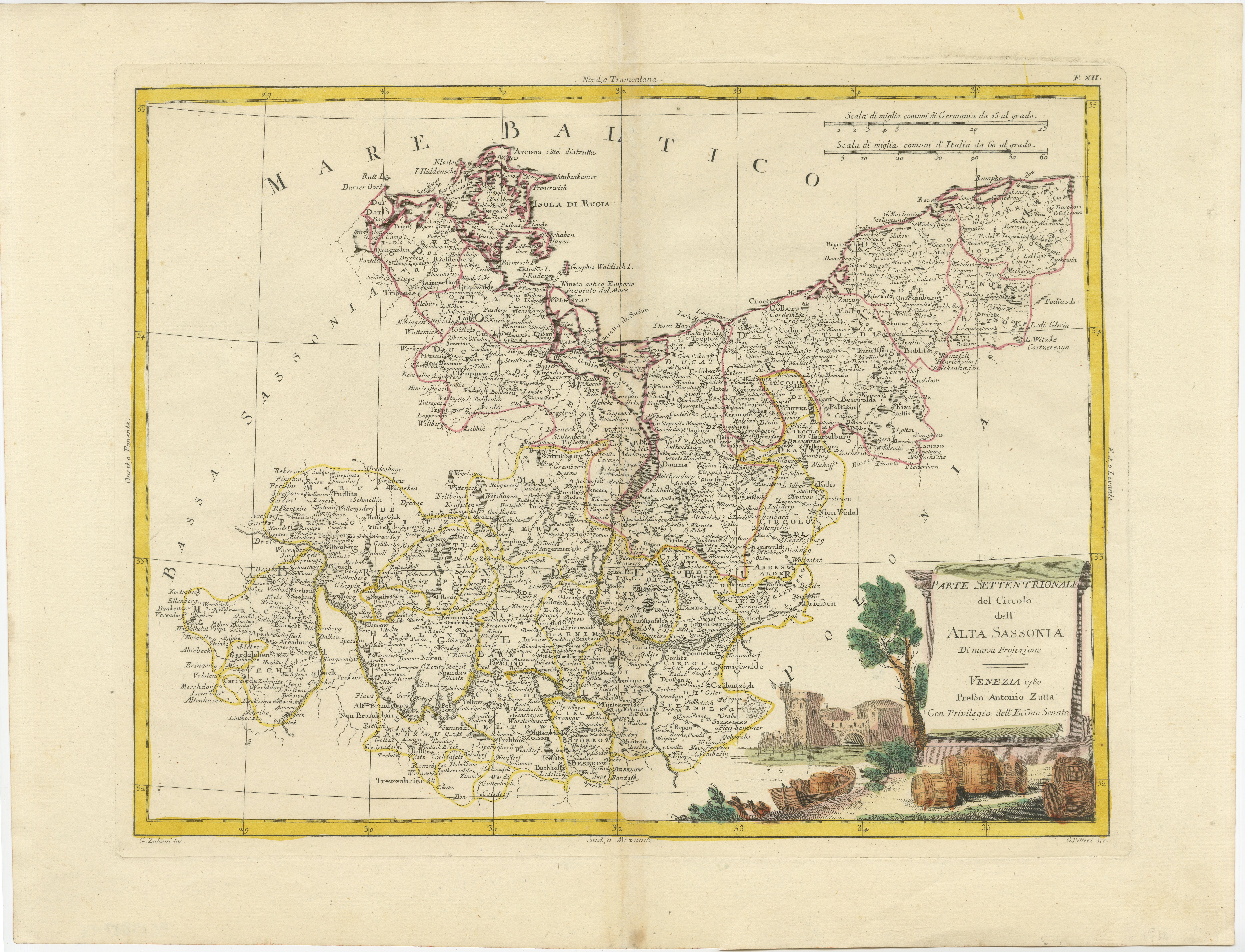
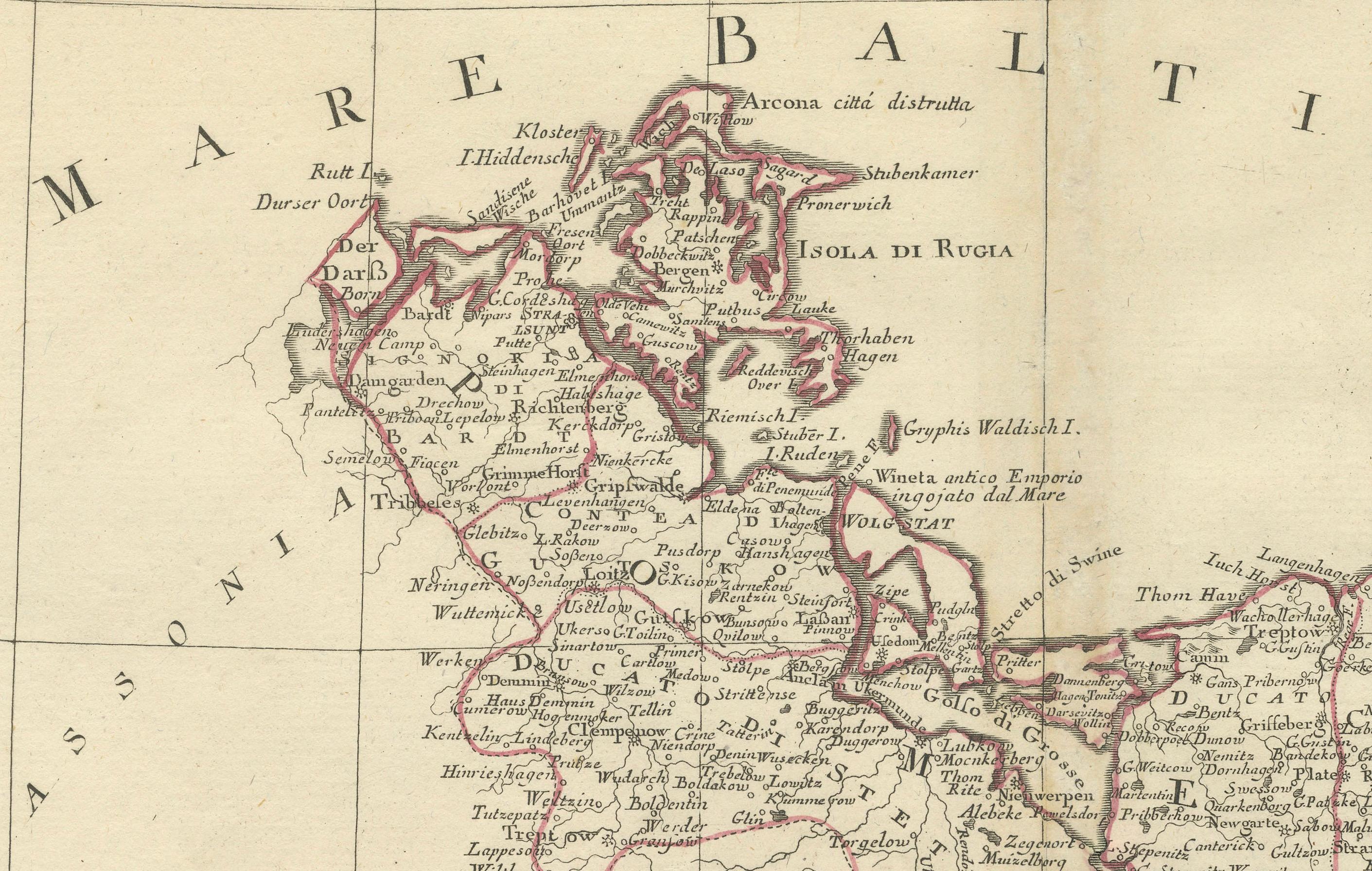
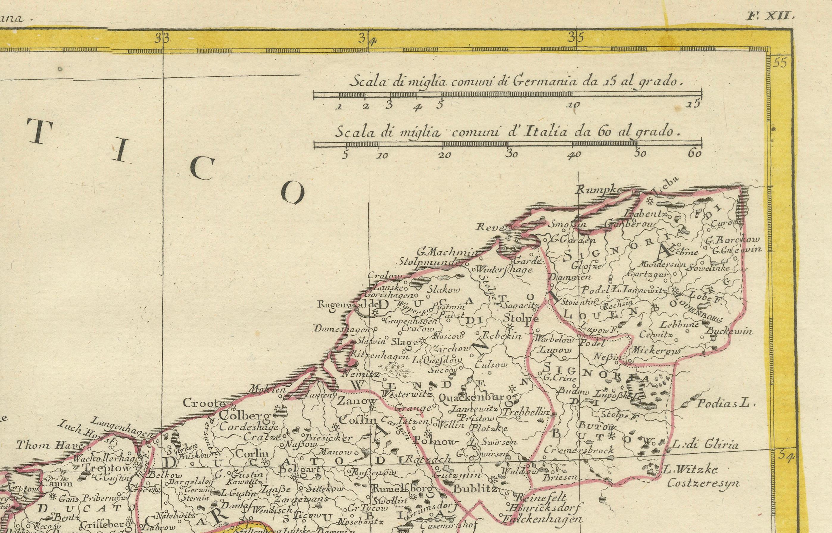
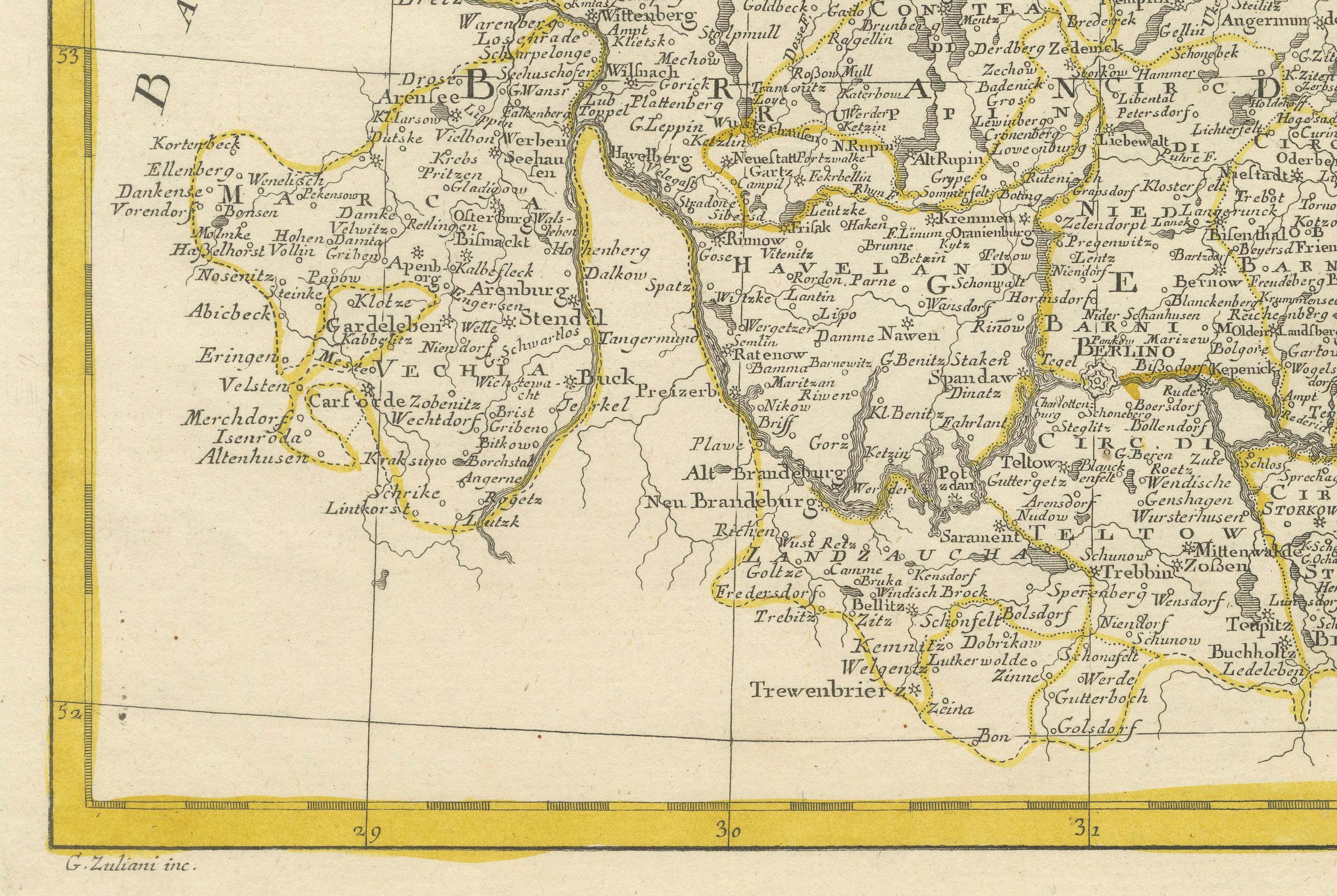
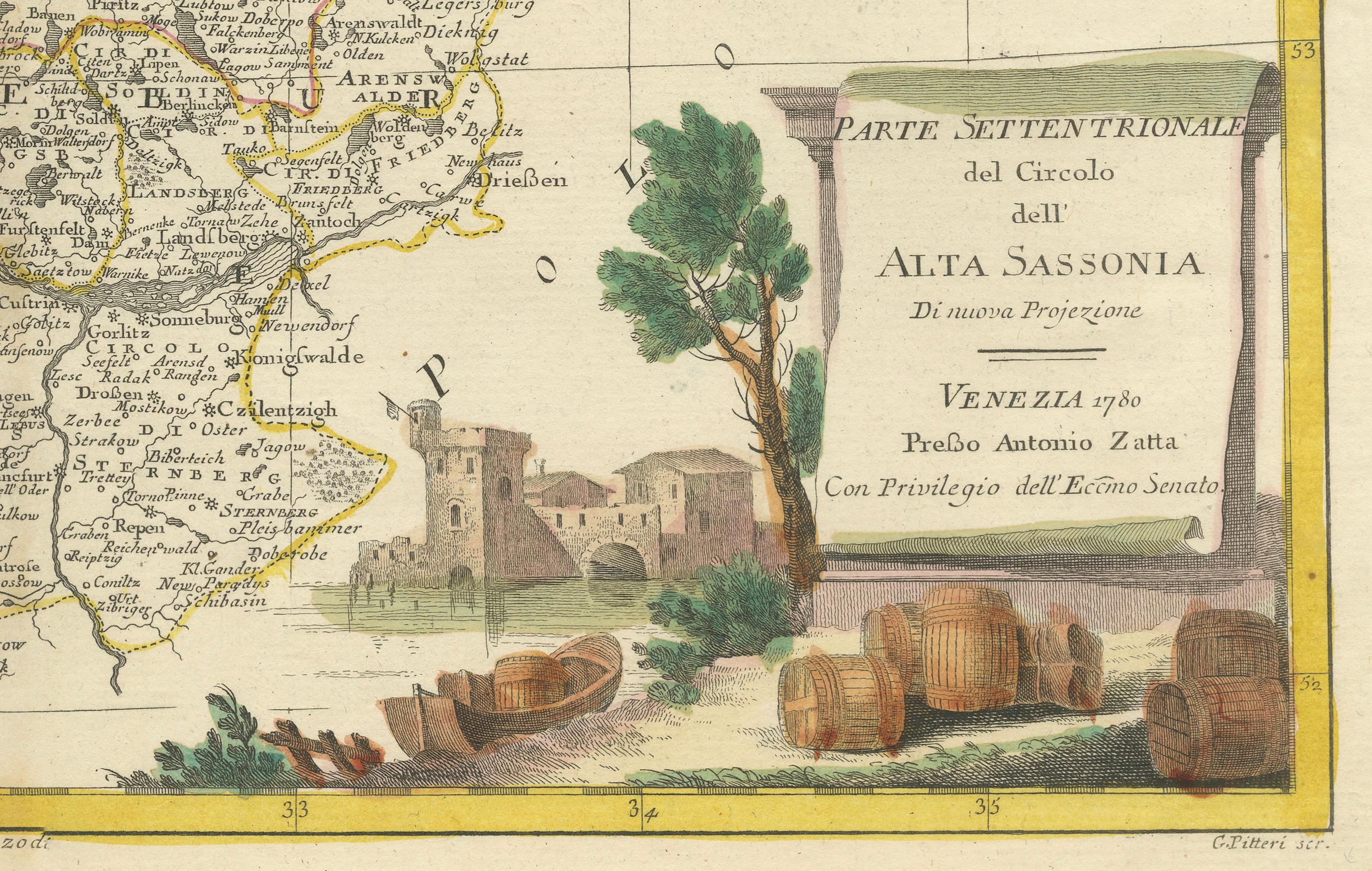
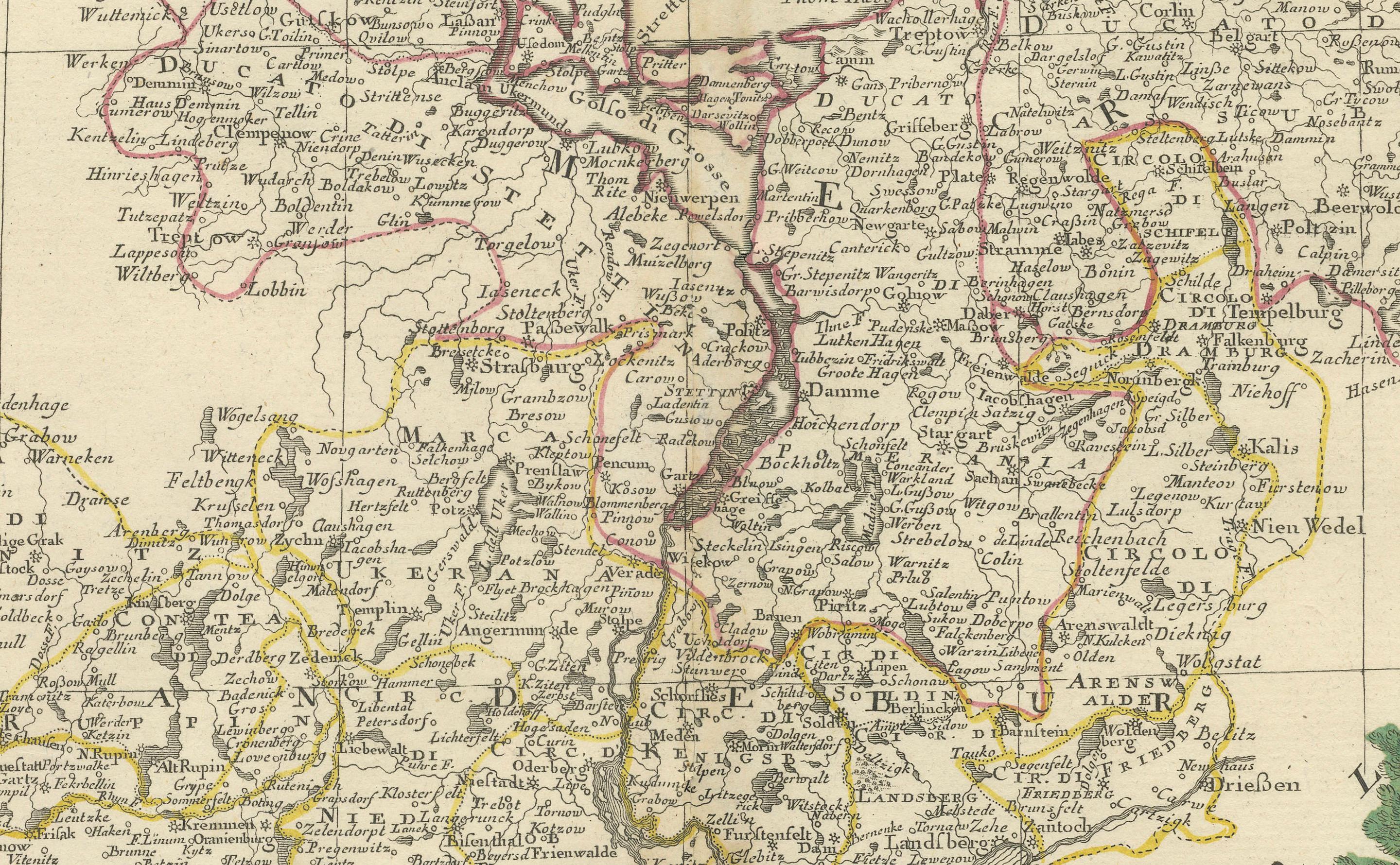
This map is titled "Parte Settentrionale del Circolo dell'Alta Sassonia" and was created by Pietro Antonio Zatta in 1782. It is a beautifully colored copperplate engraving, depicting the northern part of Upper Saxony (Alta Sassonia) in Germany, including its neighboring regions and the Baltic Sea (Mare Baltico).
The map features significant geographical details such as major cities, rivers, borders, and the Baltic coastline, providing a snapshot of this region during the late 18th century. The decorative cartouche at the bottom right corner adds an artistic touch, featuring rustic barrels and a fortified structure, typical of Zatta’s style. The detailing is further highlighted with hand-applied colors that distinguish different regions and borders.
Pietro Antonio Zatta was an Italian cartographer and publisher renowned for his high-quality atlases and maps, and he played an important role in Venetian publishing during the late 18th century. His work often included elaborate decorations, and this map is no exception, featuring both precise geographic content and aesthetic embellishments.
Condition report: This map is in good condition with slight toning and minor edge wear, typical for its age. Colors remain vibrant, and details are well-preserved, maintaining the map's original charm and historical integrity.