Maps & PrintsBartele Gallery · Langweer
Home / Antique Maps / Sea Charts

Sea Charts · 18th century

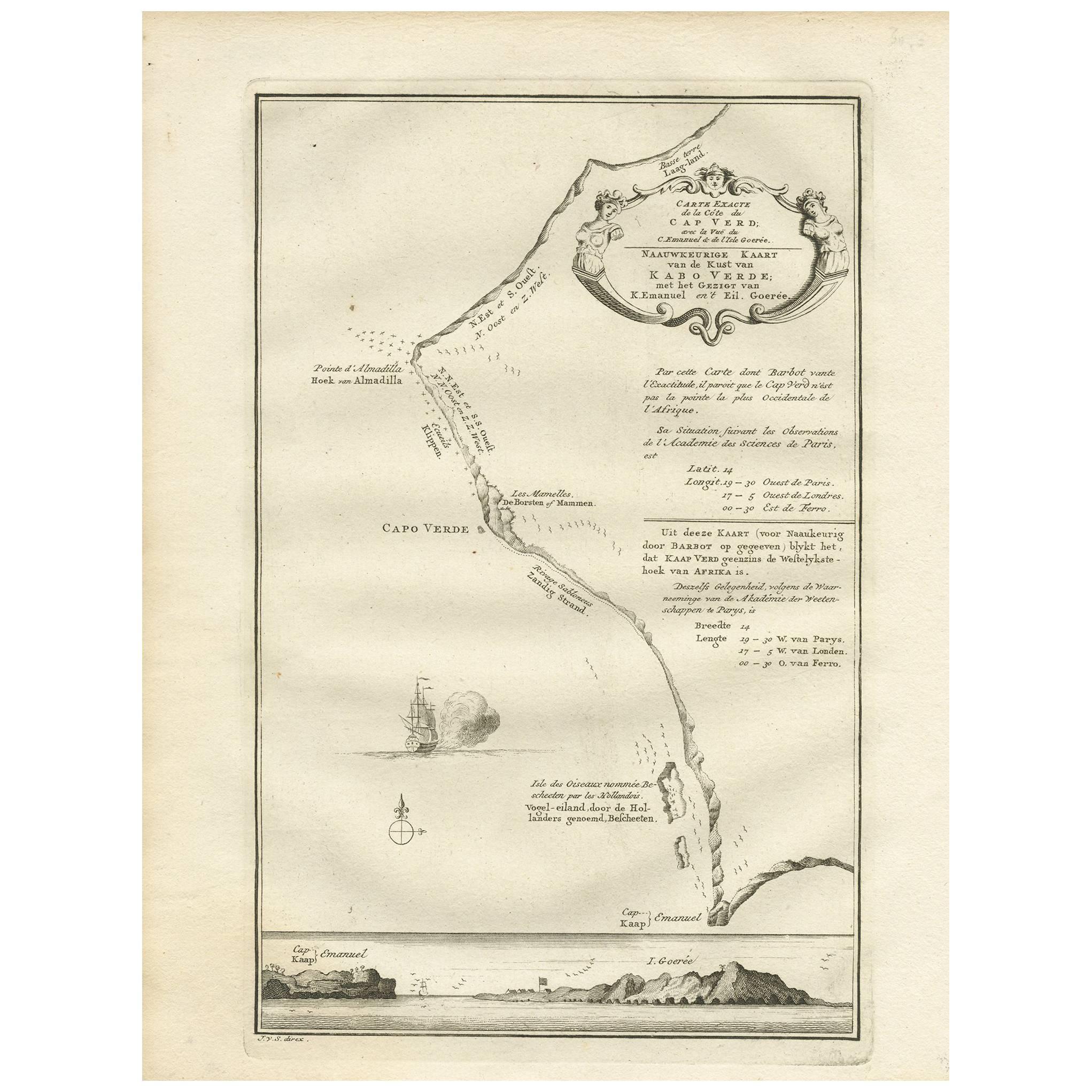
Antique Map of the Coast of Cape Verde by J. Van Der Schley, circa 1750

€ 160

One of a kind: this is the sheet in the photographs. Ships from Langweer, the Netherlands.

Date
1750
Sheet size
25 × 19 cm (9.8 × 7.5 in)
Condition
Good
Reference
BG-03488

Condition

Please study image carefully.

About this sheet

An early map of what is now the coast of the capital city of Dakar, Senegal. What is now a dense, bustling city was at this time a uninhabited coast. Shows the overall contours of this portion of the Cape Verde Peninsula and includes a coastal profile drawing below that also shows the neighbouring Island of Goree.

More from Sea Charts

Ask about this sheet

Antique Map of the Coast of Cape Verde by J. Van Der Schley, circa 1750
1750 · Ref. BG-03488 · € 160
We reply by email, usually within one working day.