Maps & PrintsBartele Gallery · Langweer
Home / Antique Maps / Sea Charts

Sea Charts · 18th century

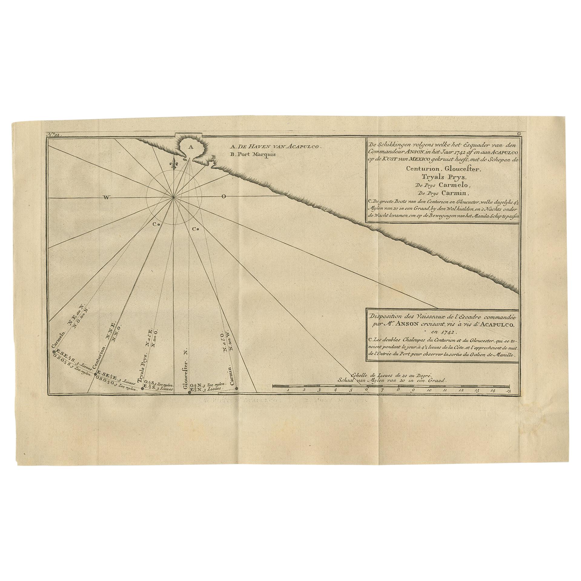
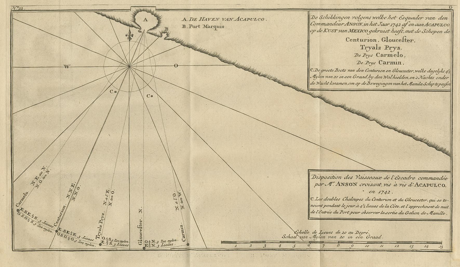
Antique Map of the Coast of Acapulco by Anson, 1749

€ 180

One of a kind: this is the sheet in the photographs. Ships from Langweer, the Netherlands.

Date
1749
Sheet size
27 × 42.5 cm (10.6 × 16.7 in)
Condition
Fair
Reference
BG-11589-9

Condition

Age-related toning, original folding lines. Minor wear, small defect outside image (bottom right). Blank verso, please study images carefully.

About this sheet

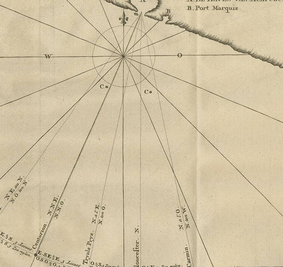
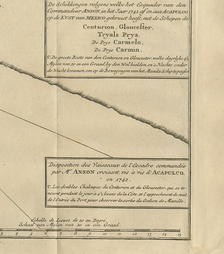
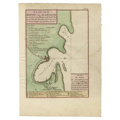
Antique map titled 'Disposition des Vaisseaux de l'Escadre commandée par Mr. Anson croisant vis à vis d'Acapulco en 1742'. This map depicts the coast of Acapulco in Mexico with a decorative cartouche and windrose. Acapulco and its port were important to the mission of Commodore George Anson, who captured a Spanish treasure galleon traveling between Acapulco and Manila. This print originates from 'Reize rondsom de Werreld (..)' by George Anson, published 1749.

More from Sea Charts

Ask about this sheet

Antique Map of the Coast of Acapulco by Anson, 1749
1749 · Ref. BG-11589-9 · € 180
We reply by email, usually within one working day.