About this sheet
Java and Bali with Borneo Coast – 18th Century French Colonial Map
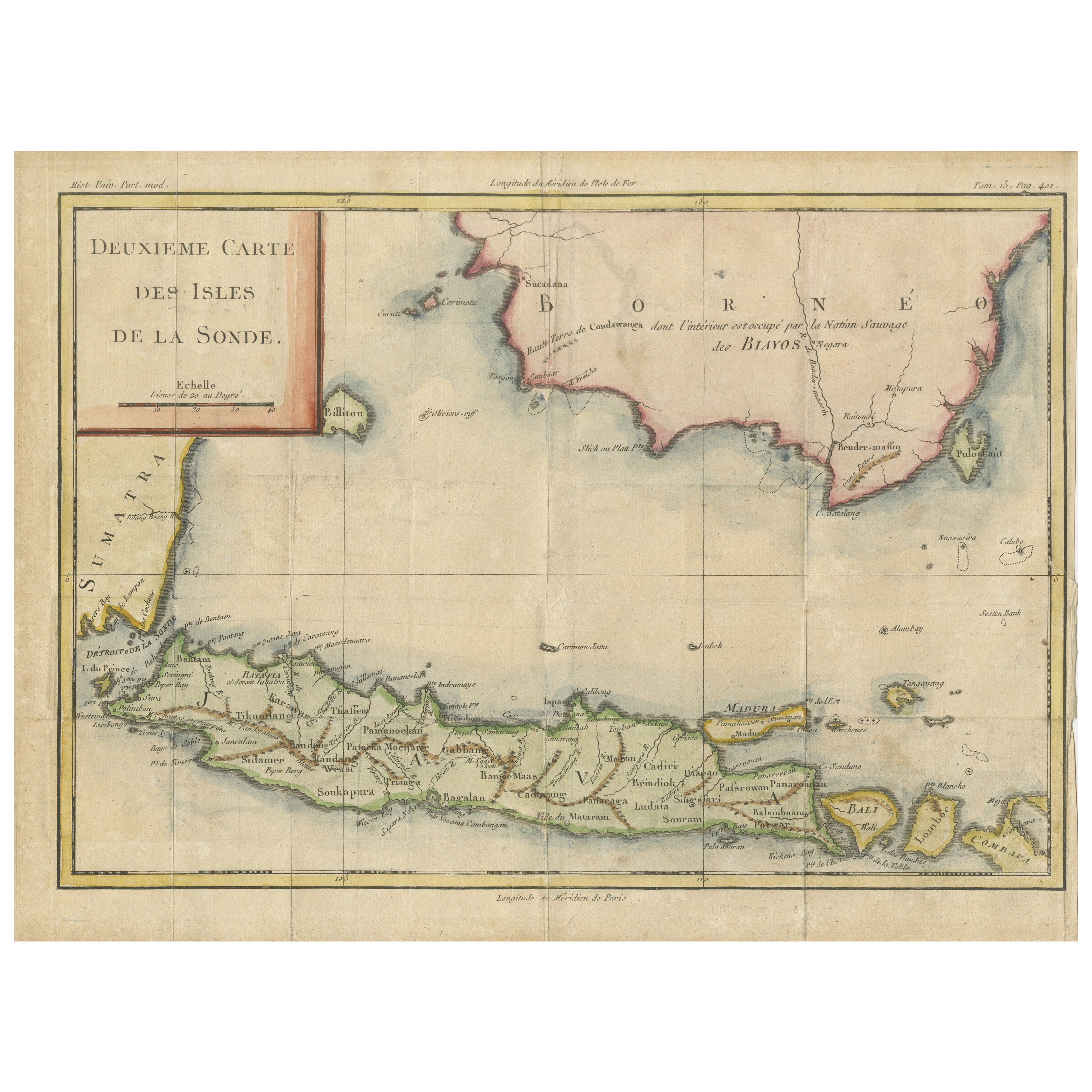
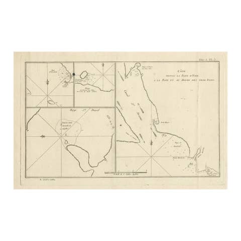
This original copperplate engraved map titled "Deuxième Carte des Isles de la Sonde" offers a rare and valuable 18th-century French perspective on the Indonesian archipelago, focusing on the islands of Java, Bali, Lombok, and the southern coast of Borneo. Published in Paris circa 1750, this map was included in Jacques Nicolas Bellin’s influential cartographic output for the monumental travel compilation L’Histoire Générale des Voyages, one of the most comprehensive geographical publications of the Enlightenment era.
The map presents the islands in clear, legible French script with geographical features meticulously labeled, including mountains, rivers, principal settlements, and coastal contours. Java is the central focus, richly detailed with numerous inland towns such as Batavia (modern Jakarta), Bantam, Surabaya, and Mataram, as well as smaller ports, mountain ranges, and rivers that were key to both indigenous societies and European colonial trade. The neighboring island of Bali is shown with surprisingly accurate coastal outlines, and the surrounding islands of Lombok, Madura, and parts of Sumatra are also identified.
To the north, the map details the southern coast of Borneo, identifying native groups such as the Biayos, and referencing the “terre de Condawangsa,” with interior areas noted as scarcely known or inhabited by “savage” tribes, reflecting 18th-century European colonial assumptions. The cartouche is elegantly framed in a red border and positioned in the upper left. The latitude and longitude markings are based on both the Paris and Ferro meridians, an indication of contemporary French geographical conventions.
Condition summary:
This hand-colored map remains in fair condition with original outline color, a strong impression. Right margin short. Vertical and horizontal folds are visible as issued. Some minor edge wear and toning consistent with age.
Framing suggestions:
This antique map will look its best in a classic dark wooden or ebonized frame with a neutral off-white or ivory mat to draw out the delicate pastel tones of the hand coloring. It is an ideal acquisition for collectors of Southeast Asian colonial cartography, French Enlightenment-era atlases, or those with an interest in the history of the Indonesian archipelago and the maritime spice trade.