Maps & PrintsBartele Gallery · Langweer
Home / Antique Maps / Sea Charts

Sea Charts

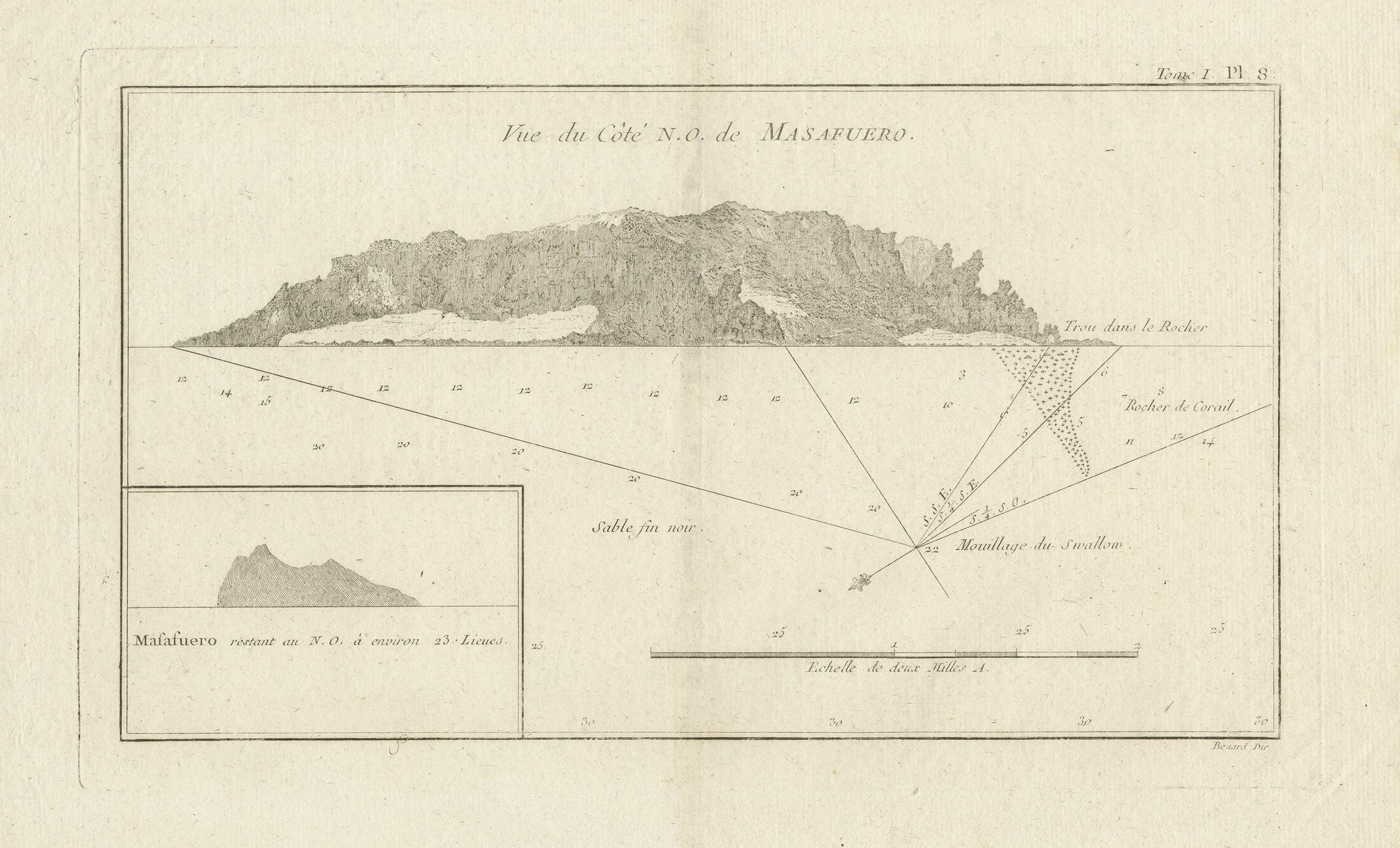
Antique Map of the Northwest Coast of Masafuera Island or Selkirk Island

€ 340

One of a kind: this is the sheet in the photographs. Ships from Langweer, the Netherlands.

Sheet size
26.6 × 39.2 cm (10.5 × 15.4 in)
Condition
Good
Reference
BG-12707-104

Condition

General age-related toning. Shows some wear and soiling, blank verso. Small defect lower left corner. Please study image carefully.
About this sheet

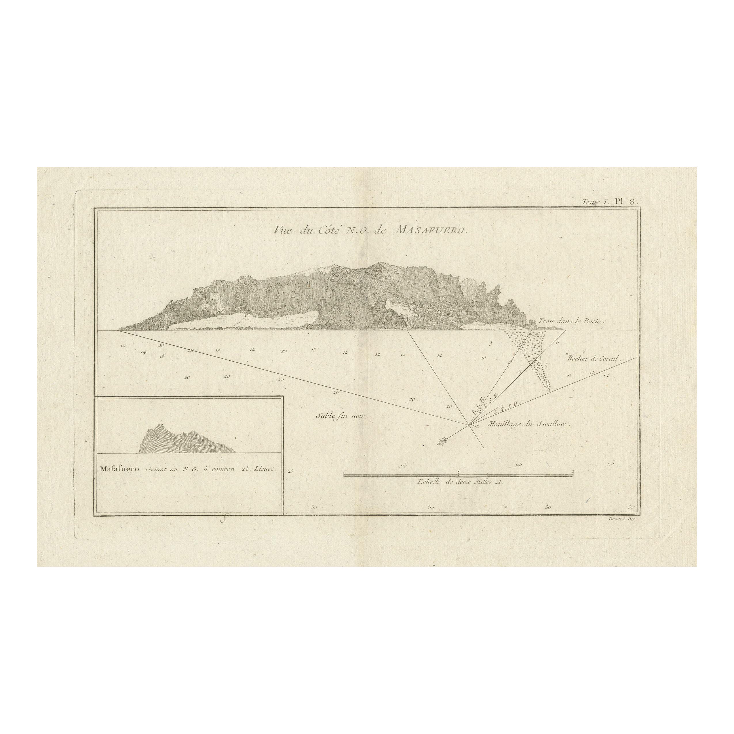
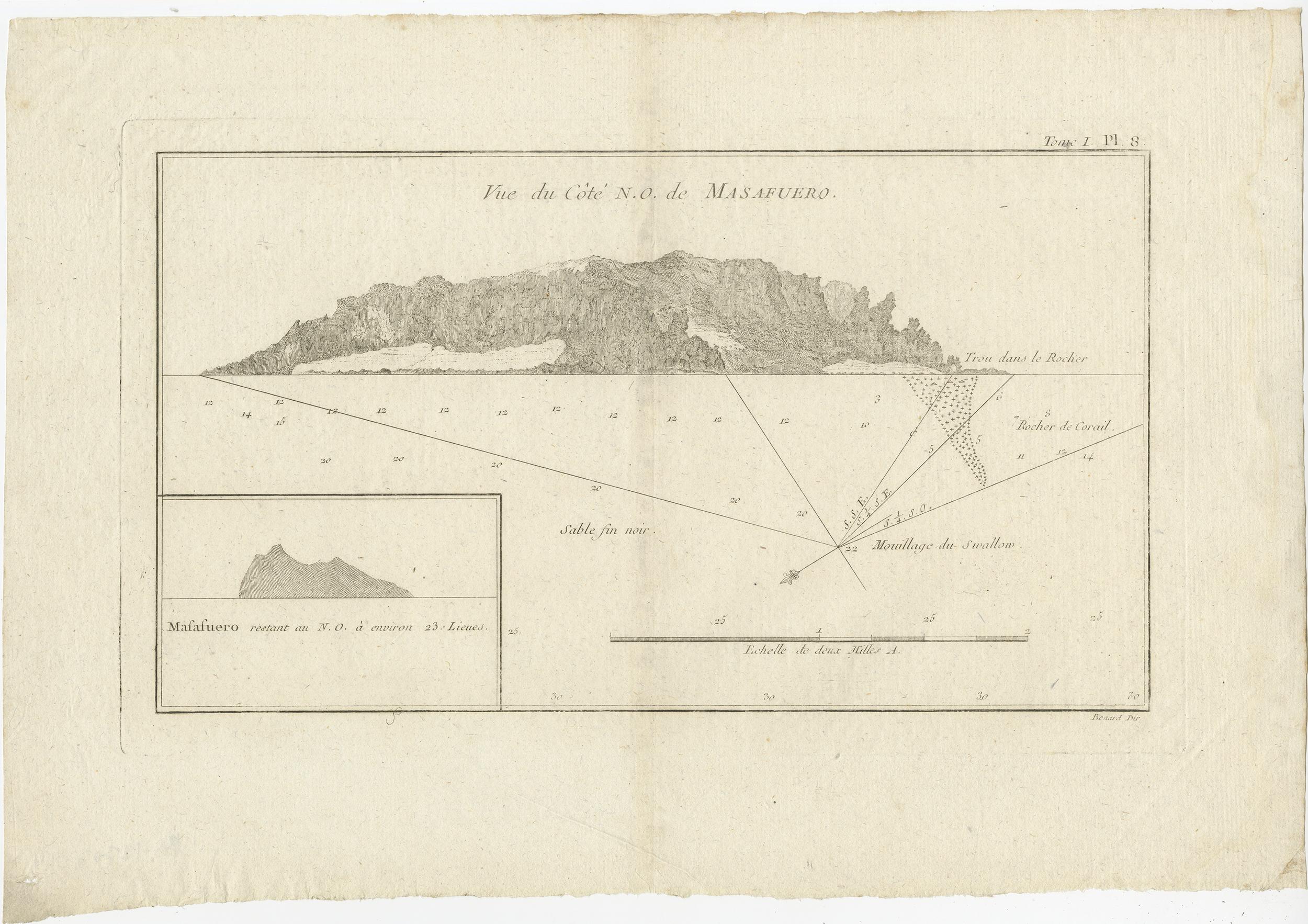
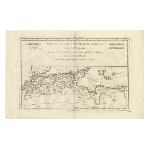
Antique map titled 'Vue de Cote N.O. de Masafuero'. Profile view of the north-west coast of Masafuera Island (also called Alejandro Selkirk Island). It also shows the anchorage of the Swallow and depth soundings.

Published in an edition of John Hawkesworth's atlas to accompany a French edition of Captain James Cook's voyages to the Southern Hemisphere. Published 1774.

More from Sea Charts

Ask about this sheet

Antique Map of the Northwest Coast of Masafuera Island or Selkirk Island
Ref. BG-12707-104 · € 340
We reply by email, usually within one working day.