About this sheet
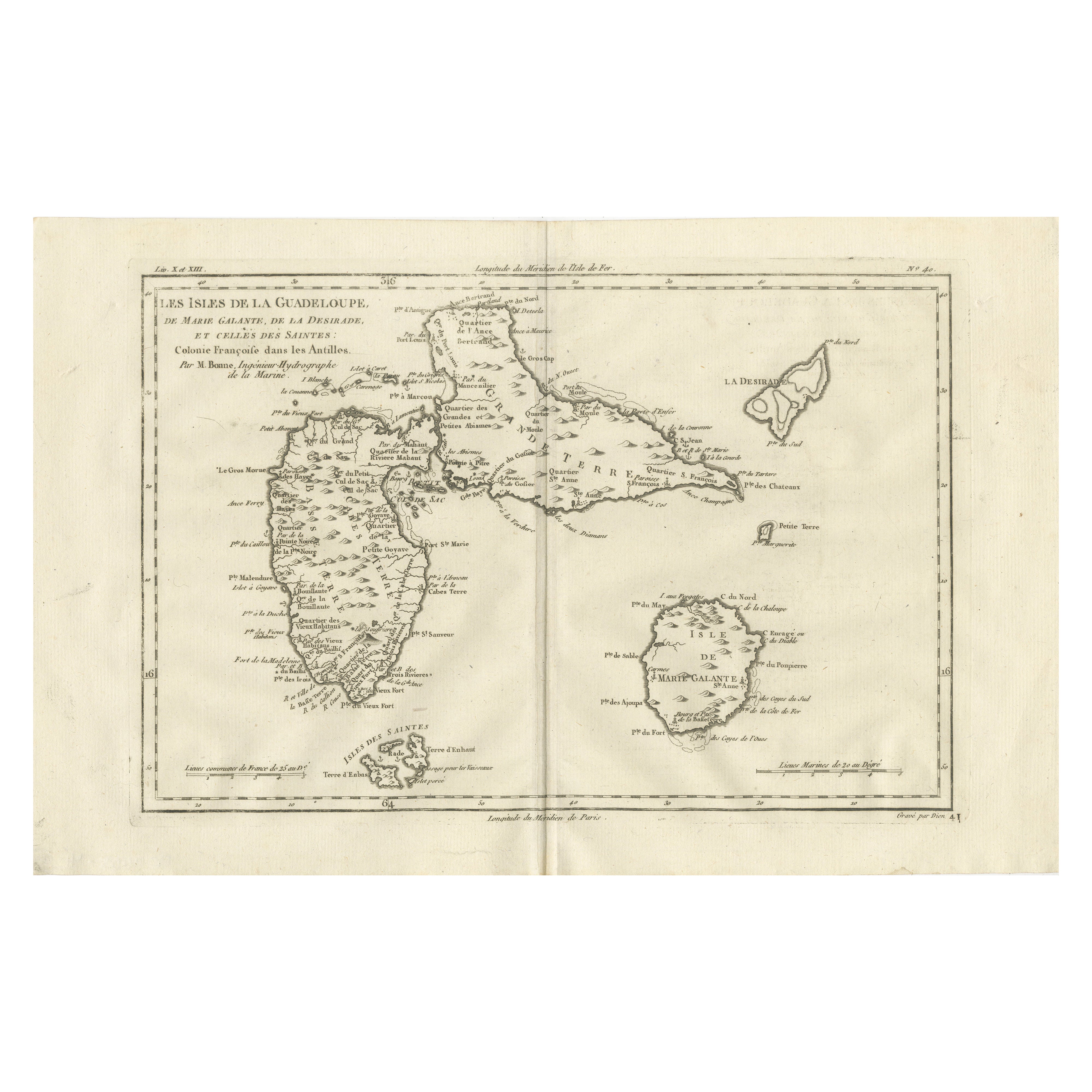
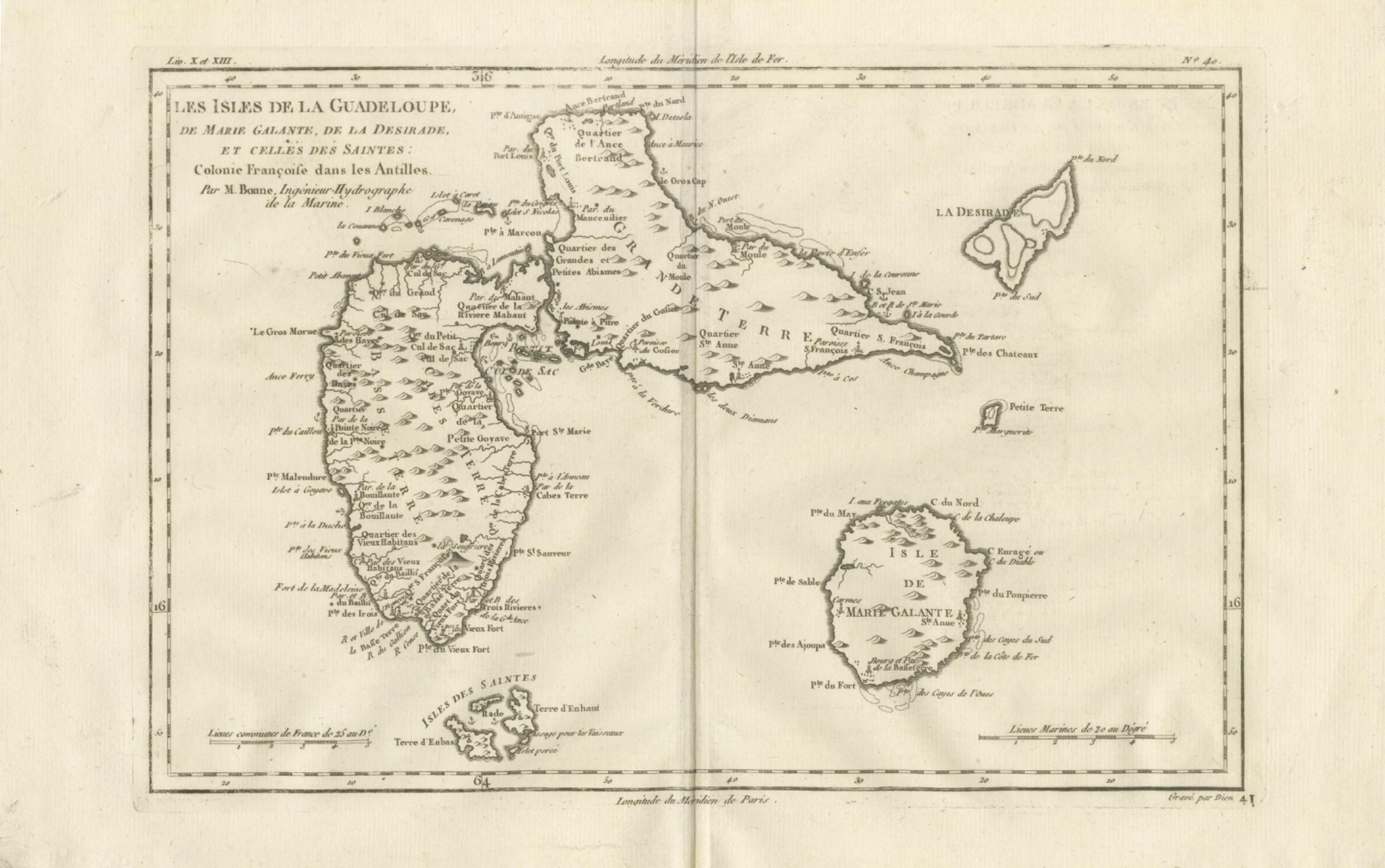
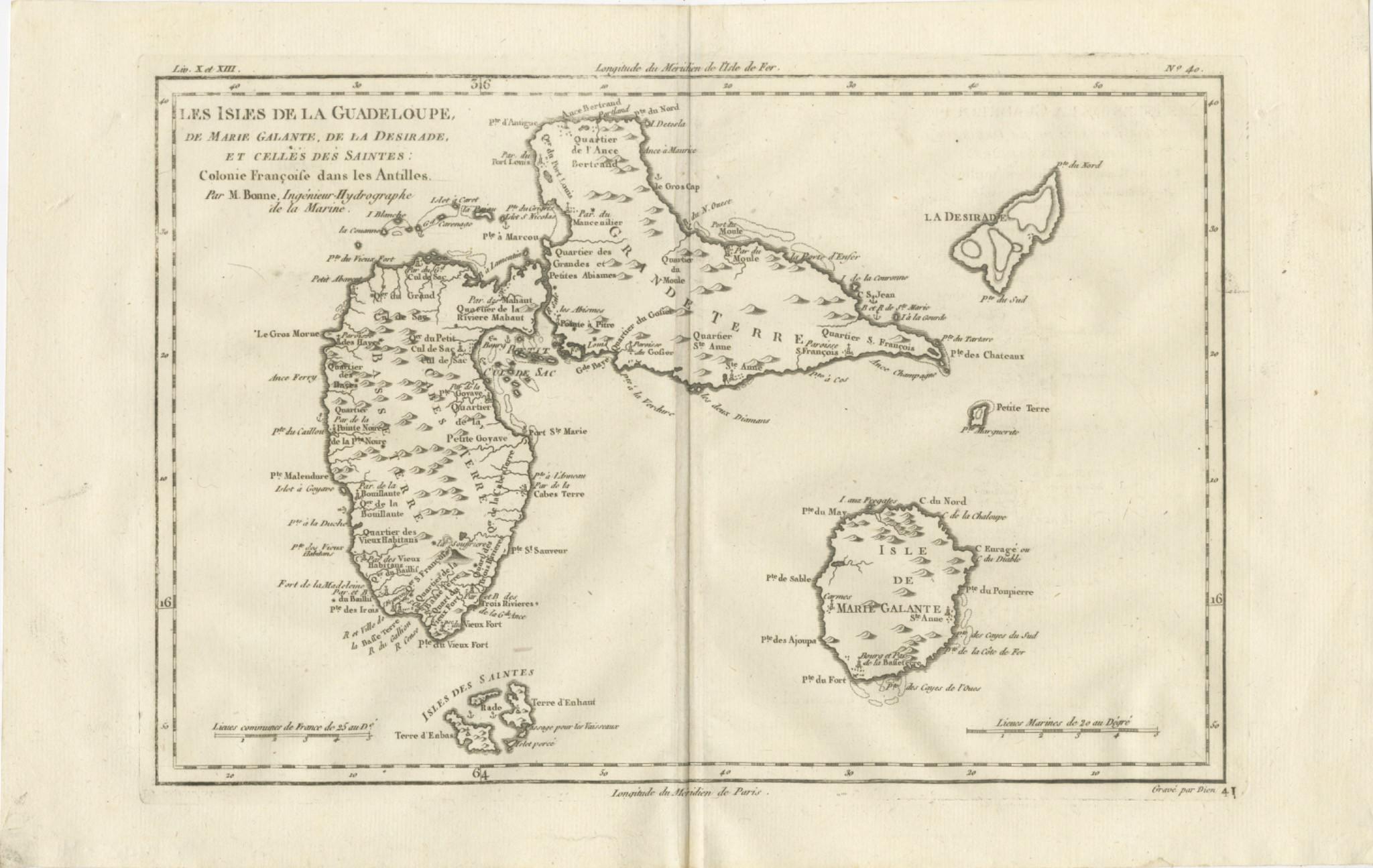
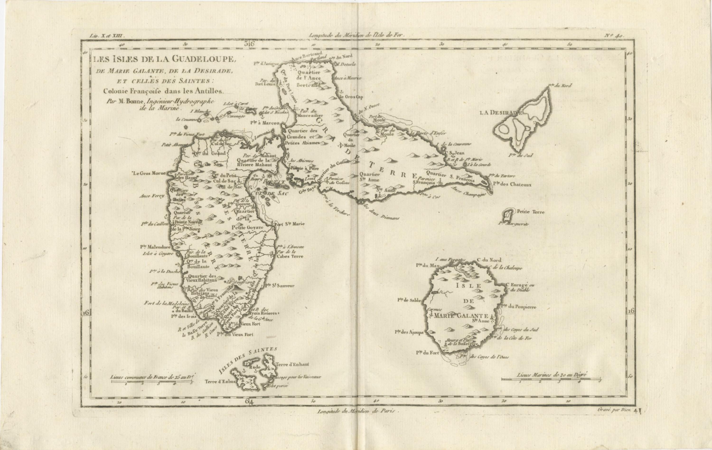
Antique Map Guadeloupe & Marie Galante, Rigobert Bonne Caribbean Chart c1780
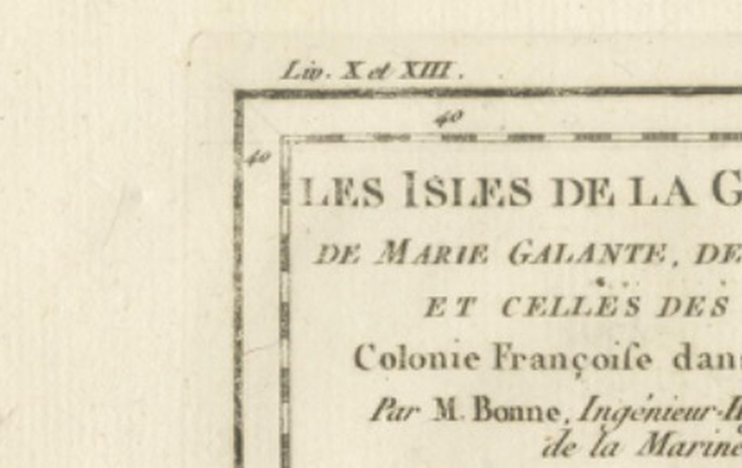
This finely engraved eighteenth-century map of Guadeloupe and its surrounding islands represents the work of Rigobert Bonne, one of the most important Enlightenment-era French cartographers and a central figure in the modernization of geographic science. Engraved circa 1780 during Bonne’s tenure as Ingénieur-Hydrographe de la Marine and chief cartographer at the Dépôt de la Marine in Paris, the map reflects the period’s shift toward clarity, measured accuracy, and scientifically grounded cartography. Bonne succeeded Jacques-Nicolas Bellin and continued the French hydrographic tradition while introducing a cleaner aesthetic, reducing excessive ornamentation in favor of legibility and practical geographic information.
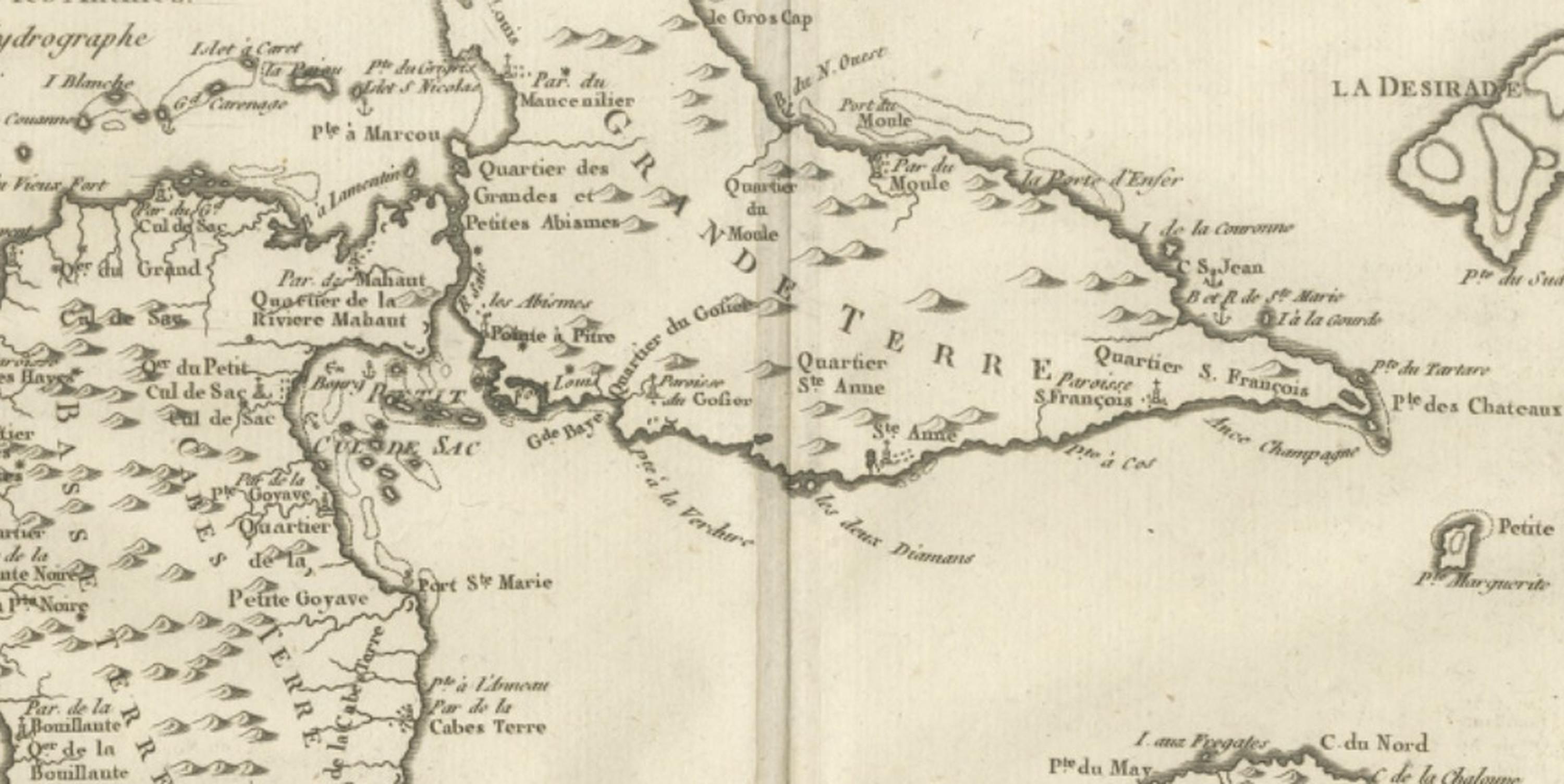
The composition depicts “Les Isles de la Guadeloupe” including Basse-Terre and Grande-Terre, together with Marie-Galante, La Désirade, and the Îles des Saintes. Coastal outlines are rendered with crisp precision, while interior relief is suggested through restrained hachuring, maintaining the balance between decorative engraving and navigational usefulness characteristic of Bonne’s mature work. Numerous place names, anchorages, coastal features, and administrative divisions reflect contemporary French colonial organization in the Caribbean during the late eighteenth century, offering insight into the strategic and economic importance of Guadeloupe within the Antilles.
The map’s engraving style exemplifies Enlightenment cartographic ideals: a refined typographic hierarchy, elegant yet minimalistic border framing, and carefully proportioned spatial relationships that create a visually harmonious presentation. Unlike earlier baroque maps that emphasized allegorical cartouches, Bonne’s approach prioritizes geographic accuracy and clear communication, making his maps especially appealing to collectors interested in the scientific evolution of mapping as well as decorative interior display.
Historically, this chart captures Guadeloupe at a significant moment when European colonial powers competed intensely in the Caribbean, and accurate mapping was essential for navigation, trade, and military planning. Today, Bonne’s maps are sought after for their combination of historical relevance, aesthetic restraint, and scholarly credibility. The clean engraving and balanced composition allow the map to function equally well as a collector’s piece or as a refined decorative statement in both classical and contemporary interiors.
Condition report: Good antique condition with age-related toning and light paper wear consistent with eighteenth-century prints; visible central fold as issued; minor scattered spotting typical for the period; margins remain generous and suitable for framing.
Framing tips: Particularly effective in a dark walnut or black frame with an ivory or warm off-white mat to emphasize the delicate engraving lines; museum-style float mounting can highlight the plate impression and historical paper tone.
Technique: Copperplate engraving
Maker: Rigobert Bonne, France, circa 1780
Keyword block: Guadeloupe antique map, Marie Galante map, La Désirade Caribbean chart, Îles des Saintes map, Rigobert Bonne map, French colonial Caribbean, Antilles cartography, Dépôt de la Marine, Enlightenment cartography, 18th century Caribbean map, French hydrographic map, Basse-Terre Grande-Terre map, historical Caribbean islands map, antique French engraving, West Indies colonial map, Caribbean decorative map, scientific cartography France, Bellin successor Bonne, nautical chart Caribbean, antique Guadeloupe engraving, French Antilles map.