About this sheet
Antique Map North Africa Barbary Coast Morocco Algeria Tunisia by Rigobert Bonne, c1780
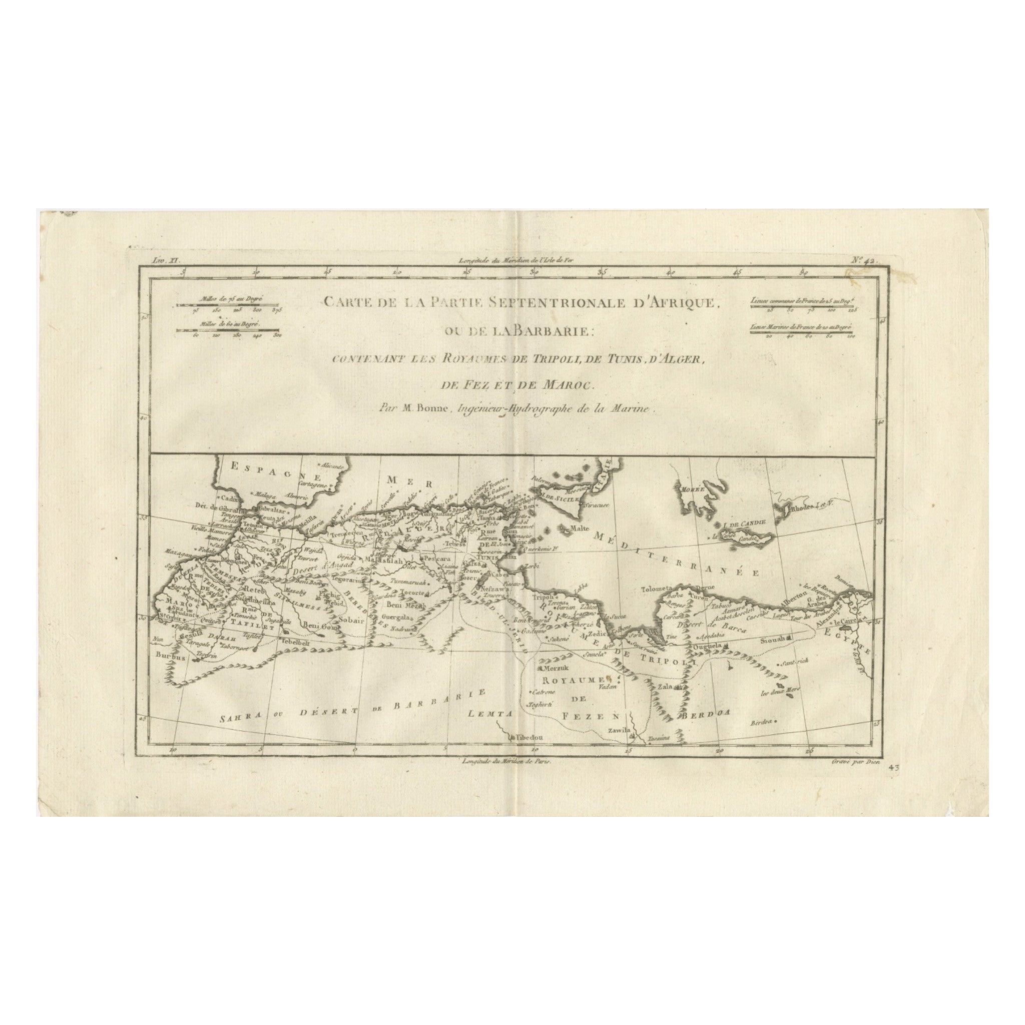
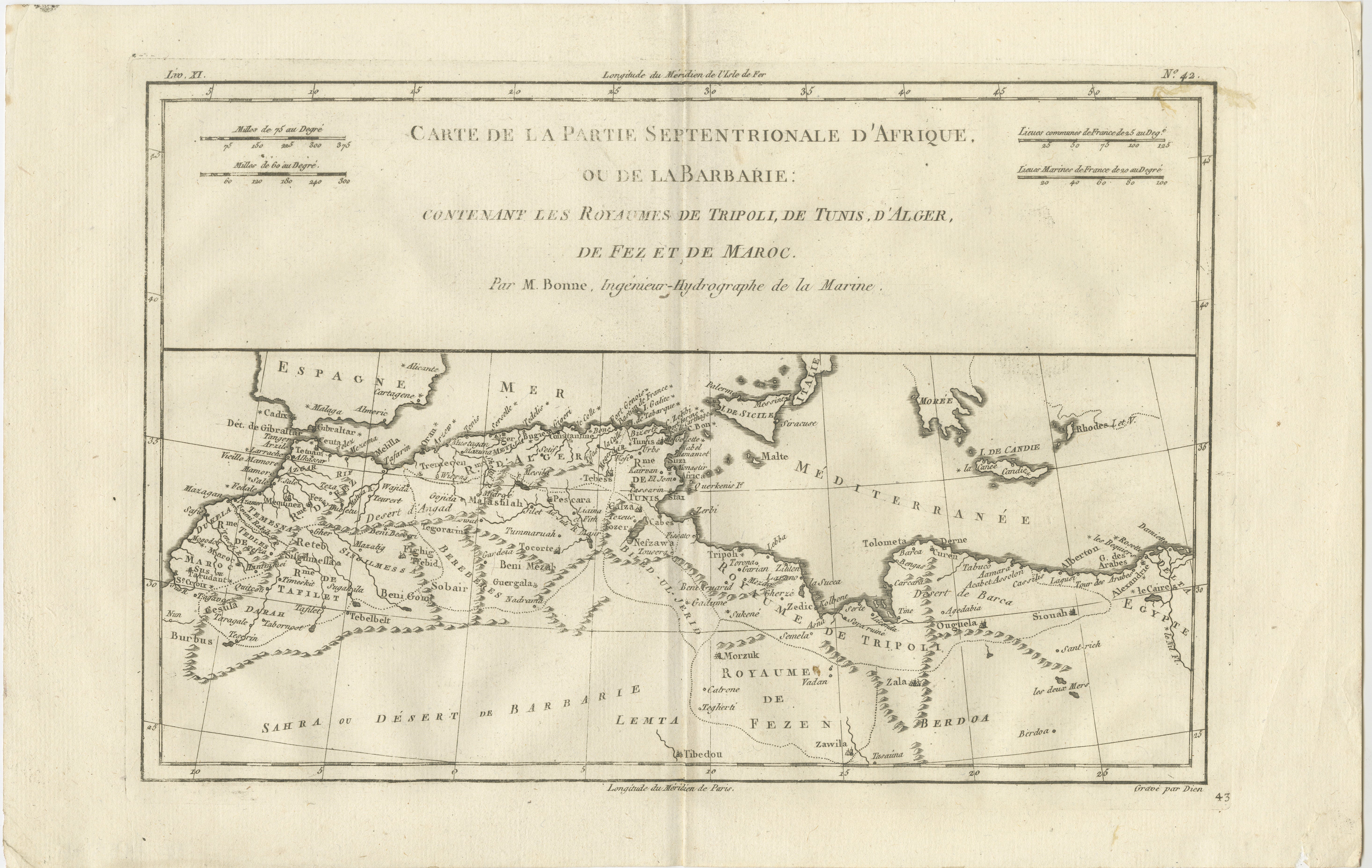
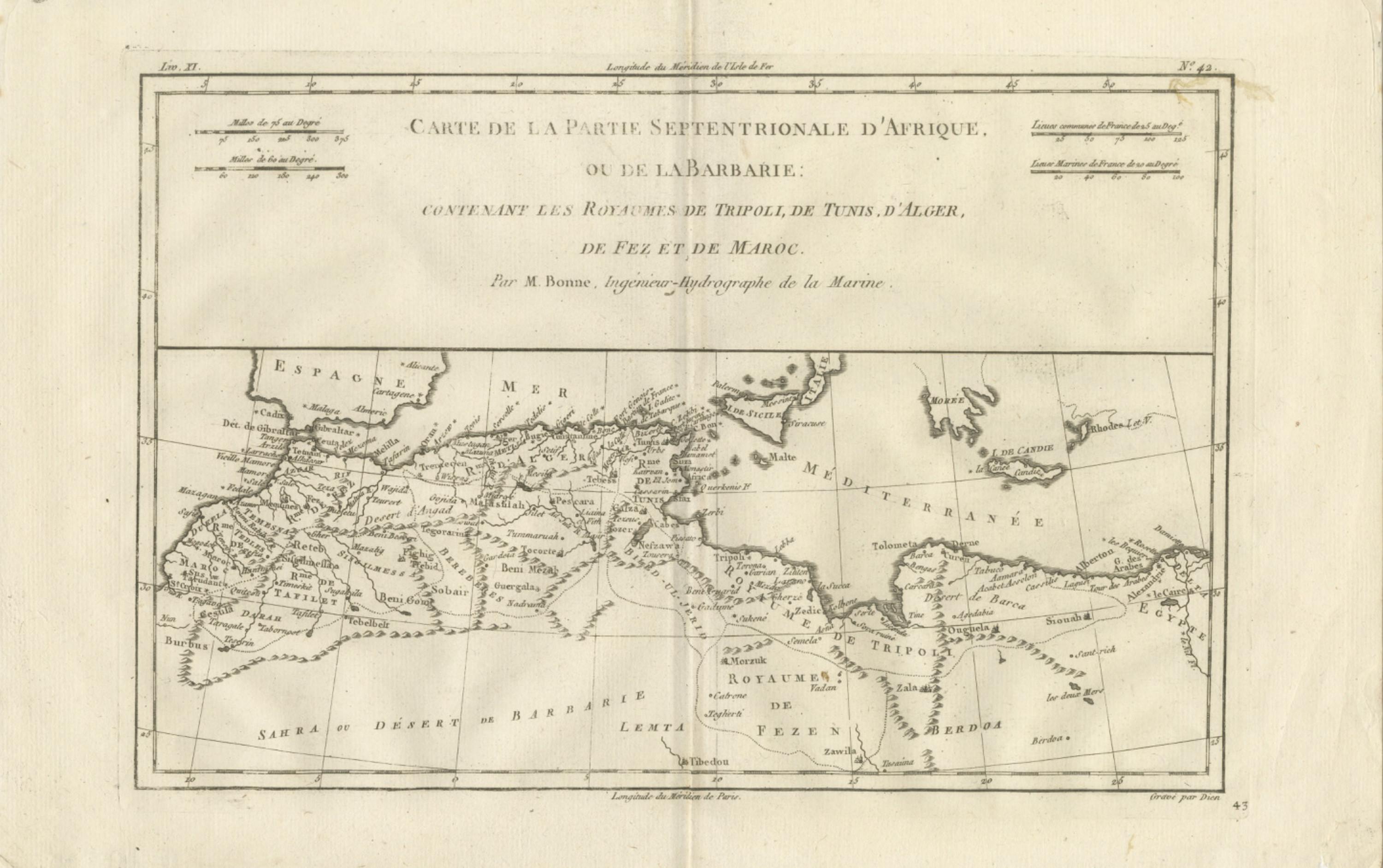
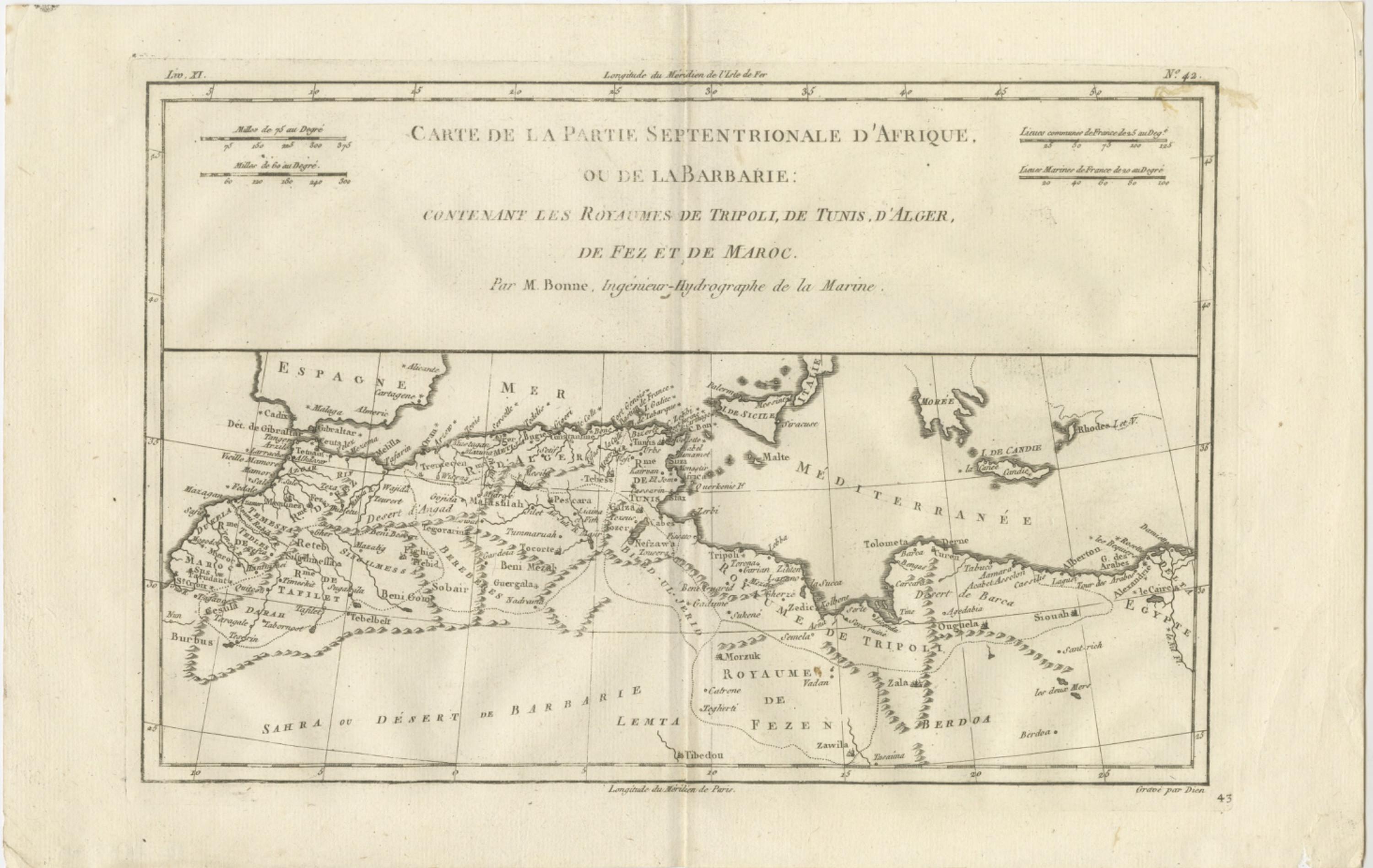
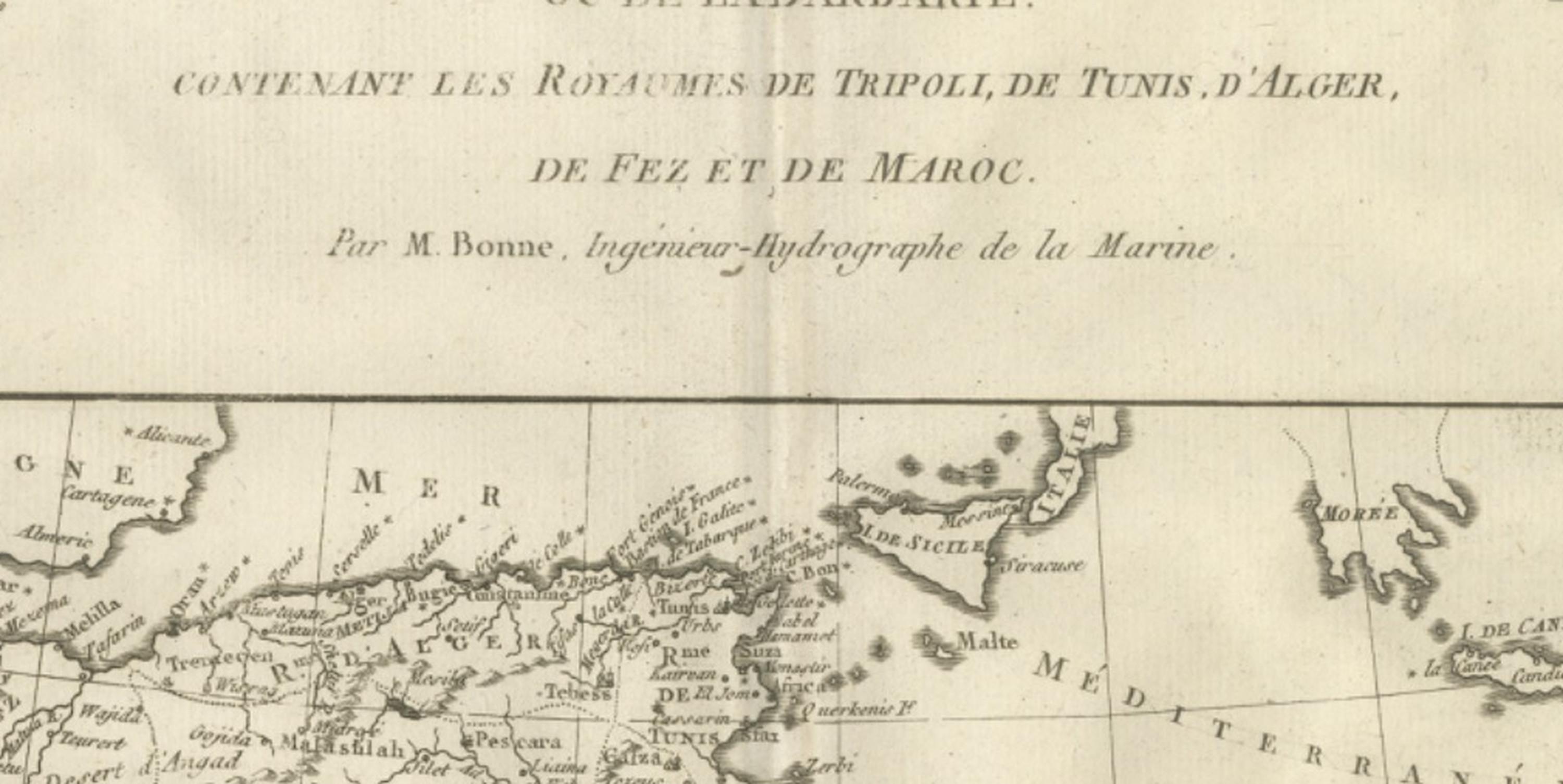
This finely engraved eighteenth-century map of North Africa, titled “Carte de la Partie Septentrionale d’Afrique, ou de la Barbarie,” was produced by Rigobert Bonne, one of the leading figures of Enlightenment-era French cartography. Created circa 1780 during Bonne’s tenure as Ingénieur-Hydrographe de la Marine and chief cartographer at the Dépôt de la Marine in Paris, the map reflects the period’s transition toward scientifically grounded geography, clarity of presentation, and standardized measurement. Bonne succeeded Jacques-Nicolas Bellin and helped shape modern cartographic practices by prioritizing precision and legibility over the elaborate decorative cartouches common in earlier mapping traditions.
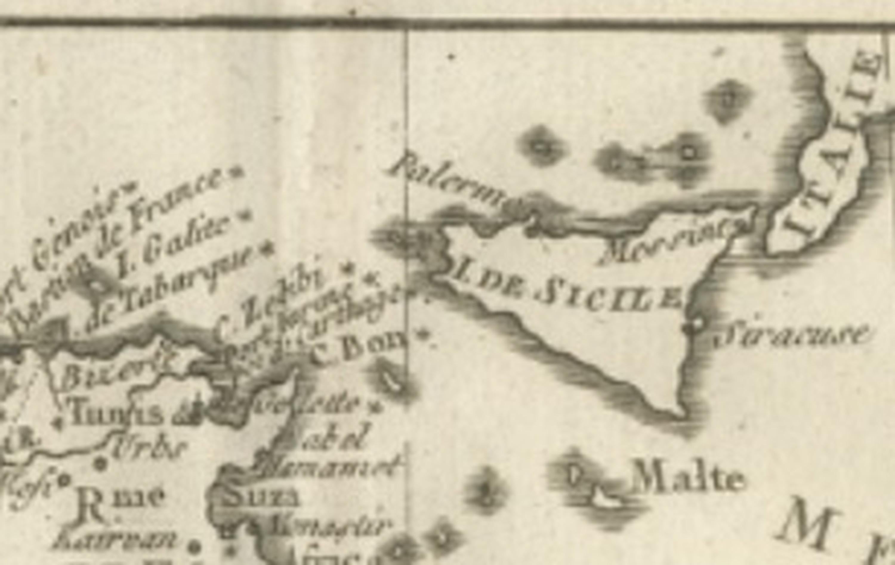
The map presents a sweeping view of the Barbary Coast and the northern regions of Africa, extending from Morocco and the Strait of Gibraltar eastward through Algeria, Tunisia, and Tripoli toward Egypt and the eastern Mediterranean. European regions including Spain, Sicily, Malta, and Crete appear along the northern margin, emphasizing the geographic and political relationship between North Africa and the Mediterranean world. Major cities, caravan routes, desert regions, and coastal settlements are carefully identified, offering insight into the historical understanding of the Maghreb and surrounding territories during the late eighteenth century.
Bonne’s restrained engraving style is evident throughout: delicate hachuring conveys topographic features, while a clean typographic hierarchy ensures clarity and readability. The horizontal composition allows for a comprehensive overview of the Mediterranean littoral and adjacent desert regions, highlighting strategic maritime routes and colonial interests that defined European engagement with North Africa. Such maps were essential for navigation, diplomacy, trade, and military planning, reflecting the geopolitical significance of the Barbary states during the Enlightenment.
Today, Bonne’s maps are highly regarded by collectors for their elegant balance between scientific accuracy and aesthetic refinement. This example offers strong decorative appeal while retaining scholarly importance, making it suitable for both serious cartographic collections and refined interior display.
Condition report: Good antique condition with age-related toning, light scattered spotting, and a visible central fold as issued; minor edge wear consistent with eighteenth-century paper; margins remain adequate for framing.
Framing tips: Particularly effective in a dark walnut or black frame with a warm ivory mat to complement the engraving lines; horizontal orientation makes it ideal for placement above desks, consoles, or wide wall spaces in both classic and contemporary interiors.
Technique: Copperplate engraving
Maker: Rigobert Bonne, France, circa 1780
Keyword block: North Africa antique map, Barbary Coast map, Rigobert Bonne map, Morocco Algeria Tunisia map, Tripoli Fez Maroc antique map, Mediterranean historical map, Dépôt de la Marine cartography, Enlightenment era map, Maghreb antique engraving, Sahara desert historical map, Barbary states cartography, French colonial geography map, 18th century Africa map, Mediterranean basin map antique, antique French engraving map, Bonne hydrographic chart, historical Mediterranean map, North Africa decorative map, antique Maghreb cartography, Gibraltar Mediterranean map.