
Maps & PrintsBartele Gallery · Langweer
Home / Antique Maps / Sea Charts

Sea Charts

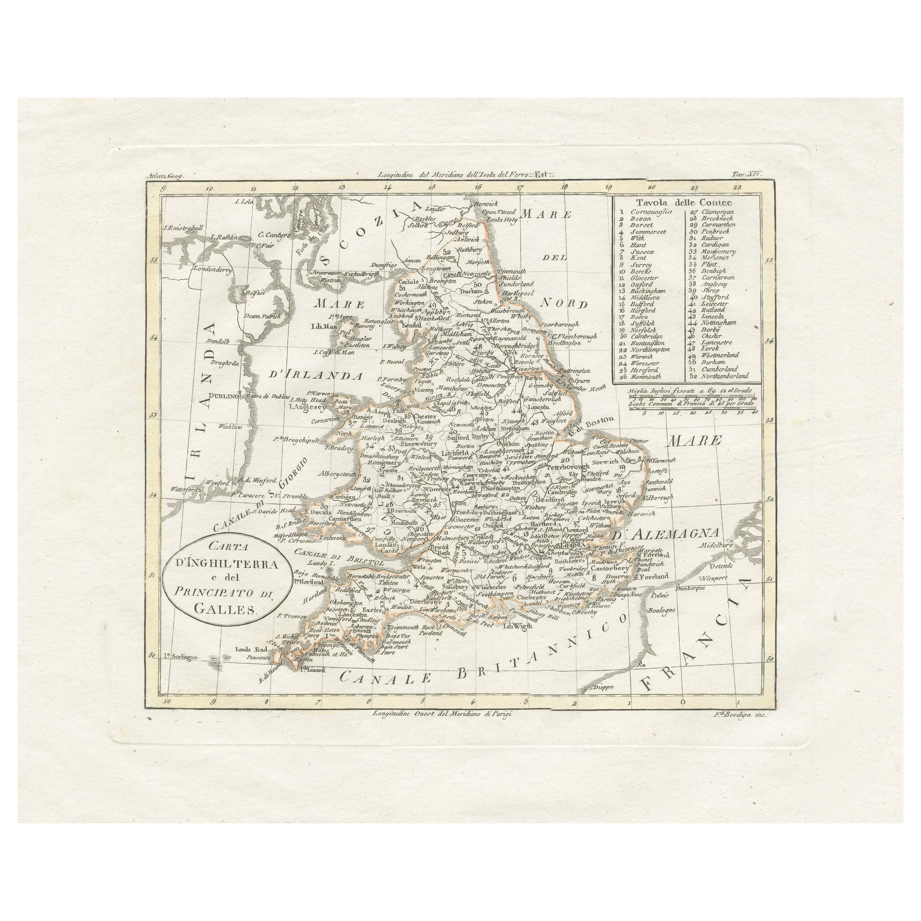
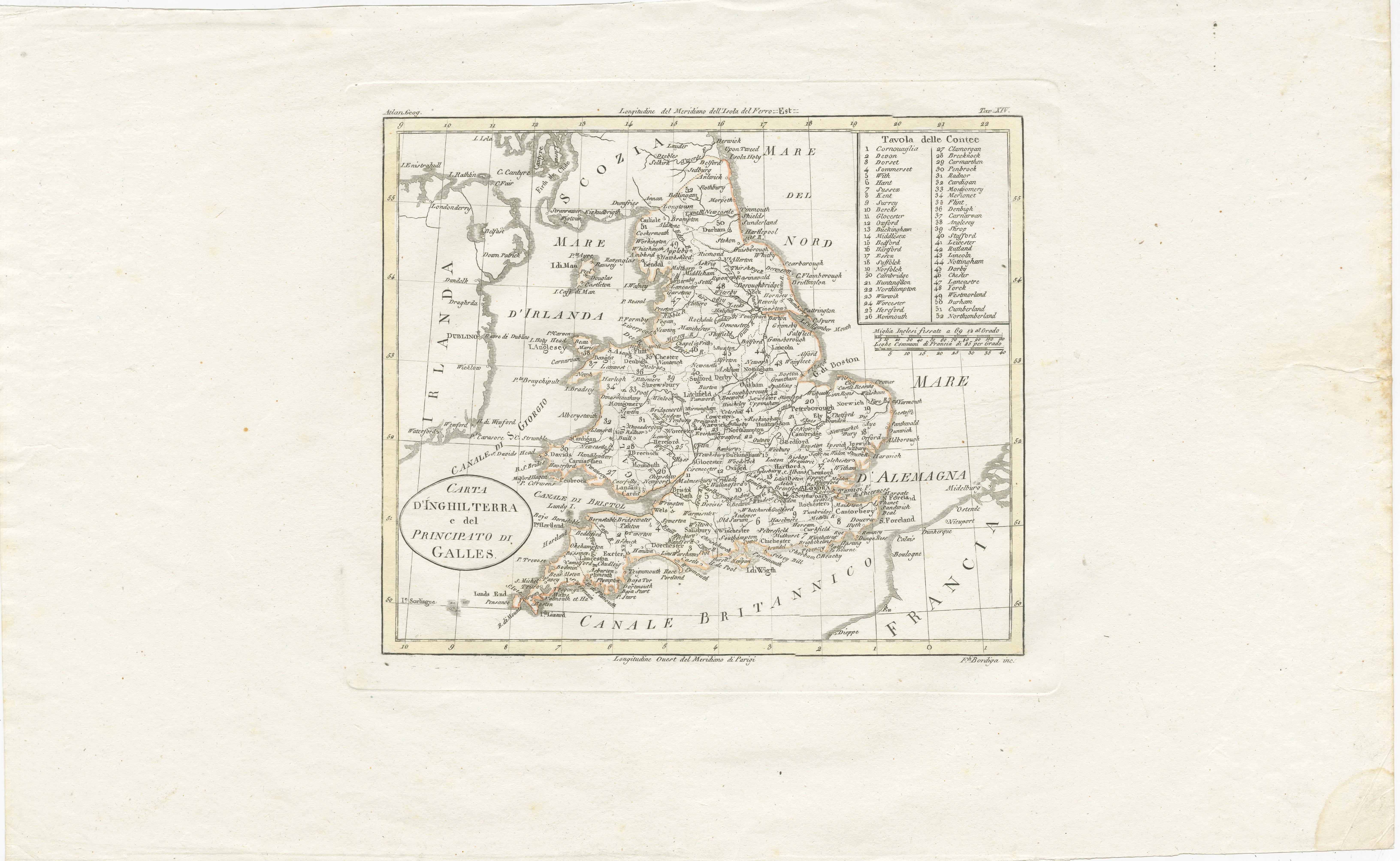
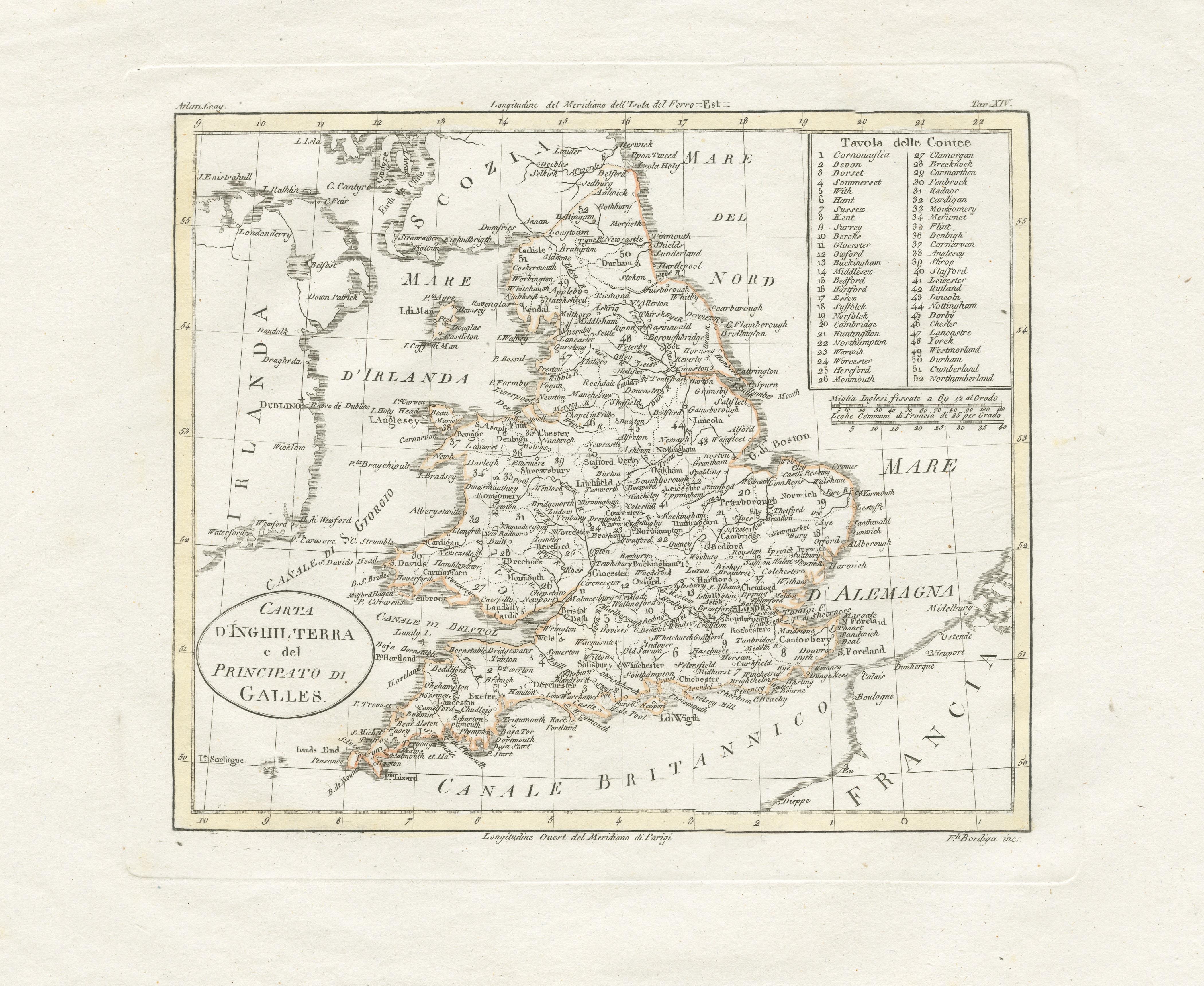
Detailed Antique Map of Britain, Wales and the Coast of Ireland

€ 260

One of a kind: this is the sheet in the photographs. Ships from Langweer, the Netherlands.

Sheet size
28.3 × 45.8 cm (11.1 × 18.0 in)
Condition
Good
Reference
BG-13396-19

Condition

Wide margins. General age-related toning. Minor wear, blank verso. Please study image carefully.
About this sheet

Antique map titled 'Carta d'Inghilterra e del Principato di Galles'. Detailed map of Britain, Wales and the coast of Ireland with a list of counties. This map originates from 'Nuovo Atlante Di Geografia Universale (..)' published in Milan by Batelli & Fanfani, 1821.

More from Sea Charts

Ask about this sheet

Detailed Antique Map of Britain, Wales and the Coast of Ireland
Ref. BG-13396-19 · € 260
We reply by email, usually within one working day.