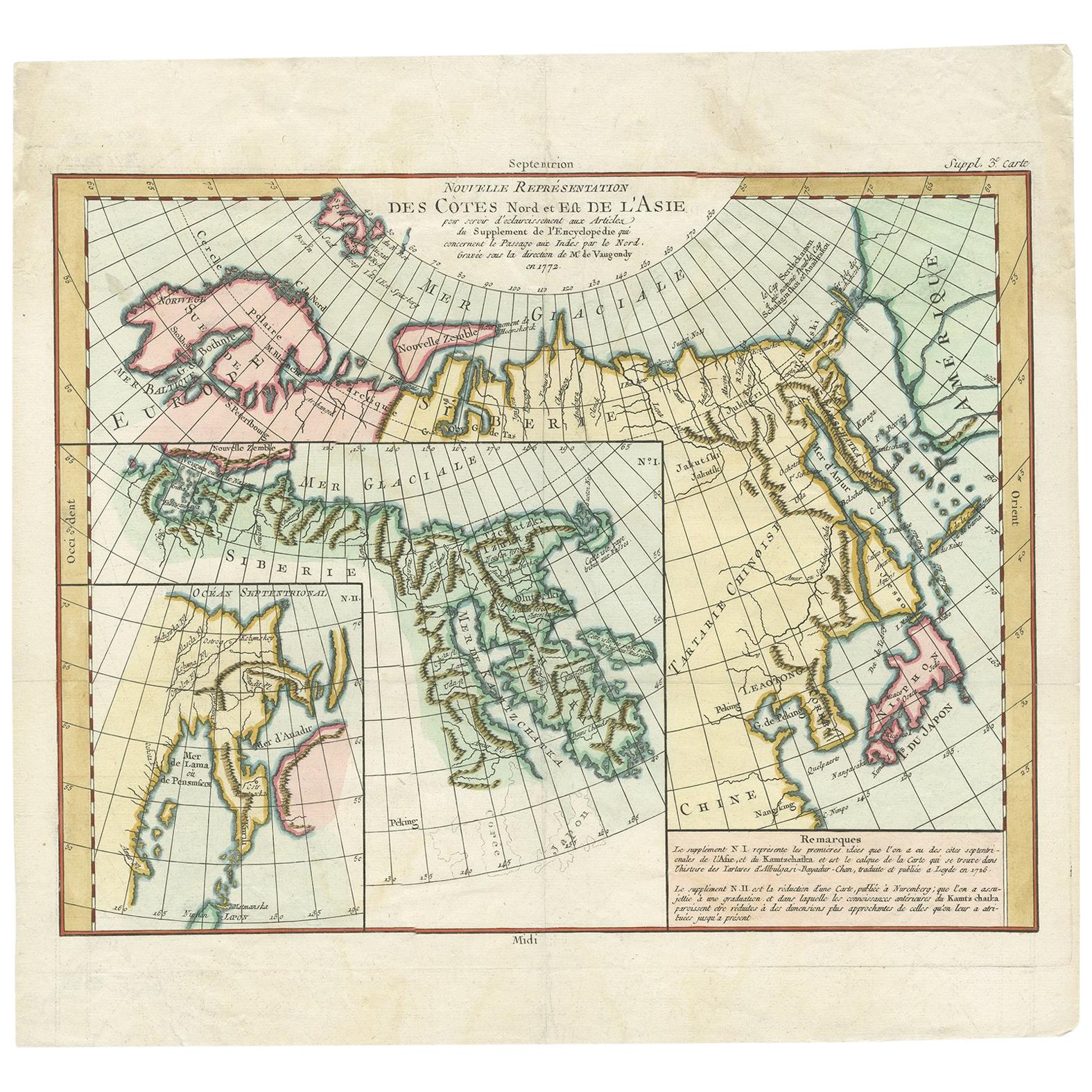
Antique Map of the North and East Coast of Asia by Vaugondy, circa 1750
€ 380
One of a kind: this is the sheet in the photographs. Ships from Langweer, the Netherlands.
Date
1750
Technique
Engraved
Sheet size
39 × 42 cm (15.4 × 16.5 in)
Condition
Good
Reference
BGJC-0069
Condition
Minor losses. Few tiny tears, please study images carefully.
About this sheet
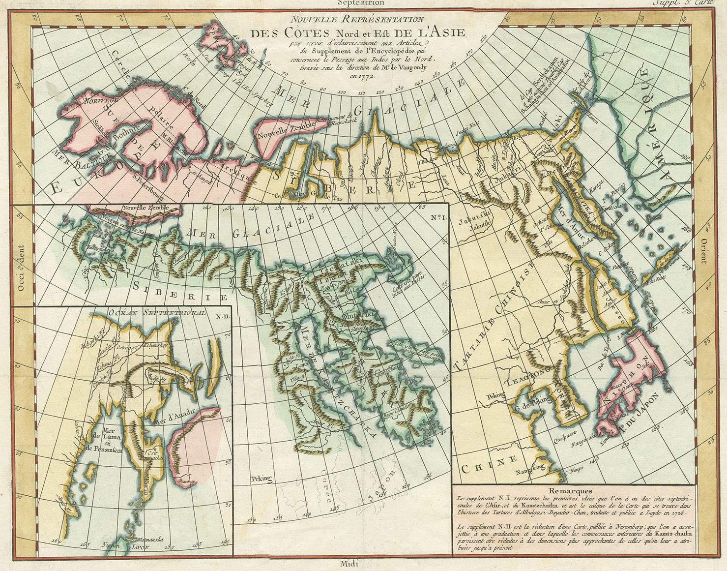
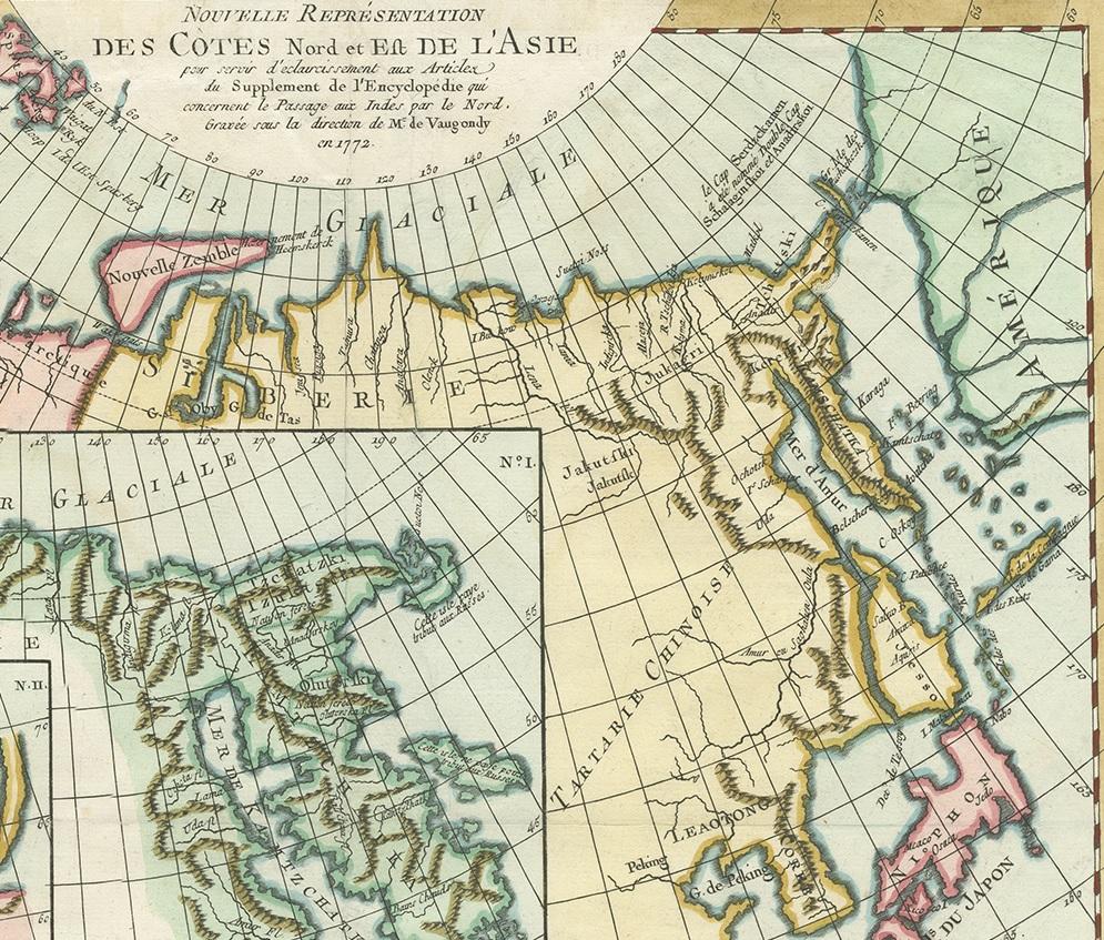
Antique map titled 'Nouvelle representation des Cotes Nord et Est de L'Asie.'
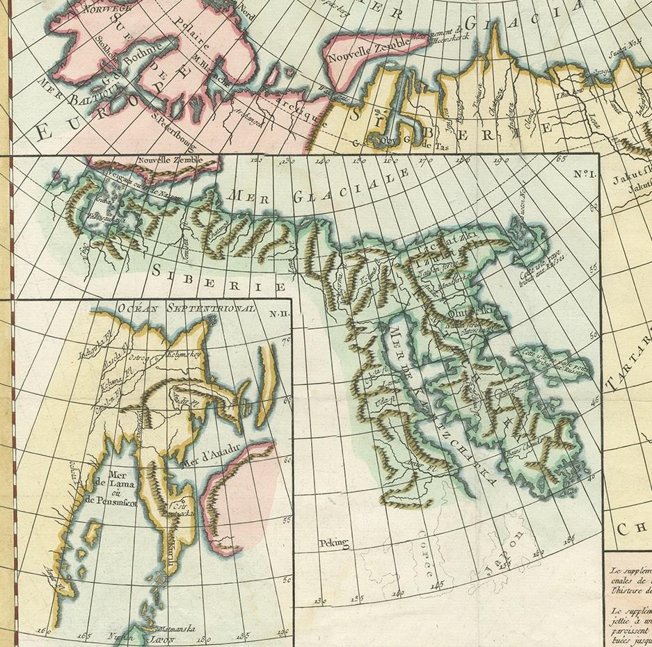
Map the north and east coast of Asia, showing an oddly shaped Japan and inset maps of Kamchatka. Originates from 'The Encyclopédie ou Dictionnaire raisonné des sciences, des arts et des métiers, par une Société de Gens de lettres.' which was published under the direction of Diderot and d'Alembert, with 17 volumes of text and 11 volumes of plates between 1751 and 1772. It contained 72,000 articles written by more than 140 contributors.
This encyclopdia was a massive reference work for the arts and sciences, as well as a means to propagate the ideas of the French Enlightment. The impact of this encyclopedia was enormous.