Maps & PrintsBartele Gallery · Langweer
Home / Antique Maps / Sea Charts

Sea Charts

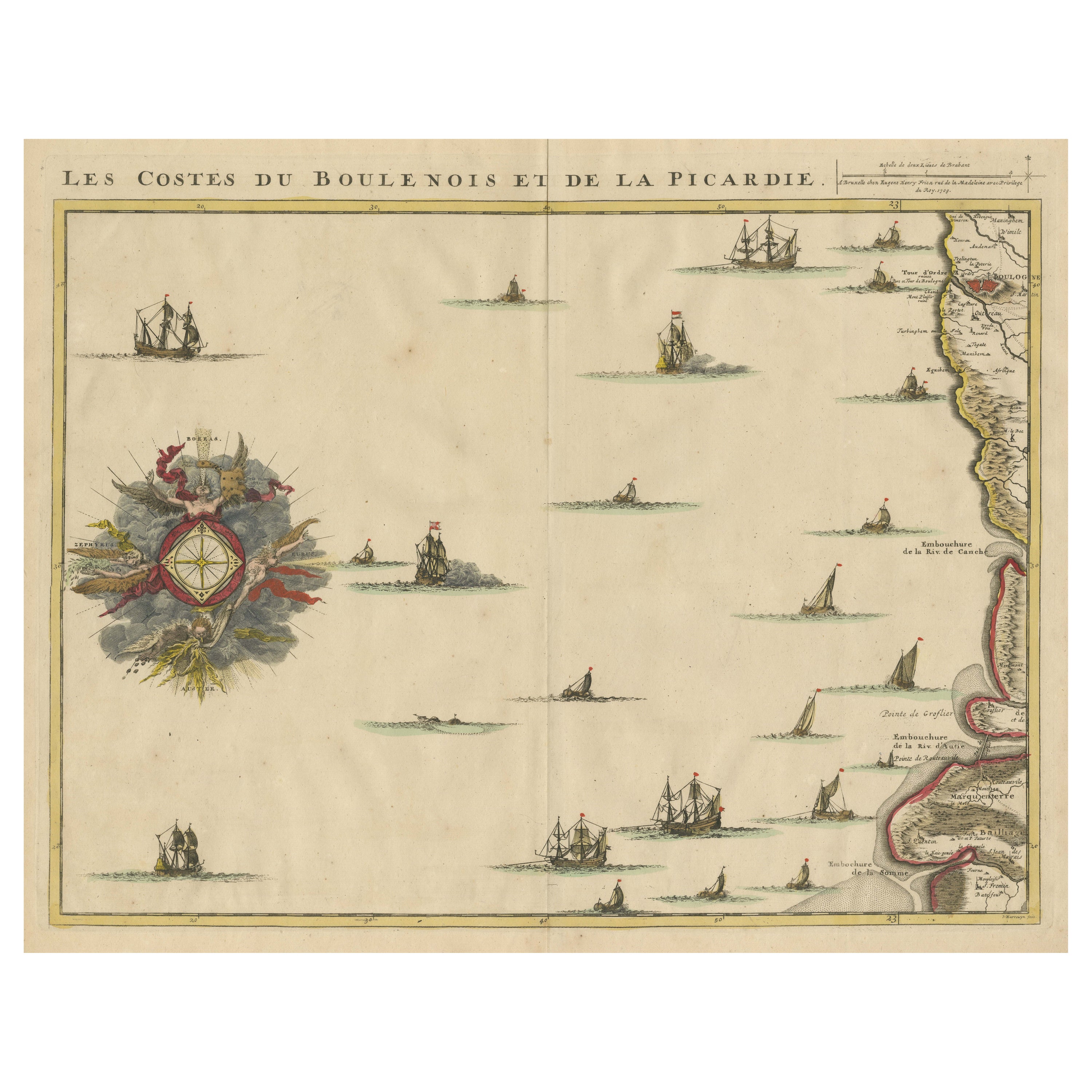

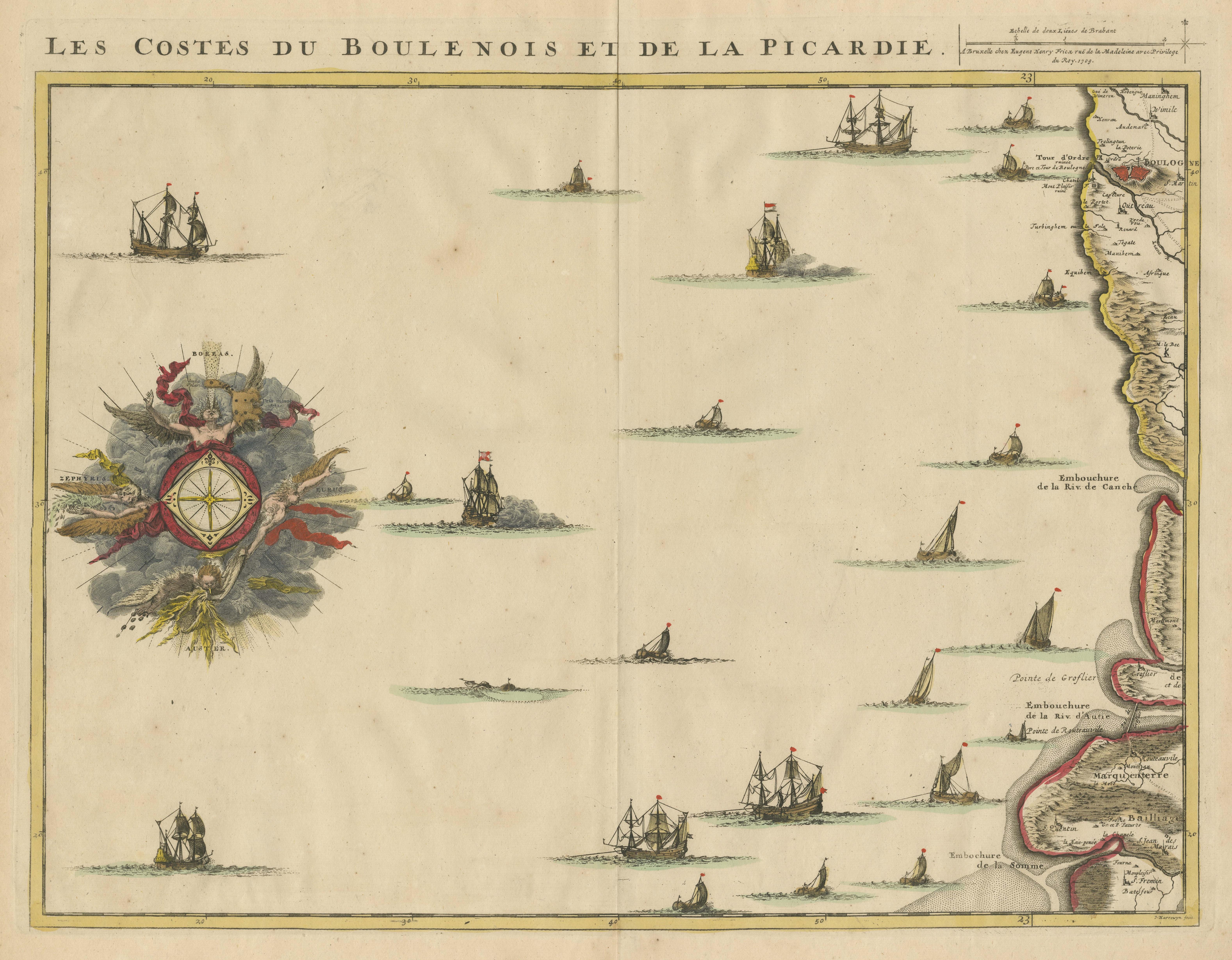
Antique Map of the French Coast at Boulogne and Picardy

€ 490

One of a kind: this is the sheet in the photographs. Ships from Langweer, the Netherlands.

Sheet size
53.2 × 61.6 cm (20.9 × 24.3 in)
Condition
Good
Reference
BG-13530-2

Condition

General age-related toning. Original folding line, with small split. Minor wear and soiling. Blank verso. Please study image carefully.
About this sheet

Antique map titled 'Les Costes du Boulenois et de la Picardie'. Map of the French coast at Boulogne and Picardy. Left a large wind rose. Part of a bundled collection of plans of battles and cities renowned in the Spanish succession war. Engraved by J. Harrewijn, published 1712.

More from Sea Charts

Ask about this sheet

Antique Map of the French Coast at Boulogne and Picardy
Ref. BG-13530-2 · € 490
We reply by email, usually within one working day.