Maps & PrintsBartele Gallery · Langweer
Home / Antique Maps / Sea Charts

Sea Charts

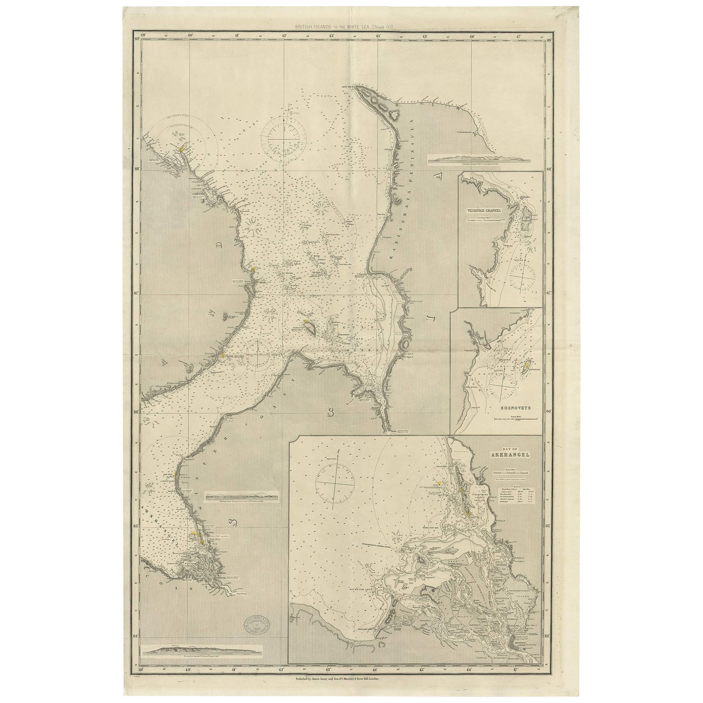
Antique Map of the British Islands to the White Sea by J. Imray

€ 458

One of a kind: this is the sheet in the photographs. Ships from Langweer, the Netherlands.

Sheet size
106 × 70.5 cm (41.7 × 27.8 in)
Condition
Good
Reference
BG-06215

Condition

Please study image carefully.
About this sheet

Antique large nautical chart of the British Islands to the White Sea. With insets of Veshnyak Channel, Sosnovets and the Bay of Arkhangel. Published by James Irmay and Son, circa 1875.

More from Sea Charts

Ask about this sheet

Antique Map of the British Islands to the White Sea by J. Imray
Ref. BG-06215 · € 458
We reply by email, usually within one working day.