18th Century Map of Upper Guinea: Kingdoms and Coastal Regions of West Africa
€ 240
One of a kind: this is the sheet in the photographs. Ships from Langweer, the Netherlands.
Sheet size
28.8 × 39.5 cm (11.3 × 15.6 in)
Reference
BG-13746-6
Condition
good, given age. With some soiling and some creasing in top. General age-related toning and/or occasional minor defects from handling. Vertial fold (as issued) has been flattened. Please study scan carefully.
About this sheet
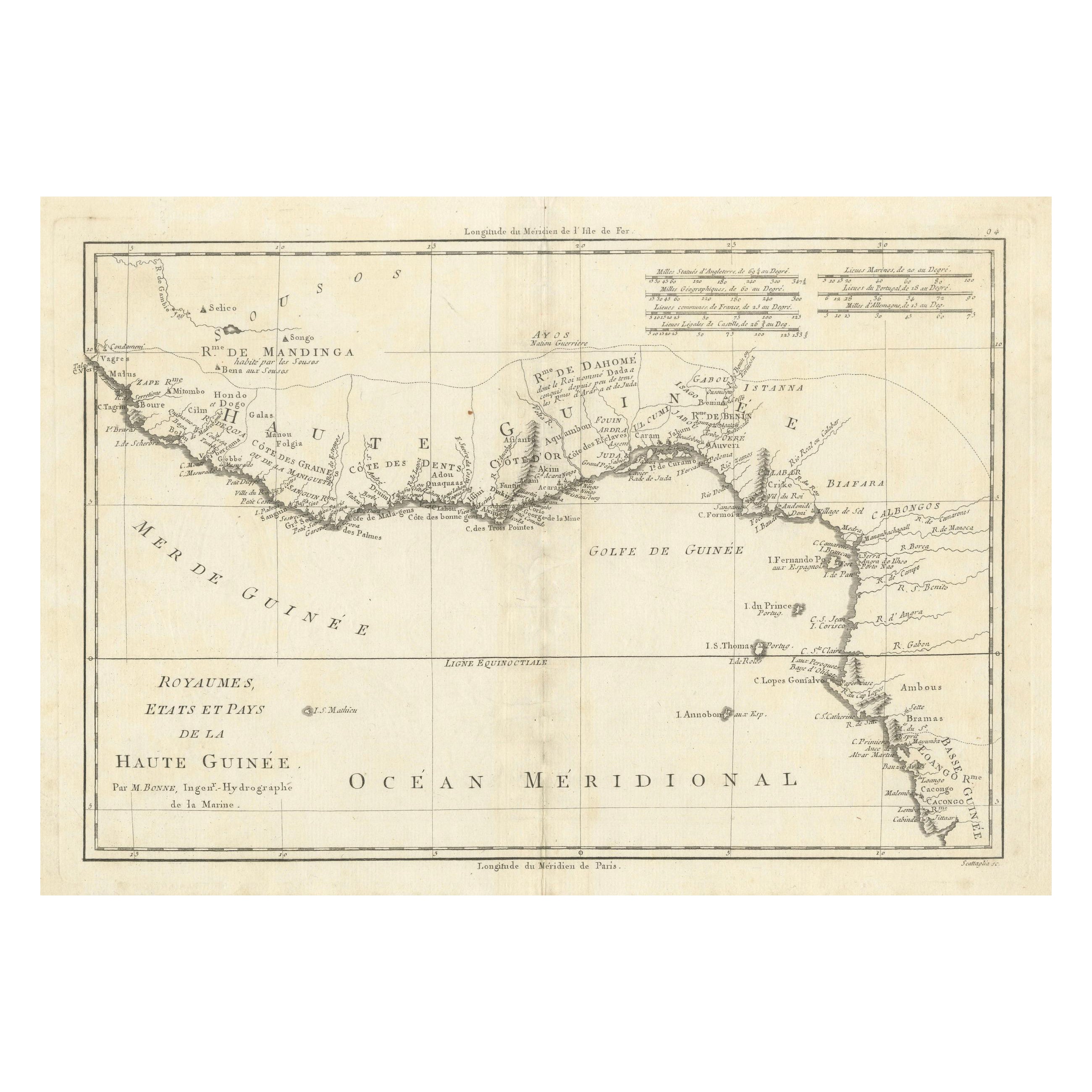
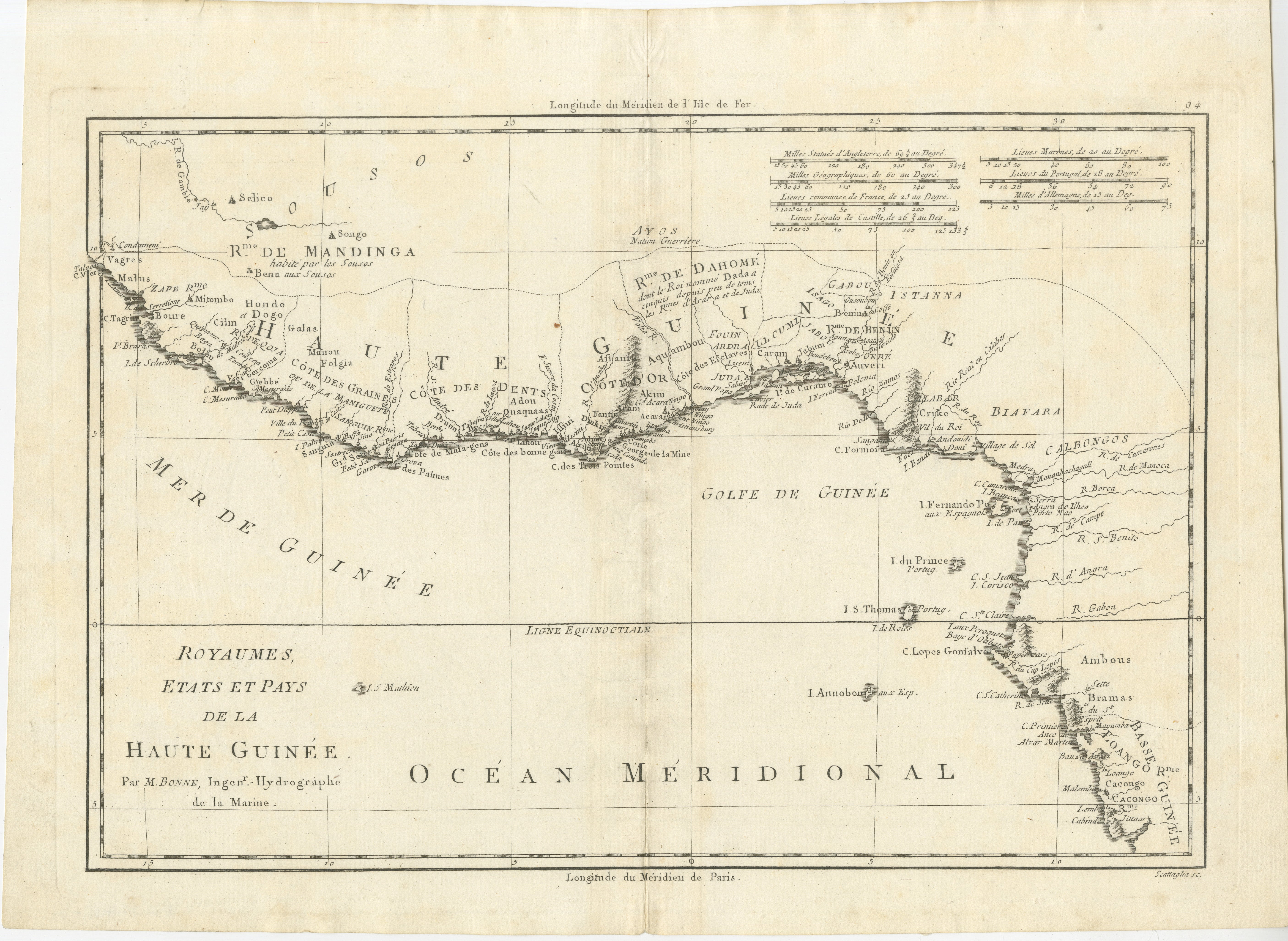
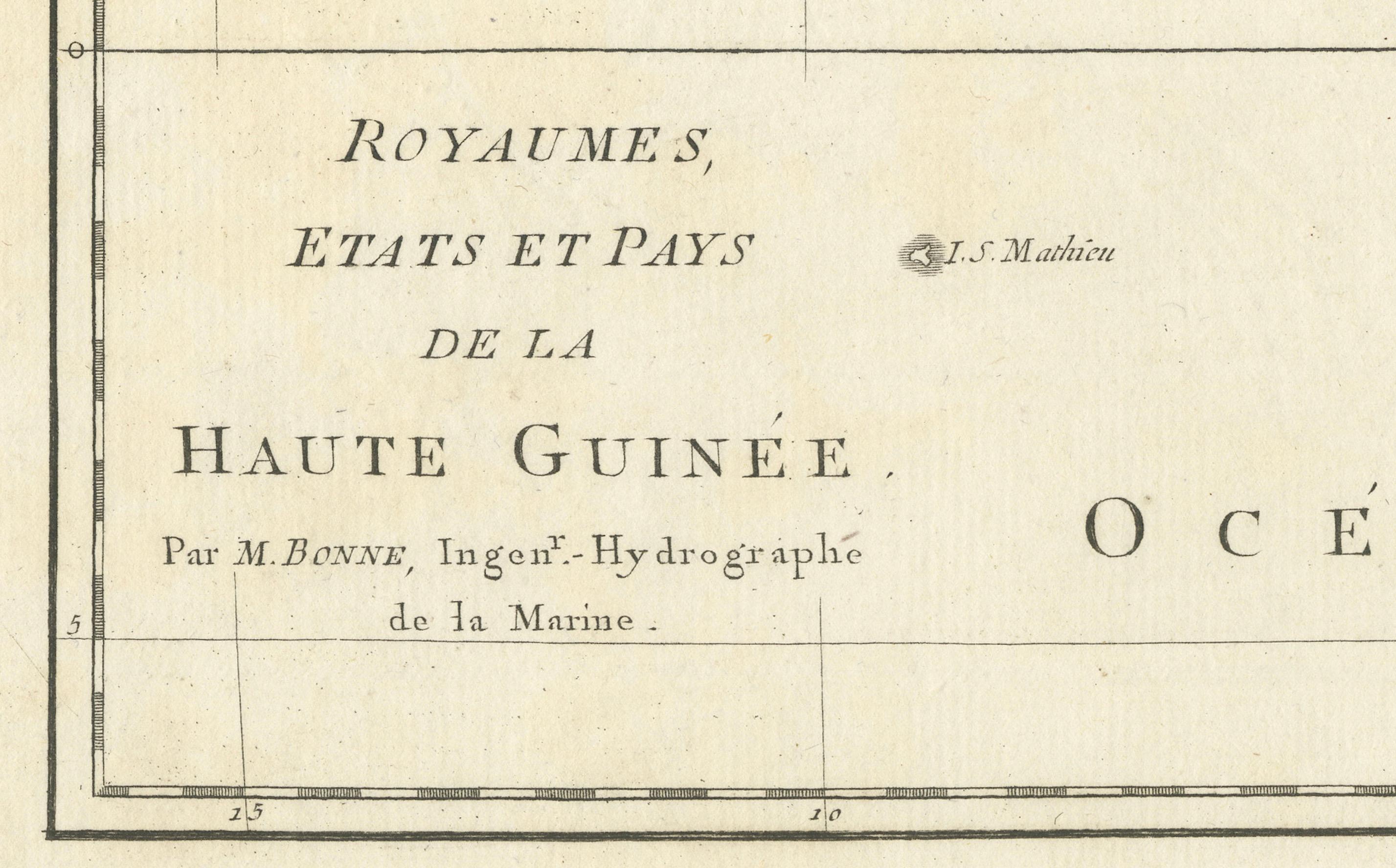
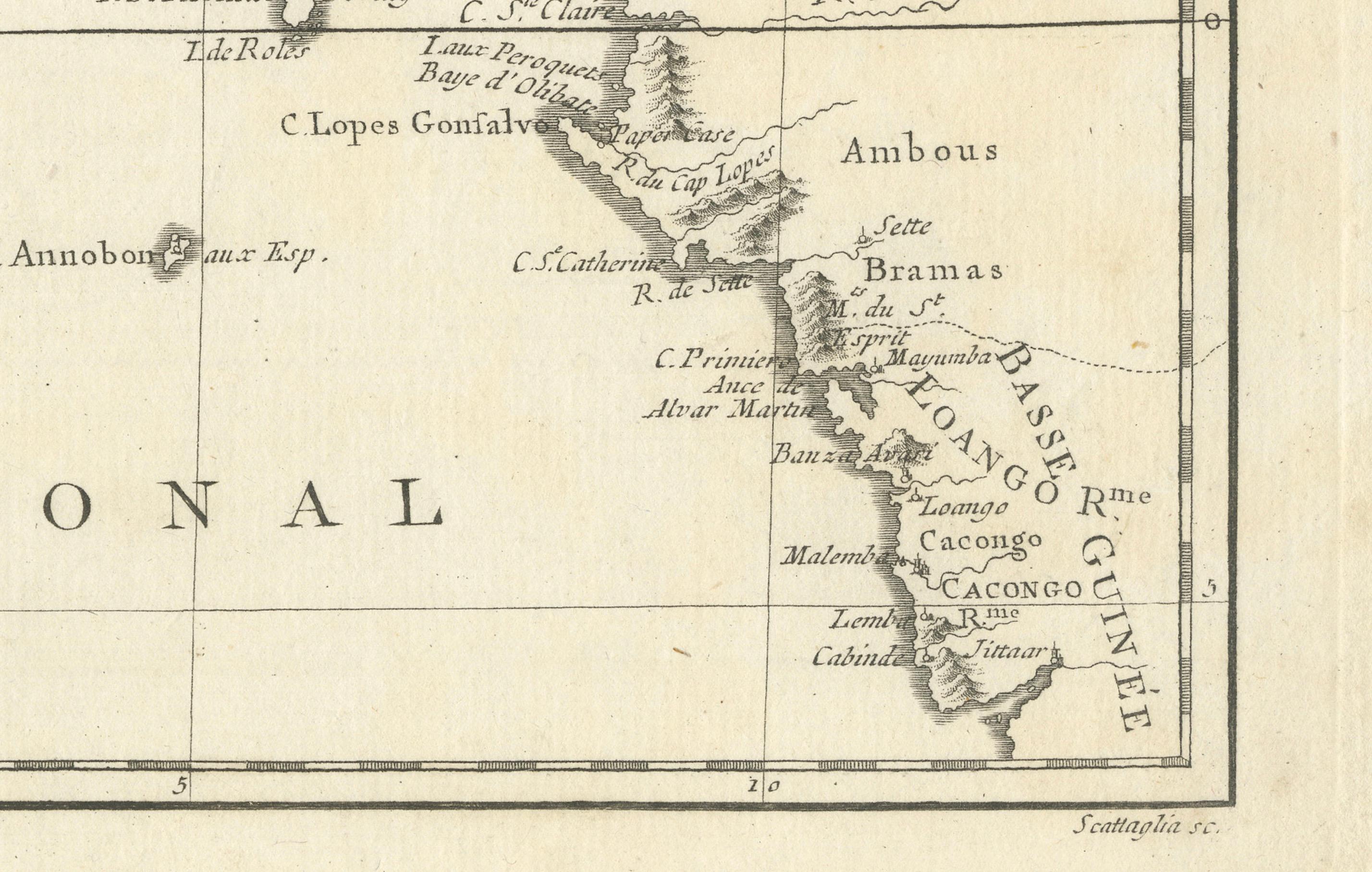
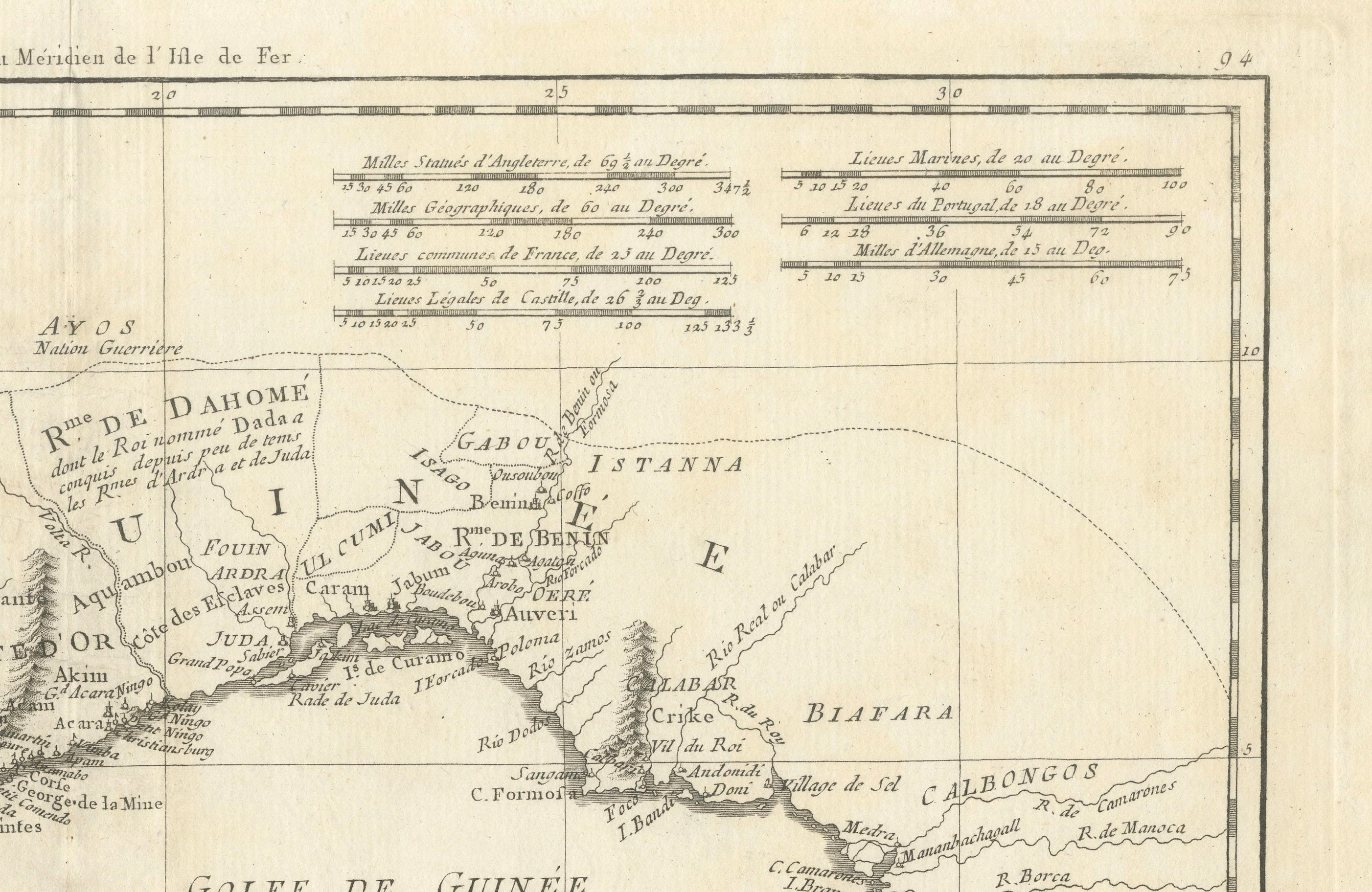
This is an antique map depicting the coastal regions of West Africa, specifically the Gulf of Guinea and surrounding areas, including parts of what is now Senegal, Guinea, Sierra Leone, Ivory Coast, Ghana, Togo, Benin, and Nigeria. The map is titled "Royaumes, États et Pays de la Haute Guinée," which translates to "Kingdoms, States, and Lands of Upper Guinea."
Key Features of the Map:
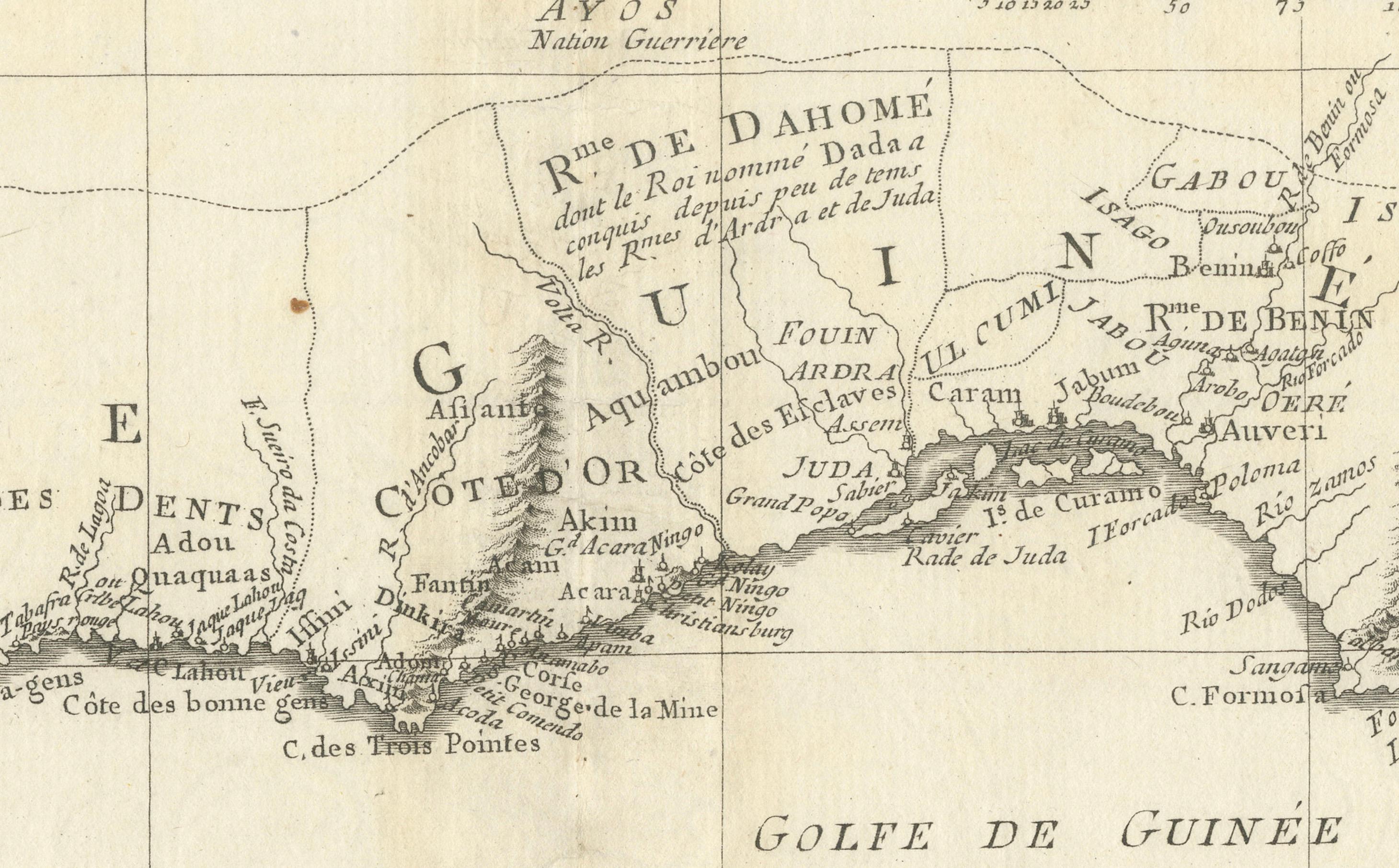
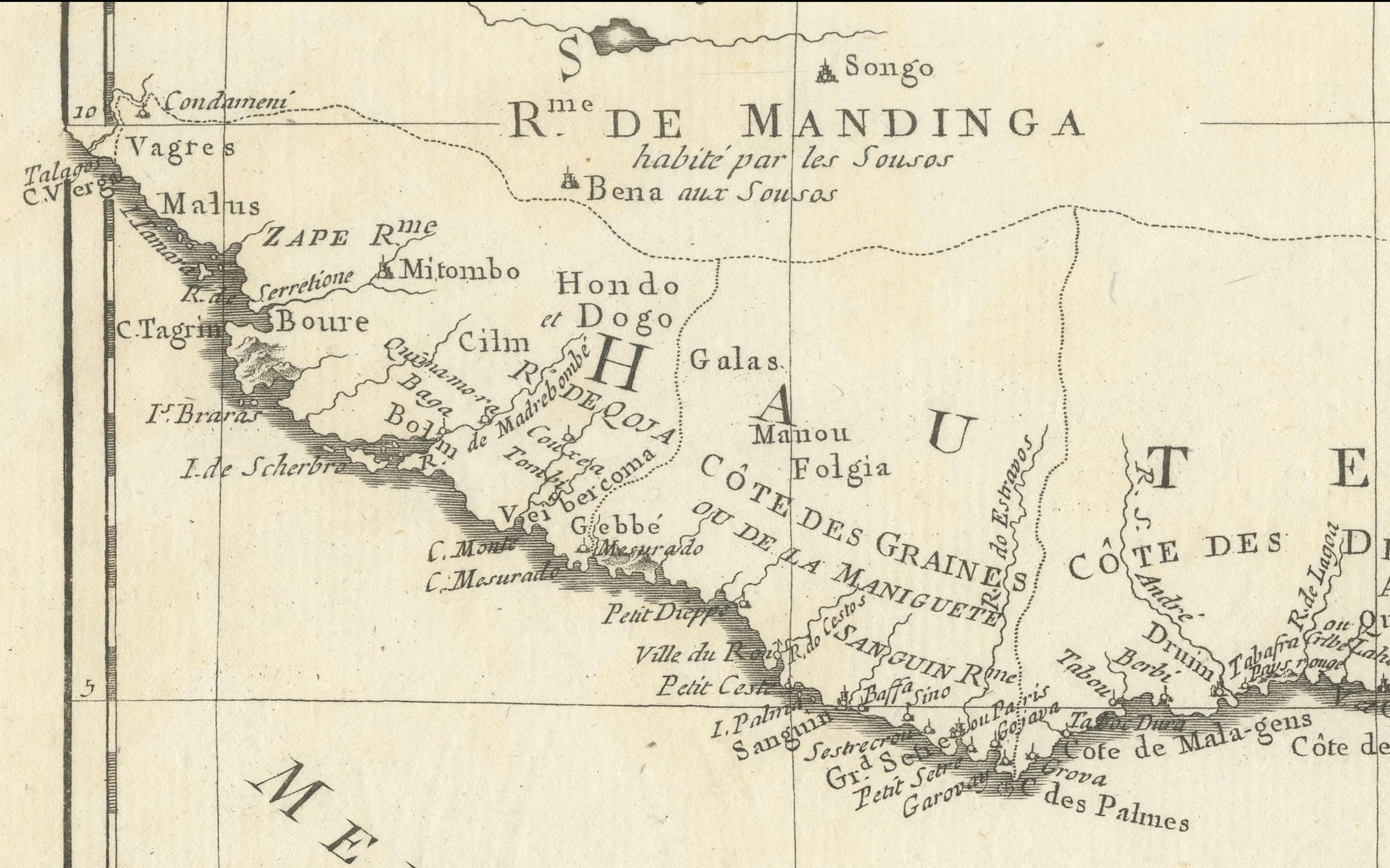
- Geographical Coverage: The map focuses on the coastline along the Gulf of Guinea, highlighting various regions such as "R.de Mandinga" (River of the Mandinka), "Côte des Graines" (Grain Coast), "Côte de l'Or" (Gold Coast), and "R.de Dahome" (Kingdom of Dahomey).
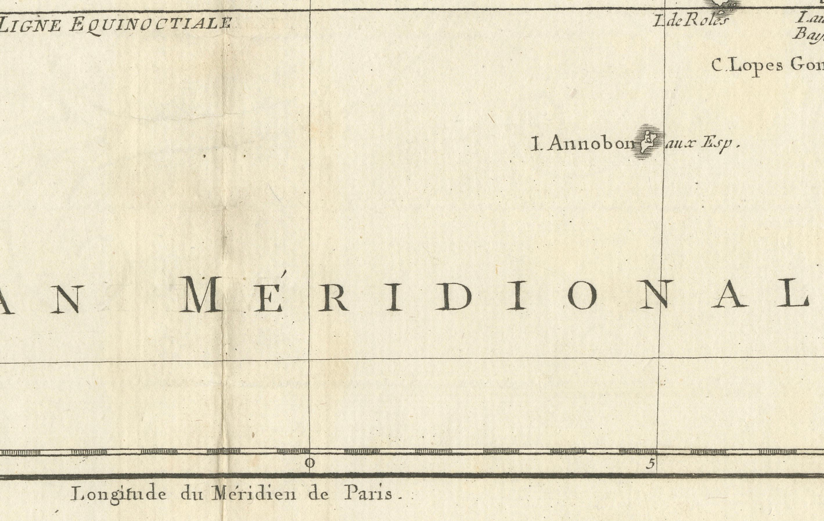
- Detailing: The map includes numerous place names, coastal features, rivers, and the locations of different kingdoms and tribes. Important geographical markers, such as the Equator ("Ligne Équinoctiale"), are also noted. - Cartographer: The map is attributed to M. Bonne, Ingenieur-Hydrographe de la Marine, indicating that this map was produced by a hydrographer, in the service of the French navy, with a focus on coastal and marine geography. - Historical Context: This map dates from the late 18th century, a period of significant European exploration and colonization in Africa.