About this sheet
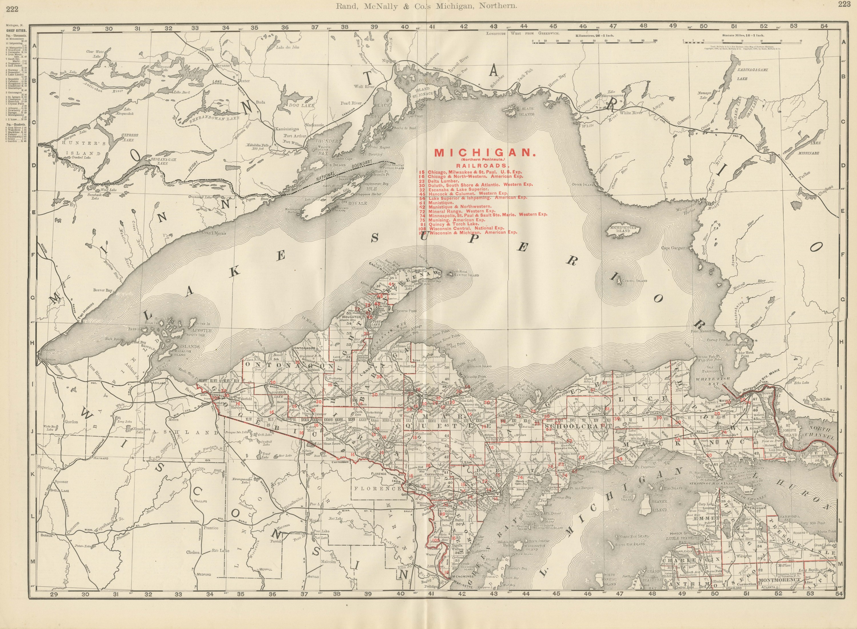
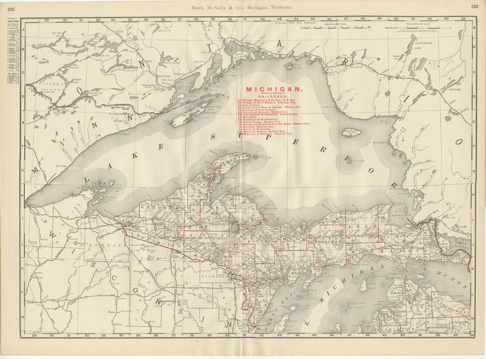
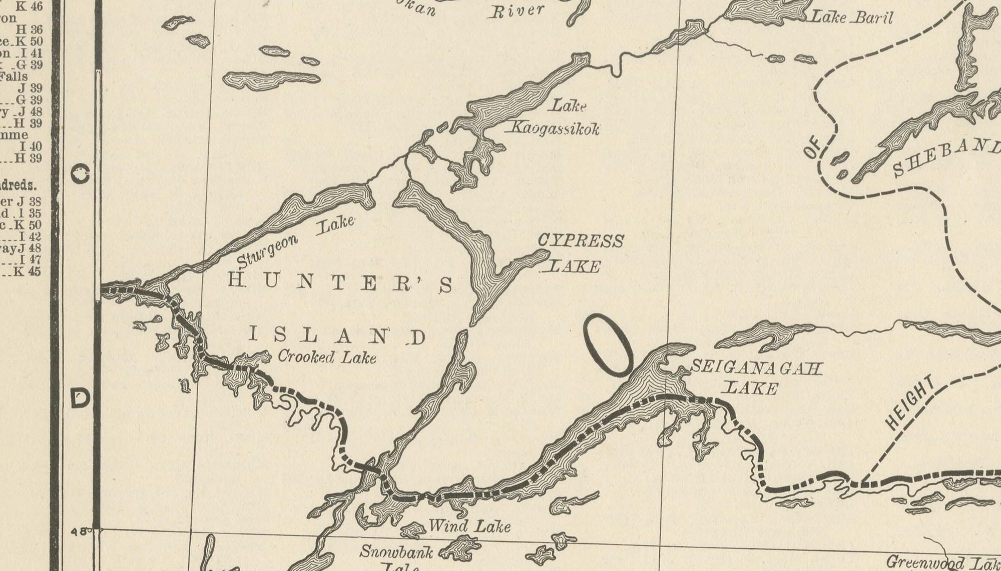
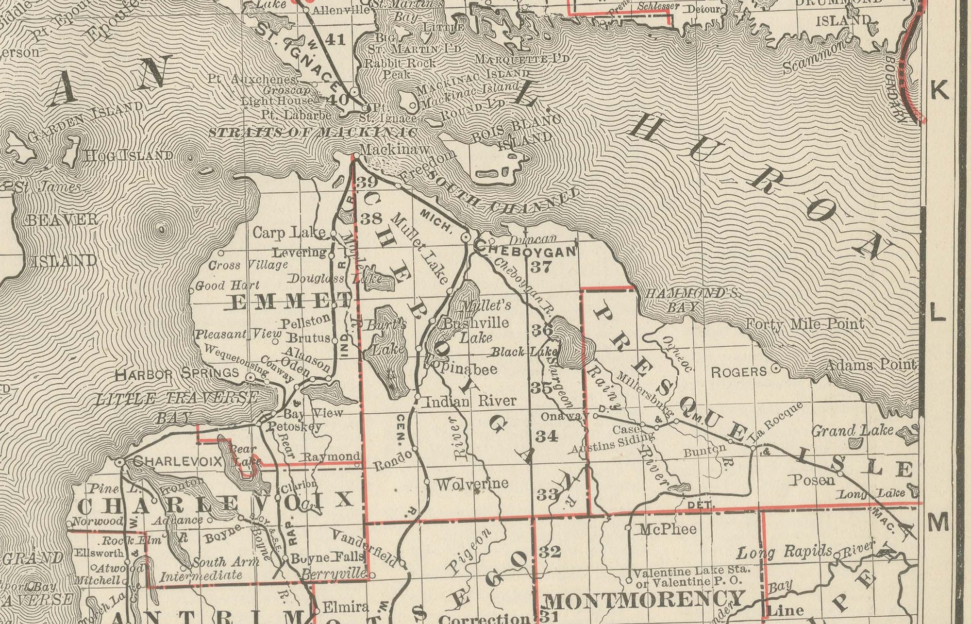
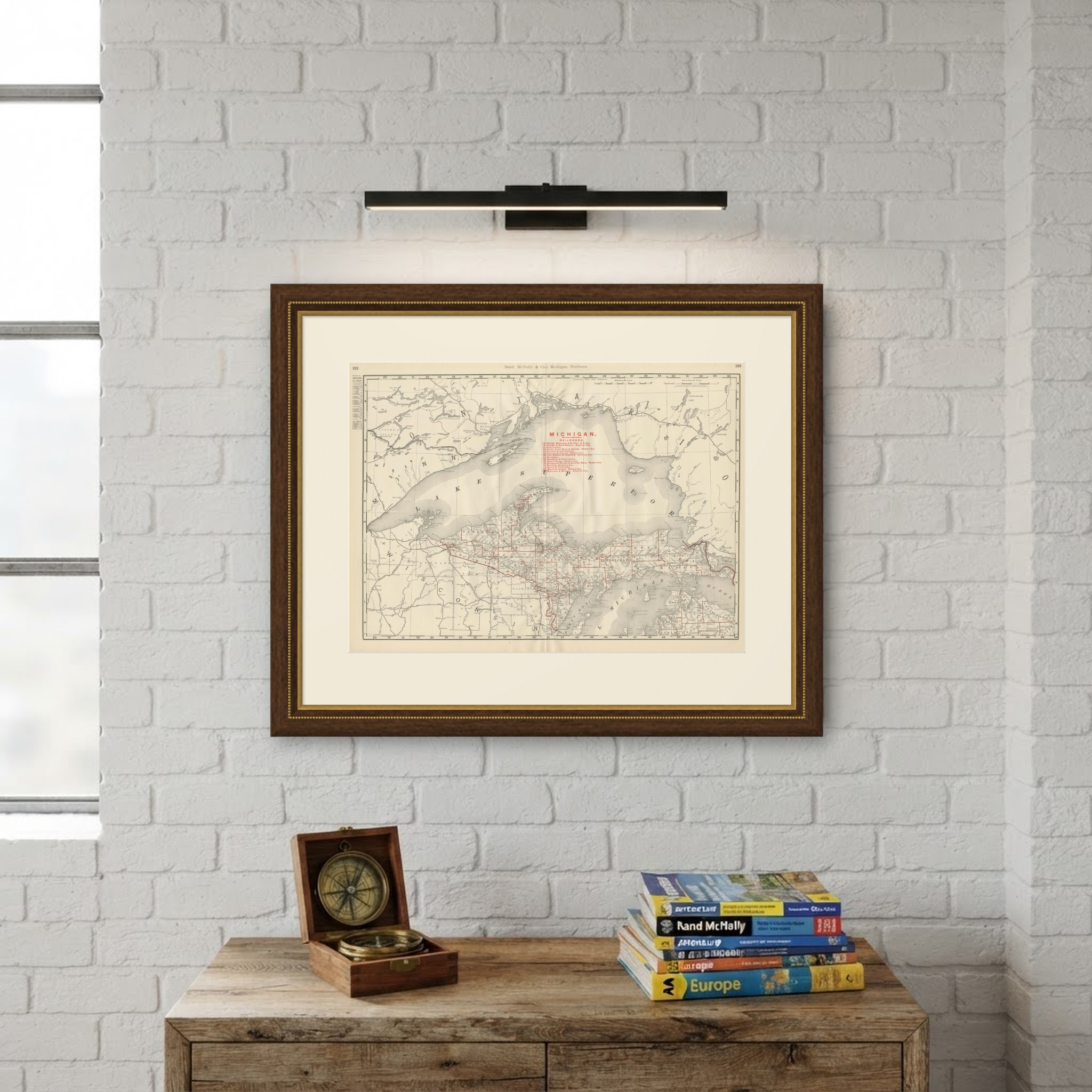
Copper country fills this antique map of Northern Michigan and Lake Superior from the Rand McNally indexed atlas of 1899, a double-page sheet on pages 222 and 223 centred on the Upper Peninsula.
The map runs from the Wisconsin and Minnesota shore in the west to the Canadian border and the Ontario shoreline in the east, with Isle Royale, Michipicoten Island and the Apostle Islands all shown. The lake is the dominant feature, rendered with stipple shading and the international boundary traced through its center. The Keweenaw Peninsula carries a noticeably dense cluster of place names and rail lines, Houghton, Calumet and Hancock among them, a direct record of the copper district that made this corner of the state one of the country's principal sources of copper at the close of the nineteenth century.
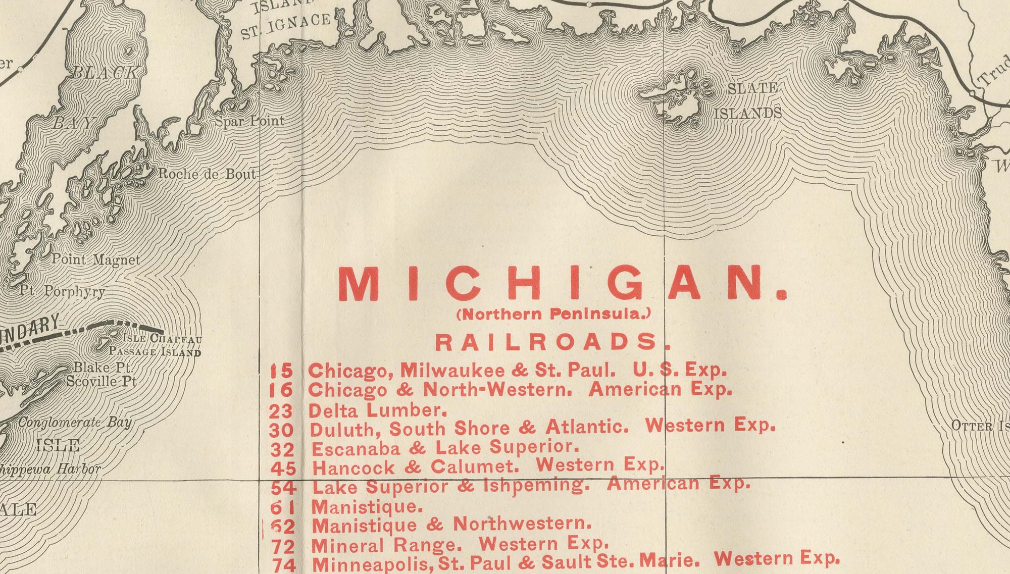
A railroad legend numbered in red at upper right lists a dozen companies, the Chicago, Milwaukee and Saint Paul, the Duluth, South Shore and Atlantic, the Lake Superior and Ishpeming, the Mineral Range, and the Escanaba and Lake Superior among them, lines built to carry copper and iron ore from the Keweenaw and the Marquette and Menominee ranges to the lake ports. Much of the interior away from the mining and rail corridor remains sparsely labeled forest and swamp. Scale is given as 16 statute miles to the inch, and a note directs the reader to the adjoining Wisconsin, Minnesota and Southern Michigan sheets.
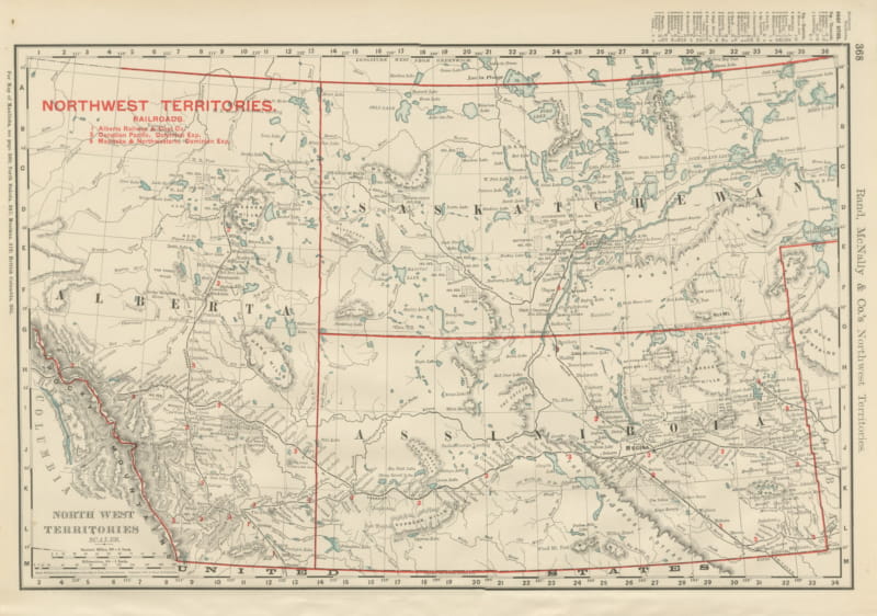
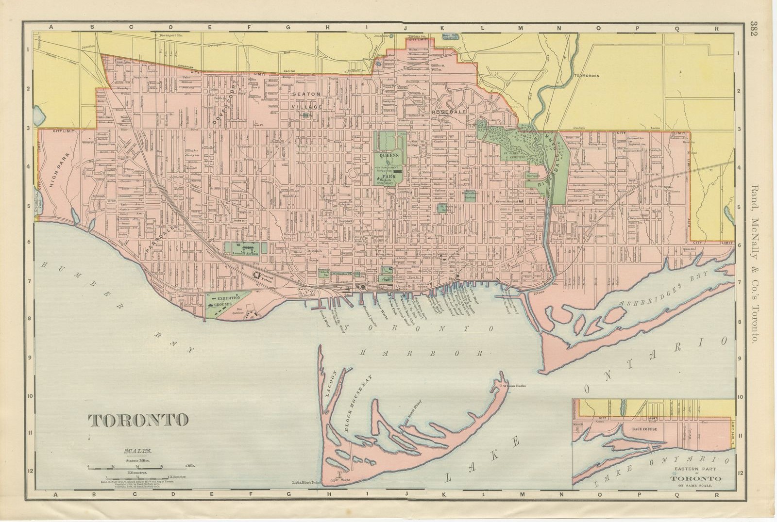
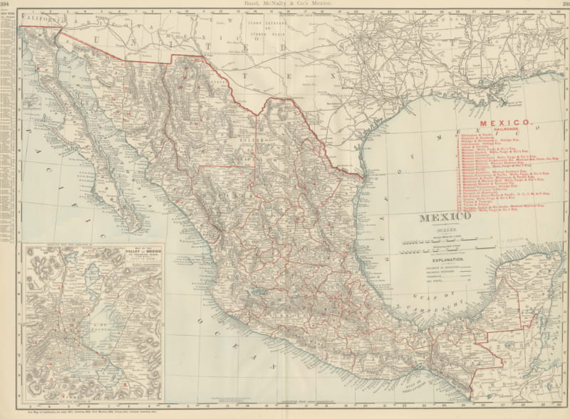
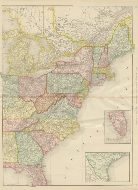
Rand McNally's roots lie in a Chicago printing business started by William Rand in the 1850s and joined by Andrew McNally. The firm had become one of the foremost map publishers in the United States by the 1890s, and its indexed atlas of 1899 shows the house speciality at work: railroad and commercial maps revised from issue to issue.
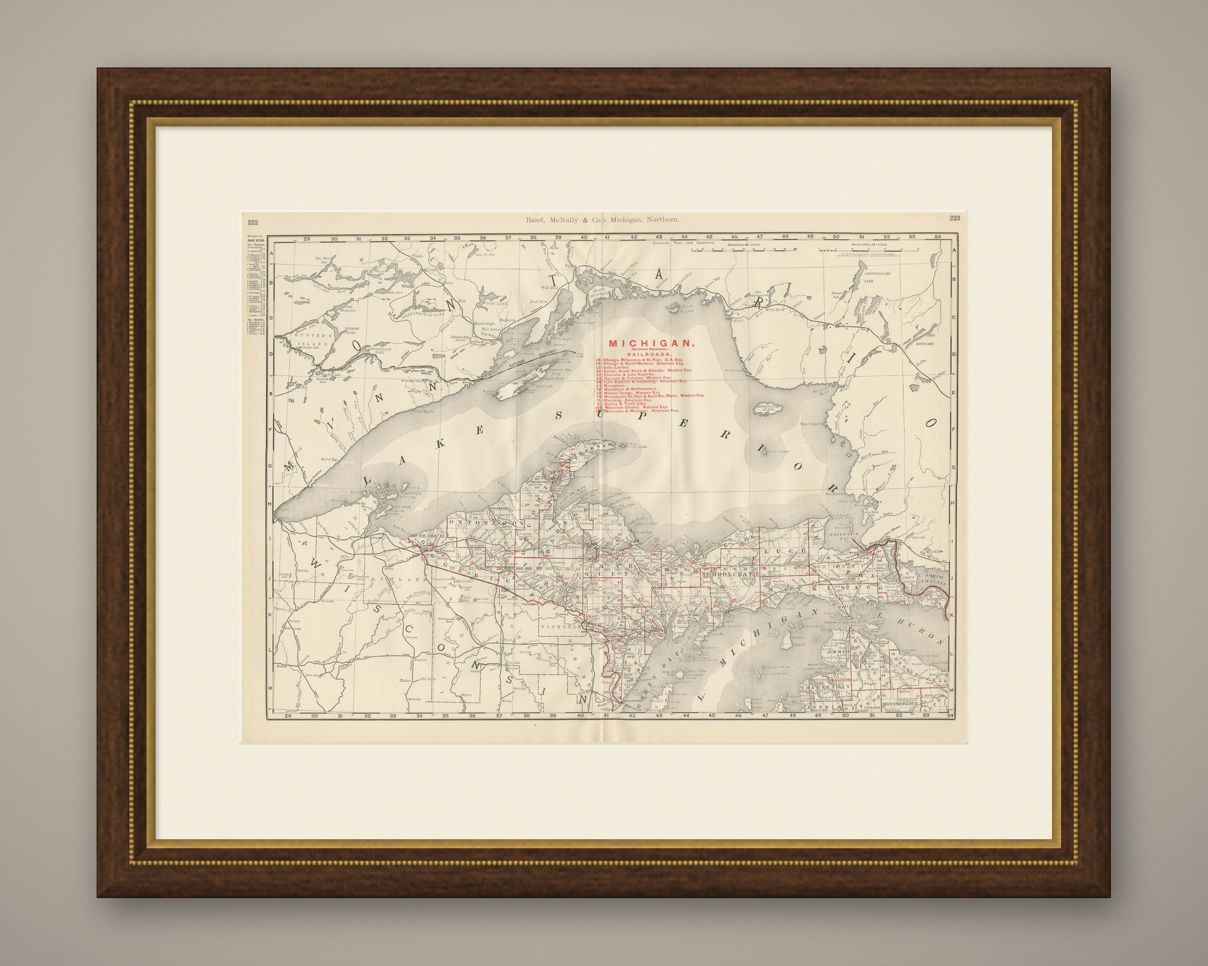
Technically the sheet is a lithograph with printed color: the outline was printed in black and the colors were printed over it, so none of the coloring was added by hand. Once framed, this antique map of Northern Michigan and Lake Superior would suit a home or office in Michigan today, and it will appeal to collectors of American state maps and railroad history.
The sheet is in good condition for its age, with light, even age toning, minor handling wear to the sheet edges and the original central fold as issued. Please review the images for further condition details.
This is an original antique map, not a modern reproduction. This item is sold unframed. Any framed or interior images are shown for presentation and inspiration only, unless the listing explicitly states that the item is sold framed.