About this sheet
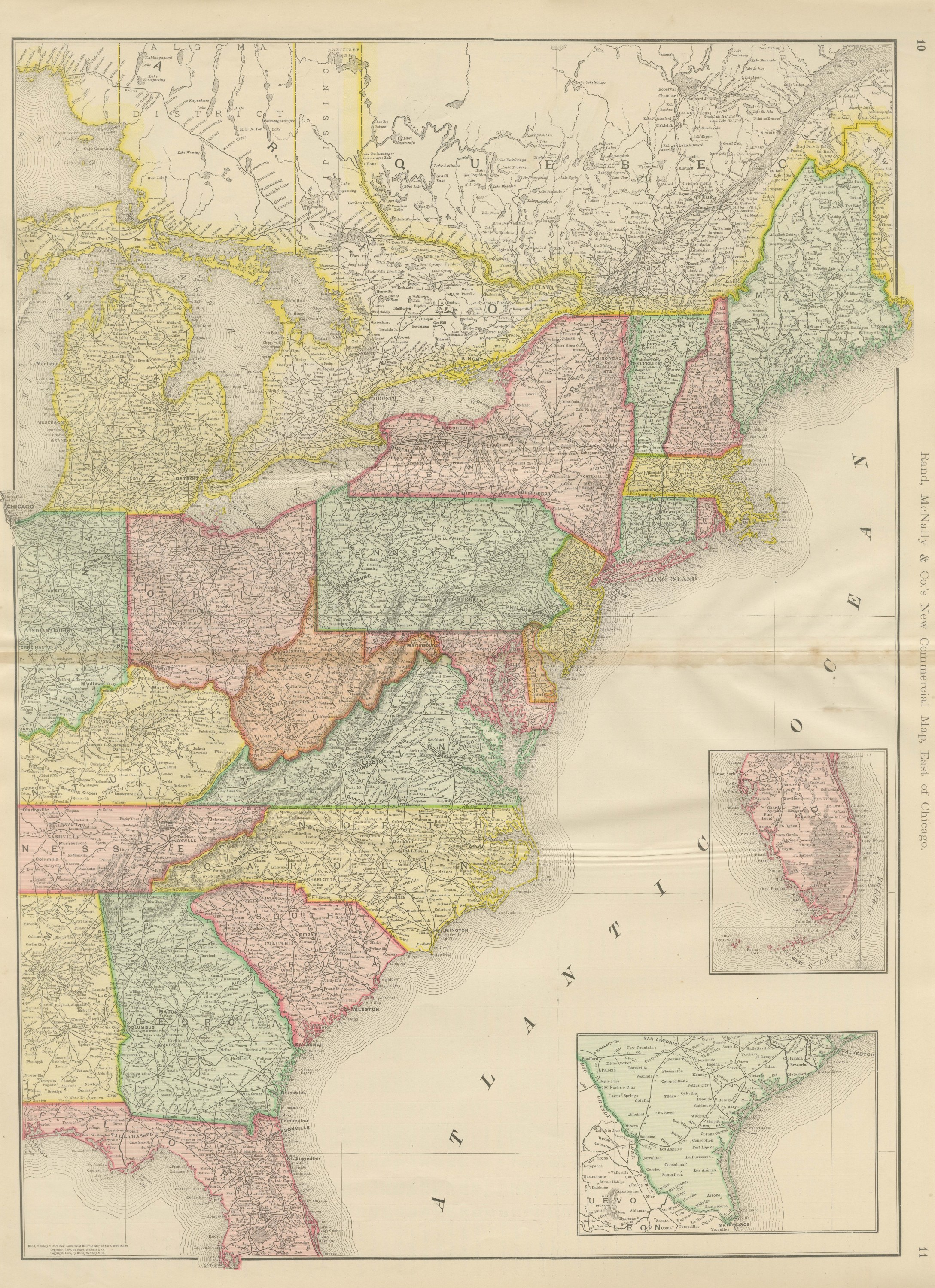
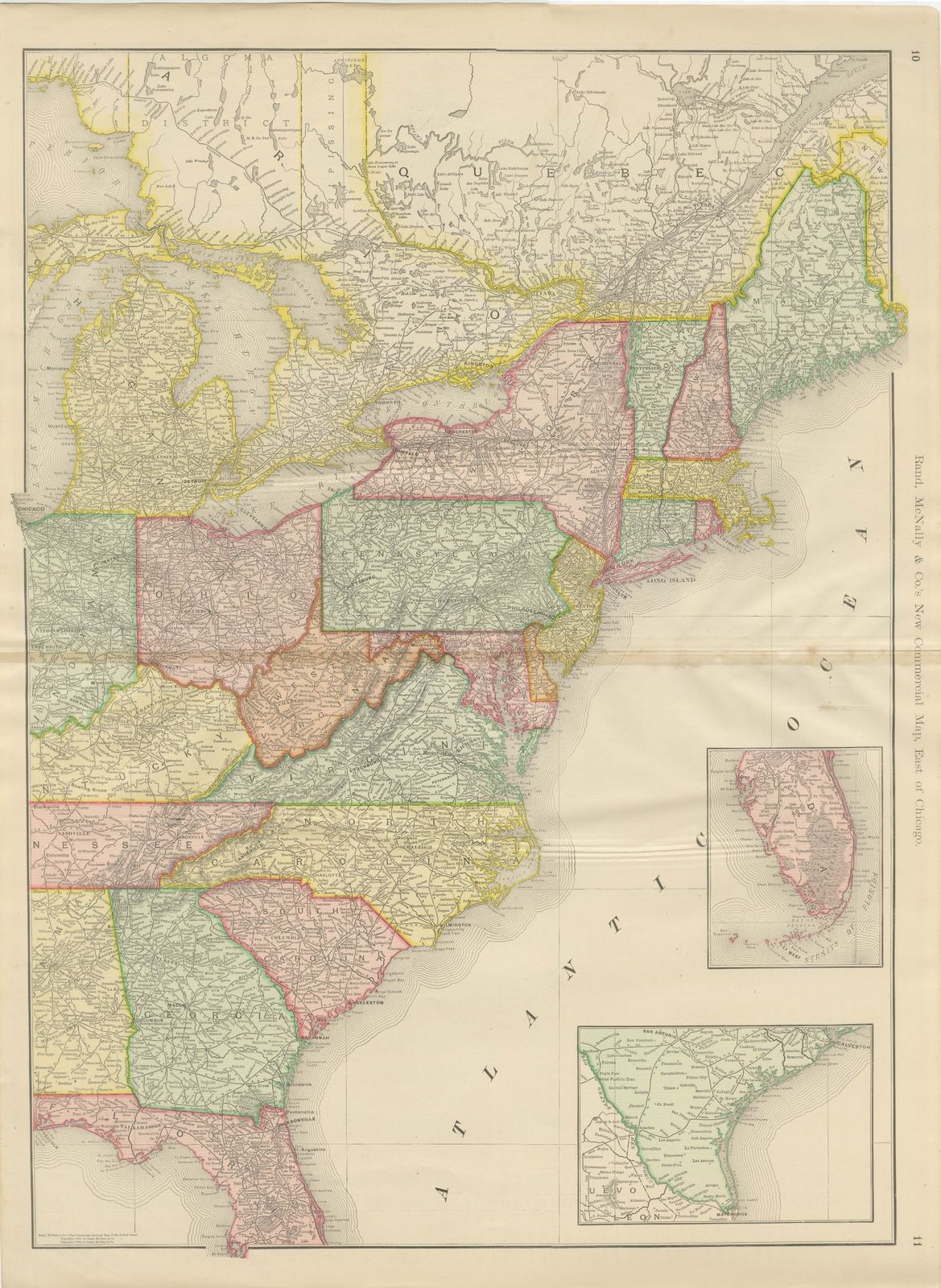
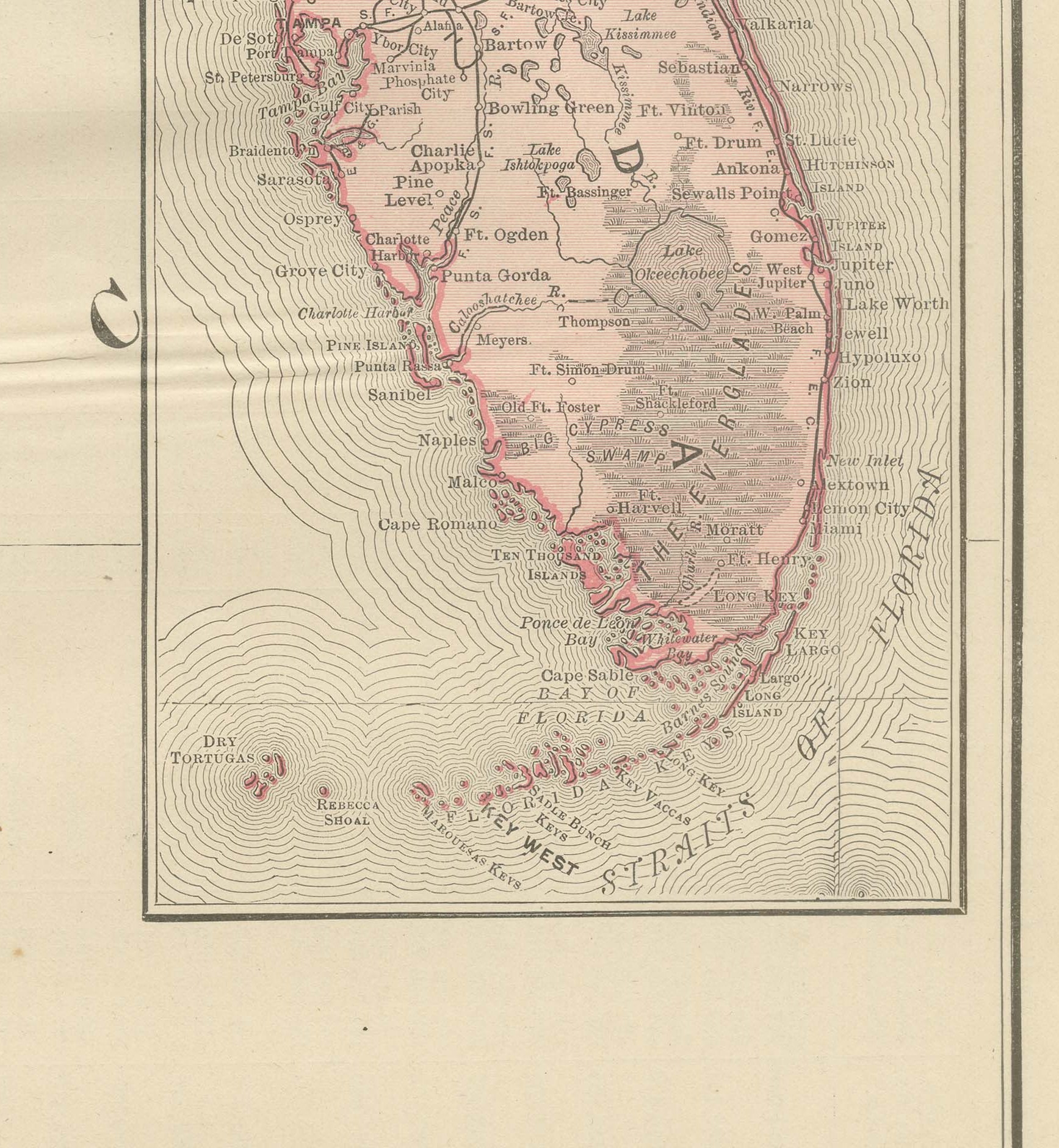
Rand McNally issued this antique map of the eastern United States in its 1899 indexed atlas as the "New Commercial Map, East of Chicago", a double-page sheet on pages 10 and 11 with insets of Florida and the Texas coast.
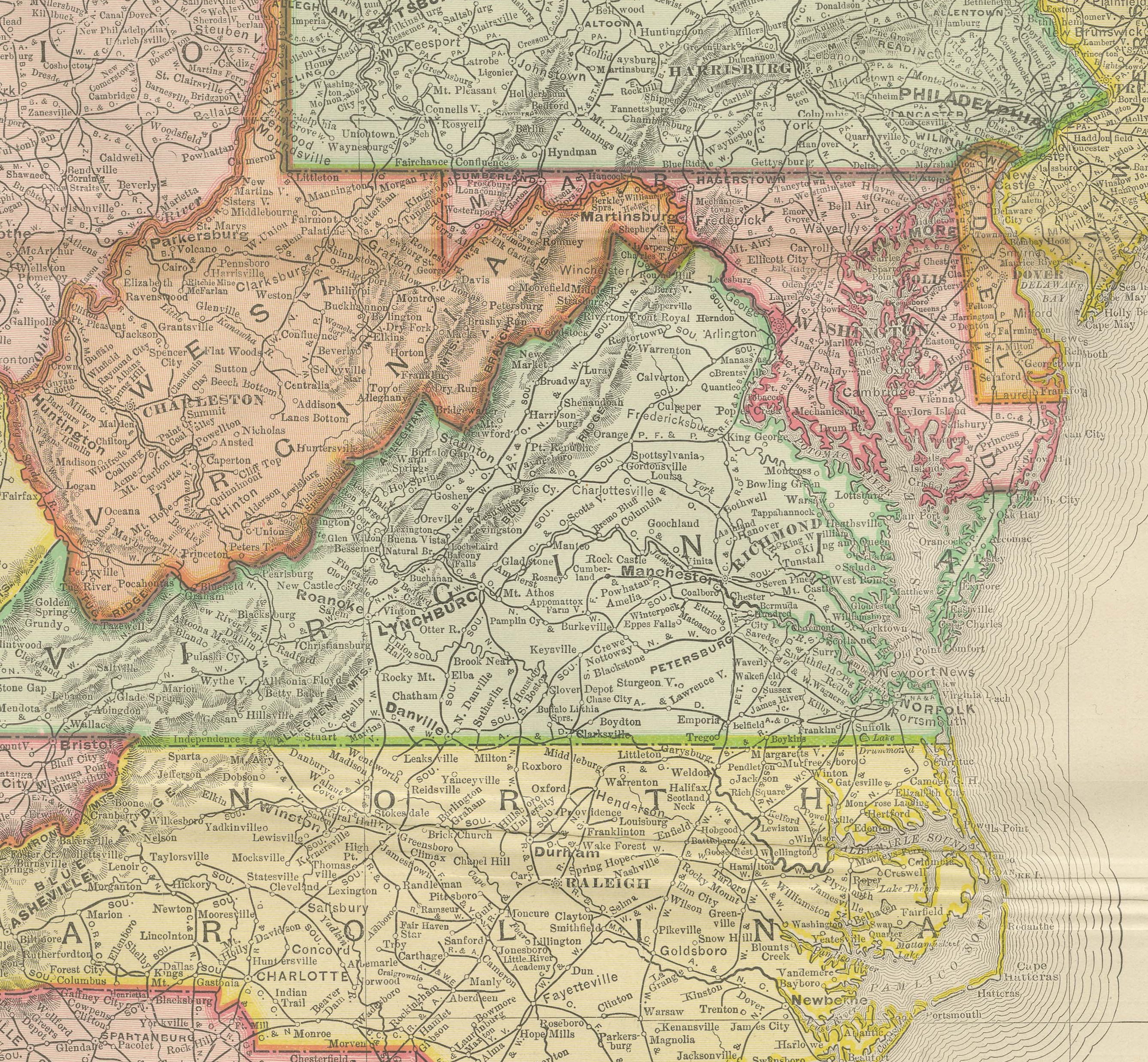
The main map runs from the Algoma district and the north shore of Lake Ontario down through New York, Pennsylvania, Ohio and New England, then south through the Virginias and the Carolinas to Georgia and Florida, each state in its own pastel tint and each boundary picked out with a contrasting line for its neighbor. Two insets in the lower right extend the commercial coverage well beyond the frame: one enlarges the full Florida peninsula down to the Keys and the Straits of Florida, the other the Texas coast from San Antonio to Galveston.
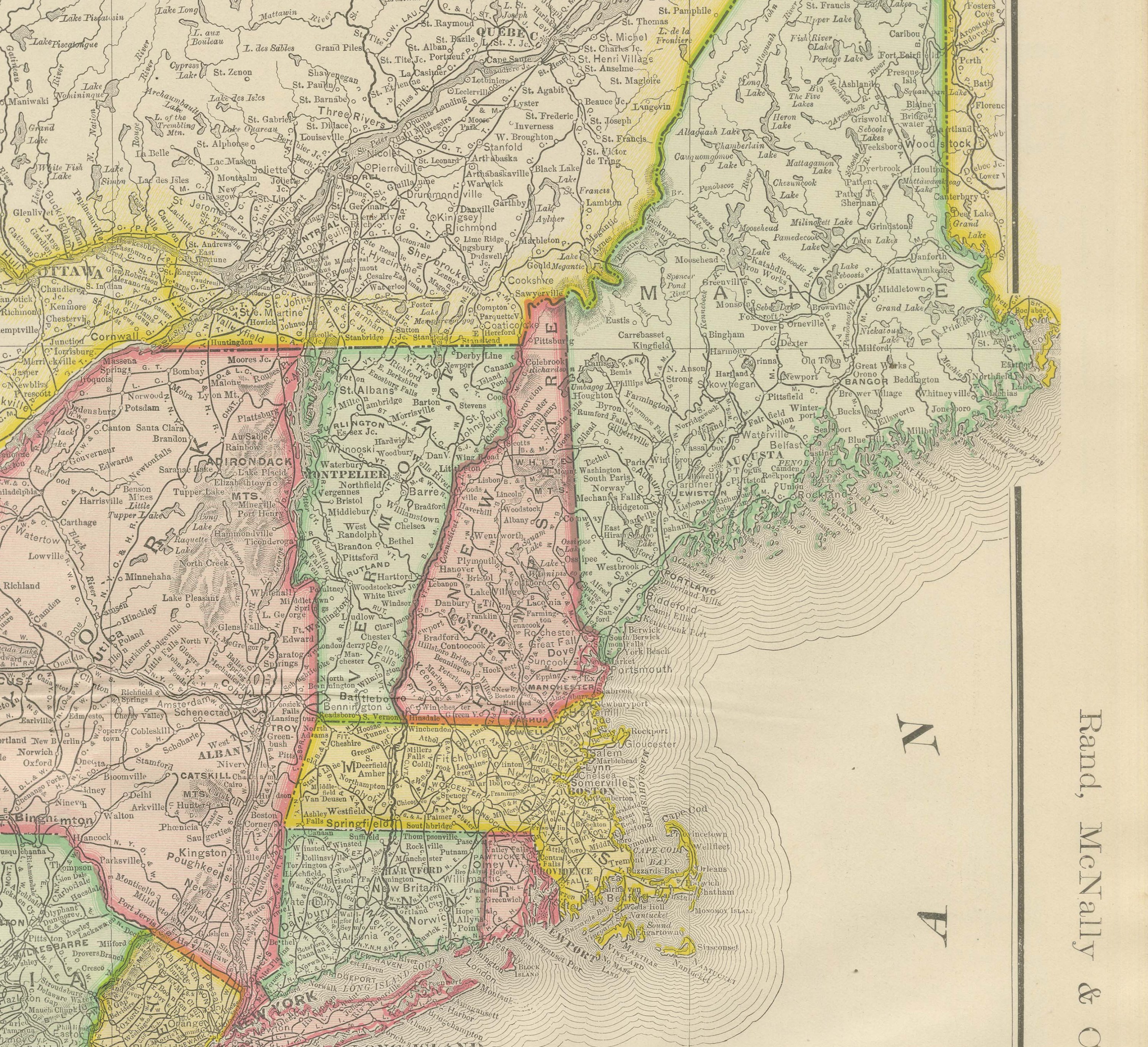
The density of the rail network is the map's most telling feature. A fine mesh of lines fills Ohio, Pennsylvania and New York, thinning noticeably through the Appalachian counties of Virginia and West Virginia and again through the pine country of Georgia and the Carolinas, a visual record of how unevenly the railway building of the previous decades had reached the South compared with the industrial Northeast. Long Island, the Chesapeake Bay shore and the barrier islands of the Carolina and Georgia coast are all drawn in some detail. As a commercial map rather than a county sheet, it was designed to give a single continuous view of rail and steamship connections along the eastern seaboard.
Rand McNally's roots lie in a Chicago printing business started by William Rand in the 1850s and joined by Andrew McNally. The firm had become one of the foremost map publishers in the United States by the 1890s, and its indexed atlas of 1899 shows the house speciality at work: railroad and commercial maps revised from issue to issue.
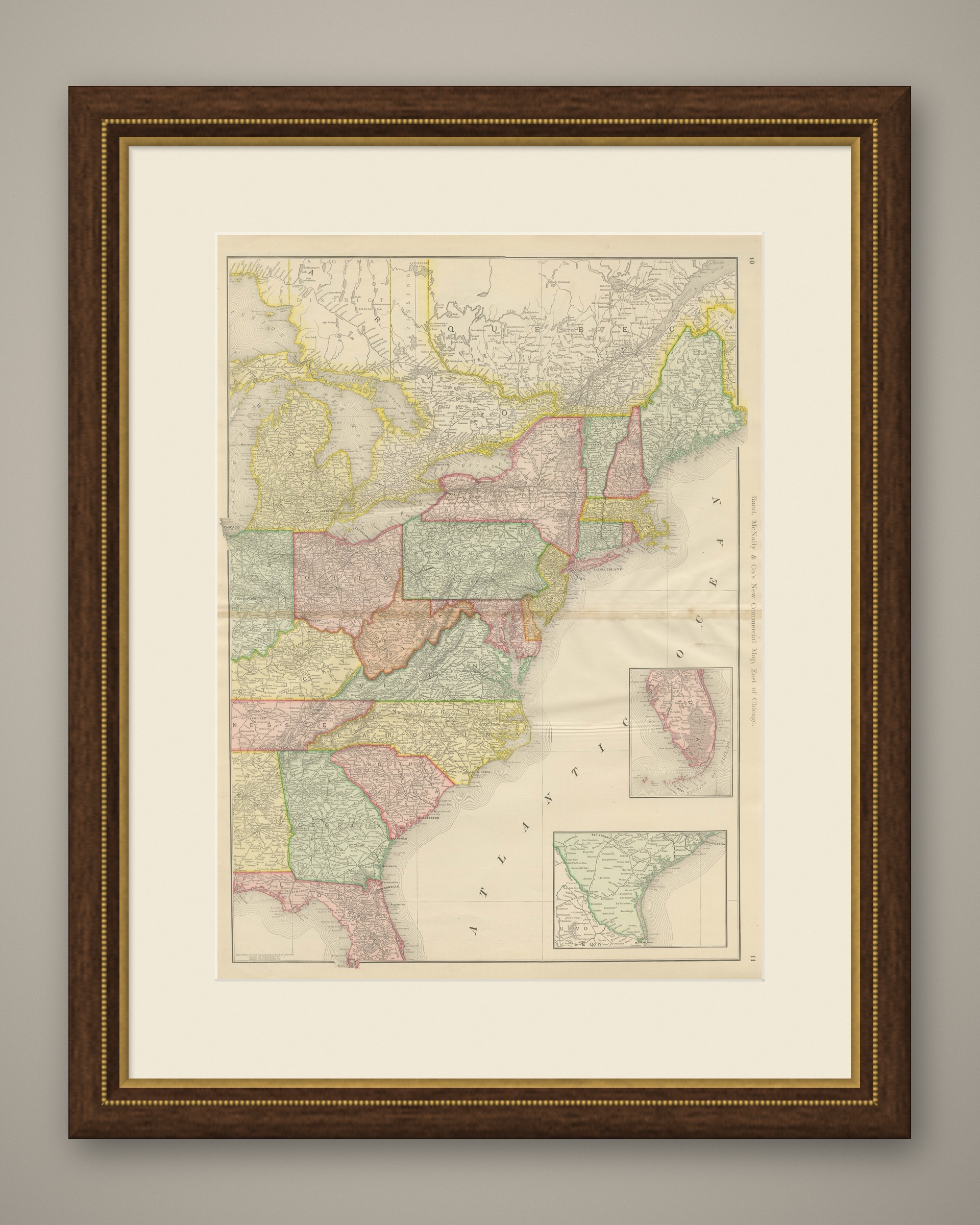
In technique it is a lithograph printed in color, with the black outline printed first and the pastel colors printed over it. Once framed, this antique map of the eastern United States makes a strong wall piece for a study, library or office, and it will appeal to collectors of American railroad and commercial cartography.
The sheet is in good condition for its age, with light age toning, a few faint spots in the margins, a small chip at the upper right corner and the original central fold as issued. Please review the images for further condition details.
This is an original antique map, not a modern reproduction. This item is sold unframed. Any framed or interior images are shown for presentation and inspiration only, unless the listing explicitly states that the item is sold framed.