About this sheet
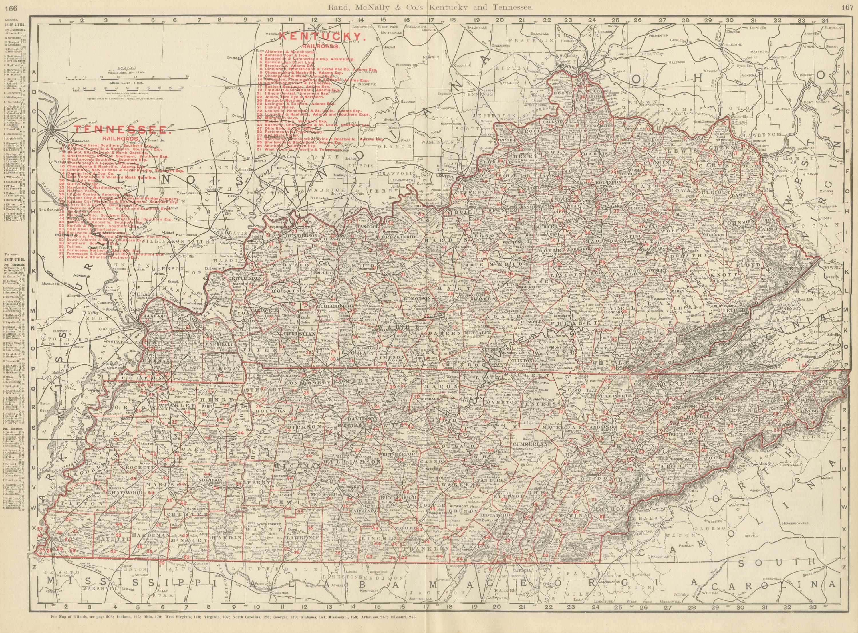
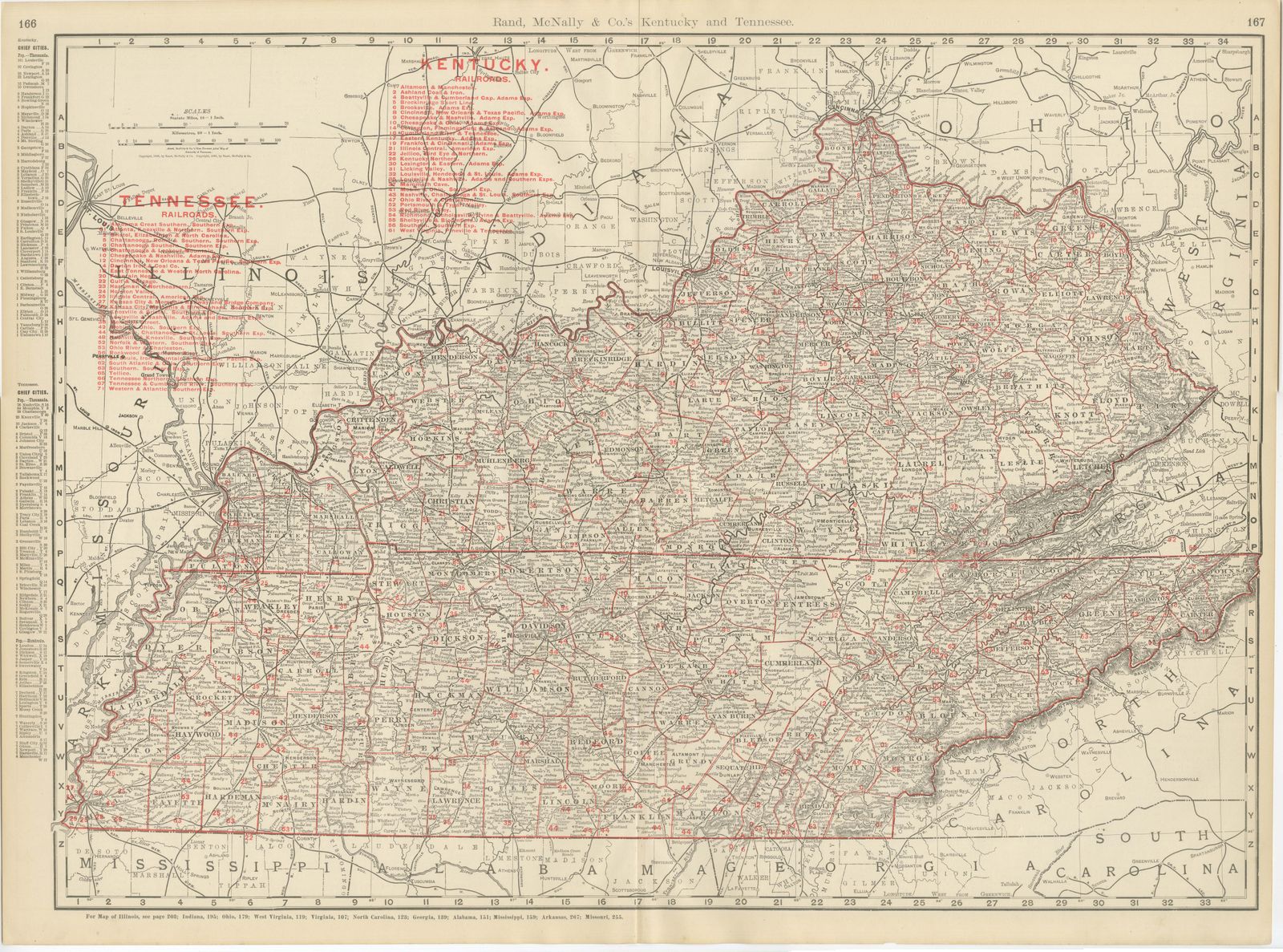
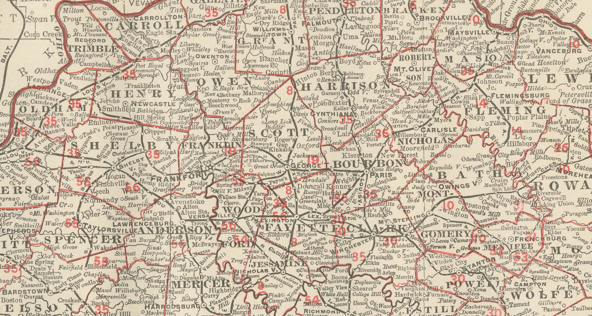
Rand McNally combined two states on this antique map of Kentucky and Tennessee, a double-page sheet on pages 166 and 167 of its 1899 indexed atlas, running from the Ohio River and Cincinnati down to the Mississippi state line.
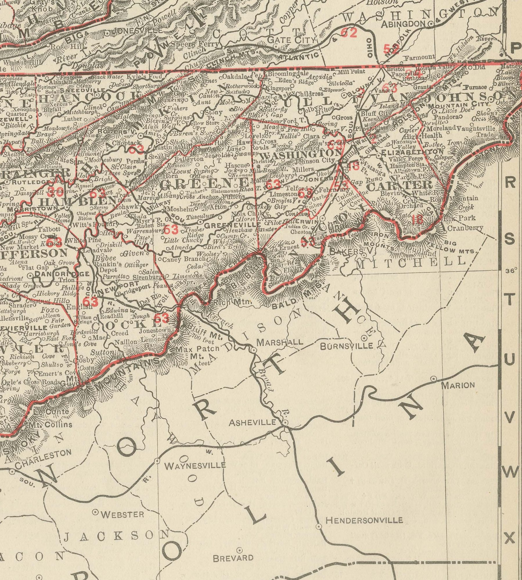
West to east the map spans the Mississippi River and the Missouri Bootheel to the Cumberland Gap and the Blue Ridge along the North Carolina and Virginia borders. The parallel ridges of the Cumberland Plateau run diagonally across the eastern third of the sheet in continuous hachured relief, dividing the Bluegrass country around Lexington and the fertile Nashville Basin from the mountainous, sparsely settled counties of eastern Kentucky and East Tennessee. Louisville, Lexington, Nashville, Memphis and Chattanooga all show a denser tangle of converging rail lines than the surrounding countryside, a fair reflection of their standing as the region's principal commercial centers.
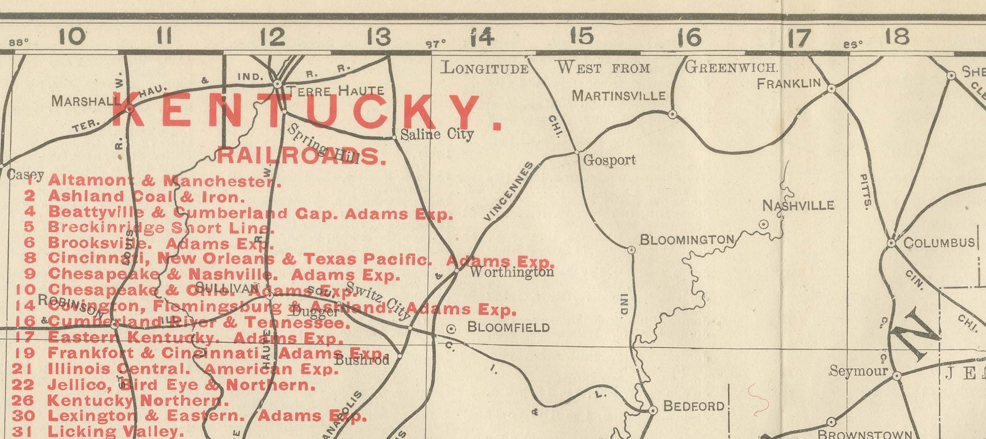
Separate red railroad legends for each state run down the left margin, some thirty companies in all: Kentucky's include the Chesapeake and Ohio, the Louisville and Nashville and the Illinois Central, and Tennessee's the Nashville, Chattanooga and Saint Louis, the Southern, and the Memphis and Charleston. Scale is given as 18 statute miles to the inch. A note at the foot directs the reader to the adjoining Illinois, Indiana, Ohio, West Virginia, Virginia, North Carolina, Georgia, Alabama, Mississippi, Arkansas and Missouri maps, an unusually long list that shows how central this sheet was within the atlas.
The publisher, Rand, McNally and Company of Chicago, began as a printing business founded by William Rand in the 1850s and joined by Andrew McNally. By the time of the 1899 indexed atlas it ranked among the leading American map publishers, known above all for railroad and commercial maps that were revised from one issue to the next.
Technically the sheet is a lithograph with printed color: the outline was printed in black and the colors were printed over it, so none of the coloring was added by hand. Once framed, this antique map of Kentucky and Tennessee would suit a home or office in either state today, and it will appeal to collectors of American state maps and railroad history.
The sheet is in good condition for its age, with light, even age toning, minor wear to the lower right edge and the original central fold as issued. Please review the images for further condition details.
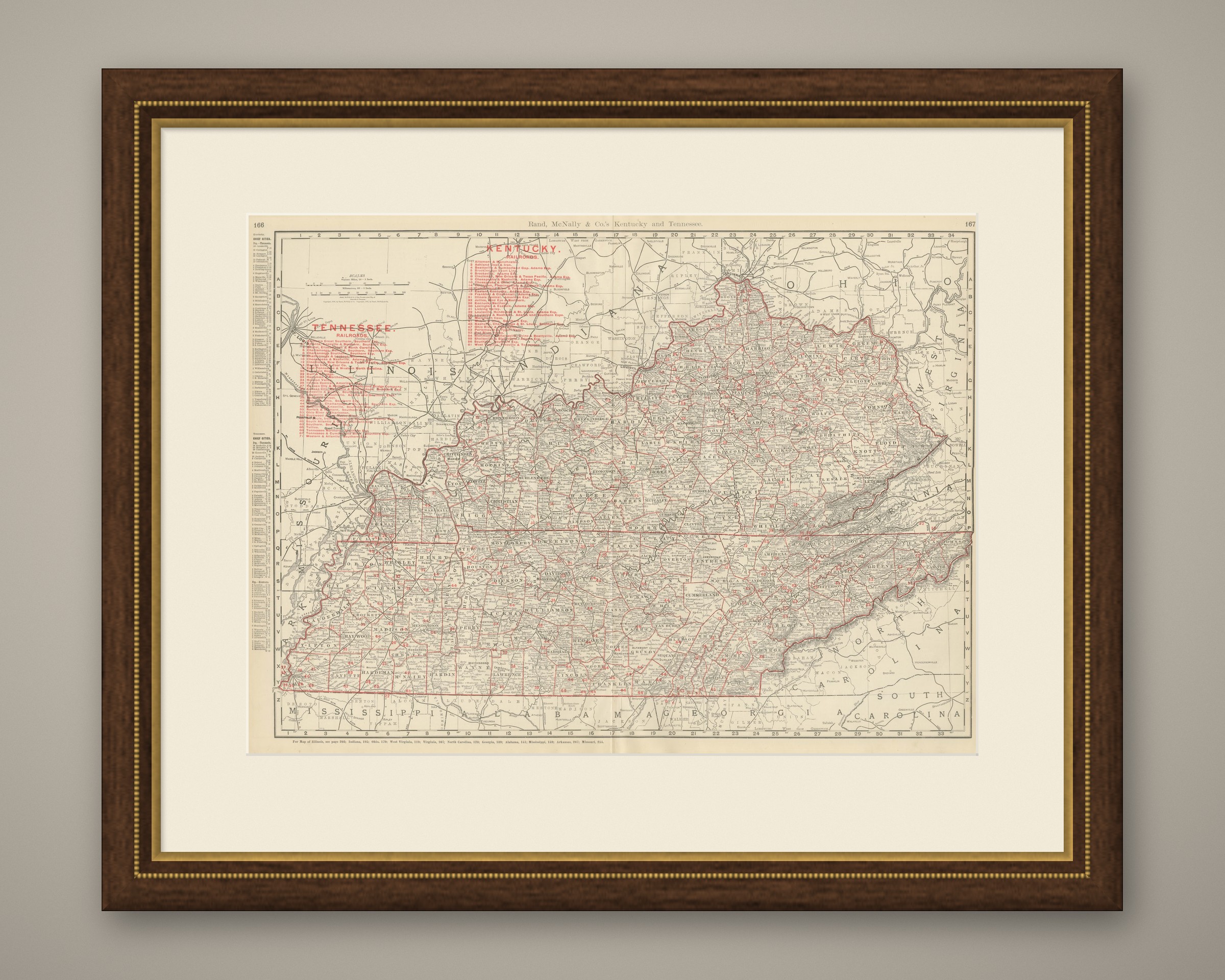
This is an original antique map, not a modern reproduction. This item is sold unframed. Any framed or interior images are shown for presentation and inspiration only, unless the listing explicitly states that the item is sold framed.