maps-prints.com
✦
Black Friday Sale
Friday 20 to Monday 30 November: up to 30% off original antique maps and prints
The terms
- Up to 30% off selected original antique maps and prints. Every piece is an original, printed in its own time; none is a reproduction.
- The sale runs from Friday 20 November to Monday 30 November. Sale prices shown here apply from Friday 20 November; until then pieces are sold at their regular price.
- Free FedEx shipping on qualifying orders placed on our own websites: USA, Canada, UK and Europe over $500 / €450; rest of the world over $750 / €675. Smaller orders pay our normal shipping rate.
- Orders placed from 15 to 30 November ship from 1 December, in time for Christmas. Our shipping partner is InXpress.
- Each piece is unique, so the sale is while stock lasts.
Collection:AllAmericanSea chartsMilitaryNatural historyFashionArchitectureBotanicalSacredEast Indies
Sale prices apply from Friday 20 November. Save the pieces you like with the heart and come back on Friday.
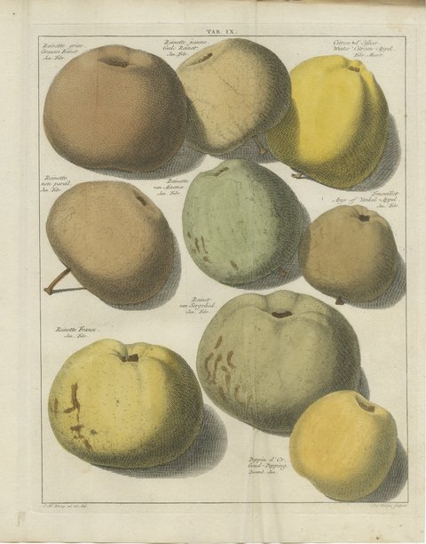 Reinette Franse and Goud-Pepping, Antique Russet Apple Plate, 1790
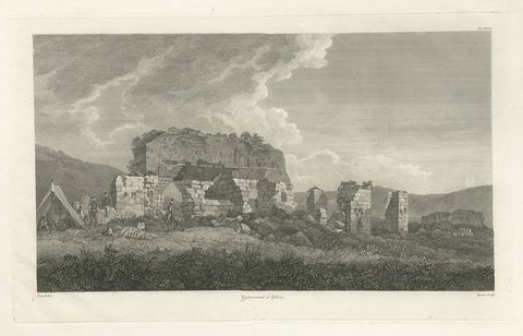 Gymnasium at Ephesus, Antique Engraving after William Pars, 1797
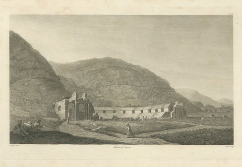 Theater at Patara in Lycia, Antique Engraving after L. Mayer, 1797
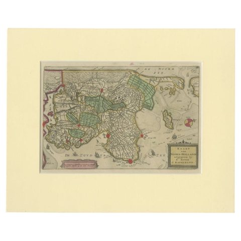 Rare Antique Map of Noord-Holland, Province in The Netherlands, c.1750
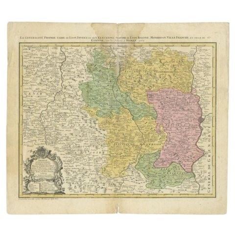 Antique Map of the Beaujolais Region by Homann Heirs, 1762
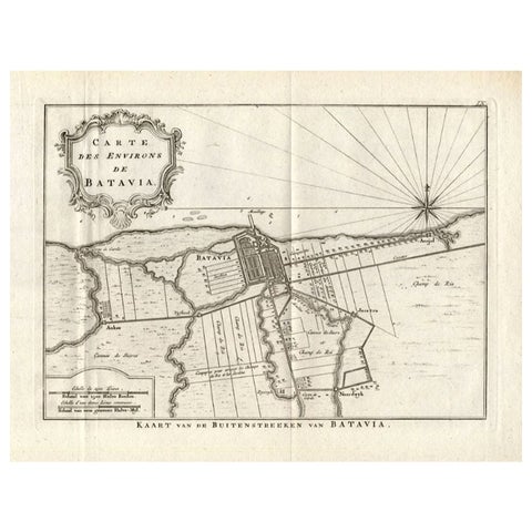 Antique Map of the Region of Batavia by Conrade, 1782
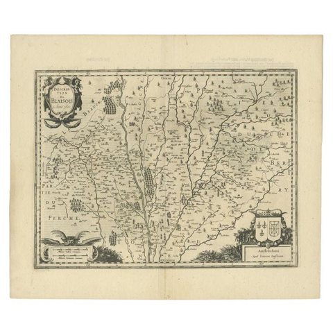 Antique Map of the Region of Blois by Janssonius, c.1650
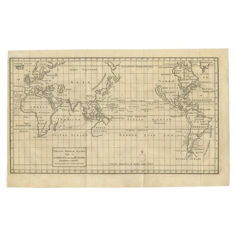 Antique Map of the World on Mercator Projection by Anson, 1749
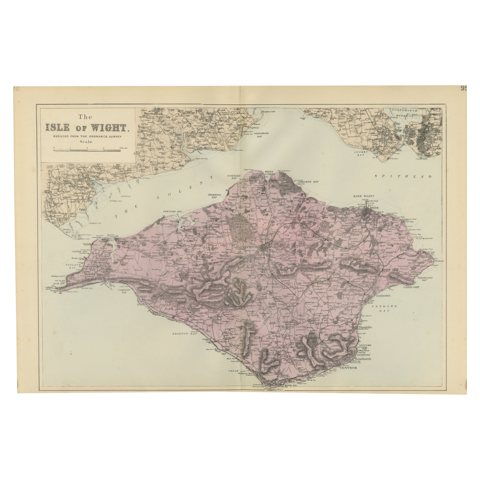 Isle of Wight Map, Ordnance Survey Style, Bacon London, 1885
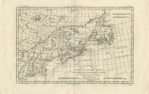 Antique Map of Canada, Newfoundland & Acadia — Gulf of St Lawrence, Bonne c.1780
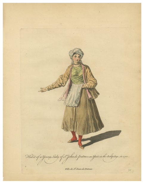 Antique Costume Print Young Lady of St John of Patmos Jefferys, 1749
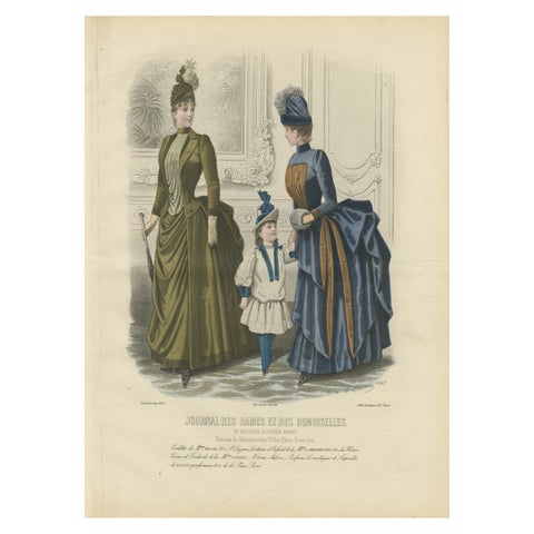 French Fashion Print, Parisian Ladies & Child Interior Scene, c.1887
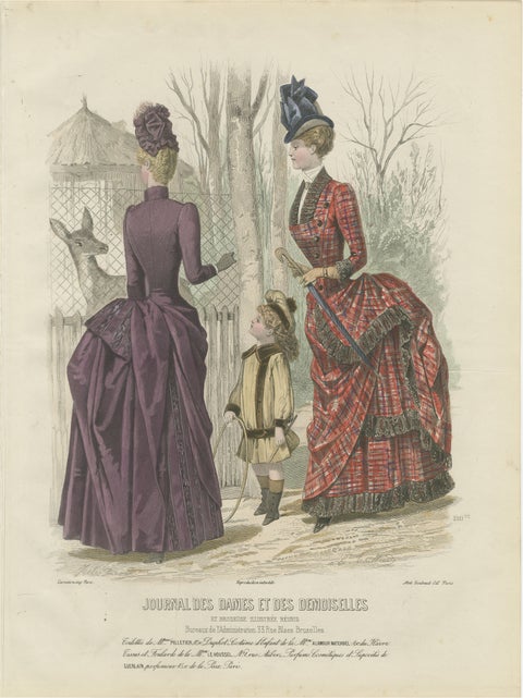 French Fashion Print, Tartan Dress & Child at Zoo, Hand-Colored, c.1887
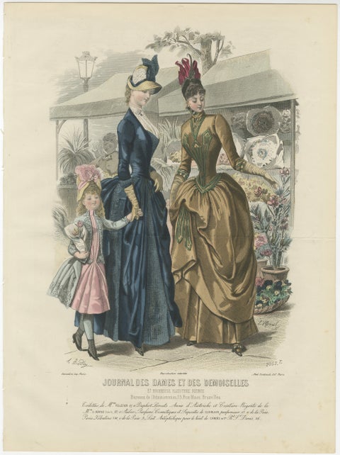 Antique French Fashion Plate, Elegant Ladies in Garden Scene, c.1880
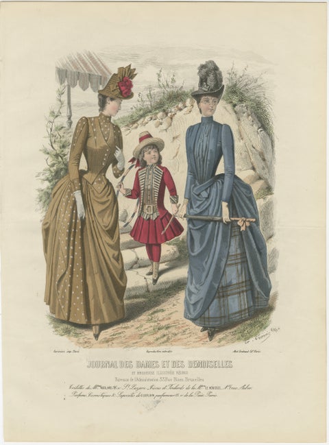 Antique French Fashion Plate, Ladies and Child in Park Scene, c.1880
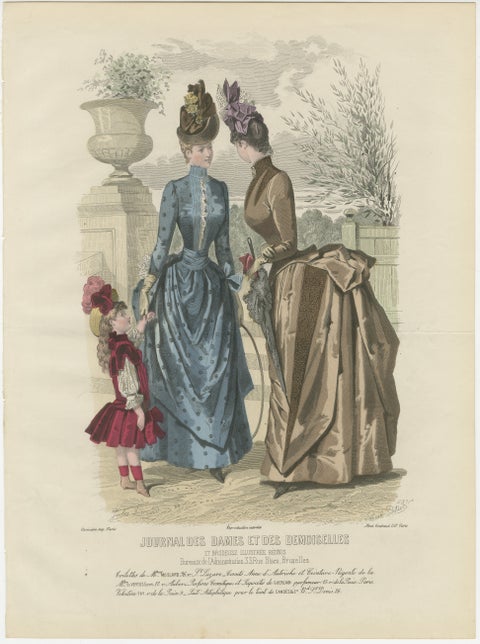 Antique French Fashion Plate, Ladies and Child in Park Scene, c.1880
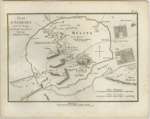 Ancient Athens City Plan with Acropolis by Ambroise Tardieu, 1825
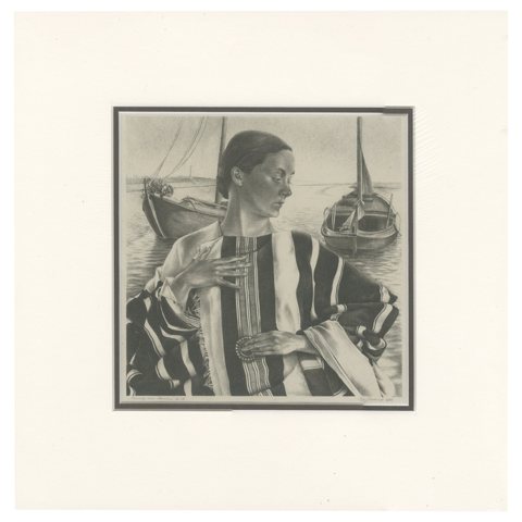 Vintage Print of the Lady of Stavoren by Voskuil, 1946
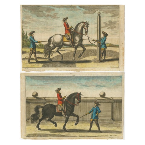 Set of 2 Antique Horse Riding Prints, c.1680
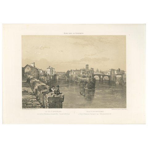 Rome Tiber Island & Ponte Rotto, San Bartolomeo, Antique Print 1869
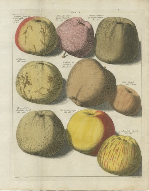 Goud-Reinet and Drap d'Or, Antique Hand-Colored Apple Plate, 1790
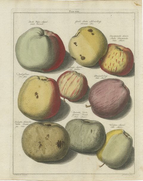 Bellefleur and Witte Renet: Hand-Colored Antique Apple Plate, 1790
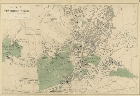 Antique Town Plan of Tunbridge Wells with the Common and its Parks, 1885
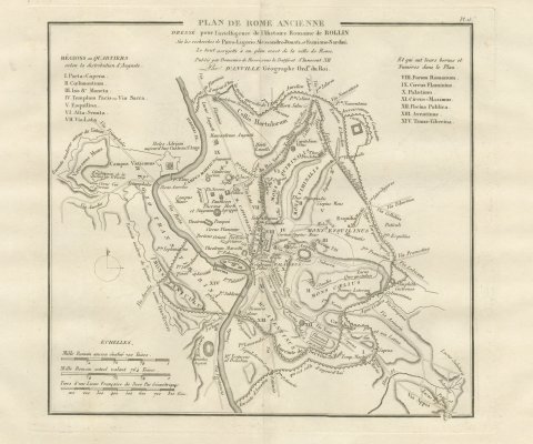 Plan of Ancient Rome with the Fourteen Augustan Regions, d'Anville, 1818
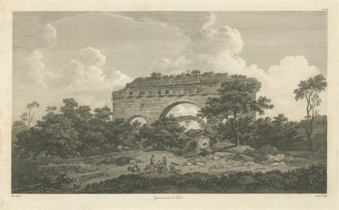 Arch of the Gymnasium at Troas, Plate LII, Antique Engraving, 1797
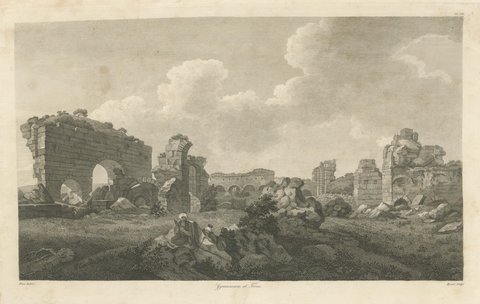 Gymnasium at Troas, Plate LIII, Antique Engraving after William Pars, 1797
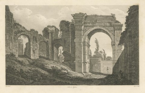 Arch at Mylasa, Antique Engraving after William Pars, 1797
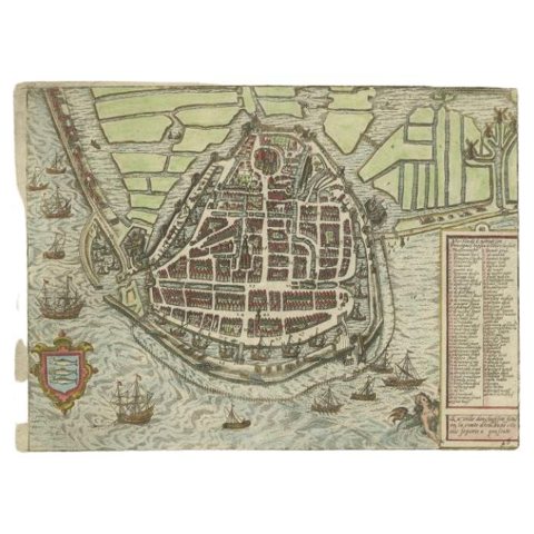 Antique Map of the City of Enkhuizen by Guicciardini, 1625
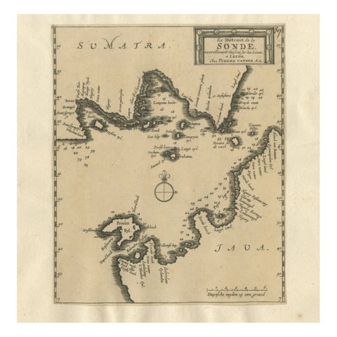 Sunda Strait Sea Chart, Sumatra and Java, Dutch Engraving c.1700
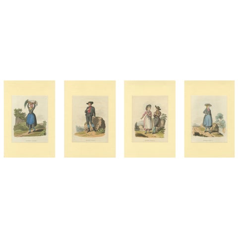 Austrian Folk Costume Prints – Elegant 4-Plate Set of Rural Figures, c. 1820
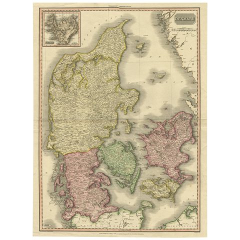 Denmark – Large Format Antique Map by Pinkerton, Fine English Engraving c.1814
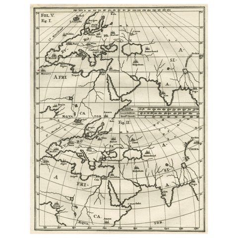 Intriguing Antique Map of Europe, Asia and Africa by Scherer, c.1703
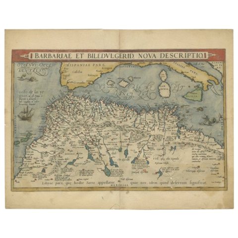 Antique Map of North Africa by Ortelius, c.1600
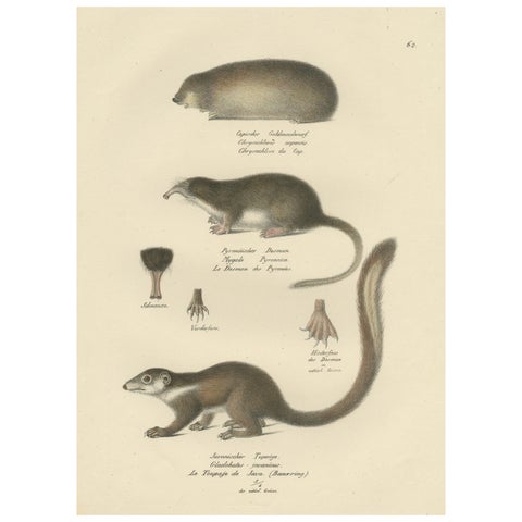 Antique Print of a Golden Mole, Shrew and Tree Shrew
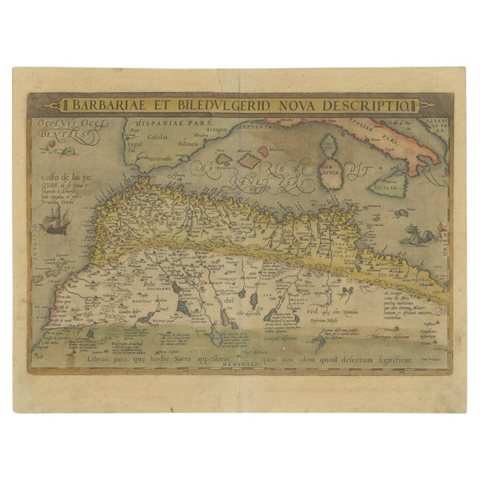 Antique Map of North Africa by Ortelius, c.1580
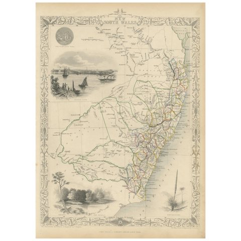 Antique Map of New South Wales by Tallis, circa 1851
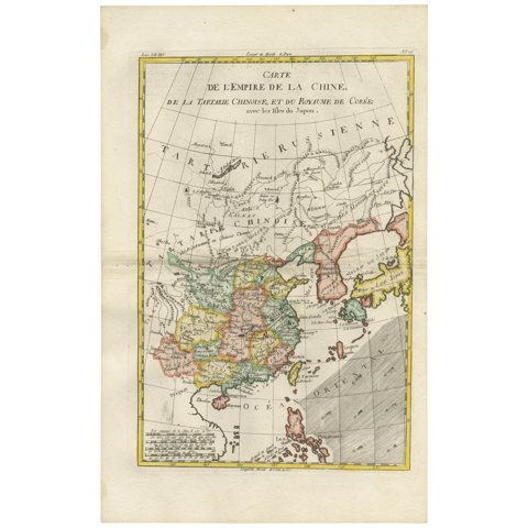 Antique Map of China, Korea, Japan and the Northern Philippines, circa 1780
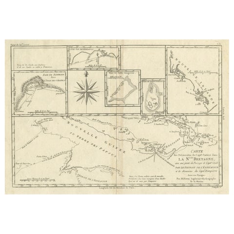 Antique Detailed Map of Papua New Guinea and the Regions to the West, ca.1780
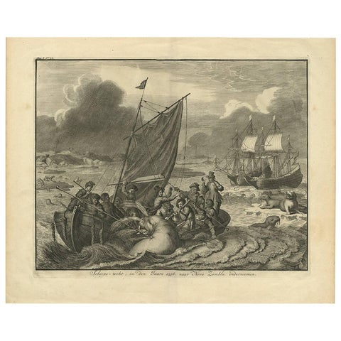 Antique Print of the Sea Voyage to Nova Zembla, Russia, circa 1730
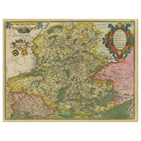 Hainaut Map Ortelius 1590 – Rare Hand-Colored French-Belgian Border Map
Sharing the sale? Download the Black Friday banners.