About this sheet
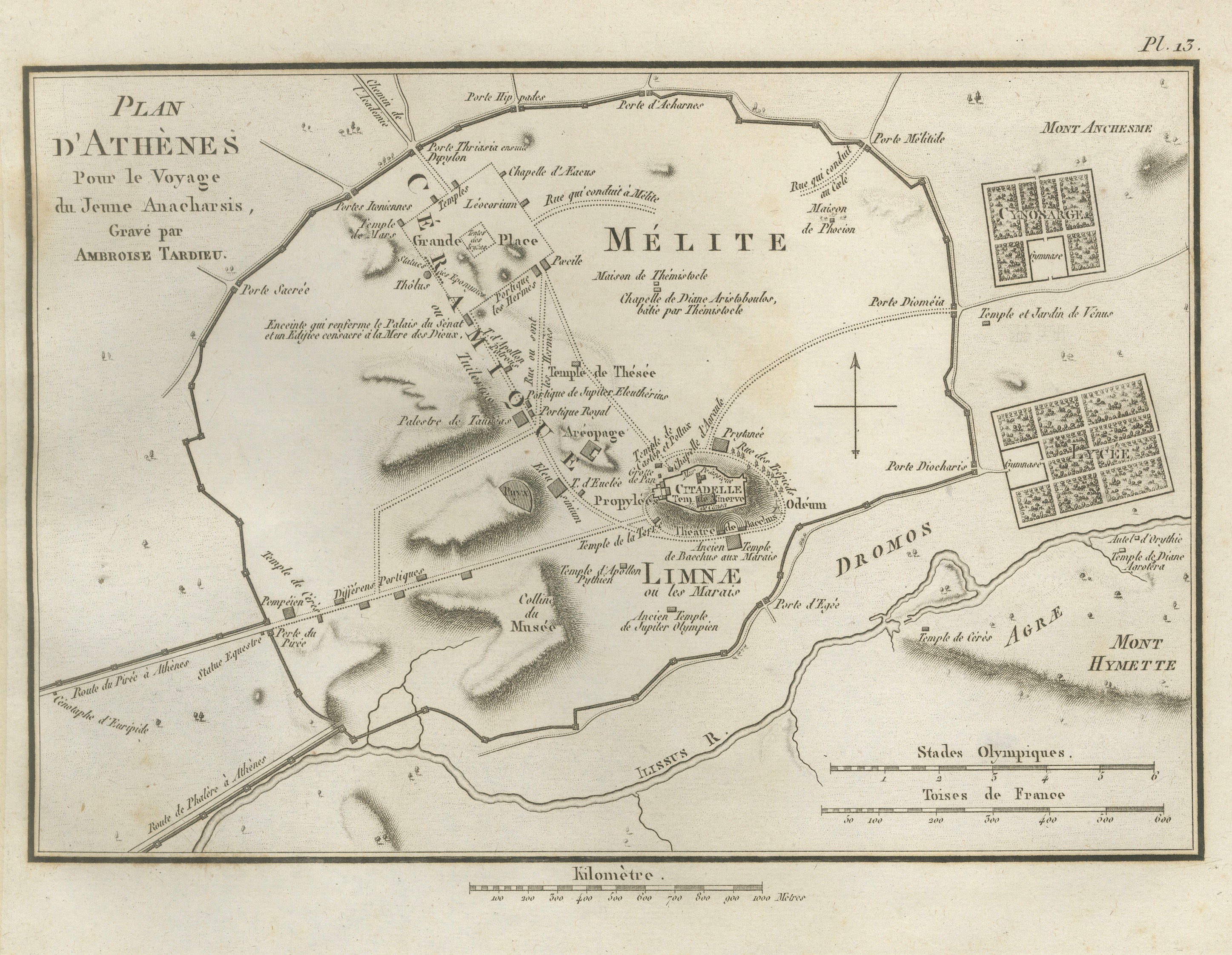
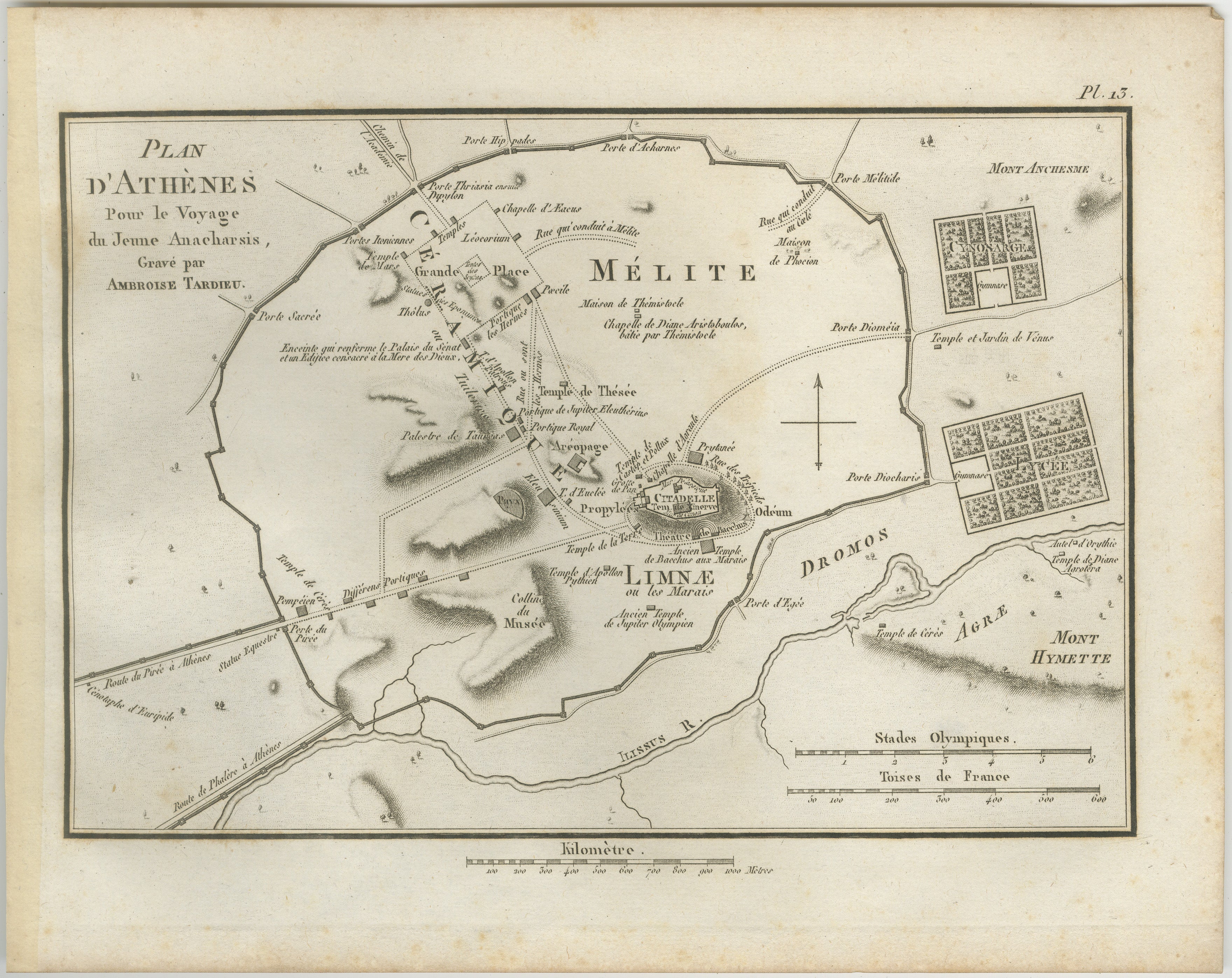
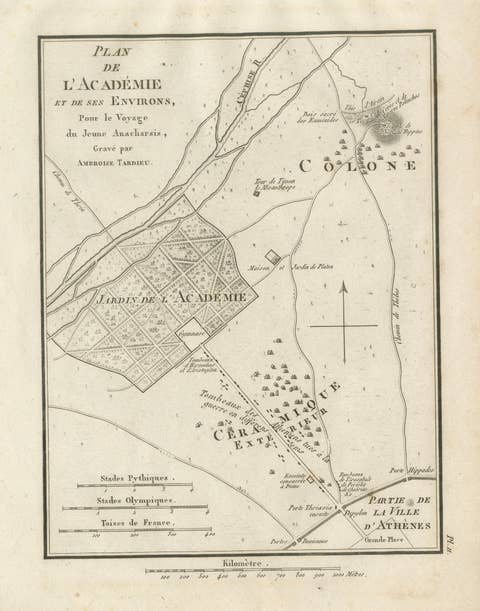
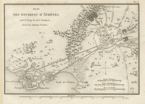
Original antique engraved plan of ancient Athens, titled “Plan d’Athènes,” engraved by Ambroise Tardieu for the atlas accompanying Jean-Jacques Barthélemy’s Voyage du jeune Anacharsis en Grèce.
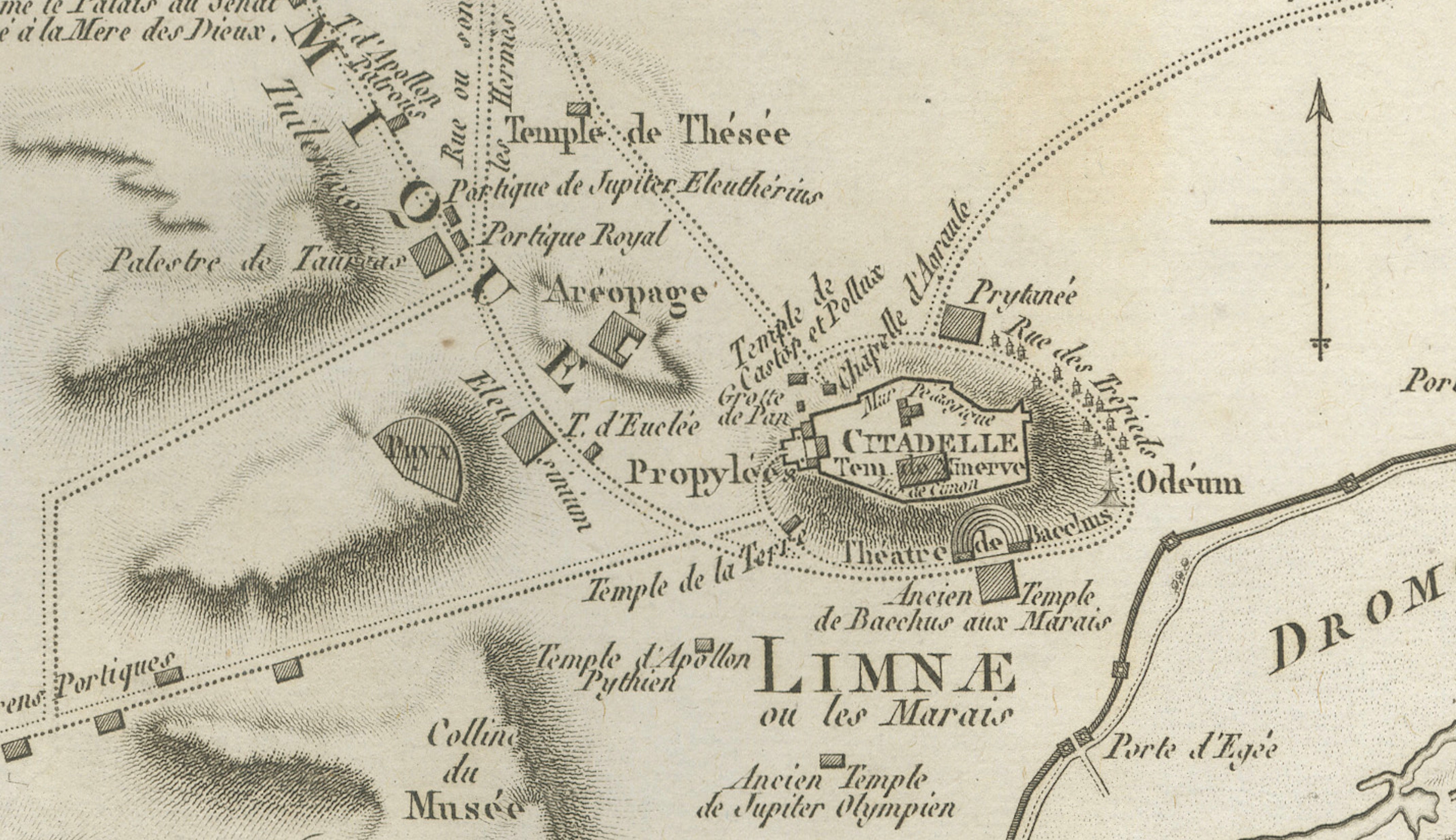
This detailed historical plan reconstructs Athens during the classical period, with the Acropolis or “Citadelle” prominently positioned at the centre. The surrounding ancient city walls, gates, roads, districts, monuments, temples and public buildings are carefully identified.
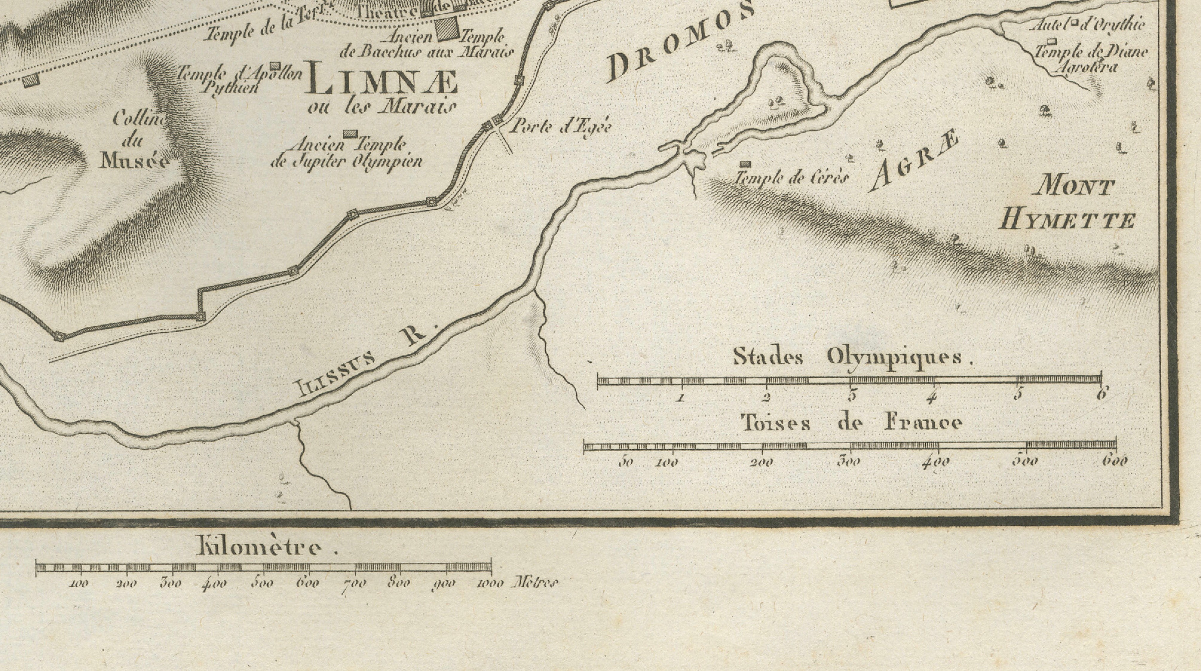
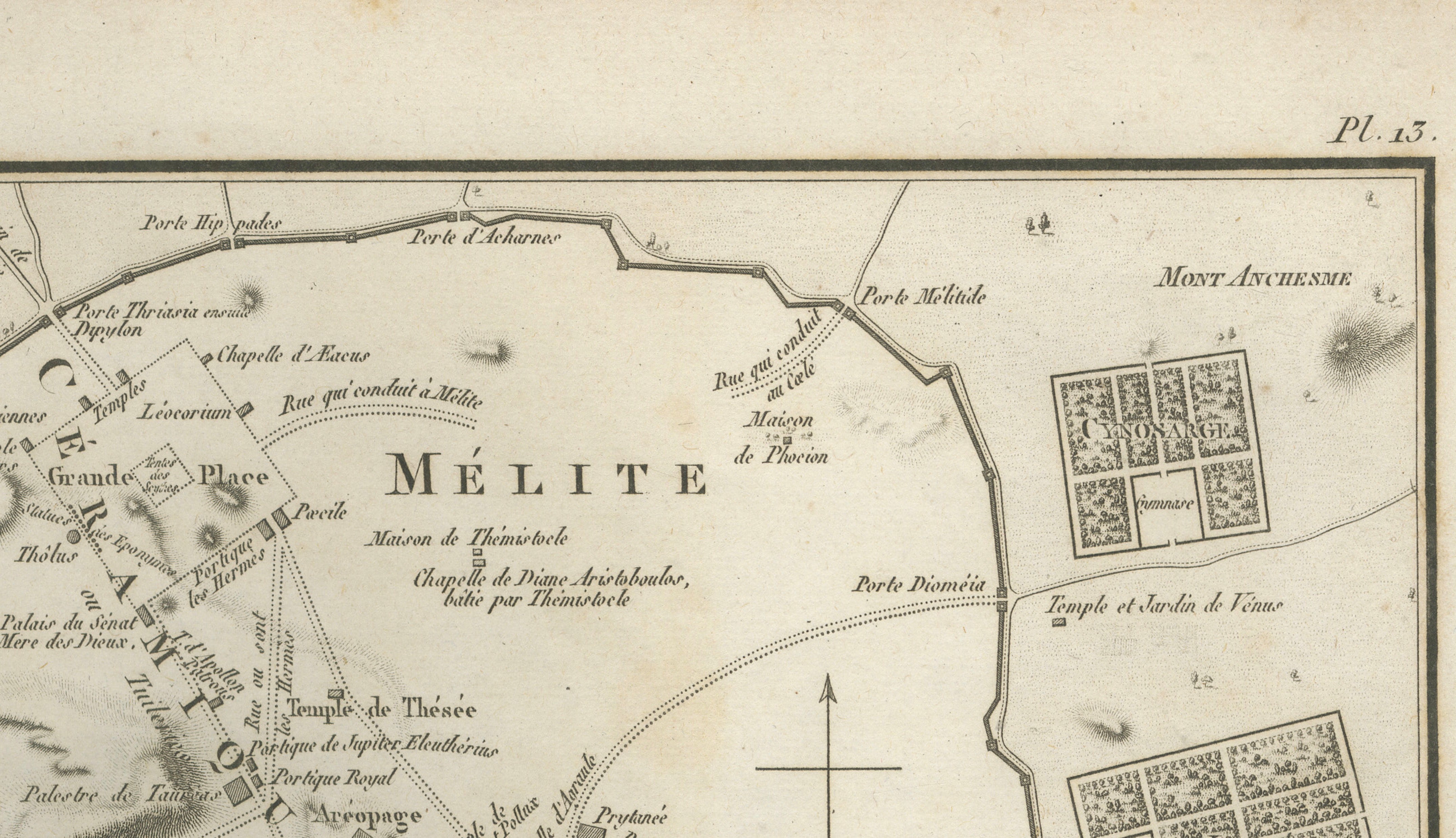
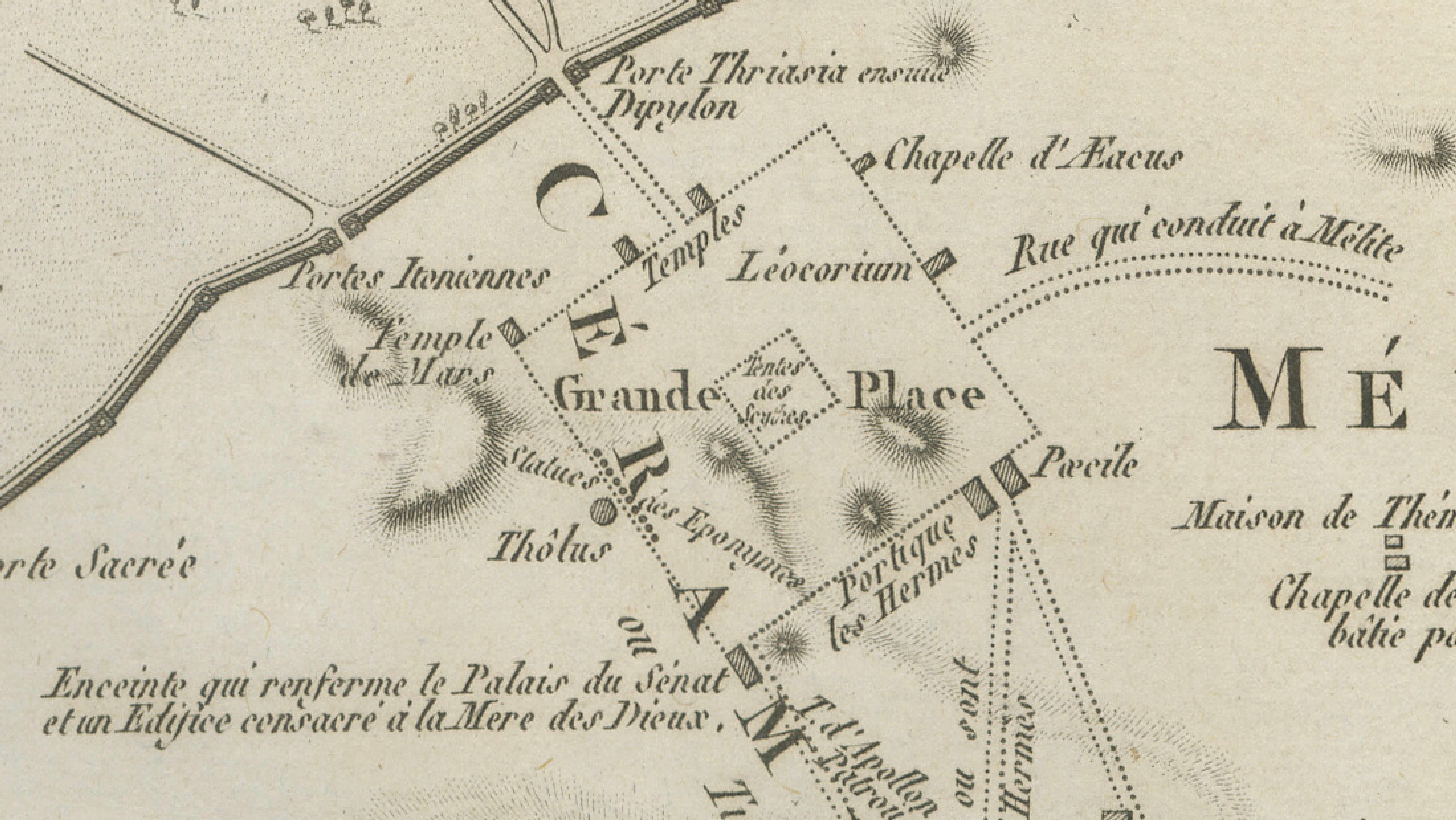
Among the numerous sites shown are the Areopagus, Theatre of Bacchus or Dionysus, Odeum, Temple of Theseus, Prytaneum, Pnyx, Agora, Ceramicus, Lyceum and the ancient districts of Melite and Limnae. The plan also marks roads leading towards Piraeus and other parts of Attica.
Beyond the city walls are the Ilissus River, Mount Hymettus and Mount Anchesmus, together with gardens, gymnasia, temples and other sites associated with ancient Athenian life.
The extraordinary concentration of classical landmarks makes this an especially appealing map for collectors interested in Athens, Greek archaeology, classical architecture and ancient history.
Creator / Engraver: Ambroise Tardieu
Title: Plan d’Athènes
Publication: Paris
Date: 1825
Technique: Engraving on paper
Plate: Pl. 13
Subject: Ancient Athens and the Acropolis, Greece
Condition:
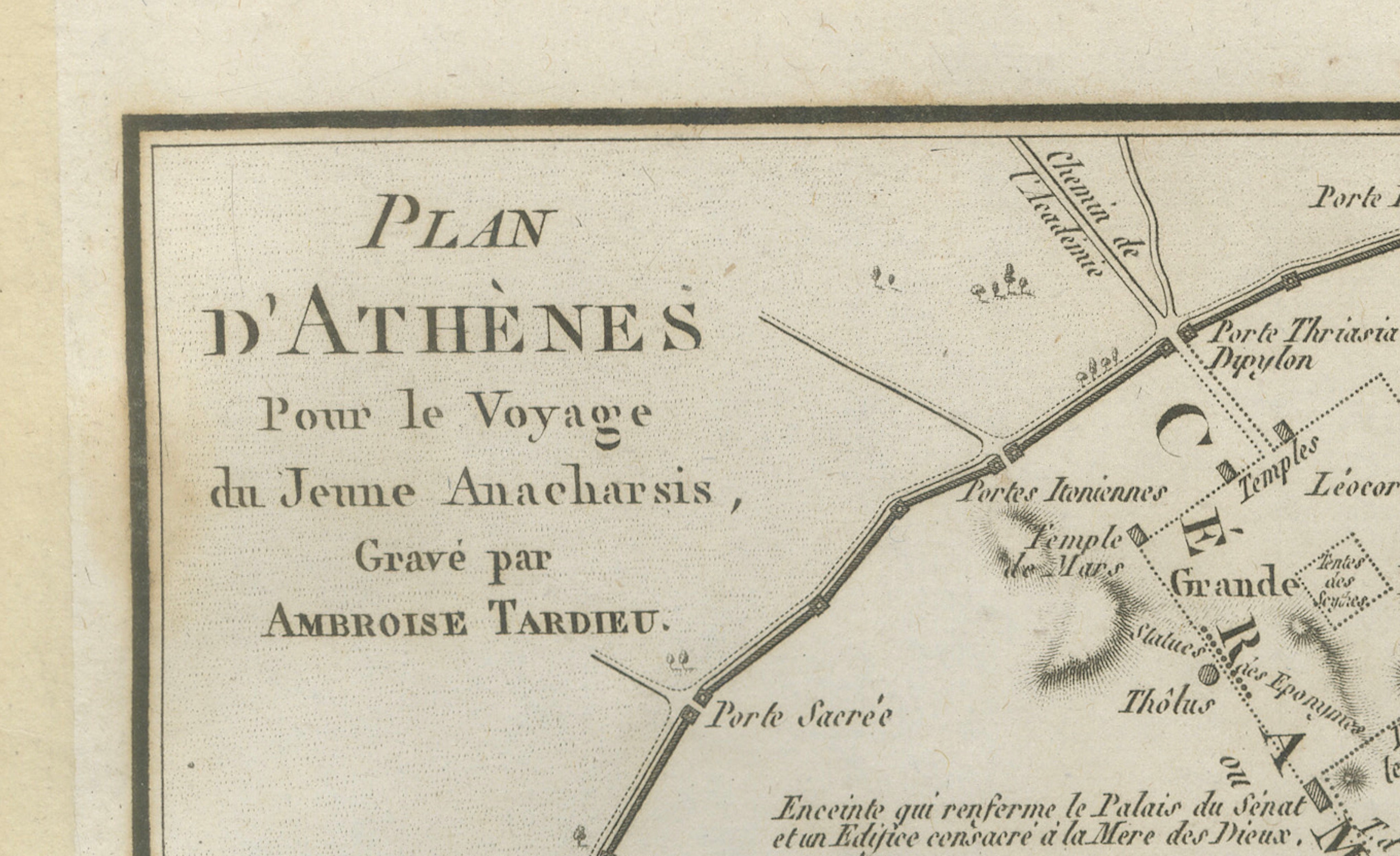
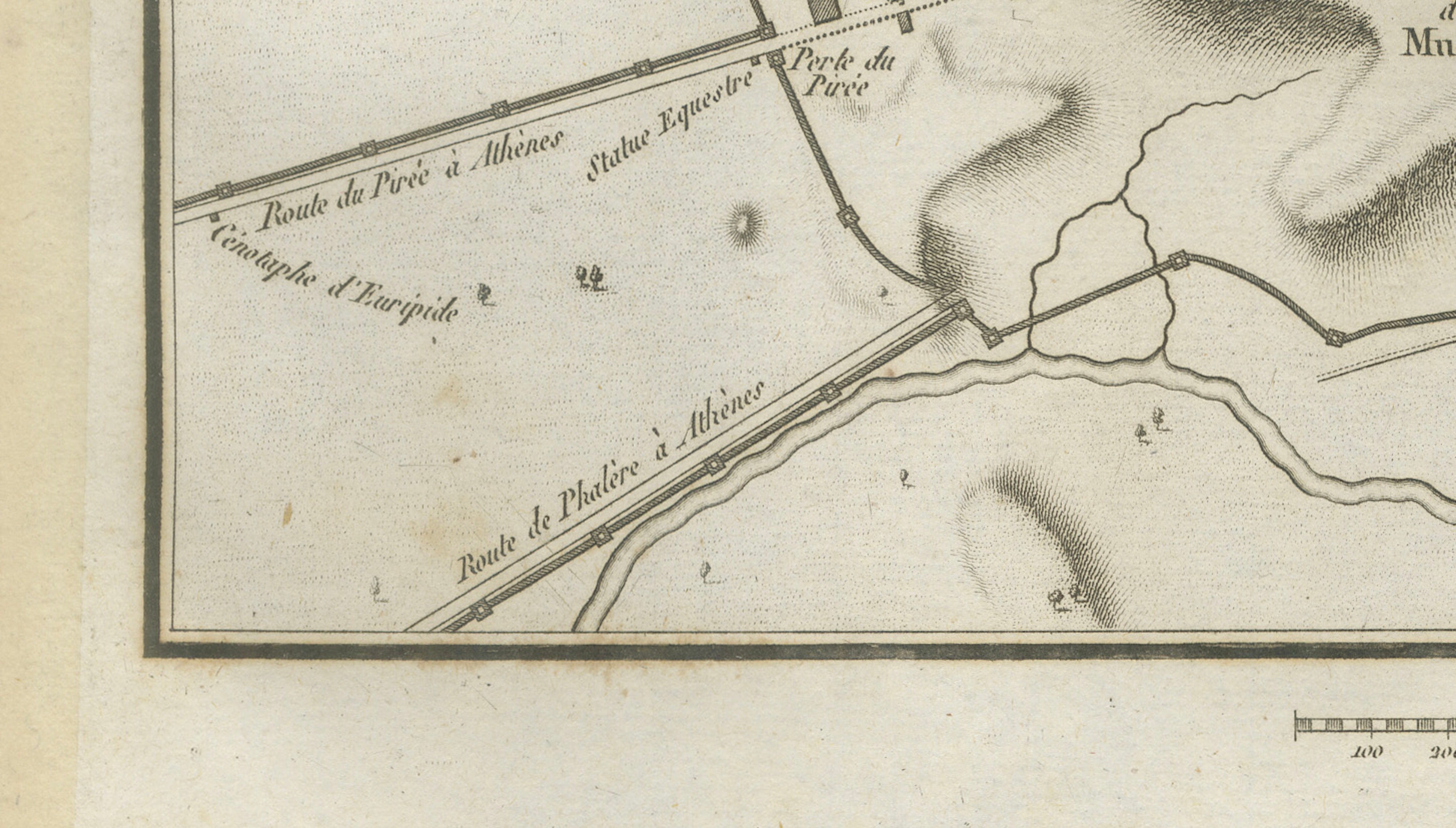
Good antique condition with general age toning, scattered foxing and occasional stains and marks, particularly in the margins. Some discoloration along the outer edges and old mounting or tape residue along the left margin. The engraved image remains strong and detailed. Please study the photographs carefully as they form an important part of the condition description.
Original antique map. Not a modern reproduction.
Sold unframed. Any framed or interior images shown are for presentation and inspiration only.
Keywords: Athens Map, Ancient Athens, Acropolis Map, Athens City Plan, Acropolis, Ancient Greece, Classical Athens, Greek Archaeology, Agora, Areopagus, Theatre of Dionysus, Pnyx, Temple of Theseus, Kerameikos, Lyceum, Ilissus River, Ambroise Tardieu, Antique Map, Historical Cartography, Classical Greece, 1825 Map.