About this sheet
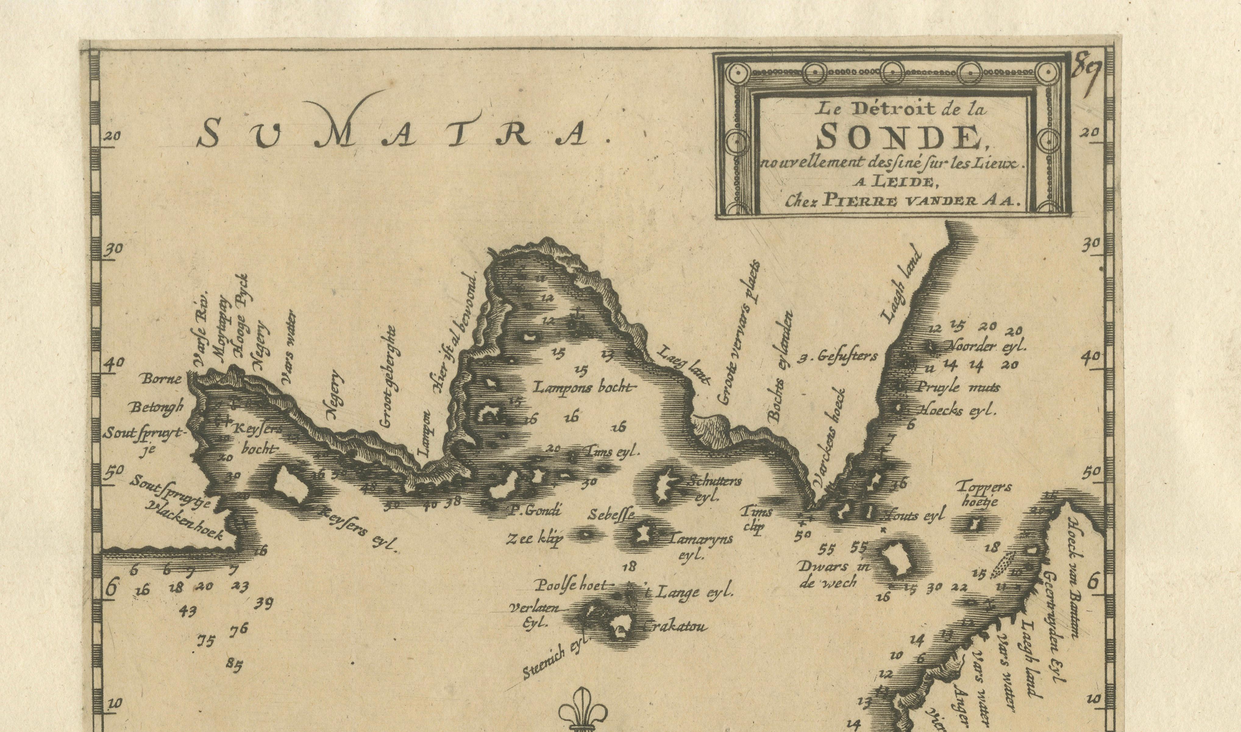
Sunda Strait Sea Chart, Sumatra and Java, Dutch Engraving c.1700
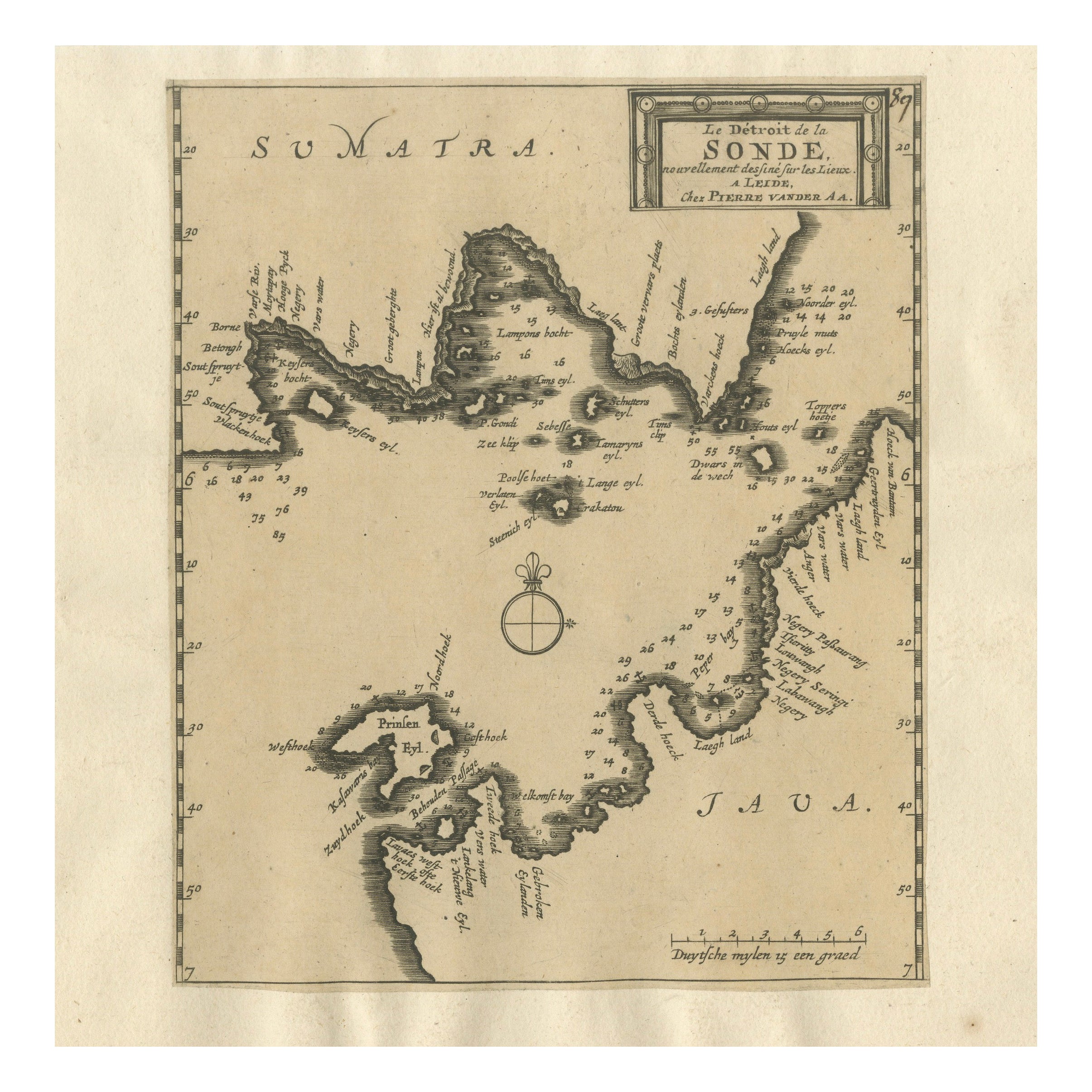
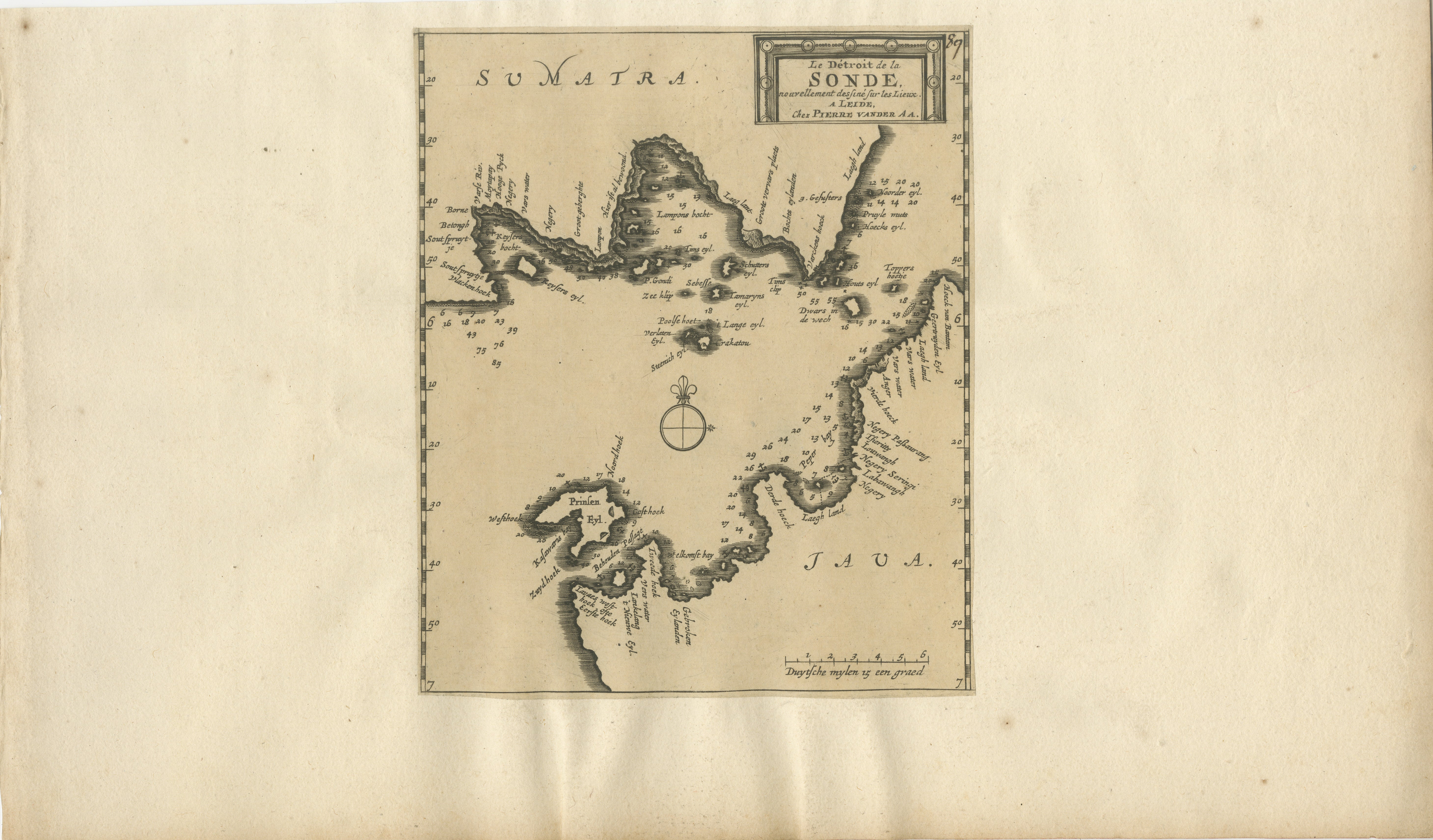
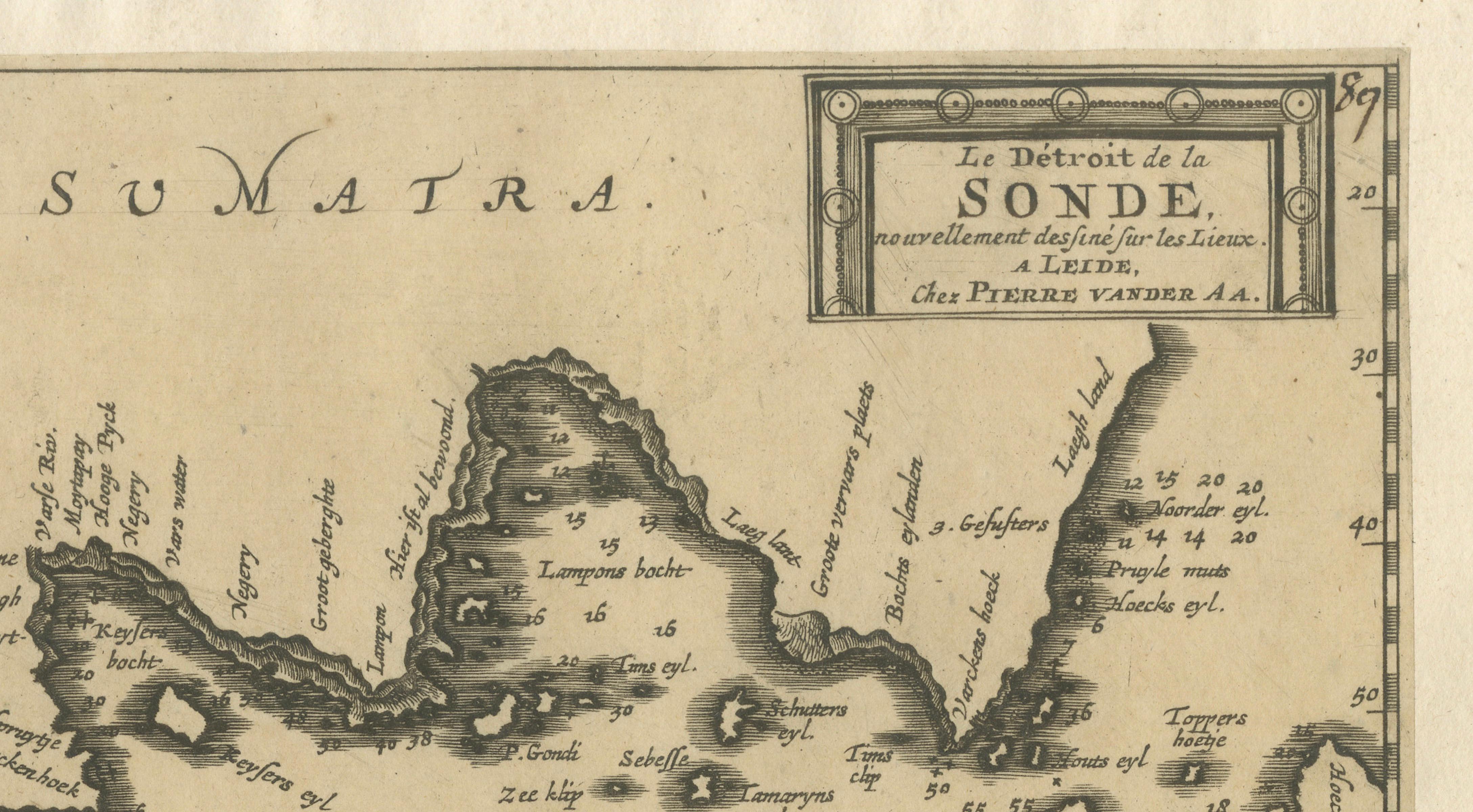
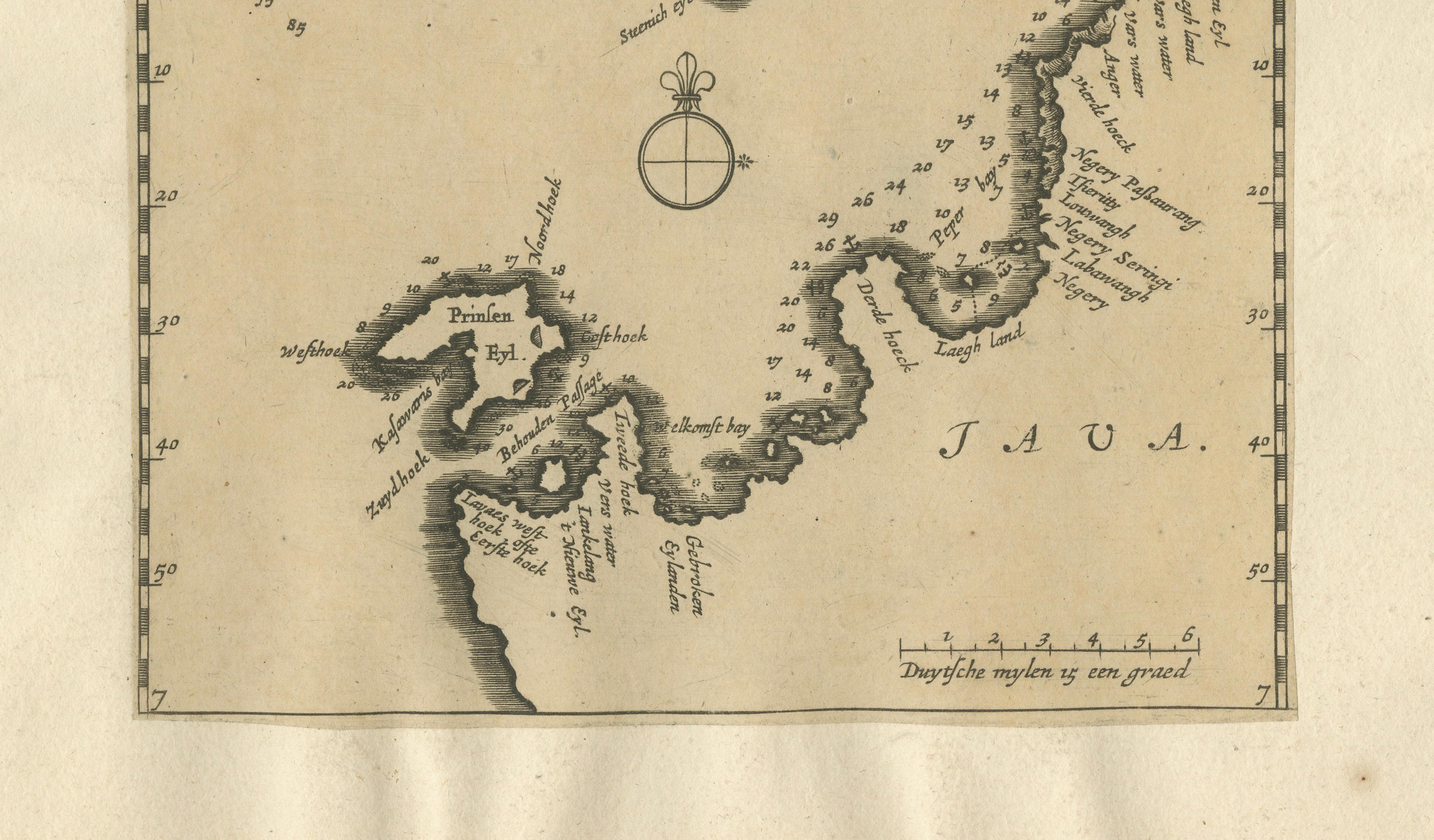
This engraved sea chart depicts the Sunda Strait, the strategically vital passage between Sumatra and Java, separating the Indian Ocean from the Java Sea. Issued in Leiden around 1700 by Pieter van der Aa, the map reflects early Dutch maritime knowledge of one of Southeast Asia’s most important and hazardous navigational corridors.
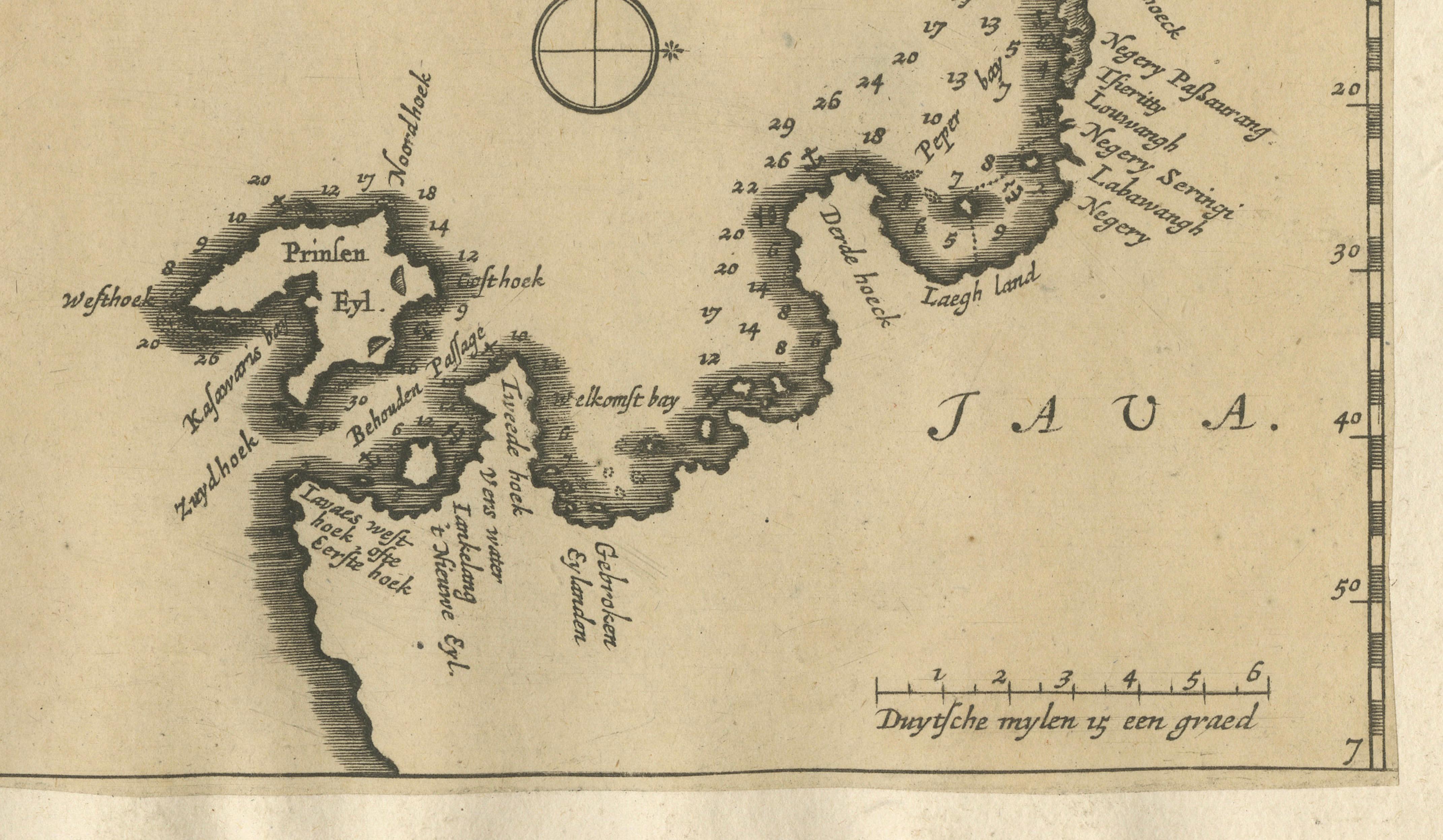
The chart focuses on coastal outlines, anchorages, and depth soundings, with numerous numerical markings indicating measured sea depths. These details underline the map’s practical function for navigation, particularly for Dutch East India Company traffic moving between the Indian Ocean and the trading centers of Java and the wider Indonesian archipelago. The islands are rendered with bold coastlines, while the surrounding waters are carefully annotated to aid safe passage.
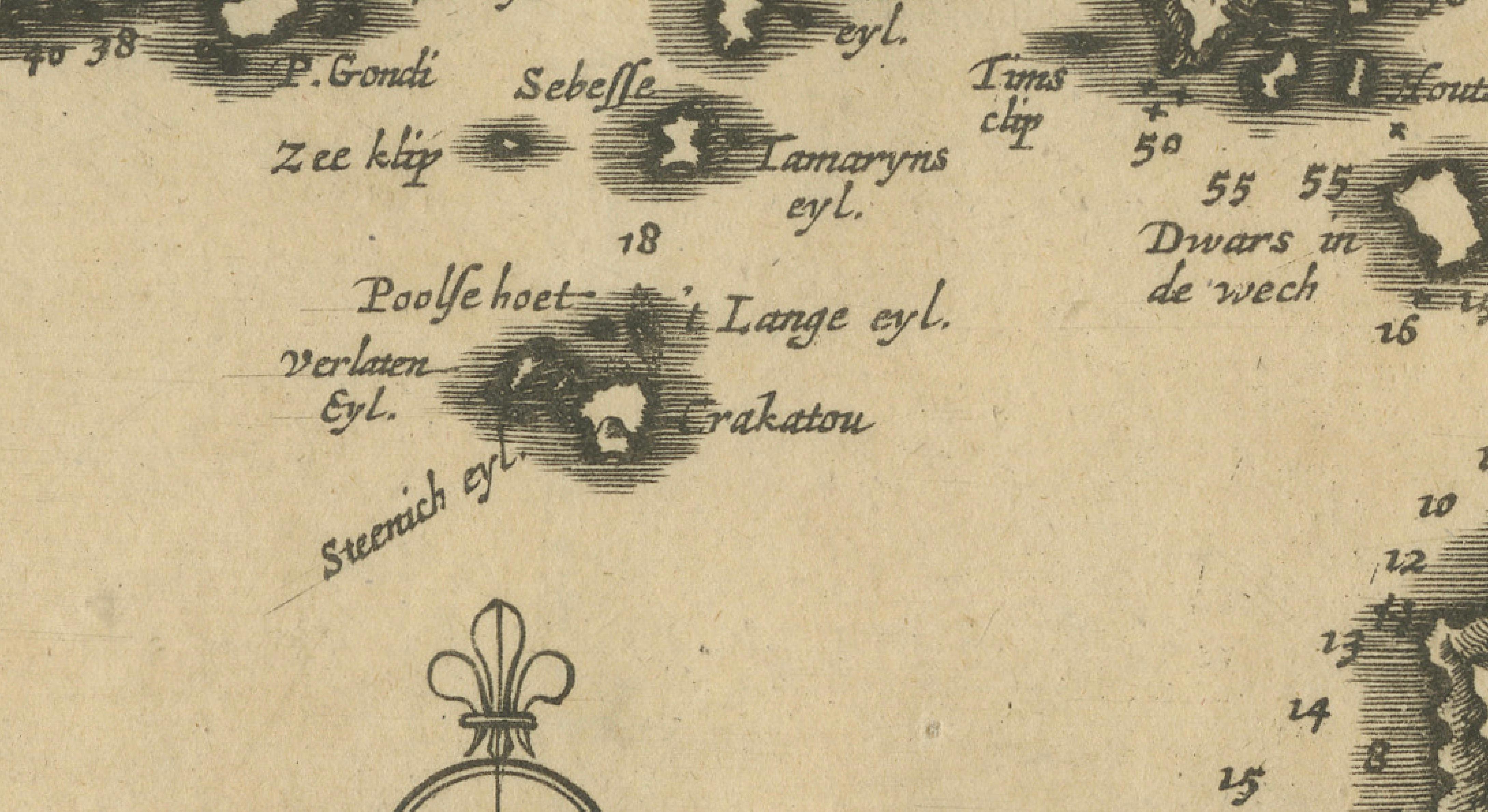
Notably, the map identifies Krakatau (Krakatoa), the volcanic island situated within the Sunda Strait. Long before its catastrophic eruption in 1883, Krakatau was already recognized as a significant geographic and navigational landmark, and its inclusion here reflects early European awareness of the volcanic hazards present in this region.
Pieter van der Aa was known for publishing compact yet information-dense maps derived from earlier VOC and European sources, issued for atlases and travel compilations. Charts of the Sunda Strait were of particular importance due to strong currents, narrow passages, and volcanic activity, making accurate charting essential. As such, this map represents not only geographic knowledge but also the commercial and strategic priorities of the Dutch Republic at the height of its maritime power.
Printed on period paper, the chart survives as a working historical example rather than a pristine collector’s copy. Its clarity, restrained design, and focused subject make it well suited for decorative framing, while retaining clear historical relevance for collectors of early Southeast Asian cartography.
Condition report: Engraved map on paper, mounted on a secondary support. Overall age toning and light surface wear. Evidence of original folds visible beneath the mount, consistent with atlas origin. Margins trimmed to mount. Condition consistent with age and reflected in price.
Framing tips:
A wide mat or float mount is recommended to visually separate the engraving from the support and soften the appearance of folds. Dark wood or black frames complement the understated engraving style and enhance contrast.
Technique: Engraving
Maker: Pieter van der Aa, Leiden, circa 1700